Embed Size (px)
Citation preview

Little Minnesota River / Big Stone Lake Restoration Project

Roberts Conservation District
Roberts County, SD
Mike JensenProject Coordinator

Project Area
Watershed Project Area: Approx. 247,873 acresCropland: 130,176Rangeland: 68,489Hay and CRP: 26,900Woodland: 9,915Other: 12,393


Big Stone Lake
Surface area: 12360 acresMaximum Depth: 16 feetAverage Depth: 8 feetLength 26 milesShoreline: 62 milesStorage: 98,880 acre feet

Little Minnesota River
Approximately 40 miles longActual river miles not calculated780 feet vertical drop from headwaters to mouthEmpties into upper end of Big Stone Lake1025 ft elevation difference in project area

BSL Water quality problems
HypereutrophicExcessive algal bloomsOverabundant, rooted, aquatic plantsDecreasing lake depth

Causes
Primarily non-point sourcesPhosphorus loading and sediment from:Cropland erosionFertilizer runoffFeedlot runoffPoor rangeland conditionLakeshore erosionStreambank erosion

Causes (cont.)
Point Sources Included:Lake side septic systemsWastewater Treatment Systems at,
1) Sisseton, SD2) Browns Valley, MN3) Veblen, SD4) Peever, SD

Project Sponsors
Roberts County CommissionRoberts Conservation DistrictMarshall County Conservation District

Involved Agencies
Natural Resources Conservation ServiceSD Dept. of Environment and Natural ResourcesSD Dept. of Ag; RC&FFarm Service AgencyUS Fish and Wildlife ServiceSD Dept. of Game, Fish and Parks

Involved Agencies (Cont.)
Sisseton-Wahpeton Sioux TribeBureau of Indian AffairsSD Association of Conservation DistrictsSD Cooperative Extension ServiceEnvironmental Protection Agency

Involved Agencies (Cont.)
City of SissetonCity of PeeverCitizens for Big Stone LakeUpper Minnesota River Watershed District

Water Quality Goals (Early)
Stated Goal from Early Project Periods 1985-1994:
“To increase the recreation potential and lifespan of Big Stone Lake.”

Water Quality Goals (Cont.)
NRCS PL-566 Goals include:36% Reduction of Phosphorus Loading16% Reduction of Sediment Loading
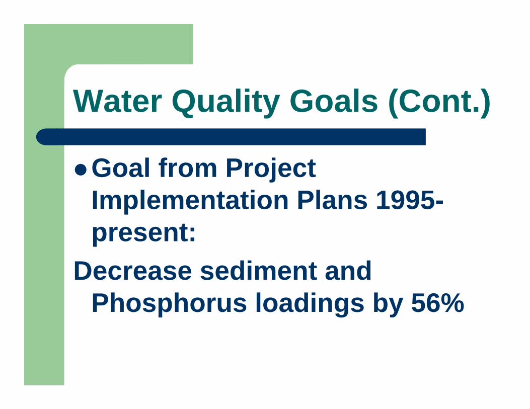
Water Quality Goals (Cont.)
Goal from Project Implementation Plans 1995-present:
Decrease sediment and Phosphorus loadings by 56%

Current Project Goals/Accomplishments
910.10Buffers / Filter Strips (CCRP)
153340Grazing Land Improvement Acres
250Pasture / Hayland Seedings
76Farm Show Display / Booth
2330Nutrient Management Plans
3936Grassed Waterways
33Streambank / Riparian Demonstration Projects
5962Multiple Use Ponds
110568500No-Till Acres
817Animal Waste Management Systems
AccomplishedPlannedProducts

Total Accomplishments
AWMS: 51Grassed Waterways: 59No-till: 36,515 acresPonds/Dams: 115Grazing system cross fences: 71,100 lf

AWMS

POND
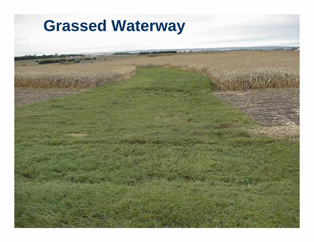
Grassed Waterway

Stream Bank Erosion Control

Riparian Forest Buffer

No-till: Soybeans in wheat stubble

Accomplishments (Cont.)
Pasture/hayland planting: 2078 acresNumerous, alternative water sources for grazing management including: wells, pipelines, tanks, spring developmentsExclusion fencesGrazing Management Plans on approximately 16,360 acres

Alternative Water Source and Cross-fence for Grazing Management

Cross-fence for Grazing Management

Public Awareness Signs

Load Reductions
Current Project Period:
Sediment Reduction approx. 21,435 T/yr
P Reduction approx. 57,360 lb/yr

Load Reductions TotalCalculated Reductions Since Mid 1980’s
116,235 lb/yr Phosphorus 29.6% Reduction
45,836 Tons/yr Sediment32% Reduction

Other Land Treatments,Not Calculated
Increases in acreage of General Sign-up and some Continuous Sign-up CRP: CP’s 1 – 2 – 10 –23 etc.WRP and Flood Plain Easement acres in the watershed

Cost Share Funding Sources
EPA 319NRCS PL-83-566, Small WatershedEQIP USFWS SD Game, Fish and ParksFSA Continuous sign-up Conservation Reserve Program (CCRP)CDBGAgricultural Conservation Program (ACP)

Technical Assistance
EPA Conservation DistrictSD DENRSD Ag Waste TeamNRCS EngineersNRCS FO PersonnelUSFWS

Current Project Funds Expended
EPA 319: $349,945
Local and Producer Match: $375,671
Other Federal Funds: Approx: $588,767(PL-566, EQIP)

Total Known ExpendituresRoberts County (Ag)
EPA: $982,616
State, Local, Producer: $1,010,518
Other Federal Funds: $993,066
Total Expenditures Approximately $2,986,200

Point Source Expenditures
Browns Valley Wastewater Facility:$2,400,000, 55% Federal, 20% State, 25% Local
Sisseton Wastewater Facility: $1,695,404$1,238,615 Federal, $456,790 Bond Issue

Grant County, SD
AWMS $93,274 CDBG & Local
Lake Farley Restoration: About $307,000

Grant County, SD
Lake Level and Whetstone River Flow Management: $12,300,000$227,000 of this was nonfederalDiverts about 1460 cfs away from lake at normal elevation.

Wrap Up
Remaining PL-566 and EQIP Construction ProjectsAccording to 2006 Integrated Report: BSL is listed as “Water impaired but has an approved TMDL”There is still work to be done in the watershed.
Future projectsRoberts Conservation District remains committed to assisting local producers and residents in reducing soil erosion and improving water quality.Lake Traverse TMDL has been initiated.Moving to implementation with the Northeast Glacial Lakes Watershed Improvement and Protection Project.Still working with NRCS on a Small Watershed Project for Whetstone River.

Comments/Questions
Thank you