Embed Size (px)
Citation preview

Copyright ©2013 EuroGeographics
Integration of geospatial
information for SDG monitoring
2nd meeting of the IAEG-SDGs
Bangkok 26-28 October 2015
Laura PoulsenHead of Division
Danish Geodata Agency

(g) They will be rigorous
and based on evidence,
informed by country-led
evaluations and data which is
high-quality, accessible,
timely, reliable and
disaggregated by income, sex,
age, race, ethnicity, migration
status, disability and
geographic location and other
characteristics relevant in
national contexts.
Geospatial in the 2030 Agenda for
Sustainable Development

UN GGIM: The United Nations Committee of
Experts on Global Geospatial Information
Management

Urban/rural classification (Albania)
Future development of the school
population (Germany)
Potential territorial coverage of broadband
internet access (Portugal)
Data Integration (UN-GGIM: Europe)

Increased earth
observation capacity
• High repetition rates to acquire large data coverage in
short time periods.
• High spatial resolution (MMU < 1 ha) supports
assessment of forest stands with low canopy closure and
mapping of small disturbances of forests and forest
degradation
• High spectral resolution with dedicated bands (red–
edge) to discriminate between forest and spectrally
similar vegetation types

Landsat / Sentinel-2
coverages (10 days
simulation) –
covering Camaroon
Picture: Courtesy ESA
Application of EO in forest monitoring

Application of EO in wastewater monitoring
IAEG indicator: Proportion of wastewater safely treated
EO support for the indicators (pop density, landuse, landcover, etc.)
integrated with other geospatial, survey and admin data
1)
High resolution satellite images can
document the location of treatment
facilities.
2)
EO integrated with other geospatial data to
estimate waste water generation potential,
releases and their impacts.

EO data integration: more than filling gaps…• Indicator framework will place many demands on
national statistical systems
• Lack of capacity for additional monitoring
• Huge cost to support more demanding indicators
• Cost effective gains can be made when EO data are
considered
• WHO/UNICEF JMP-SDSN work on cost effective
monitoring of the water sector will be informative
for SDG monitoring in general
Can help discussions on (some) grey indicators?

Geospatial analysisTarget 11.2 indicator example
”Proportion of the population that has a public transit stop within 0.5 km”
Data sources needed:
• Population distribution (grid/addresses)– include data on a spatially detailed distribution of
residential population inside the cities or regions.
• Road network– The road segments should include attributes allowing for a
selection of streets accessible by pedestrians.
• Public transport data– the location of stops and stations (frequency of departures
at these stops).

European example (DG Regio): Access to public transport in urban areas in Europe

Geospatial analysis: Proportion of the population
that has a public transit stop within 0.5 km

Symbiosis – supporting user needs
Positioning geospatial information to address global challenges
Socio-
Economic
Information
Geospatial
Information
Education
Policy
Analysts
Natural
Resources
Agriculture
Local
Government
Health
Human
Services
Business
Intelligence
National
Security
Emergency
Services
Academic
Researchers
Infra. and
Transport
Land
AdminEconomics

So where does geospatial fit in?

Conclusions
• Geospatial information and analyses can significantly enhance the effectiveness of the SDG indicators in monitoring and guiding sustainable development from global to local scales
• The value of statistical and geospatial data compilation for the implementation and monitoring of the 2030 Agenda constitutes an important basis for the continued collaboration between our two communities
• This requires of us, not only to promote the use of statistical and geospatial data as reporting and monitoring tools for achieving the SDGs, but also to support capacity building in the intersection of our distinct disciplines and development of the requisite infrastructure.
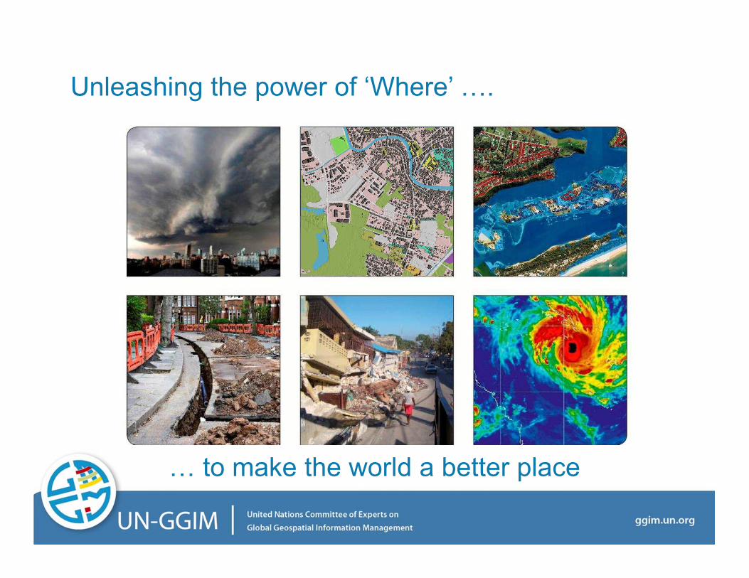
Unleashing the power of ‘Where’ 0.
0 to make the world a better place