Embed Size (px)
Citation preview

History of Mapmaking
CHY 4U

Chinese Compass
220 BCE
Susan Silverman, Smith College History of Science: Museum of Ancient Inventions, Compass, 1998 http://www.smith.edu/hsc/museum/ancient_inventions/compass2.html (July 23, 2012).

Timeline of Mapping Developments
206 BCE – 220 CE: Han dynasty mapping of China; oldest known compass is attributed to this period
90 -168 CE: life of Ptolemy (Claudius Ptolemaeus, Greek geographer and astronomer who came up with the idea of using coordinates to locate places via longitude and latitude)
9th Century: Ptolemy’s Geography translated into Arabic
780-850: life of Al-Khwarizmi, Islamic mathematician who also made maps identifying cities in Asia and Africa
1270: marine (portolan) chart 1321: mappaemundi + marine chart

TO Map
University of Texas at Arlington Library, N.d., http://libraries.uta.edu/SpecColl/Exhibits/weuromaps/tms1-T-O-map.jpg (August 31, 2012).

TO Map
Wikipedia, TO Map, 2007, http://en.wikipedia.org/wiki/File:TO_map.gif (August 31, 2012).

Mappae Mundi
“This, after all, was the great Age of Faith, and the mapmakers – most of them were churchmen or had been instructed by Church scholars – accepted what the Bible told them as the literal truth. They believed that their task was not simply to record or measure. Rather, it was to fit the world and what they thought they knew of it into the prevailing philosophical and religious viewpoints of the time.” = context
Jeremy Harwood, To the Ends of the Earth: 100 Maps that Changed the World (London: Marshall Editions, 2006), 31-32.

TO Maps
T- 0 map (circle = 0 = ocean, T divides 3 zones – Asia, Europe, Africa) – lines are bodies of water that divide the continents (Mediterranean, Nile, Don).
Called mappaemundi (map of the world) As Christianity spread through the Roman Empire, maps
became adorned with symbols of Christian power (kings on thrones, T= the cross, 3 parts = holy trinity)
Earthly paradise = east Jerusalem centre of earth (navel) Since they’re illustrated, they show what Europeans thought
people in the zones looked like: Monstrous races in unknown places (are they human?) Fear of Apocalypse (Gog and Magog – marching to Europe as
barbarians and ending civilization)

Carte Pisane (portolan or maritime chart)
1290
Barnard College, History of American Maritime http://beatl.barnard.columbia.edu/maritime/atlas/photocd/Img0033.jpg (July 23, 2012).

Ptolemy’s World Map
British Library. Learning: Mapping Minds. Ptolemy’s World Map, 1482. N.d. http://www.bl.uk/learning/artimages/maphist/minds/ptolemysmap/ptolemy.html (July 23, 2012).
1482
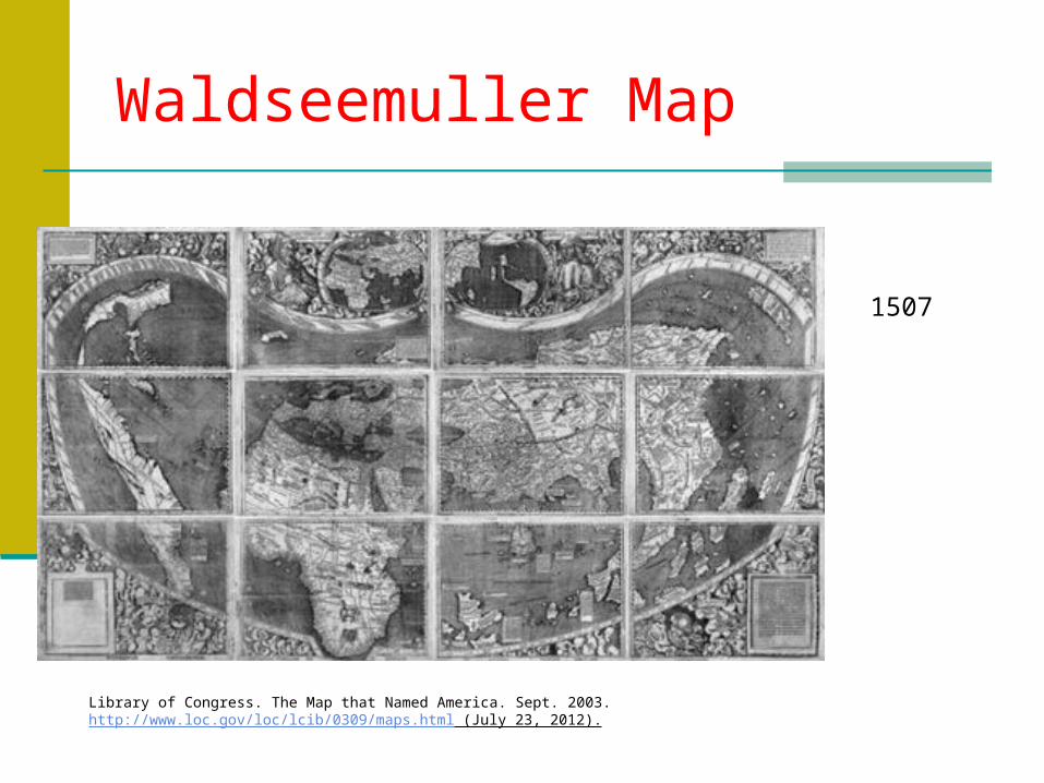
Waldseemuller Map
Library of Congress. The Map that Named America. Sept. 2003. http://www.loc.gov/loc/lcib/0309/maps.html (July 23, 2012).
1507

Islamic Map
Late 17th century
Library of Congress, The Heavens and the Earth. Medieval Islamic Map of the World. N.d., http://myloc.gov/Exhibitions/EarlyAmericas/Interactives/HeavensAndEarth/html/earth/artifact8-earth.html (July 23, 2012).
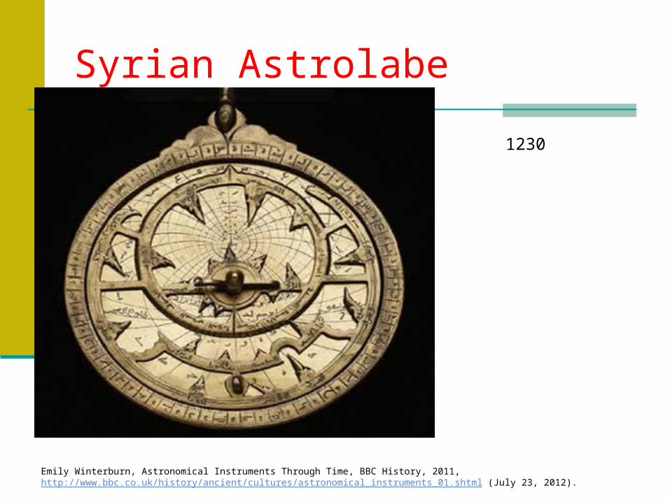
Syrian Astrolabe
1230
Emily Winterburn, Astronomical Instruments Through Time, BBC History, 2011, http://www.bbc.co.uk/history/ancient/cultures/astronomical_instruments_01.shtml (July 23, 2012).

Henricus Martellus World Map
c. 1490
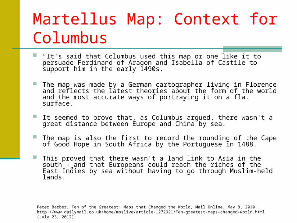
Martellus Map: Context for Columbus
“It's said that Columbus used this map or one like it to persuade Ferdinand of Aragon and Isabella of Castile to support him in the early 1490s.
The map was made by a German cartographer living in Florence and reflects the latest theories about the form of the world and the most accurate ways of portraying it on a flat surface.
It seemed to prove that, as Columbus argued, there wasn't a great distance between Europe and China by sea.
The map is also the first to record the rounding of the Cape of Good Hope in South Africa by the Portuguese in 1488.
This proved that there wasn't a land link to Asia in the south - and that Europeans could reach the riches of the East Indies by sea without having to go through Muslim-held lands.”
Peter Barber, Ten of the Greatest: Maps that Changed the World, Mail Online, May 8, 2010, http://www.dailymail.co.uk/home/moslive/article-1272921/Ten-greatest-maps-changed-world.html (July 23, 2012).
For Fun
http://www.bbc.co.uk/history/interactive/animations/map_making/index_embed.shtml BBC History: Animated History of European
Mapmaking