Embed Size (px)
Citation preview

LANDF RM – Update on Early Action funded projects to manage local flood risk
17/01/11
1Brian Higgs and Graham Hodgson – Dudley Metropolitan Borough Council
GIS facilitating the delivery of aSurface Water Management Plan
Brian HiggsCorporate GIS Unit Manager
&
Graham HodgsonGroup Engineer – Civil Engineering
Structure of Presentation
• Describe Borough & G.I. infrastructure within Dudley MBC to give context
•• Look at how the project has already exploited the technology
• Consider how it will influence future direction
• A business view on the approach, what has been achieved and future direction

LANDF RM – Update on Early Action funded projects to manage local flood risk
17/01/11
2Brian Higgs and Graham Hodgson – Dudley Metropolitan Borough Council
ContextDudley Borough covers an area of 98 sq km with a population of 310,000, considered a low risk borough from a flooding perspective. This status does not excuse us from having to have robust and defensible processes in place
The Council’s G.I. Infrastructure:
Creators = 350+ seatsConsumers = over 4,500 staff have used the Intranet GIS Site (GIS-MO)
……… 92% of all PCs on Council’s network have accessed GIS-MO……… Second only to Outlook in magnitude and diversity of user base
Changes business processes, resulting in it being seen as business-critical and as such features in Council’s Business Continuity Plan
400+ data sources including most of the Council’s key business applications are currently accessible through GIS-MO resulting in a holding of over 2 million spatial records
EXPERIAN -MOSAIC UK
M3/Northgate -Environmental
Health
ONS -Index of Multiple
Deprivation / Census Data /
OAC
GIS-MO
GVA -Corporate Asset
Management
iWorld –Housing
Management
NLIS -Land Charges
CONFIRM -Arbor / Grounds
Maintenance
Northgate -Revenues and
Benefits
Business Link Data
MAYRISE -Street Lighting
Symology -Highways
Maintenance
ASPIRE -CRM (Dudley Council Plus)
SIDEM –Parking
Management
CENTRIS -Pupil Records
Northgate -Electoral Register
ELMS2 -Community Equipment
EMS -Early Years
SWIFT -Social Service
Clients
Phone Masts(Mobile Operators Assoc)
Gas & Oil Pipelines
Bus Routes (Centro)
Water Companies (South Staffs / Severn Trent)
British Waterways
Flood Data (EA)
APAS -Planning
Applications back to 1947
Building Reg’s
TPO’s
Enforcements
Planning Policy
ExeGesIS -HBSMR

LANDF RM – Update on Early Action funded projects to manage local flood risk
17/01/11
3Brian Higgs and Graham Hodgson – Dudley Metropolitan Borough Council
Why consider employing GI handling technologies?
• Explicit recommendation within DEFRA/EA advice and guidance documentation
• More importantly, it’s effective contributory role supporting the following processes can be demonstrated:
• - Asset Data Capture and Maintenance
Critical watercourses identified and captured from OS MasterMapPhase 2 to include other water features held within OS MasterMap:
- 7,837 objects- Data specification yet to be defined

LANDF RM – Update on Early Action funded projects to manage local flood risk
17/01/11
4Brian Higgs and Graham Hodgson – Dudley Metropolitan Borough Council
Culverts – Also captured to OS MasterMap (where defined) and attributed as ‘Alignment based upon authoritative source’
• Where no OS spatial definition - single straight line between portals to denote existence and attributed as ‘Assumed alignment only – to be confirmed’

LANDF RM – Update on Early Action funded projects to manage local flood risk
17/01/11
5Brian Higgs and Graham Hodgson – Dudley Metropolitan Borough Council
Storm Water Outfalls…

LANDF RM – Update on Early Action funded projects to manage local flood risk
17/01/11
6Brian Higgs and Graham Hodgson – Dudley Metropolitan Borough Council
Watercourse Grills…

LANDF RM – Update on Early Action funded projects to manage local flood risk
17/01/11
7Brian Higgs and Graham Hodgson – Dudley Metropolitan Borough Council
Invasive Species also being captured as a bonus…
Why consider employing GI handling technologies?
• Explicit recommendation within DEFRA/EA advice and guidance documentation
• More importantly, it’s effective contributory role supporting the following processes can be demonstrated:- Asset Data Capture and Maintenance- Evidence areas of “known” flooding

LANDF RM – Update on Early Action funded projects to manage local flood risk
17/01/11
8Brian Higgs and Graham Hodgson – Dudley Metropolitan Borough Council
Symology Flood Records – Category 1 (Flooding Inside Property - 477 incidents)
Street centric - some difficulty in referencing to property levelMultiple occurrences - filter out multiple reportingFlooding not recognised as explicit service line - business process review required
Symology Flood Records – Category 2 (Flooding Outside Property - 441 incidents)

LANDF RM – Update on Early Action funded projects to manage local flood risk
17/01/11
9Brian Higgs and Graham Hodgson – Dudley Metropolitan Borough Council
Symology Flood Records – Category 3 (Flooding on Carriageway – 479 incidents)
Other Symology categories mapped -• Flooding of Public Open Space (8 incidents)• Unknown Flooding (223 incidents)
Additional Data - Severn Trent Water Flood Records (Storm / Foul) – 209 incidents

LANDF RM – Update on Early Action funded projects to manage local flood risk
17/01/11
10Brian Higgs and Graham Hodgson – Dudley Metropolitan Borough Council
Additional Data - DMBC Flood Damage Claims (74 claimants)
2007 DEFRA funded grant (£20,000) in response to flood events
Additional Data - Extents of Actual Flooding (DMBC)
Determined from site visits and information supplied by residents

LANDF RM – Update on Early Action funded projects to manage local flood risk
17/01/11
11Brian Higgs and Graham Hodgson – Dudley Metropolitan Borough Council
Additional Data - EA Susceptibility to Surface Water Flooding
Additional Data - EA 1 in 200 Year Rainfall

LANDF RM – Update on Early Action funded projects to manage local flood risk
17/01/11
12Brian Higgs and Graham Hodgson – Dudley Metropolitan Borough Council
On-Line Survey through Council’s website
Newspaper Archive
Neither source has contributed much to the overall picture
Other indicators of possible flooding
Why consider employing GI handling technologies?
• Explicit recommendation within DEFRA/EA advice and guidance documentation
• More importantly, it’s effective contributory role supporting the following processes can be demonstrated:- Asset Data Capture and Maintenance- Evidence areas of “known” flooding - Determine “Hot Spots” and associated geographies

LANDF RM – Update on Early Action funded projects to manage local flood risk
17/01/11
13Brian Higgs and Graham Hodgson – Dudley Metropolitan Borough Council
Establishment of Hot Spots
Reviewed all areas of “known” flooding
Considered potential impact on the following:• People• Property (internal)• Highway• Sensitive land use
Required at least two events
Other professional judgements
• Once established need to define associated “Consideration Zone”
Flood Consideration Zones
The primary requirement is to be able to identify through the Development Control process any development or land use change which may have a negative impact on the hot spot area
Other service areas such as Emergency Planning will have access to the geography
Currently considering business rules for how to define these areas, needs to be robust as almost certainly will be challenged by developers

LANDF RM – Update on Early Action funded projects to manage local flood risk
17/01/11
14Brian Higgs and Graham Hodgson – Dudley Metropolitan Borough Council
Why consider employing GI handling technologies?
Explicit recommendation within DEFRA/EA advice and guidance documentation
More importantly, it’s effective contributory role in supporting the following processes can be demonstrated:- Asset Data Capture and Maintenance- Evidence areas of “known” flooding - Determine “Hot Spots” and associated geographies- Information informed Risk Assessment
Flood RiskNeed to consider adverse consequences for:
- Human Health including Social Deprivation and Vulnerability- Economic Activity- Heritage- The Environment

LANDF RM – Update on Early Action funded projects to manage local flood risk
17/01/11
15Brian Higgs and Graham Hodgson – Dudley Metropolitan Borough Council
Recorded flood extents mapped (DMBC records)
Index of Multiple Deprivation (Lower Layer Super Output Areas)

LANDF RM – Update on Early Action funded projects to manage local flood risk
17/01/11
16Brian Higgs and Graham Hodgson – Dudley Metropolitan Borough Council
• MOSAIC data – Customer insight, necessary for effective community engagement

LANDF RM – Update on Early Action funded projects to manage local flood risk
17/01/11
17Brian Higgs and Graham Hodgson – Dudley Metropolitan Borough Council
Land Use to NLUD ClassificationHelps identify economic activity
LLPG - Business Premise Register

LANDF RM – Update on Early Action funded projects to manage local flood risk
17/01/11
18Brian Higgs and Graham Hodgson – Dudley Metropolitan Borough Council
Historic Buildings Sites & Monuments Record (HBSMR)
Nature Conservation Enhancement ZonesAlternative views need to co-reside

LANDF RM – Update on Early Action funded projects to manage local flood risk
17/01/11
19Brian Higgs and Graham Hodgson – Dudley Metropolitan Borough Council
Building Class (indicates age of structure, possibility of cellars, etc)
Key infrastructure at risk (from LLPG)

LANDF RM – Update on Early Action funded projects to manage local flood risk
17/01/11
20Brian Higgs and Graham Hodgson – Dudley Metropolitan Borough Council
Bus stops and routes
GIS-MO for Emergency & Contingency Planning

LANDF RM – Update on Early Action funded projects to manage local flood risk
17/01/11
21Brian Higgs and Graham Hodgson – Dudley Metropolitan Borough Council
Need to consider “marooned” properties as part of the risk assessment and evacuation planning
Potentially inundated properties
Potentially marooned properties
Why consider employing GI handling technologies?
Explicit recommendation within DEFRA/EA advice and guidance documentation
More importantly, it’s effective contributory role in supporting the following processes can be demonstrated:- Asset Data Capture and Maintenance- Evidence areas of “known” flooding - Determine “Hot Spots” and associated geographies- Information informed Risk Assessment- Underpins open and transparent dissemination of resulting data

LANDF RM – Update on Early Action funded projects to manage local flood risk
17/01/11
22Brian Higgs and Graham Hodgson – Dudley Metropolitan Borough Council
Publishing data throughG.I. Infrastructure
Single view of data ensuring appropriate level of currency and integrity
Embed within processes such as Planning Application Consultation
Geometries can be transparent – change the question
Raise awareness of topic – possible extended user community
GIS facilitating the delivery of aSurface Water Management Plan
A Business Perspective
LANDF RM – Update on Early Action funded projects to manage local flood risk
17/01/11
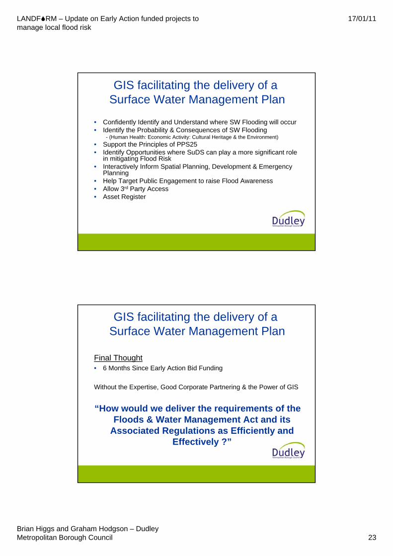
23Brian Higgs and Graham Hodgson – Dudley Metropolitan Borough Council
GIS facilitating the delivery of aSurface Water Management Plan
• Confidently Identify and Understand where SW Flooding will occur• Identify the Probability & Consequences of SW Flooding
- (Human Health: Economic Activity: Cultural Heritage & the Environment)• Support the Principles of PPS25 • Identify Opportunities where SuDS can play a more significant role
in mitigating Flood Risk• Interactively Inform Spatial Planning, Development & Emergency
Planning• Help Target Public Engagement to raise Flood Awareness• Allow 3rd Party Access • Asset Register
GIS facilitating the delivery of aSurface Water Management Plan
Final Thought• 6 Months Since Early Action Bid Funding
Without the Expertise, Good Corporate Partnering & the Power of GIS
“How would we deliver the requirements of the Floods & Water Management Act and its
Associated Regulations as Efficiently and Effectively ?”

LANDF RM – Update on Early Action funded projects to manage local flood risk
17/01/11
24Brian Higgs and Graham Hodgson – Dudley Metropolitan Borough Council
Thank you for your attention
Contact details:[email protected]@dudley.gov.uk