Embed Size (px)
Citation preview

Geography in the Middle Ages
• China continues to be far ahead of Christian Europe
• Geography a vehicle for Christian propaganda in Europe
• Muslim translation of Greek works
• The Norse sailing to Iceland, Greenland, North America

Ancient Influences on Medieval Geography
• Plato (428 - 348 BCE)
• Aristotle (384 - 322 BCE)– climatic zones
• Ptolemy (85 - 165 CE)– geocentric model of the universe

Contemporary Influences
• Isidore of Seville (560-636)
• Environmental Determinist
• Albertus Magnus (1193-1280)
• Astrology & Environmental Determinism

The Deterioration of Mapping
• 1493 T - O Map • Translation
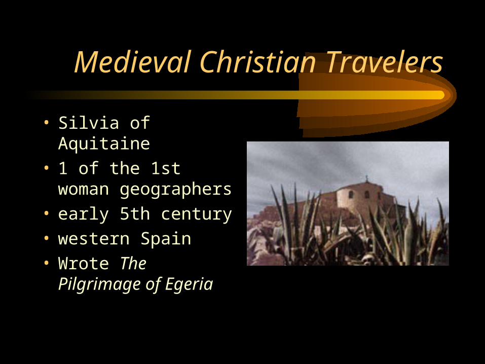
Medieval Christian Travelers
• Silvia of Aquitaine• 1 of the 1st woman
geographers• early 5th century• western Spain• Wrote The Pilgrimage
of Egeria

The Crusades
• 8 separate crusades between 1096 & 1270
• Extensive travel over sea & land from all parts of Europe to the Holy Land
• Popular description & travel was geography

Marco Polo
• 2 brothers & a son– Nicolo & Marco
– Maffeo
• Traders, not Geographers
• 1271 - 1295• To China by land• To Venice by sea

The Polo’s Journey
Bright Spots in Medieval Geography
• William of Conches (1080-1154)– philosopher & theologian
– translated Arabic work
– modern ideas concerning• heating of the atmosphere from below
• formation of clouds by cooling air
• Robert Grosseteste, Bishop of Lincoln (1175-1253)– also an Arabic speaker
– refuted Aristotle’s climatic zones
– taught Roger Bacon

Petrus Roselli, 1466, Majorca

Portolan Charts
• From “portolani”– pilots or rutters
• Portolan chart– network of lines
– coastlines
– place names
– scale of distance
– compass
– shoals, reefs, islands
• List of – places
– distances
– directions
– conditions at sea
– port dangers
– safe anchorages

Albino de Canepa, 1489, Genoa

Olaus Magnus, 16th century1st large scale map of a European Region