Embed Size (px)
Citation preview

Travis RobinsonEmail: [email protected]: (404) 255-3881
Major & Arroll, LLC91 West Wieuca RoadBuilding B, Suite 100Atlanta, Georgia 30342Fax: (404) 250-9613
PRESENTED BY:
Information contained herein has been obtained from the owner of the property or from other sources we deem reliable. We have no reason to doubt its accuracy but cannot guarantee that it is correct.
SUBJECTPROPERY
I-20
I-285 I-75
78
5
278
• Location: The property is located on the south side of Wisteria Drive. Wisteria Drive is directly off of Floyd Road to the South of the East West Connector.
• Schools: Mableton Elementary, Floyd Middle, South Cobb High
• Lot Size: Typical Lot 50’
• Zoning: RA-5 Cobb County
• Asking Price: $125,000.00 $100,000.00
PROPERTY HIGHLIGHTS
COMMENTSThis bank owned opportunity consists 9.54 acres zoned for 33 detached single family homes. The property is located just to the south of the East-West Connector.
FOR SALE 9.54 ACRESCOBB COUNTY, GA

LOCATION MAP

LOCATION MAP

AERIAL

Tax Plat
This map is a user generated static output from an Internet mapping site and is for generalreference only. Data layers that appear on this map may or may not be accurate, current, orotherwise reliable. THIS MAP IS NOT TO BE USED FOR NAVIGATION. Scale: 1:1,850
Map center: 33° 50' 40.1" N, 84° 35' 14.6" W
TAX PLAT

Zoning
This map is a user generated static output from an Internet mapping site and is for generalreference only. Data layers that appear on this map may or may not be accurate, current, orotherwise reliable. THIS MAP IS NOT TO BE USED FOR NAVIGATION. Scale: 1:1,850
Map center: 33° 50' 40.2" N, 84° 35' 14.9" W
ZONING PLAT

ZONING

ZONING

SITE PLAN

ZONING

ZONING

ZONING

ZONING
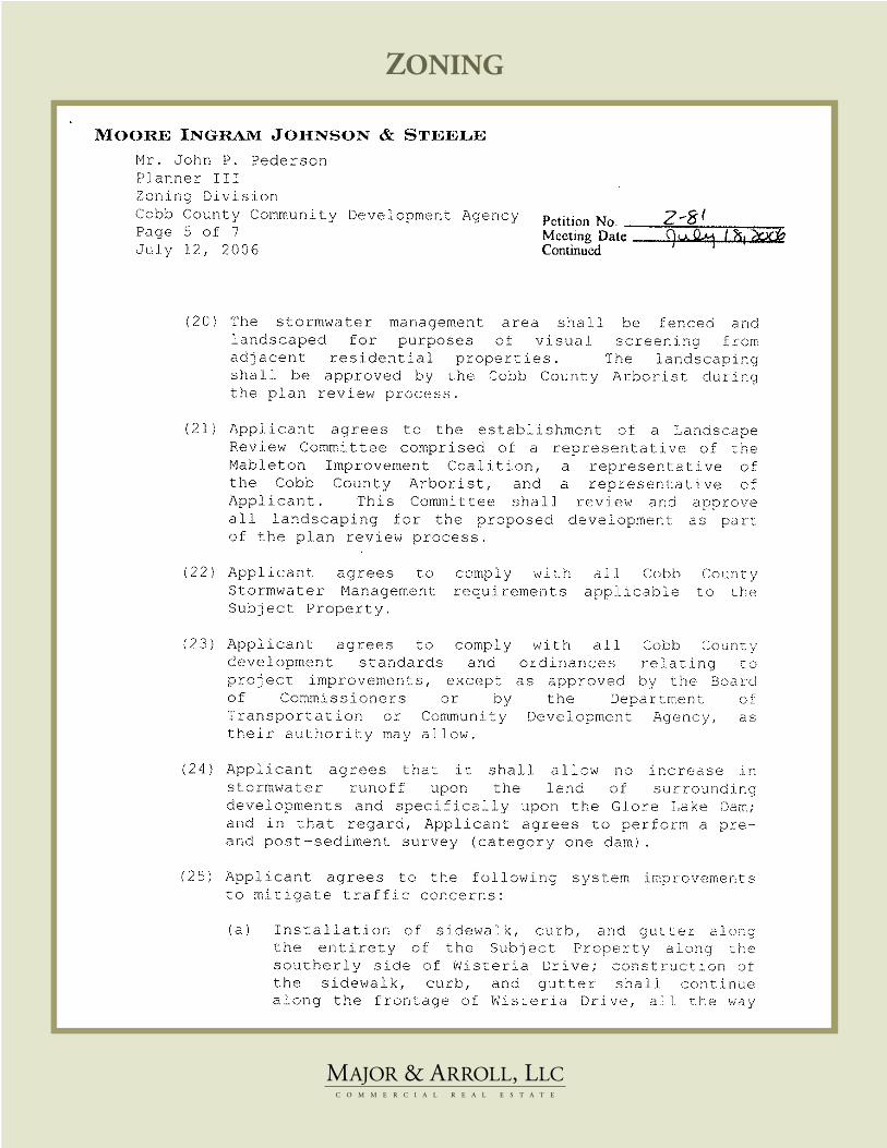
ZONING

ZONING

PHOTOGRAPHY


![APPENDIX B Math Handbook Math Handbook - …glencoe.mheducation.com/.../179000/math_handbook.pdfThus, [H ] antilog( 9.54) 10 9.54 100.46 ( 10) 100.46 10 10 2.9 10 10M Check the instruction](https://img.dokumen.tips/doc/110x75/5ae560237f8b9aee078b7387/appendix-b-math-handbook-math-handbook-h-antilog-954-10-954-10046.jpg)