Embed Size (px)
Citation preview

Fantasy Flight- lesson 2Step 3 Mark your journey
- Mrs Zeng

• Get your plan sheet ready• Read the step 3 “Mark your journey” planning
sheet and highlight the key information. • Analyze the text and orally discuss what math
skills we need to complete this task.
Check : Find clues in the next page.
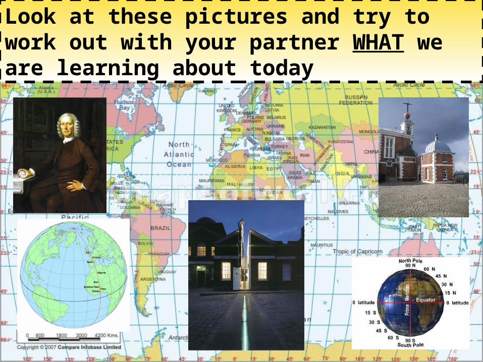
Look at these pictures and try to work out with your partner WHAT we are learning about today

Objectives what we need to achieve to complete step 3
• In this lesson, we are going to understand the concepts of longitude and latitude.
• We are going to learn how to find a given location by using longitude and latitude.

Tasks to do to achieve the objectives
• 1. Complete a self tutorial program as a group
• 2. Complete some drilling (practice) activities as a group or individually (Follow the activity instructions please)
• 3. Complete part of the unit assessment individually: world map outline

Assessment for lesson 2• Find the latitude and longitude of your chosen cities. Example 7.1
• Work individually, complete BLM 7.1 – World map outline, with the route between four major cities and the starting point clearly marked, with coordinates.
Example 7.2


Guided self-learning tutorial
• Introduction: - Look at a world atlas- What do I know about longitude and latitude?
Discuss orally in groups.- Can I use longitude and latitude to locate a
place? play a little game called Treasure Hunt to decide

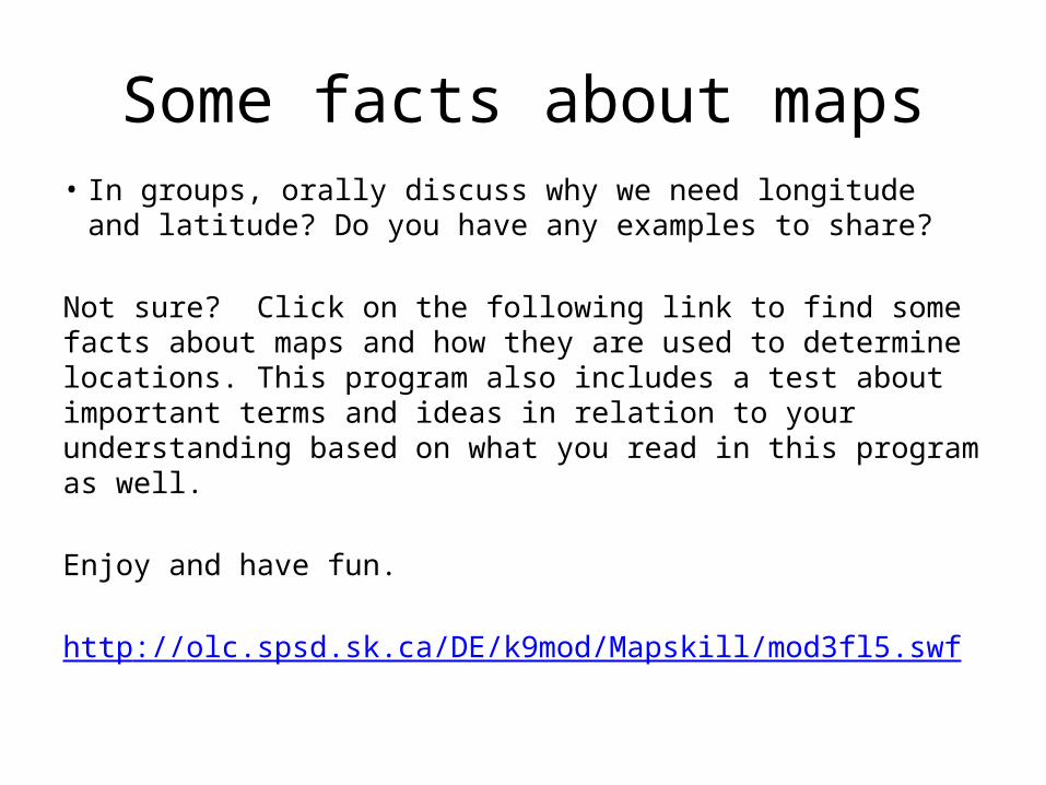
Some facts about maps• In groups, orally discuss why we need longitude and latitude?
Do you have any examples to share?
Not sure? Click on the following link to find some facts about maps and how they are used to determine locations. This program also includes a test about important terms and ideas in relation to your understanding based on what you read in this program as well.
Enjoy and have fun.
http://olc.spsd.sk.ca/DE/k9mod/Mapskill/mod3fl5.swf

LATITUDE
Lines
Around the earth!
LONGITUDE
Lines Over the top of the earth!
Longitude & Latitude song
- to know what the lines of latitude and longitude are

- to know what the lines of latitude and longitude are- to understand how they are used
Longitude & Latitude
Longitude & latitude - animation

Task: self assessment Use the word bank at the bottom to help structure your answer. THE WORDS ARE NOT IN THE RIGHT ORDER AND YOU DON’T NEED TO USE ALL OF THEM!
“Describe what the lines of latitude and longitude are”
Checklist:- What the lines are- Which one is which- What the lines are used formeasure | divide | East and West | North and
South | imaginary | position | location | latitude | longitude | around | over | maps | globe | angular
Self-check- Possible Description

“Describe what the lines of latitude and longitude are”
- Lines of latitude and longitude are imaginary lines that you see on maps. - They divide the world up so you can give
an exact location. - Latitude lines run from East to West (like
the equator), and tell you how far North and South you are
- Longitude lines go from North to South (like the Greenwich Meridian) and tell you how far East or West you are. They measure the angular position in degrees.

Drilling time
• (optional) We can go back to Treasure Hunt game again if you would like to check your improvement.
• More practice: Complete MG14 Latitude and Longitude from Student Book individually and check the answers.

• Time to complete your assessment
You will need to read : - slide 6- rubic sheet – read related criteria ONLY You will also need: BLM 7.1
Time to hand it in: (we will discuss this as a class and please fill it in after the discussion) ___________________


![[Fantasy flight games]_fireborn_the_roleplaying_g(bookos.org)](https://img.dokumen.tips/doc/110x75/55b97c8fbb61eb0b0e8b4573/fantasy-flight-gamesfireborntheroleplayinggbookosorg.jpg)
