Embed Size (px)
Citation preview

atcllc.com
Encroachments – A GIS/SharePoint Solution
Aaron Hartman & Sara Hackbarth

atcllc.com 2
• ATC Introduction – Who we are – geography – history – Organization – GIS
• Encroachments – Definitions – Past workflows – Justification for change
• eTRAILS – Development and technical details – Demonstration – New workflow – Future – Benefits
ATC – Agenda
atcllc.com 3
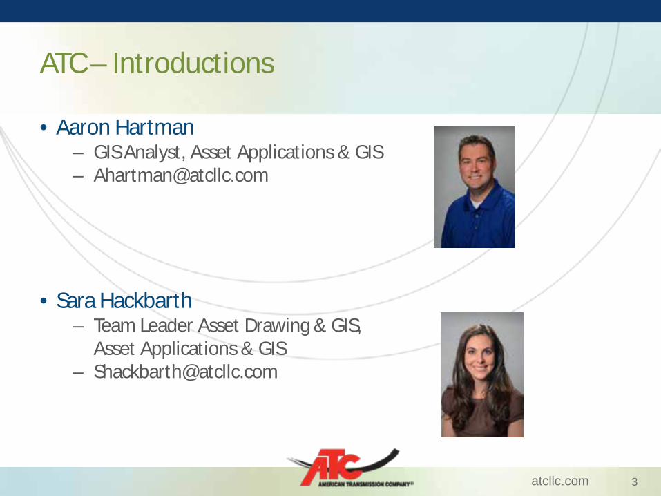
• Aaron Hartman – GIS Analyst, Asset Applications & GIS – [email protected]
• Sara Hackbarth
– Team Leader Asset Drawing & GIS, Asset Applications & GIS
ATC – Introductions

atcllc.com 4
• Owner and operator of 9,482 miles of transmission line and 529 substations
• Grew from $550 million in assets in 2001 to $3.3 billion
• Transmission Customers: WE Energies, Alliant, MG&E, WPS, Energy Cooperatives
• Footprint: WI, UP, IL – present in over 65 counties
ATC – Who are We/Where we are

atcllc.com 5
ATC – History • Founded in 2001, • First multi-state, transmission-only utility in the United States • Single focus: transmission • Cooperation between multiple owners • Management

atcllc.com 6
ATC - GIS
Asset Management & Projects
Corporate IT
System Operations
Land Management
& Stakeholder
Affairs
EMS Operational control
Real-time communication with LDCs
Oracle Business Intelligence System architecture
Comprehensive IT support
ROW easements Encroachments Environmental
Stakeholder relations
GIS SELD
PLS-CADD data Cascade
Asset records Vegetation management
atcllc.com 7
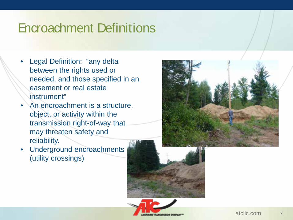
Encroachment Definitions
• Legal Definition: “any delta between the rights used or needed, and those specified in an easement or real estate instrument”
• An encroachment is a structure, object, or activity within the transmission right-of-way that may threaten safety and reliability.
• Underground encroachments (utility crossings)

atcllc.com 8
Encroachment Examples

atcllc.com 9
Encroachment Examples

atcllc.com 10
Encroachment Examples

atcllc.com 11
Encroachment Examples

atcllc.com 12
• BASIS - Real Estate tracking solution • Excel and hard copy – Transmission Line • LIDAR – clearance violations identified
Encroachments – Historic Workflow

atcllc.com 13
• To increase the focus, promote consistency and implement best practices for the ATC’s encroachment programs.
Justification and Development of eTRAILS

atcllc.com 14
eTRAILS – Nuts and Bolts
Encroachment Location
• Spatial Join • Hyperlink to Folder Directory
Sec/Twn/Rng County Municipality
ArcSDE
Add-on to Silverlight
ATC ArcGIS Server-Geocortex Silverlight Viewer
Sec/Twn/Rng County Municipality
Folder Directory Properties
Encroachments

atcllc.com 15
eTRAILS – New Workflow
Encroachment Identified
• Field Reports • Outside Request
• Real Estate • Tline Services • Project Engineering
Sharepoint Directory Created
• Encroachment ID • Line Name • Encroachment Type
• Year • Voltage • Comments
Documents Added to Sharepoint
Directory
• Project Maps • Emails/Letters • Other Docs
• PDF • JPG

atcllc.com 16
eTRAILS – New Workflow
Encroachment Area Identified on
Map
• Encroachment ID • Stored as Feature
Class in SDE
• Section/Town/Range • County • Municipality
Encroachment Can Be
Evaluated
• Accessed by Stakeholders • Searchable • Spatial • Document Management • Dynamic

atcllc.com 17
• eTRAILS
• GIS Viewer
A quick look at eTRAILS

atcllc.com 18
• SharePoint/GIS integration • Definitions vary • Work in progress • Cultural acceptance • Game Changer • Collaboration
eTRAILS – Lessons Learned

atcllc.com 19
• Expand usage to – other stakeholders, including real estate – Evaluate and implement mobility
• Implement “flavors” to address DOT workflows • Tackle historic easements for better context and decision
making
eTRAILS – The Future

atcllc.com 20
eTRAILS – Wrap Up
• Q&A • Please contact us!