Embed Size (px)
Citation preview
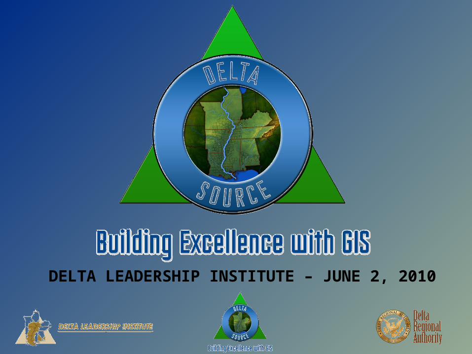
DELTA LEADERSHIP INSTITUTE – JUNE 2, 2010
DELTA SOURCEBUILDING EXCELLENCE WITH GIS
WHAT IS GIS?
GIS is a Geographic Information System.
GIS integrates hardware, software, and data for capturing, managing, analyzing, and displaying all forms of geographically referenced information.
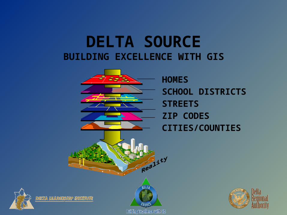
DELTA SOURCEBUILDING EXCELLENCE WITH GIS
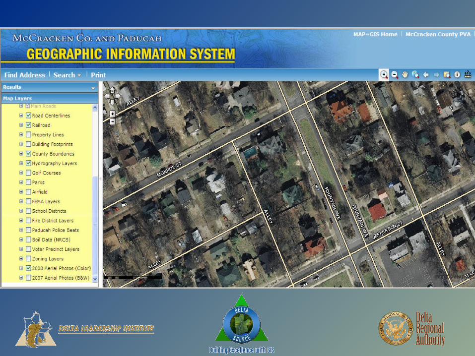
HOMESSCHOOL DISTRICTSSTREETSZIP CODESCITIES/COUNTIES
DELTA SOURCEBUILDING EXCELLENCE WITH GIS
• GIS identified in the iDelta report as a goal for DRA:
“All Local Development Districts (LDDs) in the DRA region will use GIS systems to support the DRA’s regional initiatives in health, transportation, economic and community development, homeland security, disaster pre-event planning and recovery, and other areas. “

DELTA SOURCEBUILDING EXCELLENCE WITH GIS
• Identify resources, roadblocks (and how to overcome them), planning tools, and goals/outcomes for GIS
• Develop a model and framework for local governments and governmental agencies to use for investigating, developing and deploying GIS on the local level
• Build enthusiasm for GIS among local officials to encourage deployment and usage

DELTA SOURCEBUILDING EXCELLENCE WITH GIS
• Identify resources, roadblocks (and how to overcome them), planning tools, and goals/outcomes for GIS
• Existing GIS databases for the locality
• Existing data sets for the locality
• Possible GIS participants – and how to build coalitions among those participants
DELTA SOURCEBUILDING EXCELLENCE WITH GIS
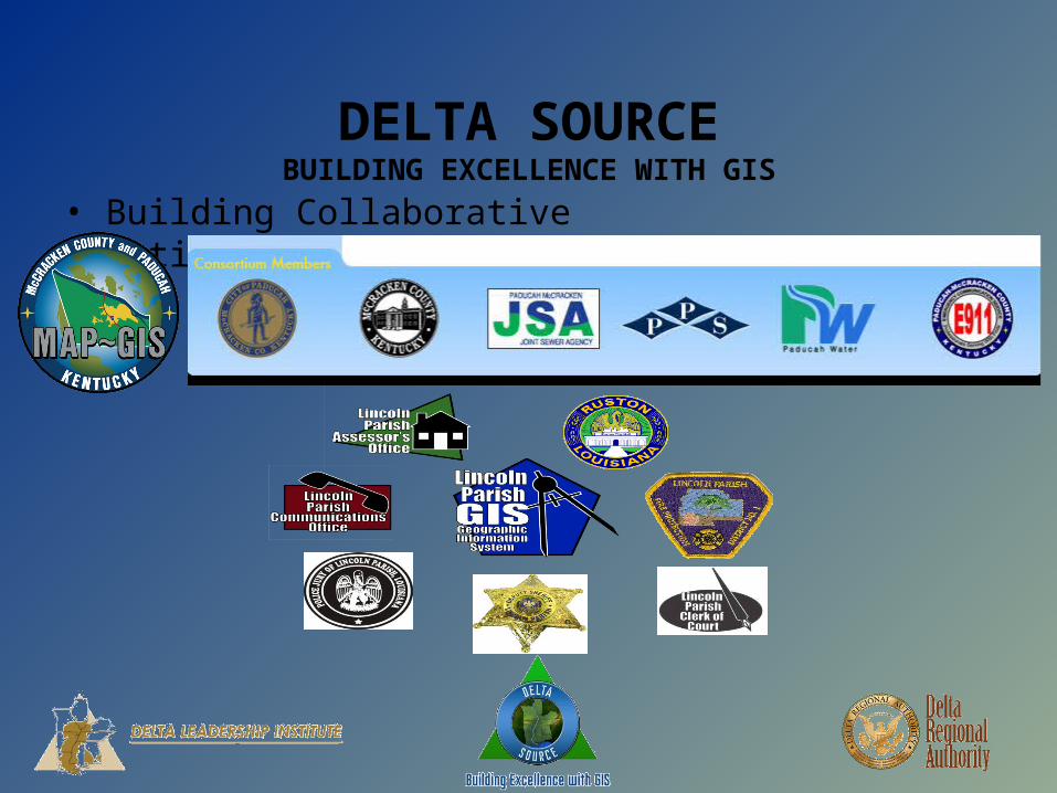
• Building Collaborative Relationships:
DELTA SOURCEBUILDING EXCELLENCE WITH GIS
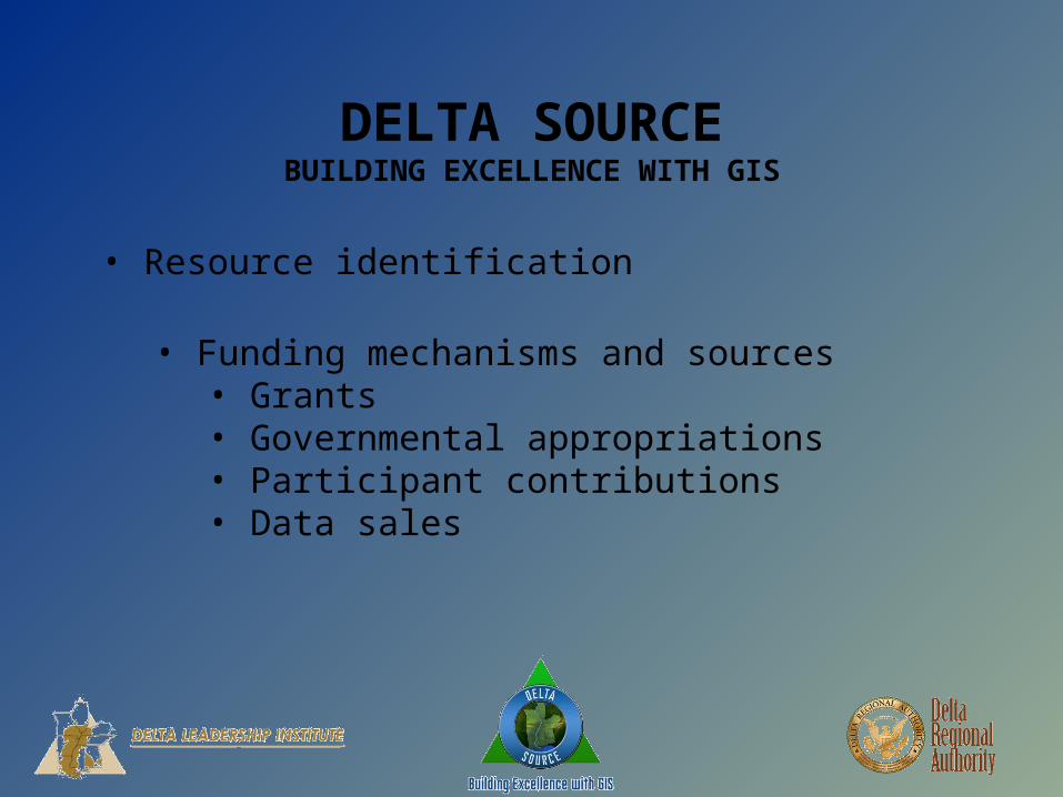
• Resource identification
• Funding mechanisms and sources• Grants• Governmental appropriations• Participant contributions• Data sales

DELTA SOURCEBUILDING EXCELLENCE WITH GIS
• Resource identification•www.esri.com/grants/about/funding_sources.html
DELTA SOURCEBUILDING EXCELLENCE WITH GIS
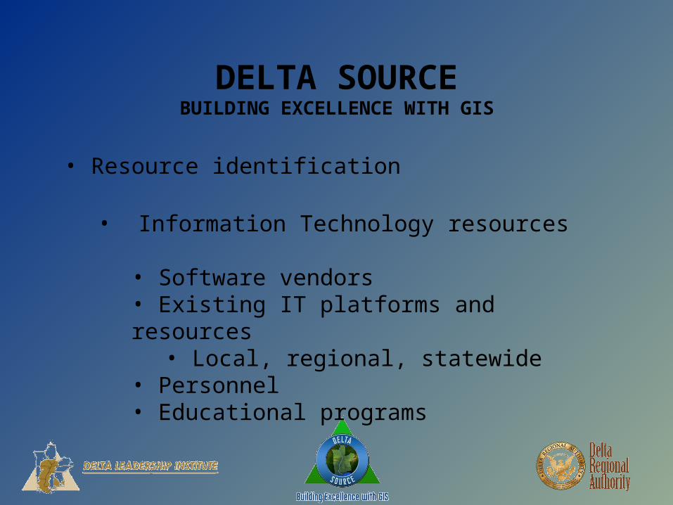
• Resource identification
• Information Technology resources
• Software vendors• Existing IT platforms and resources• Local, regional, statewide
• Personnel • Educational programs

DELTA SOURCEBUILDING EXCELLENCE WITH GIS
• Roadblocks
• Funding• Inter-agency squabbling• The “Not In My Sandbox” problem• “I paid for it. It’s MINE.”
• Good, ole fashioned bureaucratic inertia• “We’ve always done it this way” • “Bob knows everything”
DELTA SOURCEBUILDING EXCELLENCE WITH GIS
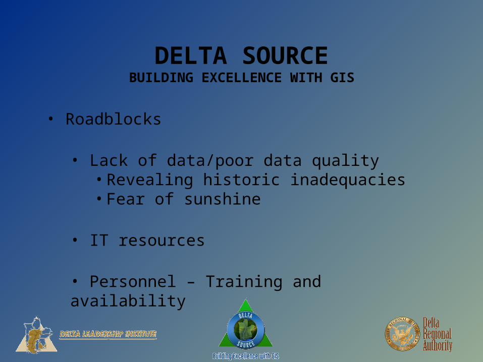
• Roadblocks
• Lack of data/poor data quality• Revealing historic inadequacies• Fear of sunshine
• IT resources
• Personnel – Training and availability
DELTA SOURCEBUILDING EXCELLENCE WITH GIS
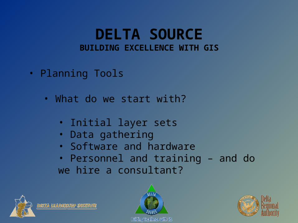
• Planning Tools
• What do we start with?
• Initial layer sets• Data gathering• Software and hardware• Personnel and training – and do we hire a consultant?
DELTA SOURCEBUILDING EXCELLENCE WITH GIS
• Planning Tools
• Next steps . . .
• Additional layers• Data gathering challenges• Maintaining momentum• Employee buy-in
DELTA SOURCEBUILDING EXCELLENCE WITH GIS
• Planning Tools
• Deployment
• Accessability• Inter agency interoperability• Employee access/Public Access
• Updating data• Who, how, and how often
DELTA SOURCEBUILDING EXCELLENCE WITH GIS
• Goals/Outcomes
• Inter-agency availability• Locally• Regionally• State and beyond• DELTA WIDE !!!
• Cost reductions

DELTA SOURCEBUILDING EXCELLENCE WITH GIS
• Goals/Outcomes
• Public availability• Web-based service• Metadata access• Database charges• Access charges
• Long-term sustainability

DELTA SOURCEBUILDING EXCELLENCE WITH GIS
• Develop a model and framework for local governments and governmental agencies to use for investigating, developing and deploying GIS on the local level
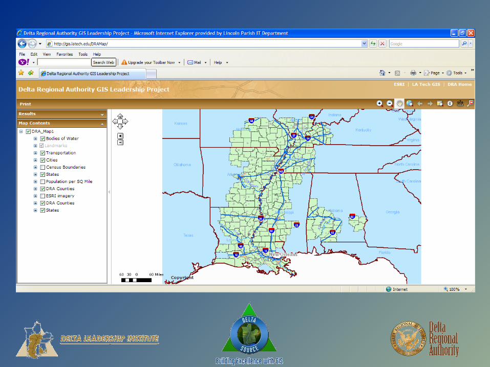
• Creation of a model GIS framework
• Build a base data set for deployment throughout the Delta
•http://gis.latech.edu/DRAMap/
DELTA SOURCEBUILDING EXCELLENCE WITH GIS
• Special thanks to:
•Wes Palmer, Geographic Information Science instructor, Louisiana Tech University
• Kyle Wyatt, Student Intern, Louisiana Tech University

DELTA SOURCEBUILDING EXCELLENCE WITH GIS
• Build enthusiasm for GIS among local officials to encourage deployment and usage
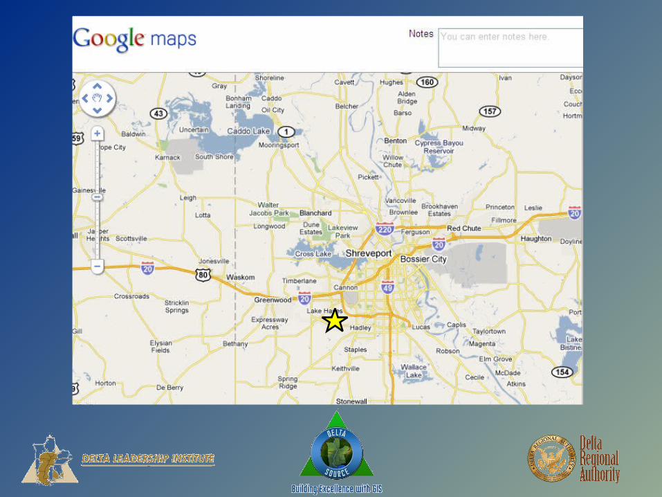
• Or, what can you do with these fancy pictures?

DELTA SOURCEBUILDING EXCELLENCE WITH GIS
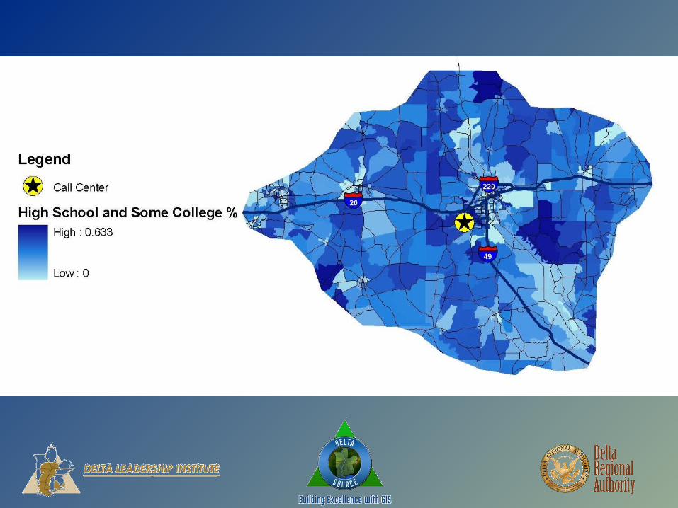
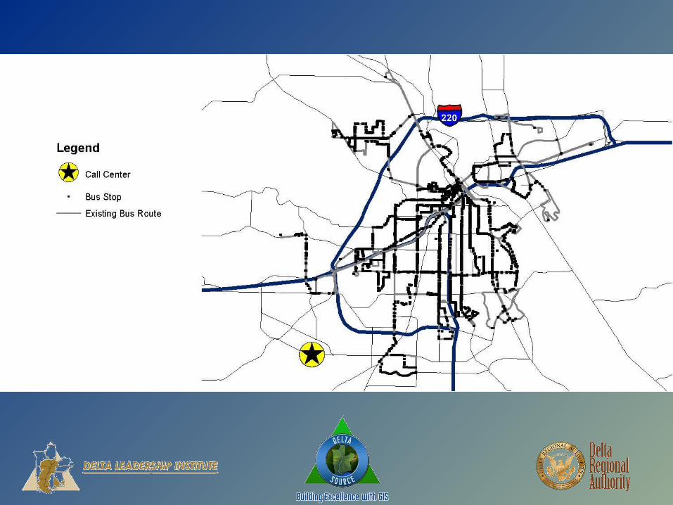
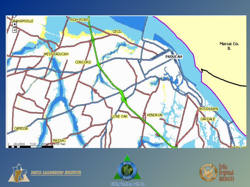
• Economic Development
•Site Selection•Utility availability•Land use availability (zoning, etc.)
•Workforce Identification•Transportation Resources
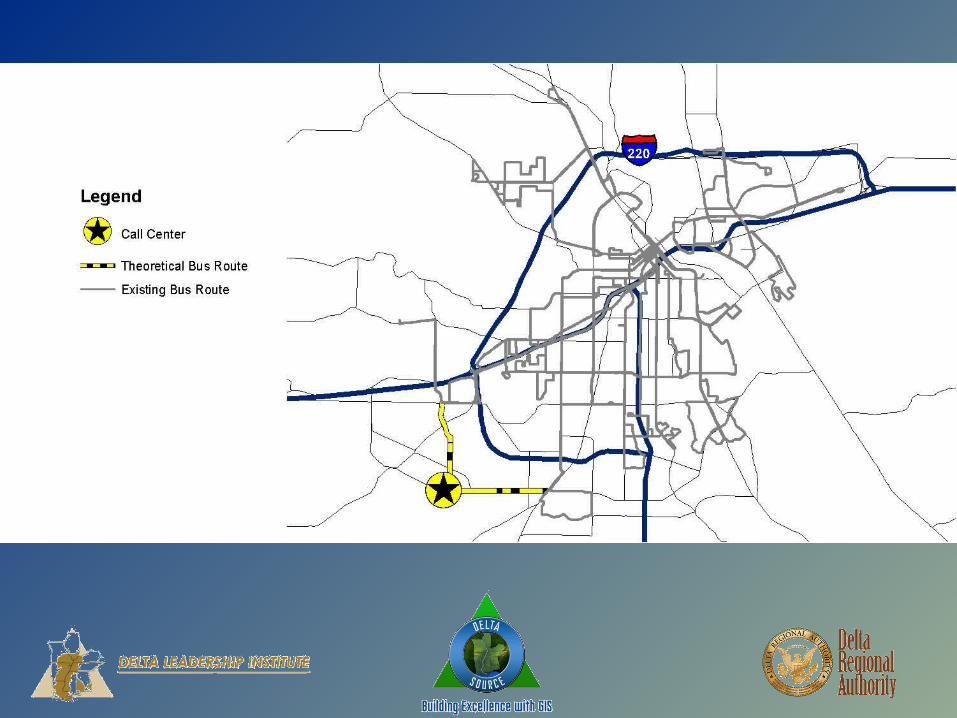
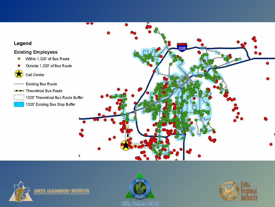
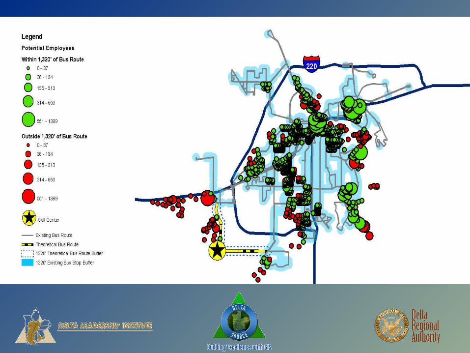
DELTA SOURCEBUILDING EXCELLENCE WITH GIS
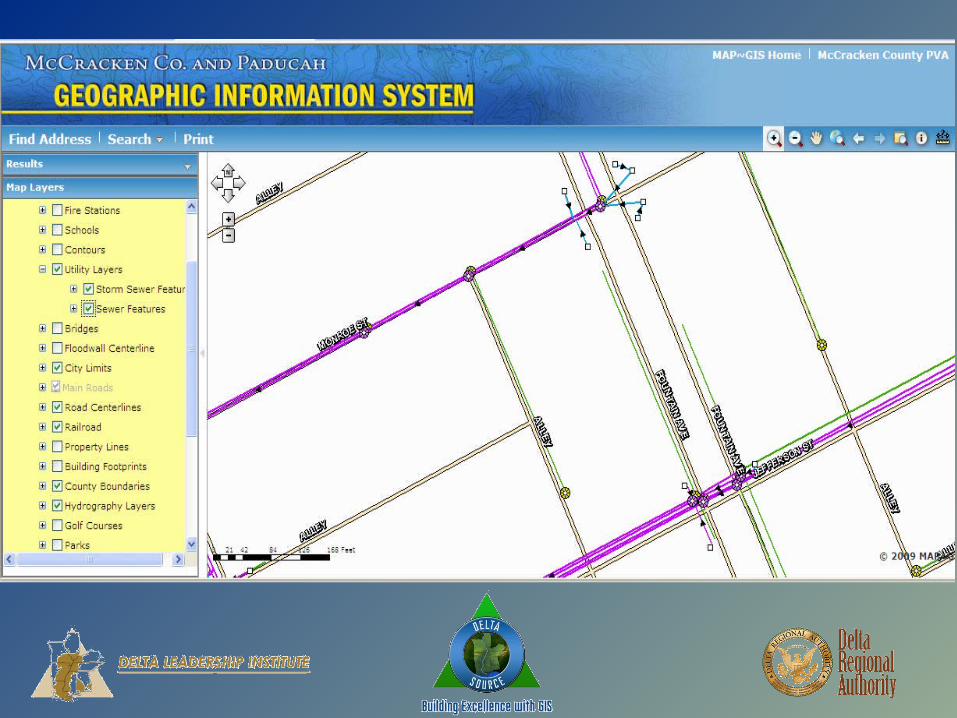
• Utility usage and planning
• What are existing routes?
• Expansion planning
• Correcting outages
• Infrastructure maintenance and replacement


DELTA SOURCEBUILDING EXCELLENCE WITH GIS
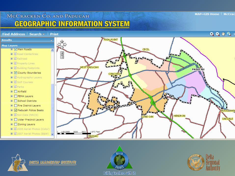
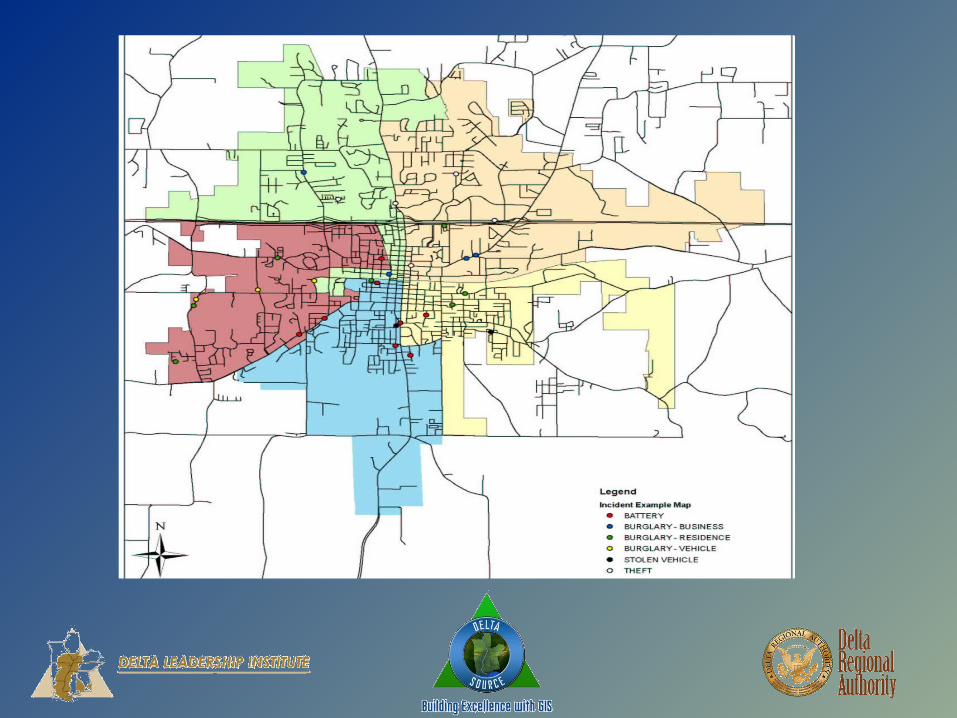
• Crime analysis and community policing
• Mapping of crime trends
• Planning of police routes and schedules
• Information for property access

DELTA SOURCEBUILDING EXCELLENCE WITH GIS
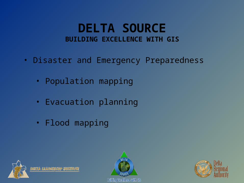
• Disaster and Emergency Preparedness
• Population mapping
• Evacuation planning
• Flood mapping


DELTA SOURCEBUILDING EXCELLENCE WITH GIS
• Identify resources, roadblocks (and how to overcome them), planning tools, and goals/outcomes for GIS
• Develop a model and framework for local governments and governmental agencies to use for investigating, developing and deploying GIS on the local level
• Build enthusiasm for GIS among local officials to encourage deployment and usage
•Where do we go from here; i.e, how do we implement the recommendations of iDelta?
DELTA SOURCEBUILDING EXCELLENCE WITH GIS
• Build enthusiasm for GIS among local officials to encourage deployment and usage
• Obtain buy-in from local officials and staff
•GIS video demonstration using a variation of the skit you saw today• Web delivered• Jump drive mailed to local officials• Local government conferences

DELTA SOURCEBUILDING EXCELLENCE WITH GIS
•DRA-wide GIS conference
• State GIS offices/staff• Local GIS offices/staff• Local officials who want GIS• Software companies• Grant funders
DELTA SOURCEBUILDING EXCELLENCE WITH GIS
•Goals for DRA-wide GIS conference
• Demonstrate how to start with GIS• Educate about uses for GIS• Provide advanced education for existing GIS users• Build collaborative relationships among state and local officials
QUESTIONS?
DELTA SOURCEBUILDING EXCELLENCE WITH GIS
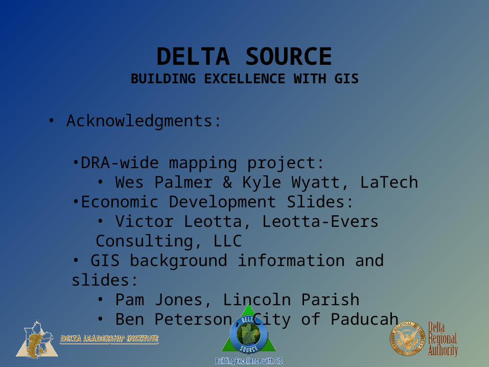
• Acknowledgments:
•DRA-wide mapping project:• Wes Palmer & Kyle Wyatt, LaTech
•Economic Development Slides:• Victor Leotta, Leotta-Evers Consulting, LLC
• GIS background information and slides:• Pam Jones, Lincoln Parish • Ben Peterson, City of Paducah