Embed Size (px)
Citation preview

Danny MaasEmerging Technology ConsultantEdmonton Catholic School [email protected]
Danny MaasEmerging Technology ConsultantEdmonton Catholic School [email protected]
Using Google Earth in the Science Classroom

Guiding Principles
Science Program of Studies
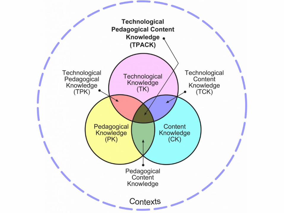
TPACK
UDL

Science Program of Studies - Elementary
Children’s curiosity provides a natural starting point for learning
Children’s learning builds on what they currently know and can do
Communication is essential for science learning
Students learn best when they are challenged and actively involved
Confidence and self-reliance are important outcomes of learning

Science Program of Studies – Junior High

Senior High Science Programs Vision Statement
The senior high science programs place an increased emphasis on developing methods of inquiry that characterize the study of science. For example, students will further their ability to ask questions, investigate and experiment; gather, analyze and assess scientific information; and test scientific principles and their applications. They will develop their problem-solving ability and use technology. By providing students with opportunities to develop and apply these skills, they will better understand the knowledge they have acquired.
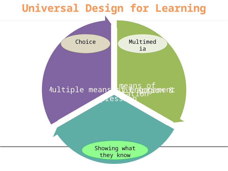
Universal Design for Learning
Multiple means of
representation
Multiple means of action & expression
Multiple means of
engagement
Multimedia
Showing what they know
Choice
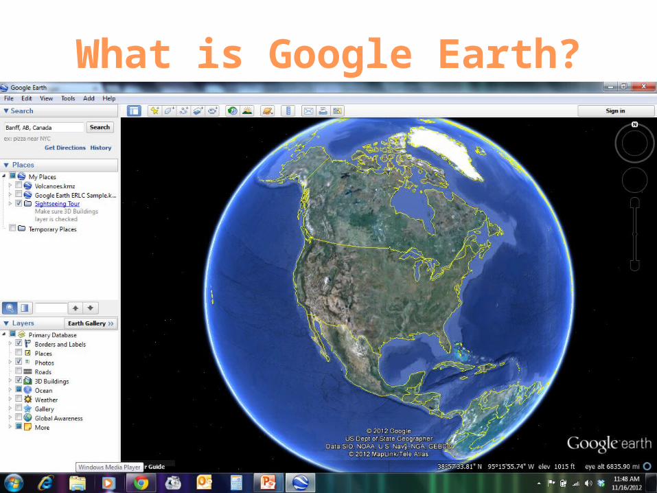
What is Google Earth?

Rationale for Using Google Earth
• Skill & Attitude Development
• Visual literacy
• Global awareness
• Geographic thinking
• Inquiry

IT’S DEMO TIME!

Science Applications - Teachers
Explore the world
Find pre-made lessons,
maps, and tours
Pose challenges or questions for investigation

Examples
Volcanoes
Ducks Unlimited http://maps.ducks.ca/google.html
Mars

Science Applications - StudentsCreate and
annotate their own
placemarks, paths, shapes
Create and record tours to
explain their understanding
and/or opinions
Augment their work with embedded media from
other web 2.0 sites

Map Creation & Annotation
Layers of information Add Placemarks Drawing Paths
& Polygons
Measuring Distances Directions Drawing Paths
& Polygons
Recording a Tour
Adding Web 2.0 Elements onto Google Earth
Exporting Items to a .KMZ file

Adding Placemarks
• Along the top toolbar, the Placemarks button looks like a yellow pushpin
• When Clicked, an untitled placemark will be placed onto the screen.
• Drag the placemark to the location you want.
• In the “New Placemark” window, add a name.
• Optionally, add a description or change the style & color.
• Clicking on the yellow pin icon can change the image represented
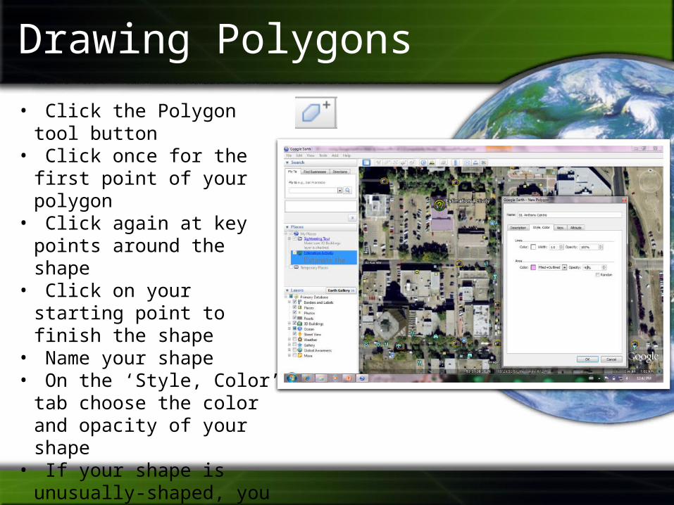
Drawing Polygons
• Click the Polygon tool button• Click once for the first point of
your polygon• Click again at key points
around the shape• Click on your starting point to
finish the shape• Name your shape• On the ‘Style, Color’ tab
choose the color and opacity of your shape
• If your shape is unusually-shaped, you can click and drag the entire path (versus clicking at key points only)

Drawing Paths
• Click the Path tool button• Click once for the first point
of your path• Click again at key points
around the path• Name your path• On the ‘Style, Color’ tab
choose the color and thickness of your path
• If your path is unusually-shaped, you can click and drag the entire path (versus clicking at key points only)
Recording a Tour
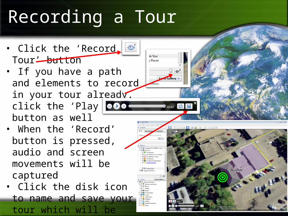
• Click the ‘Record a Tour’ button
• If you have a path and elements to record in your tour already, click the ‘Play Tour’ button as well
• When the ‘Record’ button is pressed, audio and screen movements will be captured
• Click the disk icon to name and save your tour which will be added to your ‘Places’ list

Measuring Distances
• Open “Ruler” tool• For a single line, choose ‘Line’ tab• For a path, choose ‘Path’ tab• Choose appropriate units• Click once to begin path• Click again at key points to
keep path going• Toward the end, click a point
near to your start point (youwon’t be able to click on theexact starting point)

Getting Directions
• In the search area, choose the ‘Directions’ tab
• Enter a start and end point• Click the ‘Search’ button
(magnifying glass)• Scroll down for the total
distance• Push the ‘Play Tour’
button to view the directionsas a Google Earth Tour

Adding Web 2.0 Elements
• Many web 2.0 tools offer an ‘embed’ feature to embed the multimedia onto other websites, blogs, etc. (E.g. YouTube, Animoto, Voki, etc.)
• To embed on Googe Earth, first add a placemark
• Copy the ‘embed’ HTML code from the web 2.0 website
• Paste the embed code into the description area of the placemark
• The next time you click on the placemark your web 2.0 element should display

Exporting Items to a .KMZ file• Any group of placemarks, polygons,
paths, and tours can be grouped together and saved as a single .KMZ file
• Right-click on My Places and choose “AddFolder” and name that folder
• Click/Drag all the items you want into the new folder
• Right-click the folder and choose “Save Place As”
• Name the .KMZ file and choose a save location

Find .KMZ Files on the Internet• Open Google and choose ‘Advanced Search’
• Enter your search term(s)• Look for ‘File type’ and select “Google
Earth KMZ or KML”

More Resourceshttp://www.google.com/earth/