Embed Size (px)
Citation preview

Connecting Live: The GIS + SAP Asset Management Bond
CRAIG LEES, YIMAN SONG
JULY, 2015

LOUDOUN WATER
72,000 customers
1,200 miles of water main
900 miles of sewer main
17 miles of reclaimed
water main
SQL Server 2008R2, ArcGIS
Desktop and Server 10.3
LOUDOUN WATER’S REQUIREMENTS
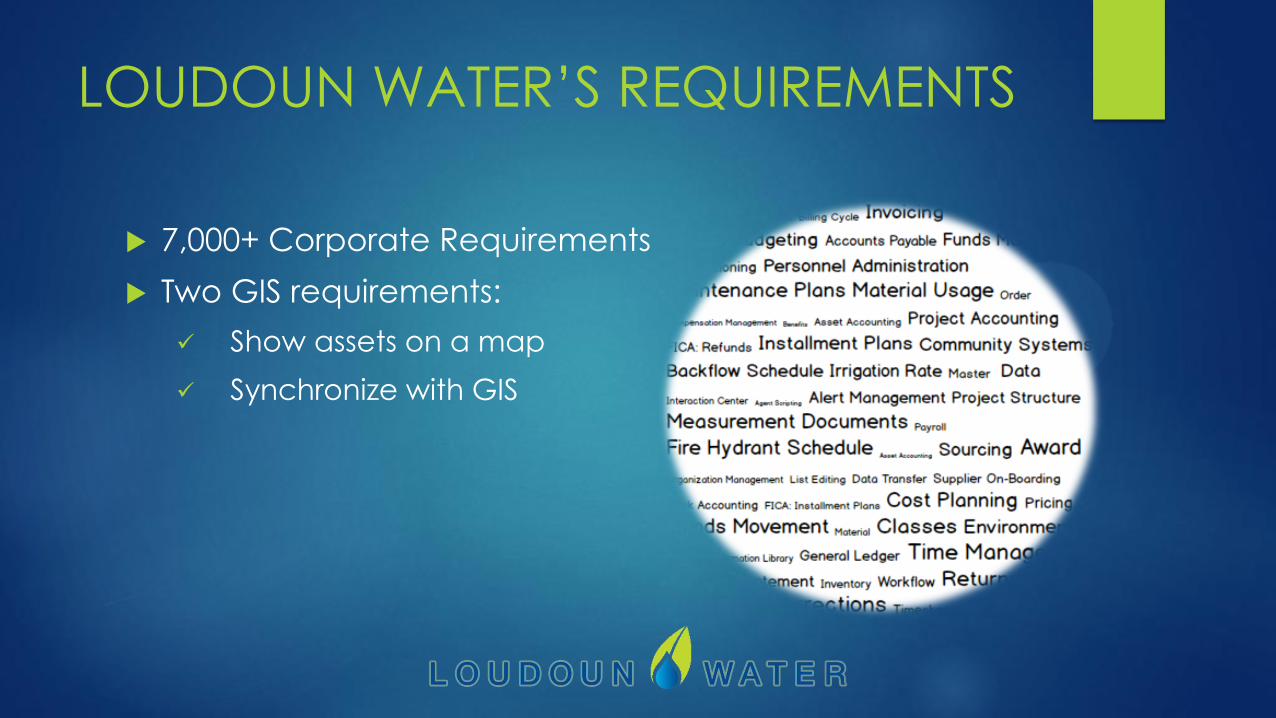
7,000+ Corporate Requirements
Two GIS requirements:
Show assets on a map
Synchronize with GIS

GEO.E
GEO.e is a group of function modules in SAP that adds
spatial attributes to SAP objects
GEO.e uses ArcGIS feature services to provide spatial
attributes to SAP
Demo

GIS + SAP SYNCHRONIZATION
GIS SAP GlobalID/OBJNR
ArcMap add-in JSON SAP message queue
SAP message queue
Feature service
Function module
Function module

DEM
O: G
IS +
SA
P
SY
NC
HR
ON
IZA
TION
WHAT THIS MEANS TO YOU
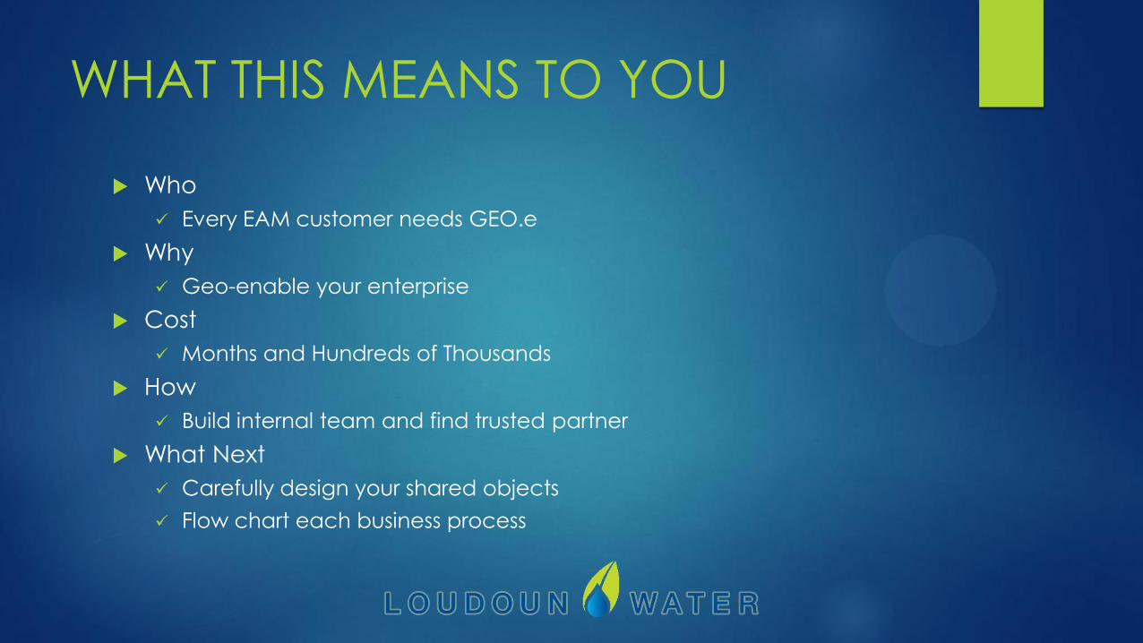
Who
Every EAM customer needs GEO.e
Why
Geo-enable your enterprise
Cost
Months and Hundreds of Thousands
How
Build internal team and find trusted partner
What Next
Carefully design your shared objects
Flow chart each business process

RETURN ON INVESTMENT
Geo-enabled enterprise through custom automation
All customers are mapped upon creation
All meters are mapped when set
All work orders are on the map
Core GIS assets and attributes are shared
QA: Delta report proves it’s right
Integration pays off
Tight: GIS creates objects for SAP to maintain
Loose: Reference layers, geocoder, base maps

KEY LEARNINGS
Start your business process with geography
Be flexible and patient. Embrace change.
Think about what you don’t want to do:
Addressing
Unique identifier in GIS
Duplicate effort
FUTURE
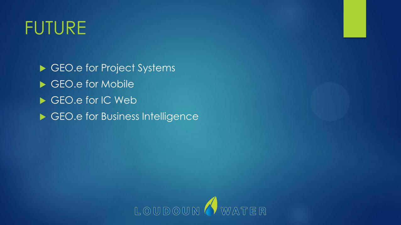
GEO.e for Project Systems
GEO.e for Mobile
GEO.e for IC Web
GEO.e for Business Intelligence

QUESTIONS?
THANK YOU!