Embed Size (px)
Citation preview

Collector for ArcGIS: Working with High
Accuracy DataKevin Burke
Colin Lawrence

Agenda
• Introduction
• Getting started
• Collector setup for high accuracy data collection
• Field data collection process
• Using offsets to capture features
• Additional Tools
• Q&A
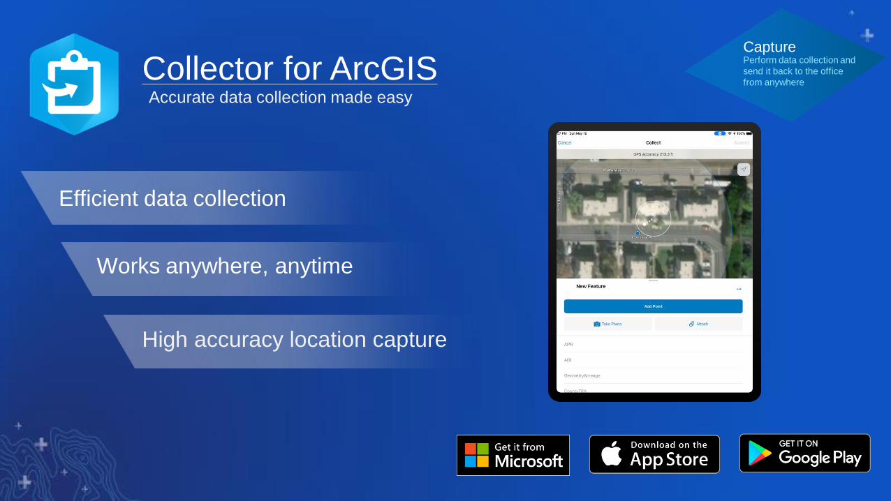
Collector for ArcGIS
Efficient data collection
High accuracy location capture
Works anywhere, anytime
Accurate data collection made easy
CapturePerform data collection and
send it back to the office
from anywhere

Collector| How is it being used?
•
Capture Observations
Perform Field Assessments
Collect and Maintain Asset Data

Collector| High Accuracy GPS
• Easy to use
• Efficient with processing on the fly
• Confident with GPS metadata fields for individual asset
City of Centennial and CH2M
Public Works Asset Collections Project RockTheAlps (RTA)
Rockfall location collectionsSeattle Zoo Infrastructure Mapping

Collector for ArcGIS | Control Points Use Cases (Drones)
Drones…
Control Points + Drone Flight Path + Orthomosaic
Collector + RTK

What’s new in Collector for ArcGIS
• Configure RTK settings directly within Collector for Trimble receivers (iOS only)
• Support for grid based transformations in the Location Profile
- Includes sideloading grid files onto the device directly or downloading the grid files from ArcGIS
Online
• Enhanced support for capturing elevations
- Z values stored with the feature geometry
- Capture orthometric heights with Eos Tools Pro app
- Visualize current GPS altitude inside the GPS details
• Improved UI for high accuracy workflows
- Improved user feedback when capturing outside required accuracy
- Visualize point cloud in the map during averaging workflow

Considerations for high accuracy data collection
Getting Started

Data Collection Considerations
• Project accuracy requirements
• Supported receivers
• Correction services
• GNSS Metadata
• Desired basemap for collection
• Datum transformations

Collector for ArcGIS| Lots of Receivers

Collector | Using Real-time Differential Corrections
• Improve accuracy from receiver
• Requires a subscription and connection*
• Optionally use 3rd party app to configure
• Need to understand your map’s projection
and apply a location profile accordingly

Collector | Using GNSS Metadata
• Stores the raw GNSS measurements from the GPS receiver.
• Useful for performing further data analysis and for performing
QA/QC on the field measurements
• Store up to 18 fields of GNSS metadata information (point
features only)
• Only applies to points created using your GPS location
• 4 of the 18 fields only apply when using Averaging to capture
point features
• The fields can be created several ways:
Record metadata fields
• Receiver Name
• Latitude
• Longitude
• Altitude (Height Above Ellipsoid)
• Fix time
• Horizontal Accuracy
• Vertical Accuracy
• PDOP
• HDOP
• VDOP
• Fix Type
• Correction Age
• Station ID
• Number of Satellites
• Average Horizontal Accuracy*
• Average Vertical Accuracy*
• Number of positions averaged*
• Standard Deviation*
*Only when using Averaging

Datum TransformationsMinimize when possible to maintain accuracy
DT1 – Defined in location profile
DT2 – Determined by basemap
DT3 – Determined by storage coordinate system
Web Layer GeodatabaseWeb Map
DT2 DT3DT1
Geographic Transformation Table

Datum TransformationsSpatial Reference Choice for Web Layer
• Null datum transformation for DT2
- Web Layer same as basemap
• Set datum transformation for DT2
- Set DT2 during publishing web layer

New High Accuracy Capabilities
Demo-Collector Setup

Collector | Location Provider
• Located in App Settings
• Support for
- Integrated receivers
- Bluetooth receivers
- Serial receivers on Windows
• Connect to named receiver
• Specify antenna height
iOS White Listed Providers:
• Trimble R1/R2
• Eos Positioning
• Geneq iSxBlue
• CHC
• Bad-Elf
• Aman NMEA-BT Adapter
• DualGPS
• Garmin GLO
• Leica GG04 Plus*

Collector | Location Provider
• Configure RTK corrections for Trimble
receivers directly in Collector (iOS ONLY)
• Accessible through the location provider
details

Collector | Location Profile
• Define the transformation used from receiver to map
- Integrated location sensor or external GNSS receiver
Input: Coordinate System used by GNSS receiver
correction service
- Always GCS (example: NAD_1983_2011)
Output: Coordinate System used by Web Map’s
BaseMap
- GCS or PCS
Method: Datum transformation selection
- Choices by map extent
- Grid-based transformations are supported (Custom
transformations not supported)
Name: Provide a memorable name for the profile

Collector | Location Accuracy and 95% CI
• User-defined accuracy value
- Match project accuracy requirements
• Specify in imperial or metric units
- Based on measurement units
• 95% Confidence Interval
- Required for some organizations
- Horizontal and vertical accuracies are
reported at higher confidence interval
- Default accuracy reporting uses RMS, which
is around 68% confidence interval

New High Accuracy Capabilities and Use Cases
Field Data Collection


Demo Recap
• GPS Details
- Useful for troubleshooting
• Basemap overzoom
- Zoom in beyond minimum scale range (resampled)
• GPS Metadata fields
- Auto-populate accuracy information to point features
- Based on well-known fields added to your Feature Layer
(points only)

Collector | Averaging

Collector | Incorrect Location Profile

Capture Features Using
Offsets

Offsets – getting started
• Hardware
- Eos GNSS receiver
- Laser rangefinder
- TruPulse 200x
- Angle encoder (optional)
- Tripod, bipod, or range pole (recommended)
• Software
- Collector for ArcGIS (iOS)
- Eos Tools Pro
• Three Methods
- Method 1 – Standard Laser Offset
- Method 2 – Range-Backsight Offset
- Method 3 – Range-Range Offset

Offset Method 2: Range-Backsight Offset
• Equipment
- GNSS receiver
- Laser range finder
- Angle Encoder
• Steps
1. Capture GNSS backsight point
2. Capture GNSS control point
3. From control point fire at backsight point
4. Fire the target
CPBP
N

Demo - Collect
locations using
GPS offsets

Additional Tools

Collector | ProjectZ Geoprocessing Tool
• Custom geoprocessing tool for ArcGIS Pro
• Built on top of existing Project tool
• Converts Latitude/Longitude/Altitude metadata values to a new z-
enabled feature class
• Supports vertical datum transformations to obtain orthometric
heights
• Requires the ArcGIS Coordinate Systems Data for ArcGIS Pro
• Maintains existing attachments for output feature class
• Download ArcGIS Pro toolbox from public GitHub repo

Other Resources
Technical workshops
- Coordinate Systems in ArcGIS – 7/11
- Deep Dive into Transformations – 7/11
- Integrating Laser Measurement Solutions with ArcGIS Mobile Apps – 7/11
Other resources
- Lining Up Data in ArcGIS: A Guide to Map Projections,Second Edition