Embed Size (px)
Citation preview
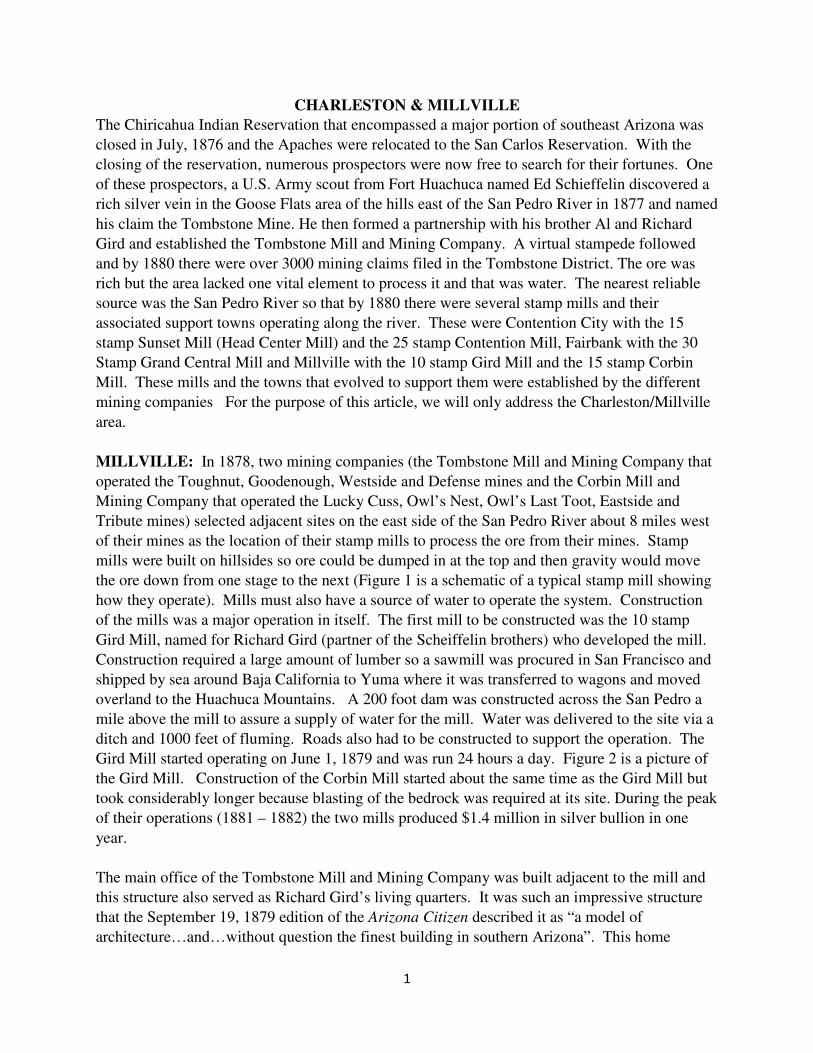
1
CHARLESTON & MILLVILLE
The Chiricahua Indian Reservation that encompassed a major portion of southeast Arizona was
closed in July, 1876 and the Apaches were relocated to the San Carlos Reservation. With the
closing of the reservation, numerous prospectors were now free to search for their fortunes. One
of these prospectors, a U.S. Army scout from Fort Huachuca named Ed Schieffelin discovered a
rich silver vein in the Goose Flats area of the hills east of the San Pedro River in 1877 and named
his claim the Tombstone Mine. He then formed a partnership with his brother Al and Richard
Gird and established the Tombstone Mill and Mining Company. A virtual stampede followed
and by 1880 there were over 3000 mining claims filed in the Tombstone District. The ore was
rich but the area lacked one vital element to process it and that was water. The nearest reliable
source was the San Pedro River so that by 1880 there were several stamp mills and their
associated support towns operating along the river. These were Contention City with the 15
stamp Sunset Mill (Head Center Mill) and the 25 stamp Contention Mill, Fairbank with the 30
Stamp Grand Central Mill and Millville with the 10 stamp Gird Mill and the 15 stamp Corbin
Mill. These mills and the towns that evolved to support them were established by the different
mining companies For the purpose of this article, we will only address the Charleston/Millville
area.
MILLVILLE: In 1878, two mining companies (the Tombstone Mill and Mining Company that
operated the Toughnut, Goodenough, Westside and Defense mines and the Corbin Mill and
Mining Company that operated the Lucky Cuss, Owl’s Nest, Owl’s Last Toot, Eastside and
Tribute mines) selected adjacent sites on the east side of the San Pedro River about 8 miles west
of their mines as the location of their stamp mills to process the ore from their mines. Stamp
mills were built on hillsides so ore could be dumped in at the top and then gravity would move
the ore down from one stage to the next (Figure 1 is a schematic of a typical stamp mill showing
how they operate). Mills must also have a source of water to operate the system. Construction
of the mills was a major operation in itself. The first mill to be constructed was the 10 stamp
Gird Mill, named for Richard Gird (partner of the Scheiffelin brothers) who developed the mill.
Construction required a large amount of lumber so a sawmill was procured in San Francisco and
shipped by sea around Baja California to Yuma where it was transferred to wagons and moved
overland to the Huachuca Mountains. A 200 foot dam was constructed across the San Pedro a
mile above the mill to assure a supply of water for the mill. Water was delivered to the site via a
ditch and 1000 feet of fluming. Roads also had to be constructed to support the operation. The
Gird Mill started operating on June 1, 1879 and was run 24 hours a day. Figure 2 is a picture of
the Gird Mill. Construction of the Corbin Mill started about the same time as the Gird Mill but
took considerably longer because blasting of the bedrock was required at its site. During the peak
of their operations (1881 – 1882) the two mills produced $1.4 million in silver bullion in one
year.
The main office of the Tombstone Mill and Mining Company was built adjacent to the mill and
this structure also served as Richard Gird’s living quarters. It was such an impressive structure
that the September 19, 1879 edition of the Arizona Citizen described it as “a model of
architecture…and…without question the finest building in southern Arizona”. This home

2
became the center of all social events in Millville and Charleston. The home is the structure in
the upper right corner of Figure 2 The workers constructing the mills initially also established
themselves in Millville but its development was soon stunted by the growth of its new neighbor,
Charleston and Girds policy of not allowing alcohol in Millville. Millville opened a post office
on May 26 1879 but it only stayed open a year when it became clear that Charleston would
become the primary residence of the workers.
CHARLESTON: The construction of the mills caught the interest of Amos W. Stowe who
recognized the business opportunities associated with the mills in Millville. On October 28,
1878 he recorded a claim under the Homestead Act for 160 acres directly across the San Pedro
River from Milltown. These claims are supposed to be for agricultural and grazing use but
Stowe had bigger ideas. He immediately had the claim surveyed and quickly plotted out a town
site consisting of 24 blocks with each block divided into 16 lots (potentially enough for about
384 houses and businesses). Stowe offered very favorable lease arrangements and the town
began to rapidly develop. By 1879 there were 40 buildings including a post office, four
restaurants, a school, a church, a doctor, a lawyer, a drug store, two blacksmiths, two livery
stables, two butcher shops, two bakeries, a hotel, five general stores, a jewelry shop, a carpenter,
a brickyard, a brewery and at least four saloons (See Figure 3 for J. W. Swart’s Saloon). One of
the butcher shops was owned by noted frontier lawman John Slaughter. Ike Clanton of the
notorious Clanton family owned a lunch counter and boarding house in Charleston. The
Charleston post office opened on April 17, 1879 with Charles Handy as postmaster. Some
sources indicate that Charleston got its name from the postmaster but other sources say that it
was named for Charleston South Carolina. The 1880 Census listed Charleston as 350 people and
at its peak there was a population of over 400. A bridge across the San Pedro was completed in
November of 1881 to provide easier access between the two towns. See Figure 4 for a photo of
Charllelston in 1885.
Charleston had a reputation of being wild and lawless, Some of it because of its infamous
residents and neighbors but a good part of its reputation was created by the sensational
journalism of the day that sold newspapers. Four miles to the south was the ranch belonging to
Old Man (Newman) Clanton. His sons Ike, John, Billy & grandson Finn would hide out at the
ranch after rustling cattle from Mexico. A number of the desperados of western history (Johnny
Ringo, “Curly Bill” Brocius, Pete Spence and Frank and Tom McLaury) were employed by or
associated with the Clanton Ranch and presumably spent a lot of time in Charleston. Despite its
reputation, the town never suffered a single successful robbery and an article in the Tombstone
Epitaph stated that it was “well regulated and free from turmoil”. Part of this might have been
the way the law was administered by Justice of the Peace James Burnett who didn’t believe in
jury trials but administered justice on the spot. When he administered fines they went into his
pocket. It was said that he was the de facto dictator of Charleston,
Mother Nature (a lack of water in Tombstone) was the reason behind the birth and life of the
towns of Charleston and Millville and nature (water again and an earthquake) was responsible
for the death of the two towns. In 1881, water was initially encountered at the 520 foot depth in

3
Figure 1. Typical Stamp Mill
the mines. This was solvable by using pumps to keep the water from rising and also providing
water for Tombstone mining activities. In 1886, the large pumps at the Grand Central Mine
burned and the remaining few pumps at the Contention Mine could not keep up with the raising
water table. The water table soon rose to 450’ below the surface and flooded all the mines. It is
hard to work in flooded mines so you can imagine what happened to the mills and the towns that
supported them. The Tombstone Mill and Mining Company’s Mill in Millville was dismantled
in May of 1886. Charleston may have had a chance to survive with its extensive trade and other
business with the surrounding country and Sonora Mexico but Mother Nature once again had the
final say. On the afternoon of May 3, 1887 a large earthquake (between 7.25 and 8.1 on the
Richter scale depending on the source) whose epicenter was just 40 miles south of the Mexican
border shook the area and almost all of the adobe and wood framed business structures in
Charleston were either destroyed or severely damaged. The towns were soon abandoned and the
Charleston Post Office closed on October 24, 1888. By 1889 both towns were already ghost
towns. In the 1890’s Mexicans inhabited the ruins of the adobe structures of Charleston and
tore down the wood framed buildings & boardwalks for firewood. In WWII the Army used the
town for urban warfare training using live ammunition further destroying the town. When you
visit the ruins of Charleston today it is hard to believe that a large vibrant town once occupied the
area. Nature is reclaiming the land and trees and other vegetation are obscuring the ruins. See
photos 5 thru 9. It is almost impossible to determine where the streets were located. When
you explore the ruins of Milltown and Charleston be sure to visit the site on the bank of the San
Pedro where early Americans (Indians) left a record of their occupancy of the area (See Figure
10)
The mills were built on hillsides
because the process required the
use of gravity to move the ore
from one stage to the next.
Stage 1. Ore was dumped into the
mill at the top level.
Stage 2. The ore then dropped to
the second level where a “rock
breaker” reduced it to pebble size.
Stage 3. The crushed ore then
dropped to the third level where it
was pulverized into powder by a
battery of stamps. This powder
was then mixed with water and
the slurry sent by gravity to
amalgamating pans at level 4
where it was mixed with mercury.
Stage 4. The mercury laden pulp
was then dropped to the retort

4
room on level 5 where it was heated in furnaces to a temperature high enough to evaporate the
mercury and leave silver and gold as a residue.
Summary prepared by Terry Ferguson and Tom Johnson in April 2020 from a variety of web
sites (Arizona Ghost Town Trails, Western Mining History, Southern Arizona Guide and
Wikipedia). Photo credits are: Figures 1 and 2 – Southern Arizona Guide; Figure 3 –
Wikipedia; Figure 4 – Western Mining History; Figures 5 thru 10 – Tom Johnson
Figure 2. The Gird Mill in Millville Figure 3. Swart’s Saloon - 1885
Figure 4. Charleston with Stamp Mill in Background (1885)

5
Figure 5. Charleston Ruins - 2020 Figure 6. Charleston Ruins - 2020
Figure 7. Charleston Ruins - 2020 Figure 8. Charleston Ruins - 2020
Figure 9. Charleston Ruins - 2020 Figure 10. Petroglyphs - 2020