Embed Size (px)
Citation preview


Change
Detection is the
assessment
of changes
in the type
or condition
of surface
features.
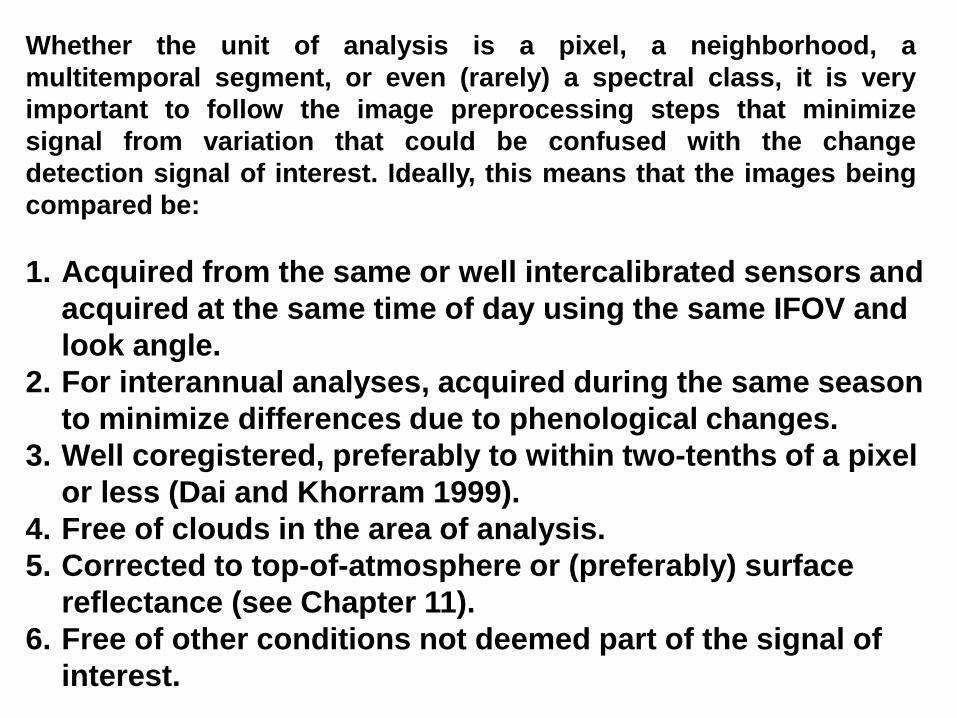
Whether the unit of analysis is a pixel, a neighborhood, a
multitemporal segment, or even (rarely) a spectral class, it is very
important to follow the image preprocessing steps that minimize
signal from variation that could be confused with the change
detection signal of interest. Ideally, this means that the images being
compared be:
1. Acquired from the same or well intercalibrated sensors and
acquired at the same time of day using the same IFOV and
look angle.
2. For interannual analyses, acquired during the same season
to minimize differences due to phenological changes.
3. Well coregistered, preferably to within two-tenths of a pixel
or less (Dai and Khorram 1999).
4. Free of clouds in the area of analysis.
5. Corrected to top-of-atmosphere or (preferably) surface
reflectance (see Chapter 11).
6. Free of other conditions not deemed part of the signal of
interest.

Bitemporal Change Detection
These analyses use images
acquired at two points in time.
Visual Interpretation-simple visual comparison of images from two dates
Image Algebra-arithmetic operations are applied to corresponding pixels in
each image
Transformation/Data Reduction-the data in the original image can be
trans- formed to new axes composed of linear combinations of the existing
bands (example PCA).
Classification-spectral change detection that could be very powerful.
Statistical Techniques-numerous ways to compare images statistically.

A series of powerful earthquakes rattled northern Japan starting on the evening of October 23. This IKONOS image shows a massive landslide over the EnokiTunnel.

Haiti Earthquake


Dry summer with low flows (July 1988). The river during the disastrous flood of July 1993.
Where the Missouri River joins the Mississippi River at St. Louis, Missouri.
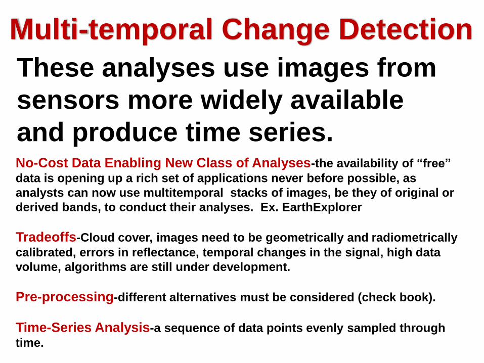
Multi-temporal Change Detection
These analyses use images from
sensors more widely available
and produce time series.No-Cost Data Enabling New Class of Analyses-the availability of “free”
data is opening up a rich set of applications never before possible, as
analysts can now use multitemporal stacks of images, be they of original or
derived bands, to conduct their analyses. Ex. EarthExplorer
Tradeoffs-Cloud cover, images need to be geometrically and radiometrically
calibrated, errors in reflectance, temporal changes in the signal, high data
volume, algorithms are still under development.
Pre-processing-different alternatives must be considered (check book).
Time-Series Analysis-a sequence of data points evenly sampled through
time.

AERIAL PHOTOGRAPHY TO
DETERMINE TEMPORAL CHANGES
La Parguera in 1936 La Parguera in the 80's
La Parguera in 2010


Postclassification
Change Detection
Comparing images subsequent to
classifying each. Consists only of
comparing the “from” class and
“to” class for each pixel or
segment.