Embed Size (px)
Citation preview

Shea JonesRemedial Project ManagerEPA Region 4
Case StudyLCP Chemicals Site
Phytoremediation Pilot Project

Outline of Presentation
Background InformationGroundwater QualityGroundwater SeepsProject GoalImplementation of ProjectCommunity and Agency ConcernsCurrent StatusNext StepsLessons Learned

Background Information
550-acre siteFormer oil refinery, paint manufacturing co., power plant, and chlor-alkali facility operated from 1919-1994Significant PRP-led removal actions in 1999 ($60 million)Soil and sediment contaminated with lead, mercury, and PCBsFish advisoriesCurrently in RI/FS phase


Groundwater Quality
Multiple rounds of horizontal and vertical well dataHg levels as high as 330 ppb and Pb as high as 120 ppbHg found below a sandstone layerCaustic Brine Pool below old cell buildingsRemoval Action

Groundwater Seeps
During conditions of high water table, seepage of groundwater occurs along portions of the shoreline that separates the upland soils from the tidal marshDark brown colorSome COCs present at elevated levels (74 ppb Hg and 60 ppb Pb)

Project Goal
To locally suppress the groundwater table (0.9 ft) and therefore, prevent the seeps from recontaminating the marsh Secondary Goals– Create a root zone that will degrade organic
contaminants through microbial degradation– Stabilize metals and take them up (lower
mobility and availability)

Insert first scanned picture showing seep location


Insert scanned pics showing conceptual site model

Plant Selection
List of potentially applicable plants was examinedList narrowed based on tolerance to site conditions (i.e. high pH) and desirable quantities such as high water use and deep roots

Selected Plants
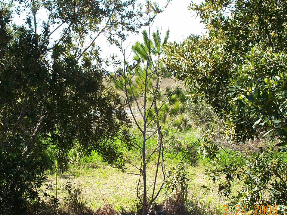
Salt tolerant Japanese black pineHybrid poplar trees (fast-growing with a high water demand)Myrtle (a shrub) Grasses (i.e. Bermuda and Spartina) Slash pine

Planting Design
Shrubs and trees mixed together to maximize evapotranspiration and to access different rooting layers– A grass cover will be established to help minimize
erosion and maximize water uptake in different soil layers
– A variety of species increases the health and stability of the ecosystem


Implementation of Project
Installed a rip-rap border between the upland areas and the newly dredged zone using concrete pieces from on-site stockpiles

Implementation of Project
Excavated and stockpiled approximately 1,160 CY of marsh sediments

Implementation of Project
Planted trees, shrubs, and grasses within the specified area

Community and Agency Concerns
MethylationRole of soil fertility during selection of plant speciesEncased root zoneAdditional monitoringFinal remedy?

Current Status
Plants have been in place a year and a halfWater level measurementsToo early to measure success


Water Level Measurements
Data collected March 2004 - February 2005Top of Casing – Water Levels (measured in the field) = Water Elevation (ft MSL)Goal: To reverse the elevation and gradient between C and D PiezometersLess than 30% of the P-2 and P-3 Piezometers are showing a reverse in gradient

Next Steps
Monitor progress by reviewing water levels and groundwater data Visit site periodically to see plant growthVisually inspect marsh area for seepage of dark brown water Investigate the need for air monitoring

Lesson Learned
Keep community and stakeholders involvedAlthough research project, EPA approval needed Regular monitoring program needed

Contact Information
Shea JonesEmail: [email protected]
Phone: (404) 562-8929
Dr. Herwig GoldemundGeosyntech Consultants
Email: [email protected]: (678) 202-9530