Embed Size (px)
Citation preview

Briefing on the work of GEBCO
www.gebco.net

What is GEBCO?
GEBCO aims to provide the most authoritative publicly-available bathymetry of the world's oceans.
It operates under the joint auspices of the International Hydrographic Organization (IHO) and the Intergovernmental Oceanographic Commission (IOC) of UNESCO

GEBCO’s work is directed by a Guiding Committee and supported by sub-committees and ad hoc working groups:
• Technical Sub-Committee for Ocean Mapping (TSCOM)• Sub-Committee for Undersea Feature Names (SCUFN)• Sub-Committee for Regional Undersea Mapping (SCRUM)• Outreach Working group• IHO-IOC GEBCO Cook Book Working group
What is GEBCO?

• Global gridded bathymetric data
• GEBCO 2014: 30 arc-second grid
• GEBCO 2019 15 arc-second grid
• Gazetteer of Undersea Feature Names
• Digital Atlas
• Grid viewing software
• Printable maps
• Web Map Service (WMS)
• IHO-IOC GEBCO Cook Book
GEBCO Products
www.gebco.net/data_and_products/

Funded by:
The Nippon Foundation of Japan
Taught at:
The Center for Coastal and Ocean Mapping / Joint Hydrographic Center; University of New Hampshire, USA
Capacity-building Initiative: Postgraduate Certificate in Ocean Bathymetry
www.gebco.net/data_and_products/
Training a new generation of scientists and hydrographers in ocean bathymetry

90 Scholars from 40 coastal states over last 15 years!
Capacity-building Initiative: Nippon Foundation / GEBCO Alumni

GEBCO-NF Alumni Team

The Nippon Foundation – GEBCO Seabed 2030 Project
Project Announced at 2017
UN Ocean Conference
Vision Established through 2016 Forum for
Future Ocean Floor Mapping

A collaborative project between the Nippon Foundation and GEBCO to inspire thecomplete mapping of the world’s ocean by 2030, and to compile all bathymetricdata into the freely-available GEBCO Ocean Map.

Seabed 2030
Seabed 2030 is a global initiative to cooperatively work towards
creating a high resolution complete map of the world’s ocean floor by 2030.
-The Nippon Foundation is a private Japanese-based, non-profit grant-making organization with a mission based around
philanthropic activities to pursue global maritime development and assistance for humanitarian work.
-The General Bathymetric Chart of the Oceans (GEBCO) organization operates under the joint auspices of the International
Hydrographic Organization (IHO) and the Intergovernmental Oceanographic Commission (IOC) of UNESCO

Only a small portion of the ocean has been mapped with direct measurement.
~ 50% of the world’s coastal waters remain unsurveyed*
*IHO publication C-55, Status of Surveying and Charting Worldwide
Empower the world to make policy decisions, use the ocean sustainably, and undertake scientific research that is informed by a detailed understanding of the global ocean floor.

Why are Bathymetry Data Important?
• Nautical charts• Oil and gas exploration• Safety and storm surge/tsunami
inundation models• Ecosystem identification and
management• Emergency response• Satellite verification models
• Ocean Models• Coastal/Marine Spatial Planning• Coastal Hazard Assessment• Ocean Exploration• Coastal Change Analysis• Sea Level Rise Mitigation• New Energy Siting• Marine heritage

The UN Decade of Ocean Science for Sustainable Development (2021-2030)
SDG14 will not be achievable without a comprehensive map of the world ocean floor

Seabed 2030 Strategy
Partnership
• Work with all stakeholders to form a global coalition dedicated to giving the world a complete GEBCO Ocean Map.
Sharing and acknowledging
• Encourage and facilitate the sharing of bathymetric data, giving due acknowledgement to Partners and data contributors.
Invest in human capacity development
• Invest in capacity development to increase skills and greater capacity in ocean mapping, and meet growing needs of big data analysis and visualization.
Leverage technology innovation
• Work with technology partners to apply new mapping and data analysis techniques to support Seabed 2030’s mission.

Collaboration and cooperation at local, regional and global scales
Seabed 2030 Regional Data Assembly
Global
Regional
National
Regional IBCsSeabed 2030 Regional Compilations
GEBCO Global Products
LDEO
NIWA/GNS/LINZ
SU
AWINOC
CCOM
• Coordinate with stakeholders
• Build upon ongoing regional efforts including IBCs
• Develop mechanisms for attribution
• Assemble regional & global data products
Seabed 2030: Data Centers

ENC Data Contributions to GEBCO
Usage bands 2 & 3 provided after IHO calls
2006 (yellow) and 2016 (red)

Coordinating with IBCs
• Seabed 2030 Atlantic/Indian Oceans Data Center• IBC of the Caribbean Sea & Gulf of Mexico (IBCCA)
• IBC of the Central Eastern Atlantic (IBCEA)
• IBC of the Mediterranean (IBCM)
• IBC of the Western Indian Ocean (IBCWIO)
• Seabed 2030 South & West Pacific Data Center• IBC of the South Eastern Pacific (IBCSEP)
• Seabed 2030 Arctic/North Pacific Data Center• IBC of the Arctic Ocean (IBCAO)
• IBC of the Caribbean Sea & Gulf of Mexico (IBCCA)
• Seabed 2030 Southern Ocean Data Center• IBC of the Southern Ocean (IBCSO)
Global
Regional
Regional

How much of the ocean is mapped?
X: Data in GEBCO products
Y: Data that exists but are not yet integrated• Public• Embargoed
Z: Data that must be acquired
X + Y + Z = 100%
known
unknown

Completing the Map
Existing data not yet integrated• Gather information about existing
data even if embargoed• Facilitate data sharing
New Data Acquisition• Identify gaps in coverage• Inform new acquisition• Technology innovation• Accelerate uptake of new technology
X + Y + Z = 100%
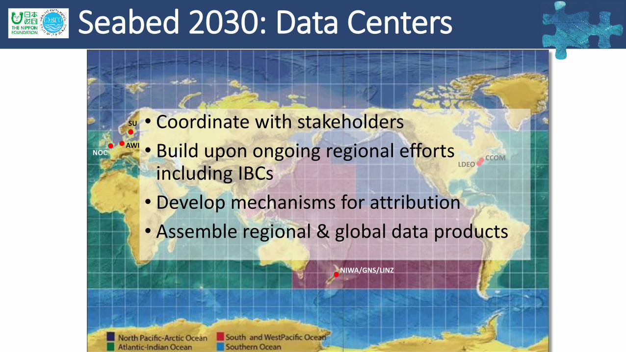
How to participate
•Contribute information about existing data coverage
•Contribute data • Gridded data products
• Points from ENCs
• Share information about future mapping plans
• Engage with Data Centers
• Support and promote GEBCO activities and products
seabed2030.org@seabed2030

Thank you!www.gebco.net