Embed Size (px)
Citation preview

A visit at the 2017 topography fair
This year we had the opportunity to go to the 13th topography fair organized by the French association of land- surveyors (AFT) and the National School of Geographic Sciences (ENSG) in Marne La Vallée.
Thursday, March 16thBTS1 MGTMN

The full- day programme
9:009:30
Opening of the fair and welcome coffee
12h4514h00
Lunch
9:309:45
Reception of participants by thehead of the ENSG and Françoise Duquenne (president of the AFT)
14:0015:00
AFT’s general meeting
9:4510:30
Lecture # 1 : IGN online mapservices by Sofiane Kriat
15:0015:30
Interventions by participants
10:3011:15
Lecture # 2 : online GNSS positioning calculationsby Elise-Rachel Mathis
15:3016:15
Lecture # 3 : Scodify [automated cartography of underground
networks]by Jean- Loup Delaveau
11:15
11:45Interventions by participants 16:15
17:00Annual AFT Awards
11:4512:45
Visit of the stands 17:1518:00
Closing cocktail
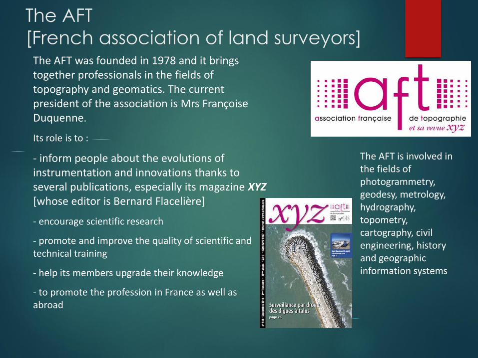
The AFT
[French association of land surveyors] The AFT was founded in 1978 and it brings together professionals in the fields of topography and geomatics. The current president of the association is Mrs Françoise Duquenne.
Its role is to :
- inform people about the evolutions of instrumentation and innovations thanks to several publications, especially its magazine XYZ[whose editor is Bernard Flacelière]
- encourage scientific research
- promote and improve the quality of scientific and technical training
- help its members upgrade their knowledge
- to promote the profession in France as well as abroad
The AFT is involved in the fields of photogrammetry, geodesy, metrology, hydrography, topometry, cartography, civil engineering, history and geographic information systems

The ENSG
[National school of Geographic Sciences]
The ENSG was originally founded in 1941 (in Paris then transferred next to the buildings of the IGN in Saint-Mandé) to train technical personnel for the National Institute of Geographic and Forest Information (IGN).
Since 1997, the ENSG has been located just east of Paris in Marne-la-Vallée on the CitéDescartes campus of the University of Paris-East in a specially built postmodern facility, shared with Ponts ParisTech. Over 5,000 students have already been trained at the ENSG as engineers, technicians and managers
from more than 80 countries.

The ENSG offers 12 courses of study leading to degrees in geomatics beginning from the advanced technician’s degree (BTS), to undergraduate, graduate and postgraduate diplomas (BSc, MSc, MEng) and the Specialized Masters’ (SM) in professional fields such as environment, territorial management, transportation, energy, defense, risk prevention and more generally, all the fields based on information technologies.
These courses of study focus on data acquisition and processing technologies, their integration into information systems and their applications for decision-making including (Computer Science, Geodesy, Topography, Photogrammetry, Remote Sensing, Cartography, Information Systems, and especially, Geographic Information Systems (GIS)).

IGN online map services
The National Geographic Institute (IGN) created several online map services or geoservices aimed at professionals or at casual users.
https://macarte.ign.fr/ can be used to create and share personalized maps
https://remonterletemps.ign.fr/ can be used to compare maps and aerial photography across the years.
https://mesadresses.ign.fr/ can translate addresses into coordinates which can then be imported onto personalized maps with the related data you want.
http://logiciels.ign.fr/?-Mon-geocodeur is aimed at professionals and allows you to do the same operations with more accuracy but also do the opposite
A lecture by Sofiane Kriat, head of geoservices marketing

IGN online GNSS calculations
Rachel-Elise Mathis presented another geoservice provided by the IGN : a web portal dedicated to GNSS data post-processing.
This entirely free service is used to calculate more accurately the position of points measured with a GNSS receiver thanks to the RGP (permanent GNSS network) antenna network

ScodifyA lecture by Jean Loup Delaveau, CEO and cofounder of Springeo
Scodify is an application developed by Springeo, a French
company founded in 2014 in Buron, in France.

According to a new law passed on February 15th, 2012, all aboveground or underground networks must be georeferenced (because damaging underground networks has proved to be a serious hazard on construction sites)
Scodify is a web based application used to convert CADfiles (.dwg, drawn by land surveyors) into GIS-ready files. This time consuming process is turned into a simple operation taking no more than an hour thanks to the smart algorithms reading the drawing and drawing most of the basic objects. Then the operator simply has to complete it and validate the new file.

BEFORE
AFTER

Annual AFT Awards
Each year three students from the ENSG, the ESGT or the INSA are awarded a prize by the AFT. This topography fair was the occasion for the French topography association to reward the three best graduation projects.
The award winners : Thibault Bavoux, Jérémie Brossard, Camille Favre

The winning project
- SNCF deploys daily drones to measure railway network without disrupting train traffic. The aim of the project is to develop algorithms for automatic object extraction by using UAV’s photogrammetric data. Thanks to a preliminary analysis we have validated orthophotos quality which enable us object identification and characterization.
- Then we have developed an automatic rail extraction algorithm. This program has been split into 3 distinct blocks, orthophoto resizing according to the studied area, regular bands creation (to minimize data volume) and automatic rail extraction.
- The qualitative and quantitative analysis meets SNCF Reseau requirement and can be integrated into production operations. By using this method SNCF will be able to develop new tools to optimize and automatize railway characterization.

The exhibitors
ATLOG presentedtheir touchscreentopography software called LAND2MAP.
The fair was also the occasion for many manufacturersto showcase the latest innovations in topography hardware. We visited 14 stands. Among them :
Hélicéo created the DroneBox RTK technology. It has been designed to becompatible with all Hélicéo aircrafts suchas drones or airplanes
STONEX, still little knownon the market, came to present their new range of GPS and total station that could very sooncompete with big brands.

Our impressionsThis forum was an opportunity to have a comprehensive view of what the field of land surveying deal with. The lectures required in-depth knowledge in topography and were thushard to follow for us. Nonetheless, a wide range of exhibitors coming from all over the country displayed cutting-edge technologies for land surveyors, which were fascinating. I am lookingforward to coming back next year !
The forum was great fun, we had the opportunity to learn a lot about land surveying and geoservices, something relatively new we weren’t necessarily aware of. It was also the occasion to see top of the line equipment and speak with their manufacturers. I’m eager to participate again next year.
It was a good experience for us. The
lectures were very technical,
sometimes difficult to understand
but very interesting. We had the
opportunity to meet a lot of land-
surveyors who shared their
experiences and their perceptions. It
was a good day.