Embed Size (px)
DESCRIPTION
Â
Citation preview

A Land Information System for Turkey – A Resource for Future
Sustainable Development
Dr Stephen HallettLeader Geographical Systems Group
SSLRC, Cranfield University
Hallett, S.H, Ozden, D.M, Keay, C.A, Colombo, B.J, Koral, A, Keskin, S, and Bradley, R.I.
www.khgm.gov.tr/
www.cranfield.ac.uk/sslrc/
Overview
Introduce GDRS in context Describe Soil and Water National Information
System Outline the key project objectives Present the principle data issues Identify user community Look to future developments
www.khgm.gov.tr/www.cranfield.ac.uk/sslrc/
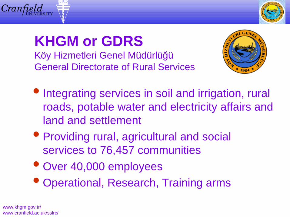
KHGM or GDRSKöy Hizmetleri Genel MüdürlüğüGeneral Directorate of Rural Services
Integrating services in soil and irrigation, rural roads, potable water and electricity affairs and land and settlement
Providing rural, agricultural and social services to 76,457 communities
Over 40,000 employees Operational, Research, Training arms
www.khgm.gov.tr/www.cranfield.ac.uk/sslrc/
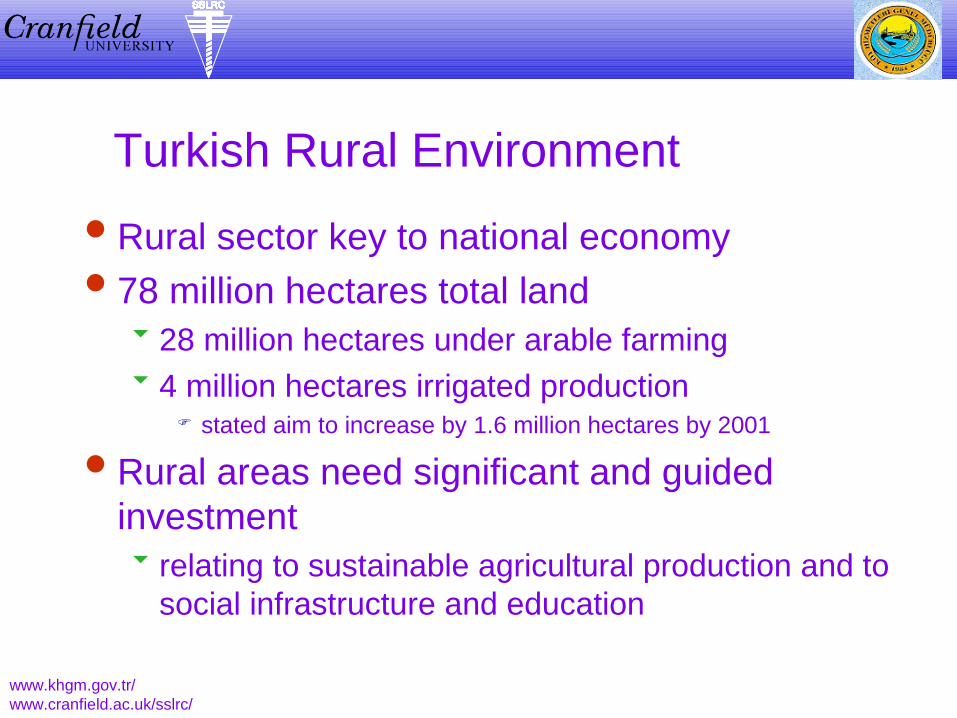
Turkish Rural Environment
Rural sector key to national economy 78 million hectares total land
28 million hectares under arable farming 4 million hectares irrigated production
stated aim to increase by 1.6 million hectares by 2001
Rural areas need significant and guided investment relating to sustainable agricultural production and to
social infrastructure and education
www.khgm.gov.tr/www.cranfield.ac.uk/sslrc/

Supporting the Decision Makers
Sustainable stewardship and prudent management of rural resource
Availability of contemporary information Information Technology as a key
management tool Alignment with European methodology
www.khgm.gov.tr/www.cranfield.ac.uk/sslrc/

GDRS Soil and WaterNational Information Centre
To collect and organise both point and spatial data on natural resources and the environment
To develop a computerised Information System to store, manipulate and maintain such data
To act as a repository for publications containing rural environmental information on Turkey
To provide information to policy makers
www.khgm.gov.tr/www.cranfield.ac.uk/sslrc/ Core Functions 1/2

GDRS Soil and WaterNational Information Centre
To identify data users and establish their requirements
To develop GIS expertise within GDRS To increase awareness of other organisations
collecting and disseminating rural environmental data in Turkey
To facilitate and encourage the exchange of ideas among resource information agencies at national and international levels
www.khgm.gov.tr/www.cranfield.ac.uk/sslrc/ Core Functions 2/2
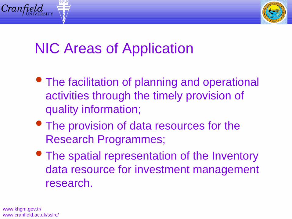
NIC Areas of Application
The facilitation of planning and operational activities through the timely provision of quality information;
The provision of data resources for the Research Programmes;
The spatial representation of the Inventory data resource for investment management research.
www.khgm.gov.tr/www.cranfield.ac.uk/sslrc/

NIC Data Environment
Data held in common reference base Based upon the UTM 1:25,000 topographic
mapping of the General Command of Mapping
Incorporate spatial and aspatial data Oracle and TNT MIPS software tools NT and UNIX server platforms
www.khgm.gov.tr/www.cranfield.ac.uk/sslrc/

Core NIC Data Themes
Soil mapping at 1:25,0001:100,000 and 1:200,000 scales
Administrative Boundaries / Locations
Geological maps at 1:25,000 scale
Climate and Meteorology Topography Cadastral data
www.khgm.gov.tr/www.cranfield.ac.uk/sslrc/
Hydrology Remote sensing and
aerial imagery Land use, type and
capability Demography Cartographic Urban zones

Soil Mapping
1:800,000 reconnaissance 1952-54 1:200,000 1966-71, 75 surveyors 1:25,000 mapping derived 1:100,000 general mapping Digital map construction underway
Major soil types, erosion, land use, land classification and suitability
www.khgm.gov.tr/www.cranfield.ac.uk/sslrc/

Soil Map Legend
Major Soil Group Soil-classification
combination Other soil classes Erosion classes Current Land Use Land Use Capability
Class Sub-class
www.khgm.gov.tr/www.cranfield.ac.uk/sslrc/
Land Type Agricultural Land
Class Slope (A-F)
Depth (A-E)
Texture (A-H)
Drainage (A-G)
Salinity (A-F)

Soil Map Digitisation
Case study in Ankara Province Thrace and further 10 provinces 25% of country now completed at 1:25,000
scale Further provinces now underway Publish data on Internet and GDRS Intranet
to widest audience
www.khgm.gov.tr/www.cranfield.ac.uk/sslrc/

Inventory, Census and Hydrology Sub-districts Villages Sub-villages Resettlement Bridges Agriculture Rural roads Drinking water facilities Land consolidation Electricity plants Income sources and
settlement places for migrating families
www.khgm.gov.tr/www.cranfield.ac.uk/sslrc/
Irrigation dams Water pipes Hydrogeological information Wells Pumps Co-operatives Economic plants Ground and underground
water wells Land development services Collector pipes Soil conservation and new
settlements
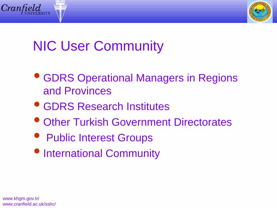
NIC User Community
GDRS Operational Managers in Regions and Provinces
GDRS Research Institutes Other Turkish Government Directorates Public Interest Groups International Community
www.khgm.gov.tr/www.cranfield.ac.uk/sslrc/
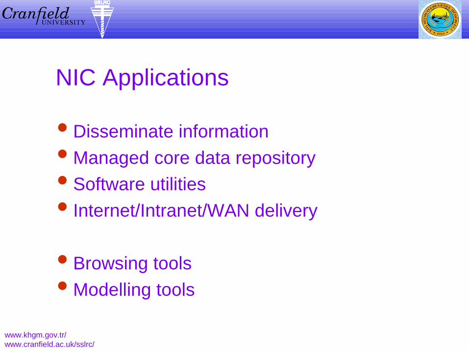
NIC Applications
Disseminate information Managed core data repository Software utilities Internet/Intranet/WAN delivery
Browsing tools Modelling tools
www.khgm.gov.tr/www.cranfield.ac.uk/sslrc/

Future Challenges and Direction
Environmental 1.5 million hectares of arable land threatened by
salinity 2.8 million further hectares threatened by
waterlogging Water and wind erosion has major impact
Resourcing Allocating scare resources Funding post-TARP
www.khgm.gov.tr/www.cranfield.ac.uk/sslrc/

Conclusions
NIC offers cost-effective management DSS and research tool
Timely contribution to contemporary sustainable natural resource stewardship
Draws together pertinent existing thematic datasets
Construction of new datasets Widest delivery mechanisms sought
www.khgm.gov.tr/www.cranfield.ac.uk/sslrc/

A Land Information System for Turkey – A Resource for Future
Sustainable Development
Dr Stephen HallettLeader Geographical Systems Group
SSLRC, Cranfield University
Hallett, S.H, Ozden, D.M, Keay, C.A, Colombo, B.J, Koral, A, Keskin, S, and Bradley, R.I.
www.khgm.gov.tr/
www.cranfield.ac.uk/sslrc/