Embed Size (px)
Citation preview

2017 Esr i
PETROLEUMGIS CONFERENCE

ArcGIS for PipelinesApril 13, 2017
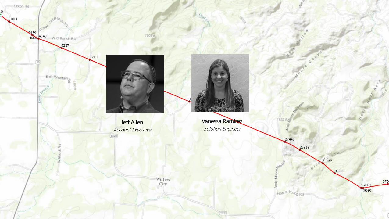
Jeff Allen
Account Executive
Vanessa Ramirez
Solution Engineer

Business Management
Health, Safety & Environment
Asset Operations
Asset Development
Planning
Rights of Way
Engineering
Design
Construction
Inspection
Maintenance
Network Control
Emergency
Management
Health
Safety
Environmental
Management
Tax Accounting
Business
Intelligence
Revenue Protection
Human Resources
Legal
Asset Management
GIS
MAOP
TVC
Customers & Regulators
Marketing
Sales
Customer
Service
Regulatory
Compliance
Enabling the Platform Across the Pipeline Lifecycle
PipeIntegrity
Risk
ILI
HCA
Class

GIS is a “System of Record”Organizing and Managing the Geographic Context of Your Assets and Resources

What is ArcGIS Pipeline Referencing?
ArcGIS Pipeline Referencing extensions enable
you to effectively and efficiently manage route
and event data from multiple linear referencing
systems on a common geographic basis.
0 100Route 1
Linear Event Point Event

Focus Your GIS Professionals

Create A Destination PortalOrganizing and Making Available Ready to Use Maps and Authoritative Knowledge About Your Assets and Resources

Geoprocessing
Information
Model
ArcGIS Pipeline Referencing
Data Management
Workflow
Web
Services
ArcGIS
Quality Control Editing
ArcGIS Pipeline
Referencing

Schema for route centerline management
Routes (Network)
Route features
Calibration Points
Point feature class that
stores route measures
Centerline
Line feature class that
stores route geometry
Centerline Sequence
Key table for M-N
relationship between
Centerline and Route
1 1
M M
N
1
Location Model
…with support for Engineering Stationing
Separate feature class for
each LRM
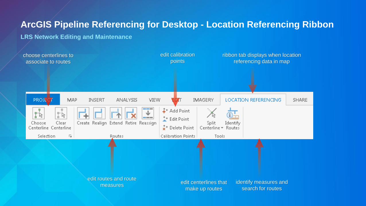
ribbon tab displays when location
referencing data in mapchoose centerlines to
associate to routes
edit routes and route
measuresedit centerlines that
make up routes
identify measures and
search for routes
ArcGIS Pipeline Referencing for Desktop - Location Referencing Ribbon
LRS Network Editing and Maintenance
edit calibration
points

Event Editor – Web ApplicationWeb-base event editing
• Editing
- Line events
- Points events
- Tabular selection results
- Attribute set results
• Selection
- Select by route, attribute,
geometry, proximity
- Single layer results or attribute
sets
• QC
- Gaps, overlaps, invalid
measures
- Data Reviewer batch checks

ArcGIS Workflow
Manager
ArcGIS Data
Reviewer
PODS and
UPDM Data
Models
Partner Solutions
& Services
Online Content
and Services
ArcGIS Utility
Network
ArcGIS
Pipeline Referencing
Esri Production
Mapping

ArcGIS Workflow
Manager
ArcGIS Data
Reviewer
PODS, UPDM
Data Models
Partner Solutions
& Services
Online Content
and Services
ArcGIS Utility
Network
ArcGIS
Pipeline Referencing
Esri Production
MappingDecision Makers
Developers
Field Crew
Knowledge
Workers
GIS
Professionals

ArcGIS Pipeline Referencing Demo

ArcGIS Pipeline Referencing
DeploymentWeb Server
Enterprise Geodatabase
Portal
10.5 Enterprise ArcGIS Server
with ArcGIS Pipeline Referencing for Server
Fed
era
ted
Event Editor Requires a Level 2
Named User
ArcGIS Desktop Standard 10.5with ArcGIS Pipeline
Referencing for Desktop (Single Use Only)
ArcGIS Pro 1.4 Standard with ArcGIS Pipeline
Referencing for Desktop(Single Use Only)
Route Editing (ArcGIS Pro)
Data Loading (ArcMap/ArcCatalog)
Event Editing (Web)

Configure COTS as a PlatformDeliver Impact and Results Faster, Save Money, Reduce Risk
Configure First
Customize as Needed
Empower Your Work Force
GIS Platform

Thank You to Our SponsorsE
ME
RA
LD
SA
PP
HIR
E

Select the session
you attended
Scroll down to
find the survey
Complete Answers
and Select “Submit”
Download the Esri Events
app and find your event
Please Take Our Survey on the Esri Events App!