Embed Size (px)
Citation preview
FARROW RD
§̈¦277
§̈¦277
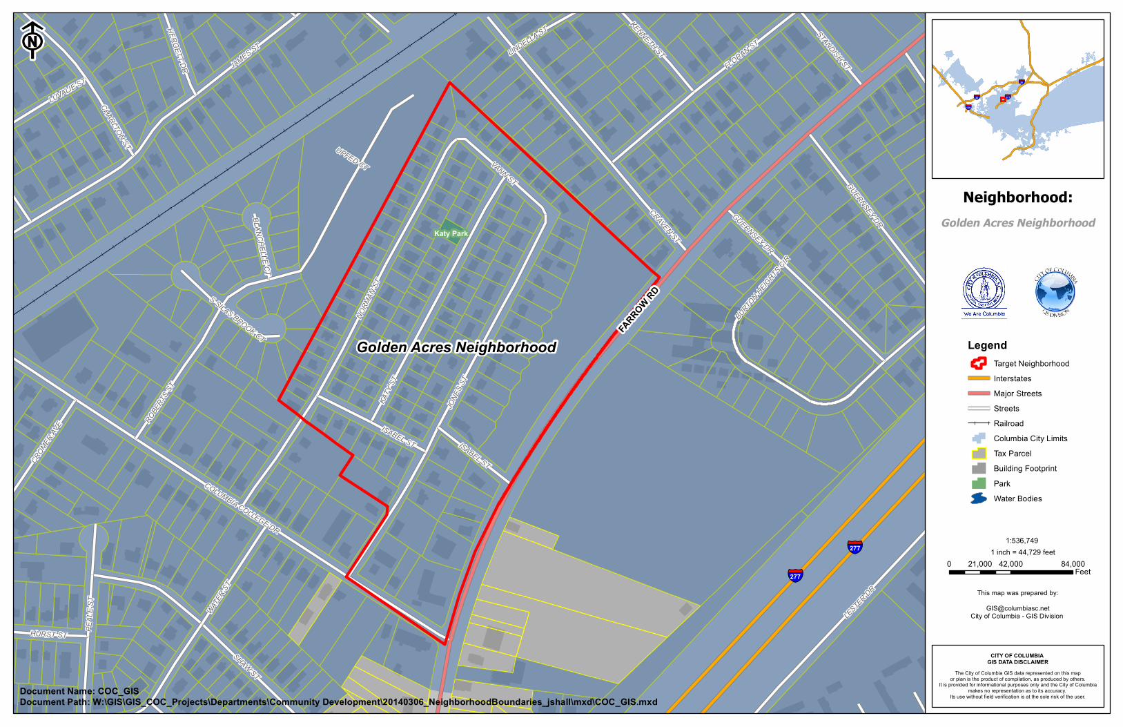
Golden Acres Neighborhood
JONE
S ST
JAMES ST
NORM
AN ST
ROBE
RTS S
T
KATY
ST
CRAVEN ST
SHAW ST
COLUMBIA COLLEGE DR
LESTER DR
WATER
ST
FLORAN ST
PEAL
E ST
VANN ST GUERNSEY DR
CHARLTON ST
ISABEL STCROMER
AVE
KENNETH ST
LUVALIE ST
HURST ST
STANDISH ST
HERGETT DR
BURTON HEIGHTS
CIR
LINDELLA ST
BLANCHELLE CT
S SILAS BROOK CT
UPFED CT
GUERNSEY DR
ISABEL ST
Katy Park
F§̈¦277§̈¦20
§̈¦126
§̈¦20
LegendTarget NeighborhoodInterstatesMajor StreetsStreetsRailroadColumbia City LimitsTax ParcelBuilding FootprintPark Water Bodies
The City of Columbia GIS data represented on this mapor plan is the product of compilation, as produced by others.
It is provided for informational purposes only and the City of Columbiamakes no representation as to its accuracy.
Its use without field verification is at the sole risk of the user.
CITY OF COLUMBIA GIS DATA DISCLAIMER
Neighborhood:
This map was prepared by:[email protected]
City of Columbia - GIS Division
1 inch = 44,729 feet0 42,000 84,00021,000
Feet
1:536,749
Document Name: COC_GISDocument Path: W:\GIS\GIS_COC_Projects\Departments\Community Development\20140306_NeighborhoodBoundaries_jshall\mxd\COC_GIS.mxd
Golden Acres Neighborhood