Embed Size (px)
Citation preview
Coherent planning of ship corridors in MSP
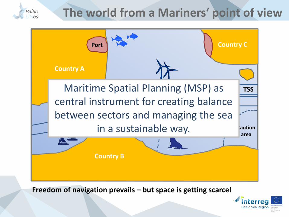
Country A
Country B
Country C
Country B
Port
ATBACaution
area
TSS
DW
The world from a Mariners‘ point of view
Freedom of navigation prevails – but space is getting scarce!
Maritime Spatial Planning (MSP) ascentral instrument for creating balancebetween sectors and managing the sea
in a sustainable way.
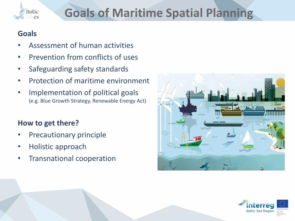
Goals of Maritime Spatial Planning
Goals
• Assessment of human activities
• Prevention from conflicts of uses
• Safeguarding safety standards
• Protection of maritime environment
• Implementation of political goals(e.g. Blue Growth Strategy, Renewable Energy Act)
How to get there?
• Precautionary principle
• Holistic approach
• Transnational cooperation
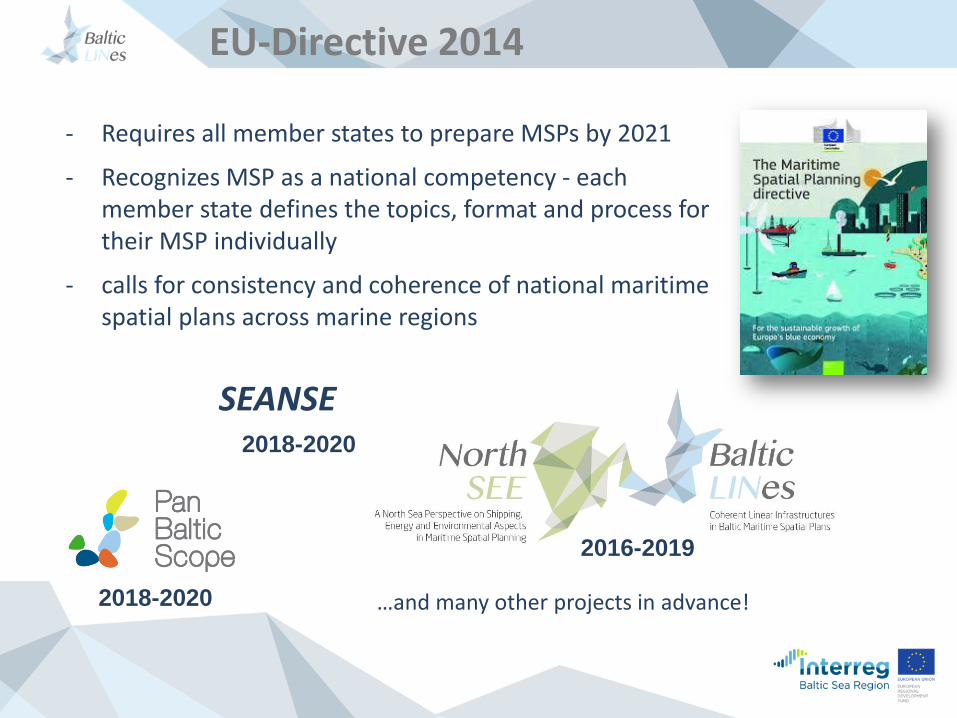
- Requires all member states to prepare MSPs by 2021
- Recognizes MSP as a national competency - each member state defines the topics, format and process for their MSP individually
- calls for consistency and coherence of national maritime spatial plans across marine regions
SEANSE2018-2020
2018-2020
2016-2019
…and many other projects in advance!
EU-Directive 2014
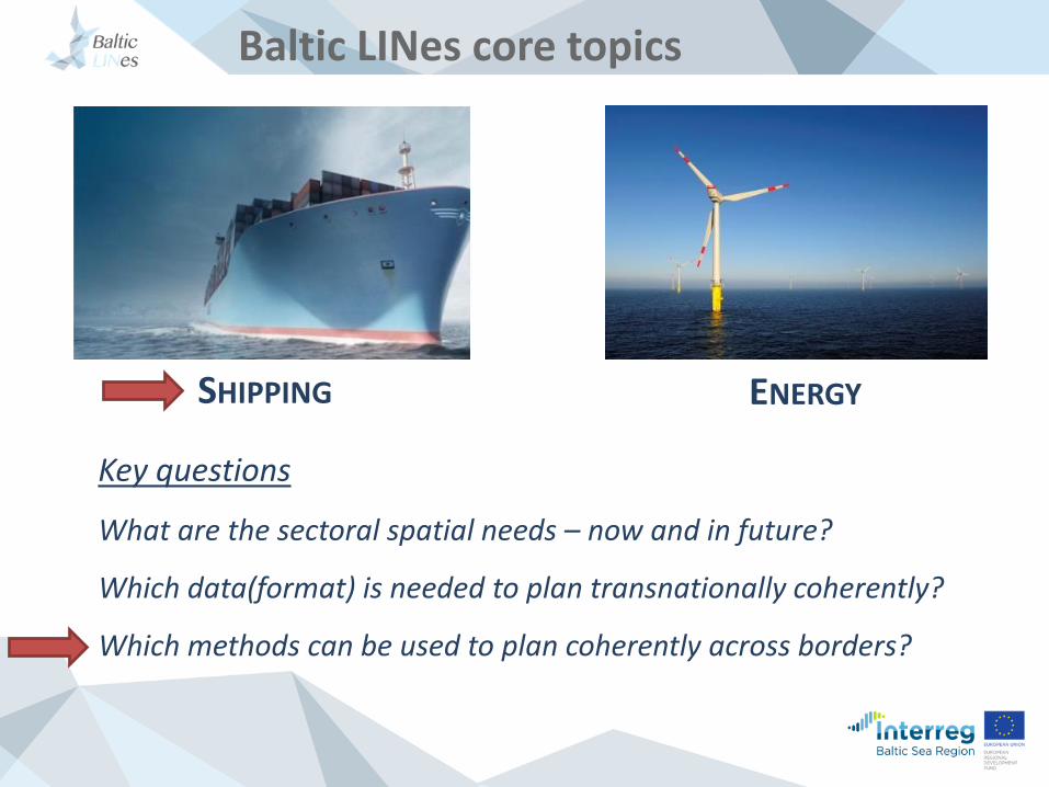
Baltic LINes core topics
SHIPPING ENERGY
Key questions
What are the sectoral spatial needs – now and in future?
Which data(format) is needed to plan transnationally coherently?
Which methods can be used to plan coherently across borders?
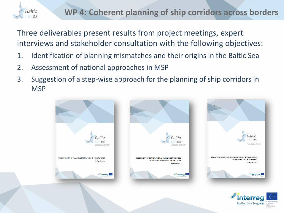
WP 4: Coherent planning of ship corridors across borders
Three deliverables present results from project meetings, expert interviews and stakeholder consultation with the following objectives:
1. Identification of planning mismatches and their origins in the Baltic Sea
2. Assessment of national approaches in MSP
3. Suggestion of a step-wise approach for the planning of ship corridors in MSP
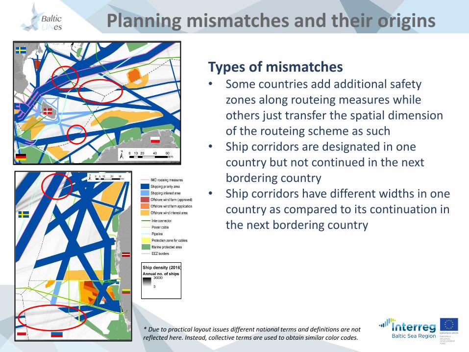
Planning mismatches and their origins
* Due to practical layout issues different national terms and definitions are not reflected here. Instead, collective terms are used to obtain similar color codes.
Types of mismatches• Some countries add additional safety
zones along routeing measures while others just transfer the spatial dimension of the routeing scheme as such
• Ship corridors are designated in one country but not continued in the next bordering country
• Ship corridors have different widths in one country as compared to its continuation in the next bordering country
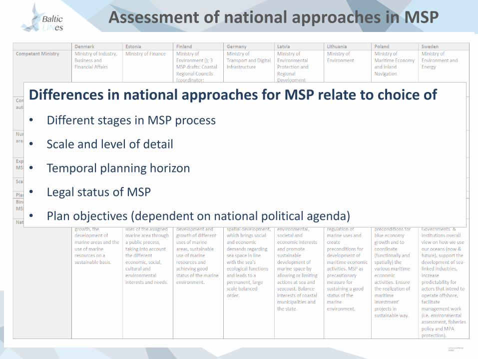
Assessment of national approaches in MSP
Differences in national approaches for MSP relate to choice of
• Different stages in MSP process
• Scale and level of detail
• Temporal planning horizon
• Legal status of MSP
• Plan objectives (dependent on national political agenda)
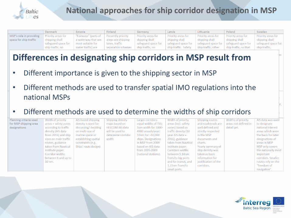
National approaches for ship corridor designation in MSP
Differences in designating ship corridors in MSP result from
• Different importance is given to the shipping sector in MSP
• Different methods are used to transfer spatial IMO regulations into the national MSPs
• Different methods are used to determine the widths of ship corridors
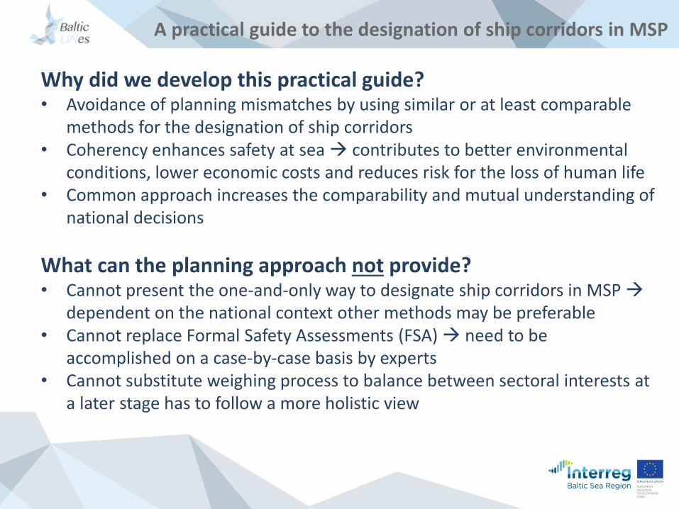
A practical guide to the designation of ship corridors in MSP
Why did we develop this practical guide?• Avoidance of planning mismatches by using similar or at least comparable
methods for the designation of ship corridors• Coherency enhances safety at sea contributes to better environmental
conditions, lower economic costs and reduces risk for the loss of human life• Common approach increases the comparability and mutual understanding of
national decisions
What can the planning approach not provide? • Cannot present the one-and-only way to designate ship corridors in MSP
dependent on the national context other methods may be preferable• Cannot replace Formal Safety Assessments (FSA) need to be
accomplished on a case-by-case basis by experts• Cannot substitute weighing process to balance between sectoral interests at
a later stage has to follow a more holistic view
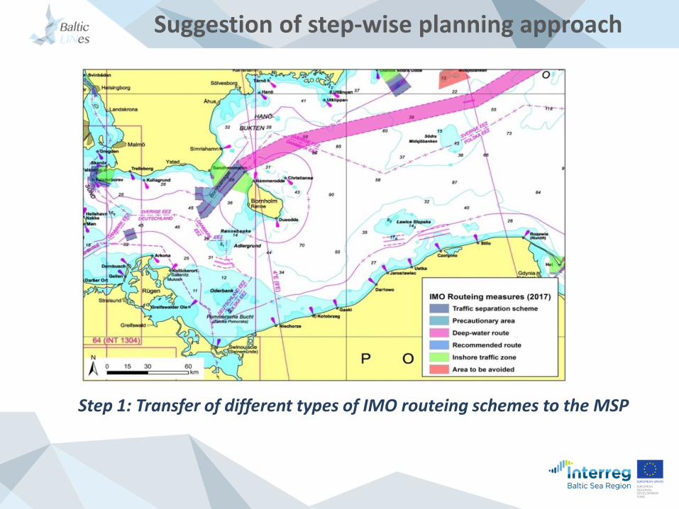
Suggestion of step-wise planning approach
Step 1: Transfer of different types of IMO routeing schemes to the MSP
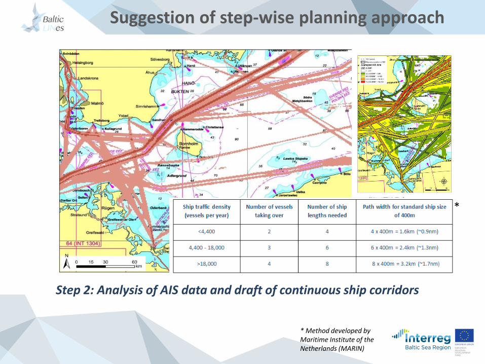
Suggestion of step-wise planning approach
Step 2: Analysis of AIS data and draft of continuous ship corridors
*
* Method developed byMaritime Institute of the Netherlands (MARIN)
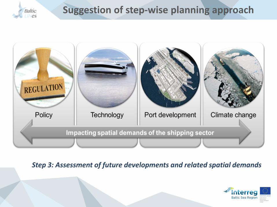
Suggestion of step-wise planning approach
Step 3: Assessment of future developments and related spatial demands
Suggestion of step-wise planning approach
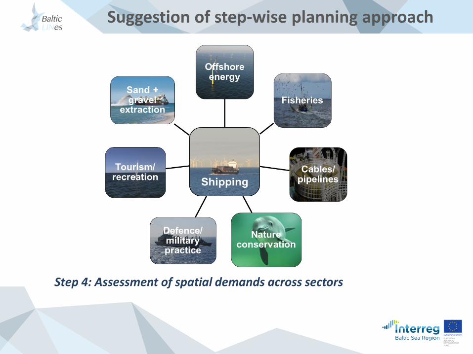
Step 4: Assessment of spatial demands across sectors
Suggestion of step-wise planning approach
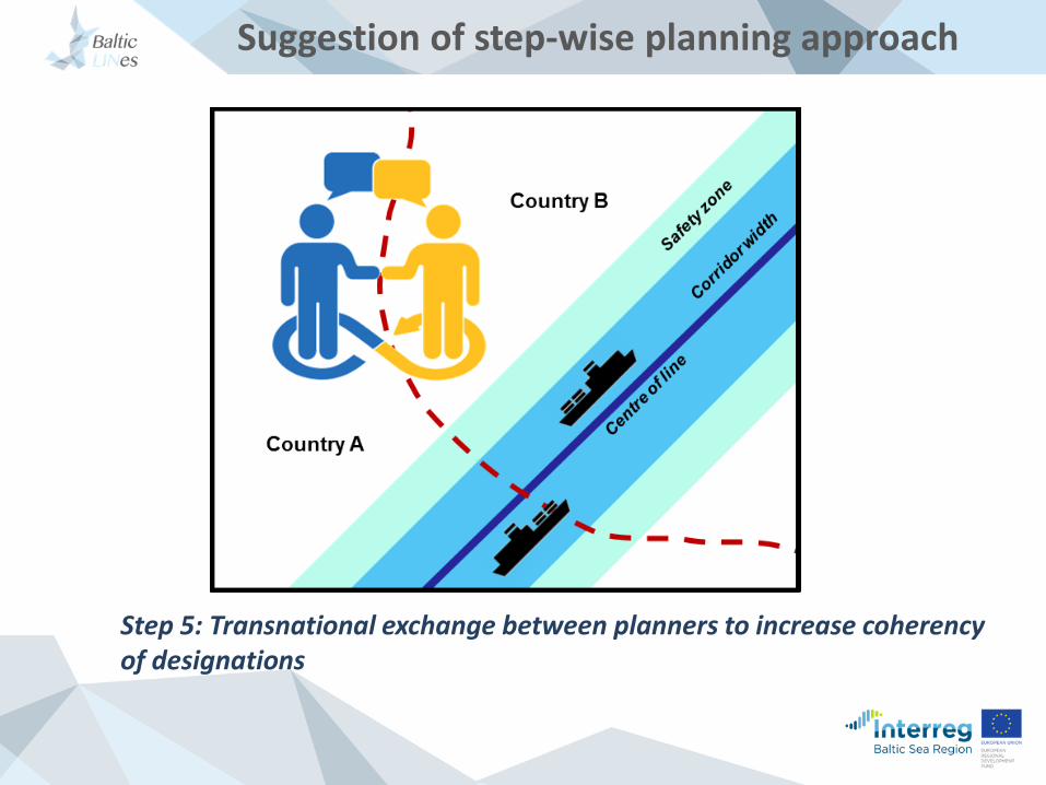
Step 5: Transnational exchange between planners to increase coherency of designations
Suggestion of step-wise planning approach
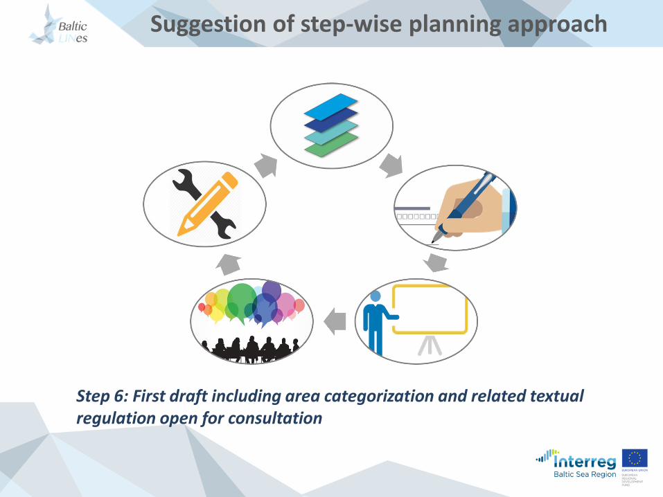
Step 6: First draft including area categorization and related textual regulation open for consultation
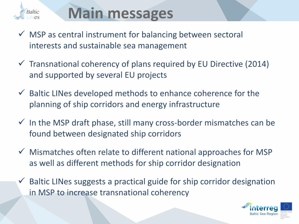
Main messages MSP as central instrument for balancing between sectoral
interests and sustainable sea management
Transnational coherency of plans required by EU Directive (2014) and supported by several EU projects
Baltic LINes developed methods to enhance coherence for theplanning of ship corridors and energy infrastructure
In the MSP draft phase, still many cross-border mismatches can befound between designated ship corridors
Mismatches often relate to different national approaches for MSP as well as different methods for ship corridor designation
Baltic LINes suggests a practical guide for ship corridor designationin MSP to increase transnational coherency
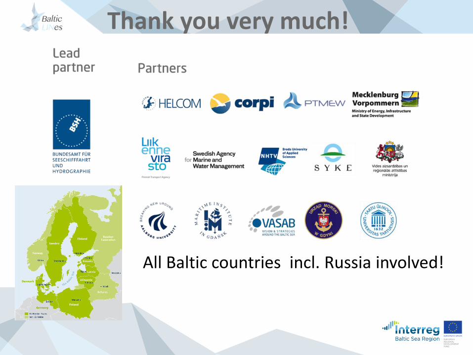
Thank you very much!
All Baltic countries incl. Russia involved!
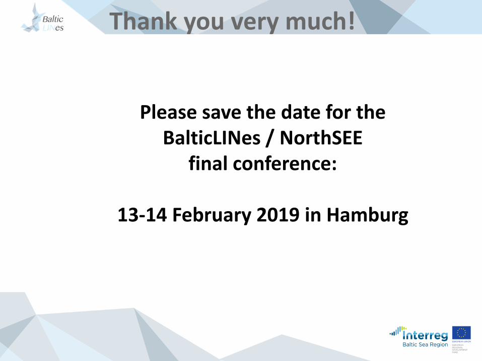
Thank you very much!
Please save the date for theBalticLINes / NorthSEE
final conference:
13-14 February 2019 in Hamburg


