Embed Size (px)
Citation preview
slide1
An over view of the National Street Gazetteer
15th March 2006
London HAUC Expo
Nick TurnerNational Street Gazetteer CustodianIntelligent Addressing [email protected]
slide2
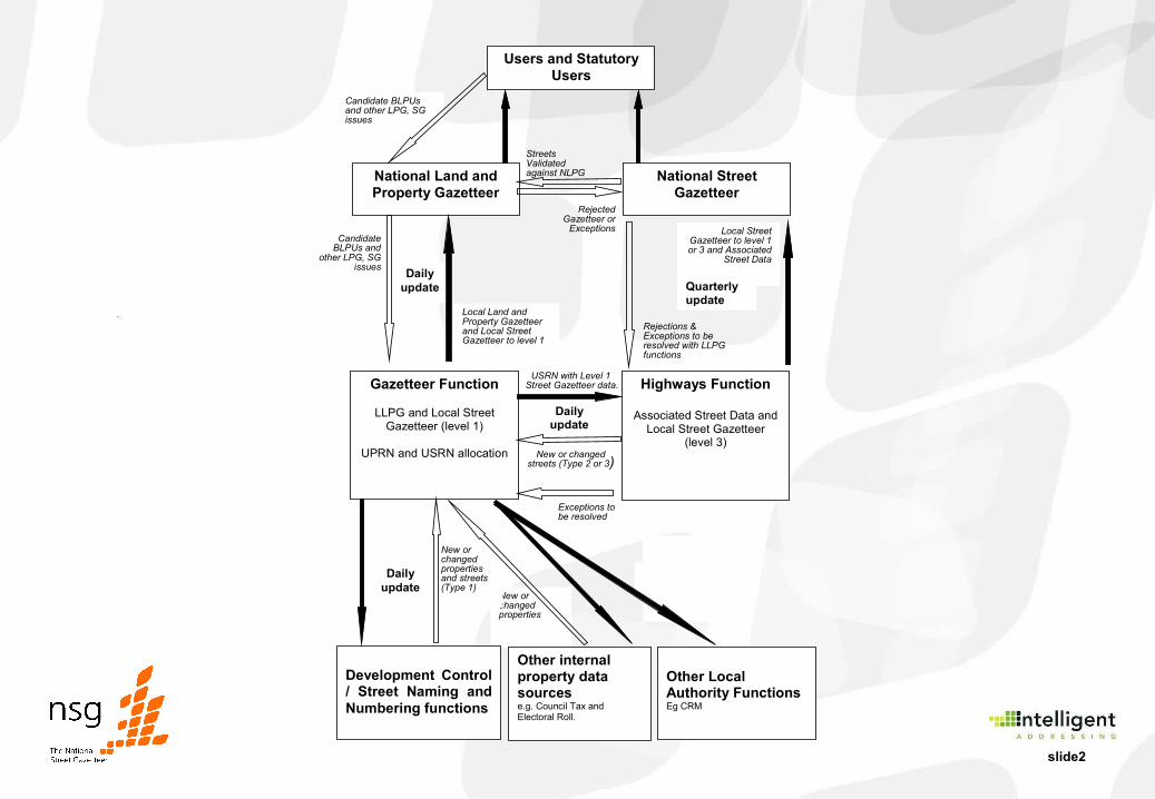
Candidate BLPUs and other LPG, SG issues
Candidate BLPUs and
other LPG, SG issues
Daily update
Local Land and Property Gazetteer and Local Street Gazetteer to level 1
USRN and UPRN
USRN and UPRN
Daily
update
USRN with Level 1 Street Gazetteer data.
New or changed properties
New or changed properties and streets (Type 1)
New or changed streets (Type 2 or 3)
Daily update
Users and Statutory Users
National Land and Property Gazetteer
National Street Gazetteer
Gazetteer Function
LLPG and Local Street Gazetteer (level 1)
UPRN and USRN allocation
Highways Function
Associated Street Data and Local Street Gazetteer
(level 3)
Development Control / Street Naming and Numbering functions
Other internal property data sources e.g. Council Tax and Electoral Roll.
Local Street Gazetteer to level 1 or 3 and Associated
Street Data
Quarterly update
Other Local Authority Functions Eg CRM
Streets Validated against NLPG
Rejected Gazetteer or
Exceptions
Rejections & Exceptions to be resolved with LLPG functions
Exceptions to be resolved
slide3
• NSG created as the framework for street works and associated notices
• Commonly regarded as definitive national street gazetteer, but historically may not include all streets – for example private roads
• Based on BS7666 but with inclusion of additional records types
• NSG web site run on behalf of IDEA since 1999 by the Ordnance Survey
History of the NSG
slide4
• Data collected and supplied to NSG hub by Highway Authorities (172 in England and Wales)
• Access to data restricted to DfT approved list of Statutory Undertakers
• Intelligent Addressing took over from previous concessionaire in November 2005 under the terms of the Mapping Services Agreement (MSA)
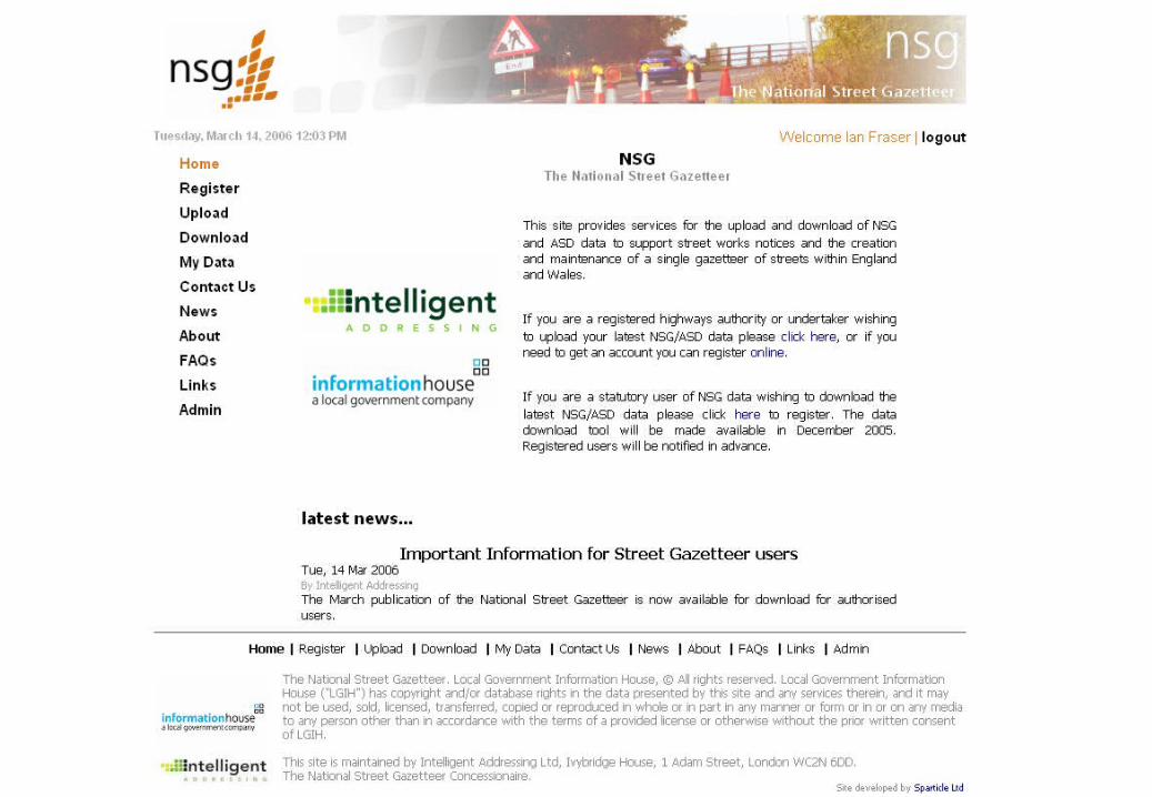
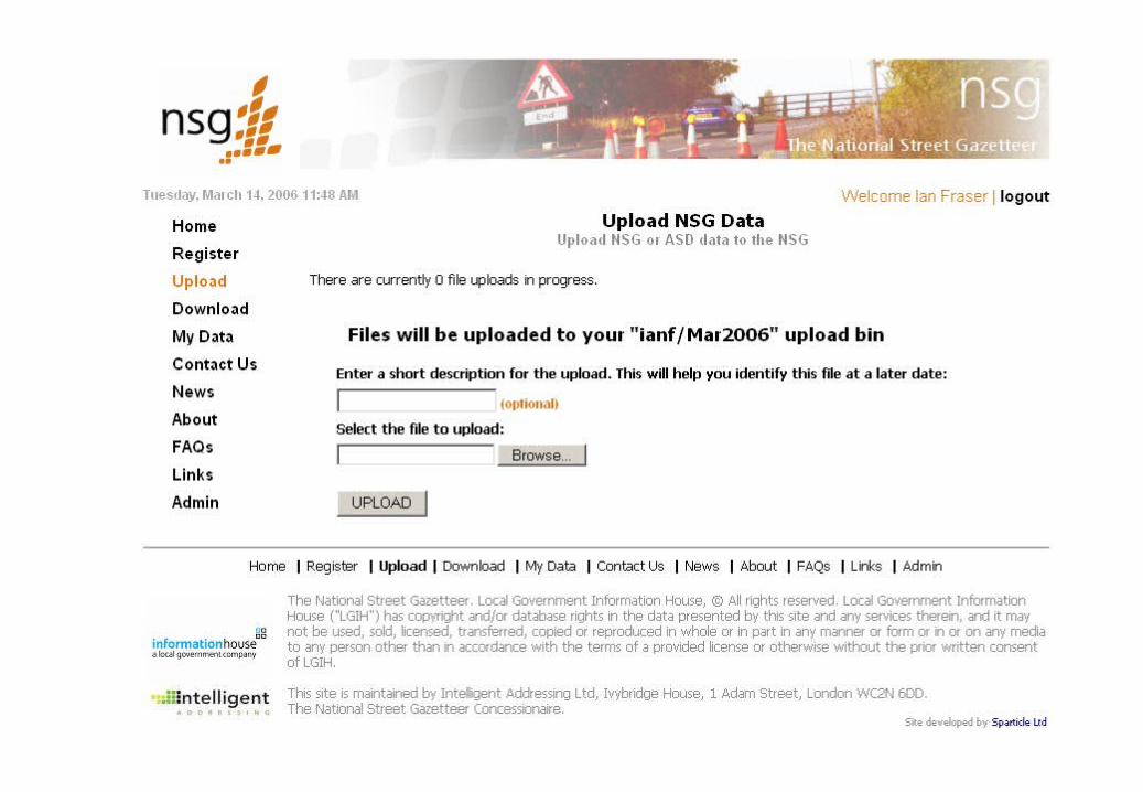
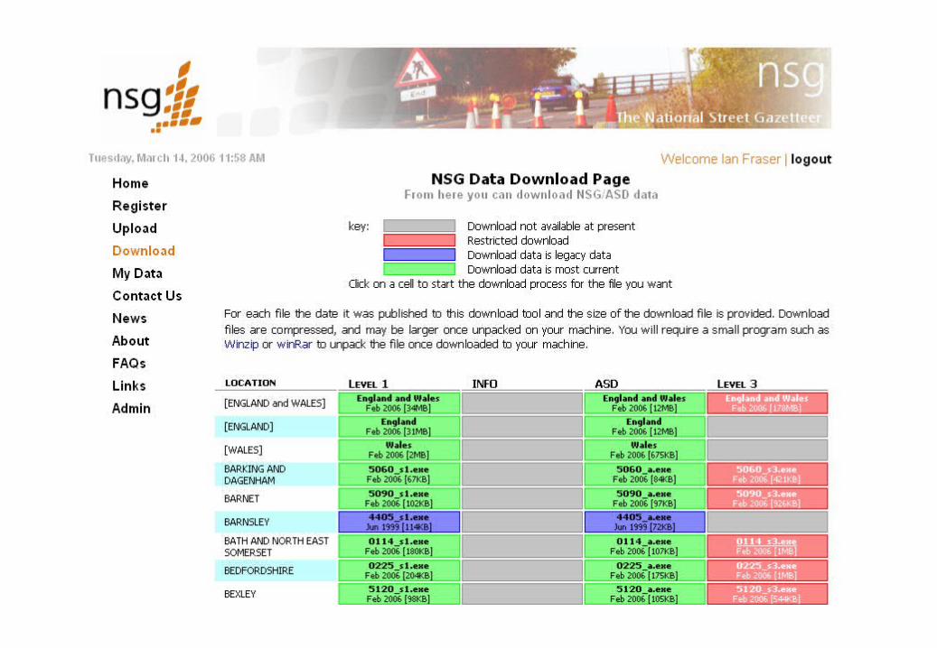
• Obliged to use new URL and redesign site from scratch• Decision made to only allow data to be loaded and
downloaded via website
The NSG website (1)
slide5
slide6
slide7
slide8
• Centralised validation plus help desk to assist in submission
• Under the MSA rules– One username per contributing authority authorised by ALO / LSG
Custodian– No access to non contributing (non highway) authorities– Access to download files for all contributing authorities Bulk
England and Wales files created• Tighter control of access for statutory undertakers
The NSG website (2)
slide9
• Compliance checks (i.e. validation)• Streets• ASD• NLPG / NSG comparison• Co-ordinate accuracy
• Self certification• Report by e-mail• Follow up phone call
The NSG website (3)
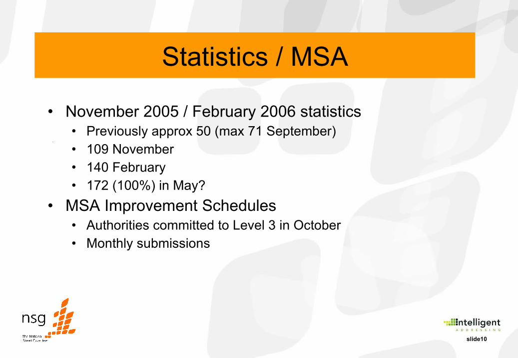
slide10
• November 2005 / February 2006 statistics• Previously approx 50 (max 71 September)• 109 November• 140 February• 172 (100%) in May?
• MSA Improvement Schedules• Authorities committed to Level 3 in October• Monthly submissions
Statistics / MSA
slide11
• BS7666• Language• Logical status• Removal of alias• Removal of version number
• Traffic Management Act• Codes of practice
Future Developments

slide12
Questions?