Embed Size (px)
Citation preview
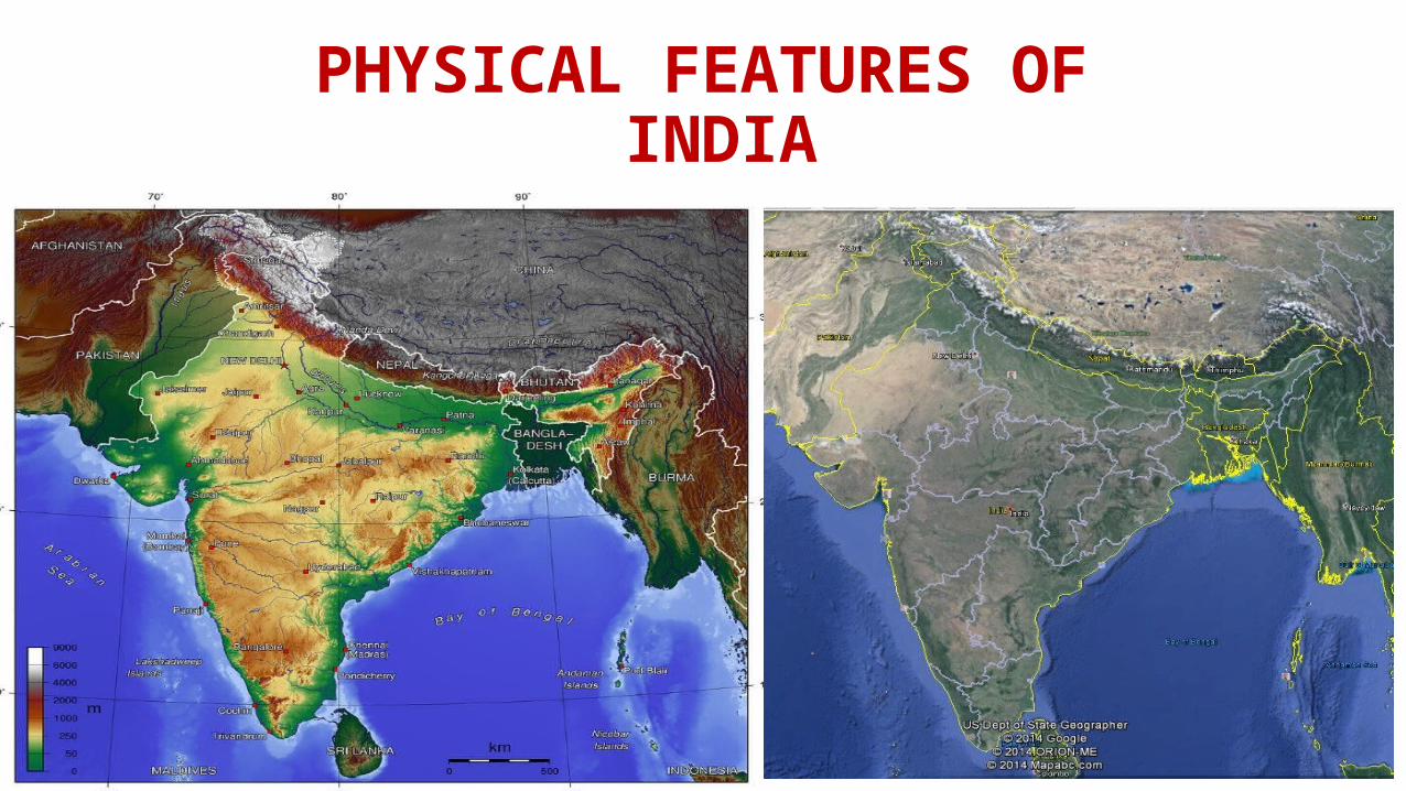
PHYSICAL FEATURES OF INDIA
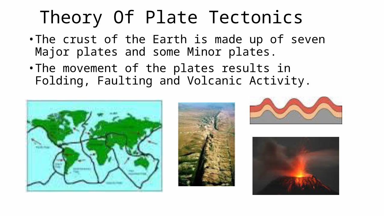
INTRODUCTIONIndia is a large landmass formed during different geological periods which has influencedher relief. Besides geological formations, a number of processes such as weathering, erosion and deposition have created and modified the relief to its present form. Earth scientists have attempted to explain the formation of physical features with the help of some theories based on certain evidences. One such plausible theory is the “Theory of Plate Tectonics”. According to this theory, the crust (upper part) of the earth has been formed out of seven major and some minor plates.The movement of the plates results in the building up of stresses within the plates and thecontinental rocks above, leading to folding, faulting and volcanic activity.
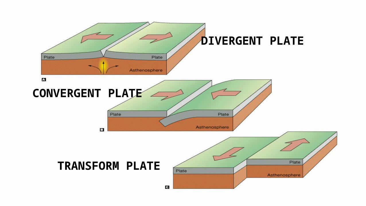
• These plate movements are classified into three types. While some plates come towards each other and form convergent boundary. Some plates move away from each other and form divergent boundary. In the event of two plates coming together they may either collide and crumble, or one may slide under the other. At times, they may also move horizontally past.
• each other and form transform boundary. The movement of these plates have changed the position and size of the continents over millions of years. Such movements have also influenced the evolution of the present landform features of India.
CONVERGENT PLATE
DIVERGENT PLATE
TRANSFORM PLATE
Theory Of Plate Tectonics• The crust of the Earth is made up of seven Major plates and some
Minor plates.• The movement of the plates results in Folding, Faulting and
Volcanic Activity.
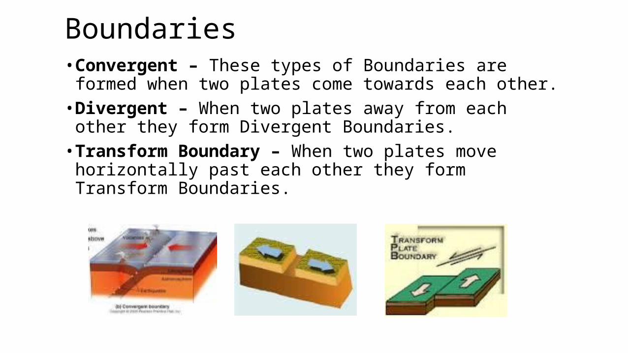
Boundaries• Convergent – These types of Boundaries are formed when two
plates come towards each other.• Divergent – When two plates away from each other they form
Divergent Boundaries.• Transform Boundary – When two plates move horizontally past
each other they form Transform Boundaries.
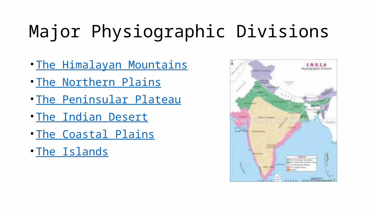
Major Physiographic Divisions
• The Himalayan Mountains• The Northern Plains• The Peninsular Plateau• The Indian Desert• The Coastal Plains• The Islands
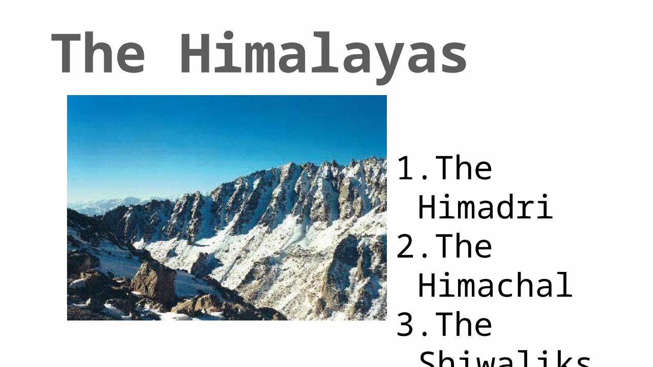
The Himalayas
1.The Himadri
2.The Himachal
3.The Shiwaliks
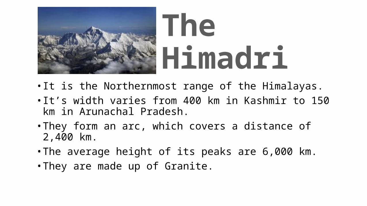
The Himadri
• It is the Northernmost range of the Himalayas. • It’s width varies from 400 km in Kashmir to 150 km in Arunachal
Pradesh.• They form an arc, which covers a distance of 2,400 km.• The average height of its peaks are 6,000 km.• They are made up of Granite.
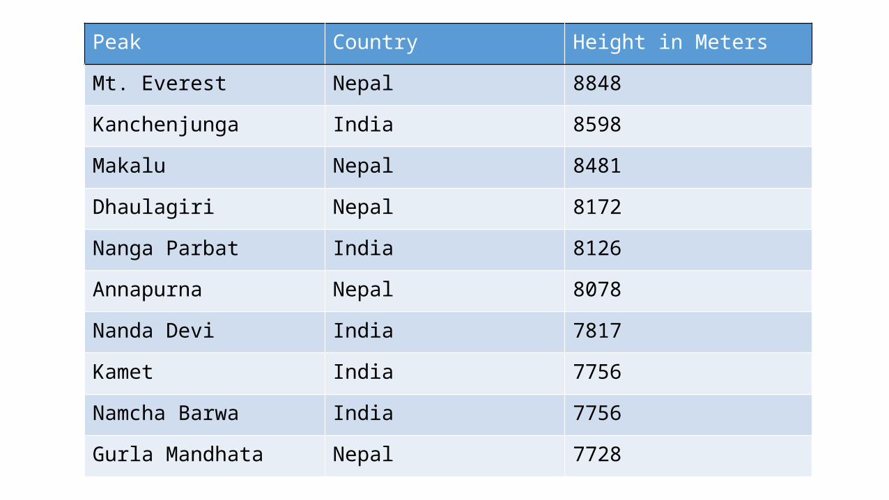
Peak Country Height in Meters
Mt. Everest Nepal 8848
Kanchenjunga India 8598
Makalu Nepal 8481
Dhaulagiri Nepal 8172
Nanga Parbat India 8126
Annapurna Nepal 8078
Nanda Devi India 7817
Kamet India 7756
Namcha Barwa India 7756
Gurla Mandhata Nepal 7728
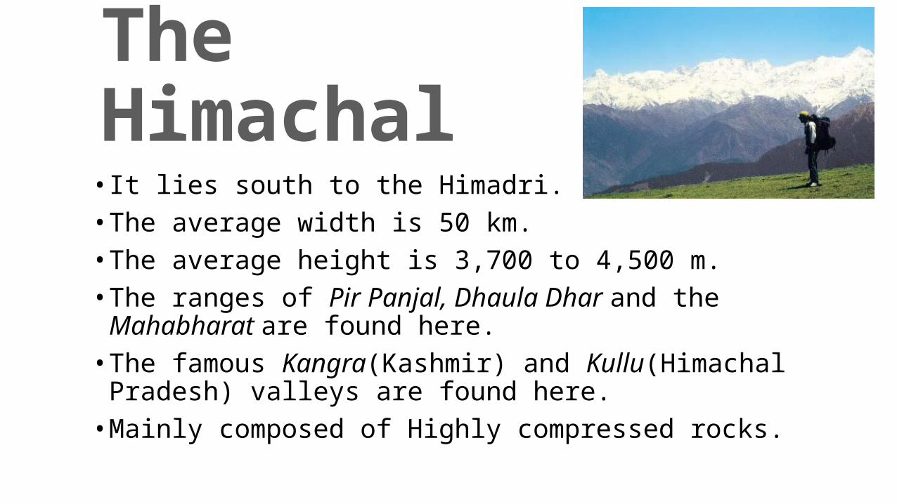
The Himachal• It lies south to the Himadri.• The average width is 50 km.• The average height is 3,700 to 4,500 m.• The ranges of Pir Panjal, Dhaula Dhar and the Mahabharat are
found here.• The famous Kangra(Kashmir) and Kullu(Himachal Pradesh) valleys
are found here.• Mainly composed of Highly compressed rocks.
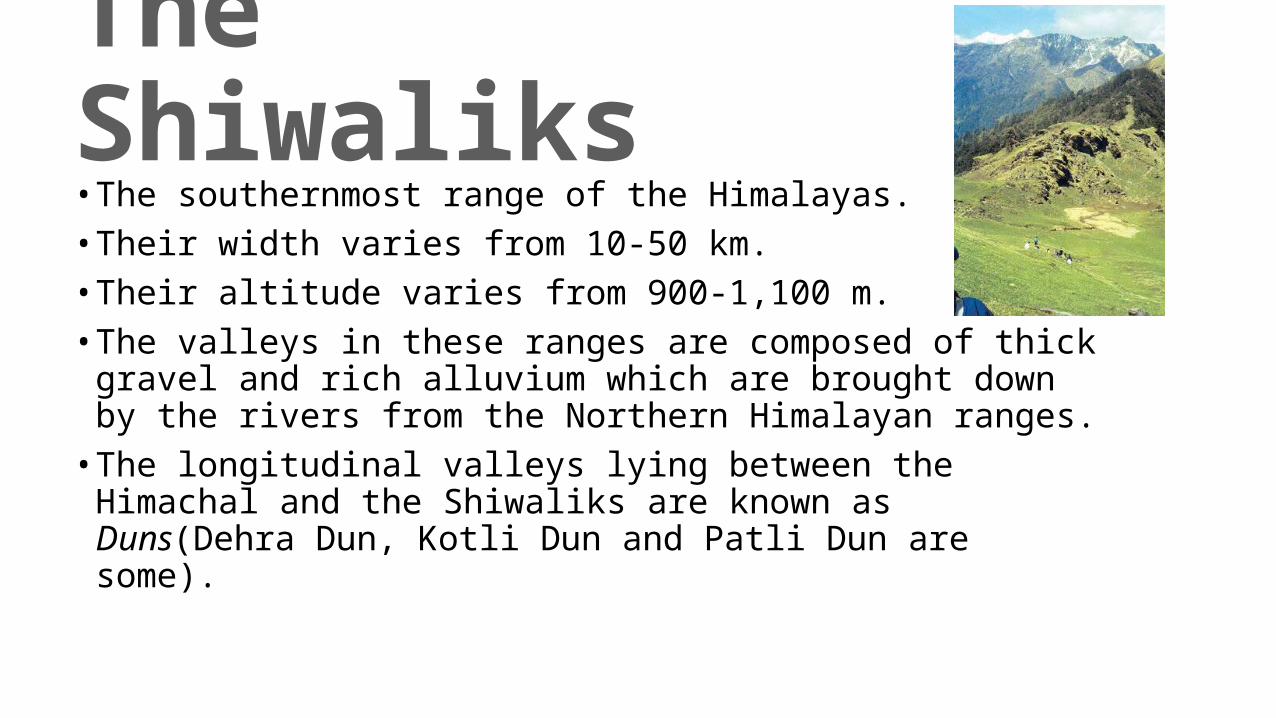
The Shiwaliks• The southernmost range of the Himalayas.• Their width varies from 10-50 km.• Their altitude varies from 900-1,100 m.• The valleys in these ranges are composed of thick gravel and rich
alluvium which are brought down by the rivers from the Northern Himalayan ranges.• The longitudinal valleys lying between the Himachal and the
Shiwaliks are known as Duns(Dehra Dun, Kotli Dun and Patli Dun are some).
Longitudinal Divisions
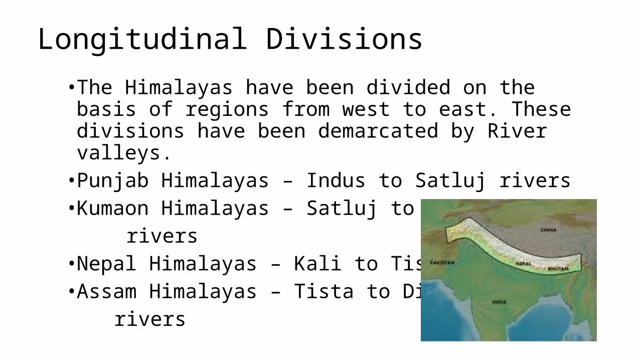
• The Himalayas have been divided on the basis of regions from west to east. These divisions have been demarcated by River valleys.• Punjab Himalayas – Indus to Satluj rivers• Kumaon Himalayas – Satluj to Kali rivers•Nepal Himalayas – Kali to Tista rivers• Assam Himalayas – Tista to Dihang rivers
The Purvanchal
• The Brahmaputra marks the Eastern boundary of the Himalayas.• The Himalayas bend sharply after the Dihang gorge towards the
South and spread along the Eastern boundary of India.• They consist of the Patkai hills, the Naga hills, Manipur hills and
the Mizo hills.• They are covered with dense forests and run parallel to valleys.• They are made up of Strong Sandstones and Sedimentary rocks.
The Northern Plains
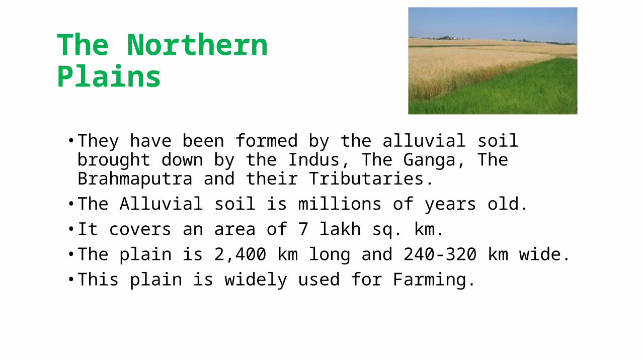
• They have been formed by the alluvial soil brought down by the Indus, The Ganga, The Brahmaputra and their Tributaries.• The Alluvial soil is millions of years old.• It covers an area of 7 lakh sq. km.• The plain is 2,400 km long and 240-320 km wide.• This plain is widely used for Farming.
• The rivers split into numerous Distributaries in their lower courses due to the deposition of silt.• Punjab Plains– Western Northern Plain• Punjab plains are formed by Indus and its Tributaries.• The Ganga Plains – Ghaggar to Tista rivers• Brahmaputra Plains – Assam and Eastern plain
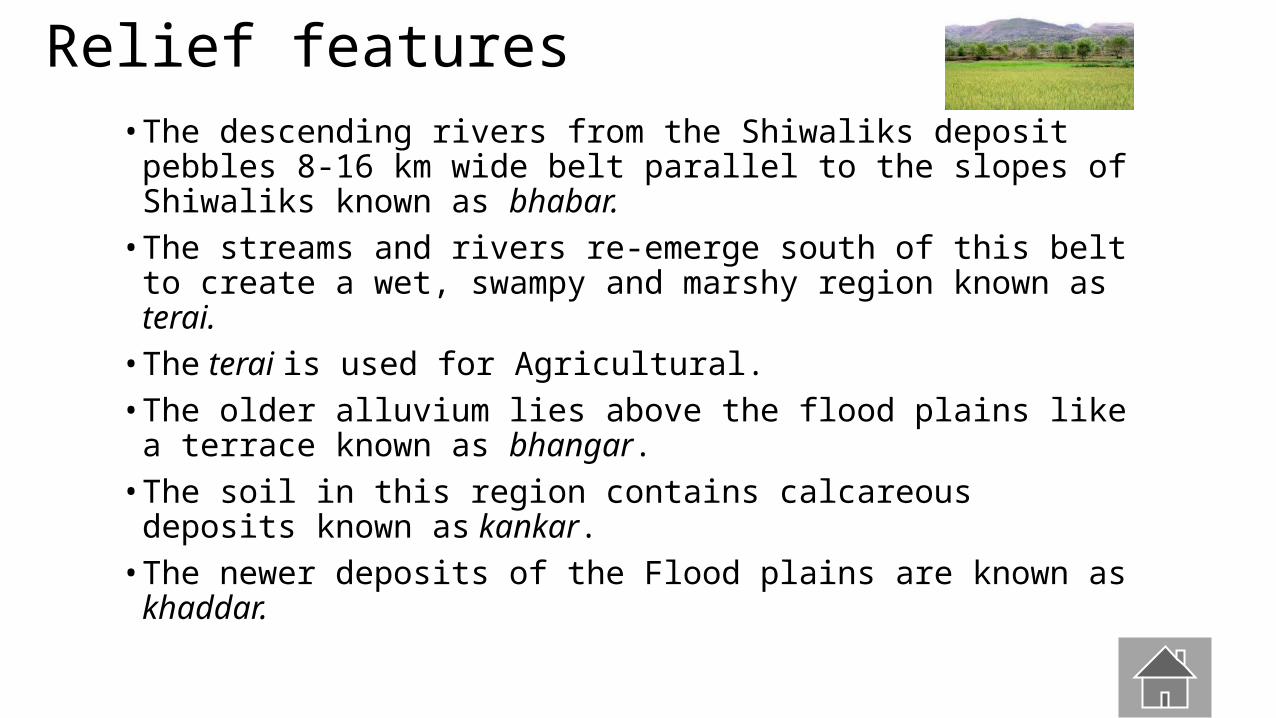
Relief features• The descending rivers from the Shiwaliks deposit pebbles 8-16
km wide belt parallel to the slopes of Shiwaliks known as bhabar.• The streams and rivers re-emerge south of this belt to create a
wet, swampy and marshy region known as terai.• The terai is used for Agricultural.• The older alluvium lies above the flood plains like a terrace
known as bhangar.• The soil in this region contains calcareous deposits known as
kankar.• The newer deposits of the Flood plains are known as khaddar.
The Peninsular Plateau
• The plateau is made up of old crystalline, igneous and metamorphic rocks.• It was formed due to the drifting and breaking of the Gondwana
landmass.• It consists of two broad divisions known as the Central Highlands
and the Deccan Plateau.
The Central Highlands
• Lies north to the Narmada.• The Vindhyan range lies on the south and the Aravalis range lies
on the Northwest.• They are wider in the west but narrower in the East.• The eastward extensions are known as Bundelkhand and
Baghelkhand.• The Chotanagpur plateau marks the further eastward extension,
drained by the Damodar.
The Deccan Plateau
• Triangular landmass south to the Narmada.• The Satpura range in the North and the Mahadev, the Kaimur
hills and the Maikal range in its eastward extension.• Higher in the west and slopes gently eastwards.• Meghalaya, Karbi-Anglong plateau and North Cachar hills form
the Northwest extension.• Separated from the Chotanagpur plateau by a fault.• Three prominent ranges from west to east are the Garo, the
Khasi and the Jaintia Hills.
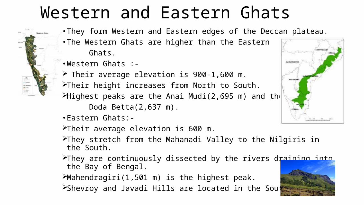
Western and Eastern Ghats• They form Western and Eastern edges of the Deccan plateau.• The Western Ghats are higher than the Eastern Ghats.• Western Ghats :- Their average elevation is 900-1,600 m.Their height increases from North to South.Highest peaks are the Anai Mudi(2,695 m) and the Doda Betta(2,637 m).• Eastern Ghats:- Their average elevation is 600 m.They stretch from the Mahanadi Valley to the Nilgiris in the South.They are continuously dissected by the rivers draining into the Bay of Bengal.Mahendragiri(1,501 m) is the highest peak.Shevroy and Javadi Hills are located in the Southeast.
Extra Features
• The Peninsular plateau has black soil known as the Deccan Trap.• They are made up of Igneous rocks.• The Aravalis range form the North and Northwestern margins.• They are highly eroded hills and extend from the Gujarat to Delhi.
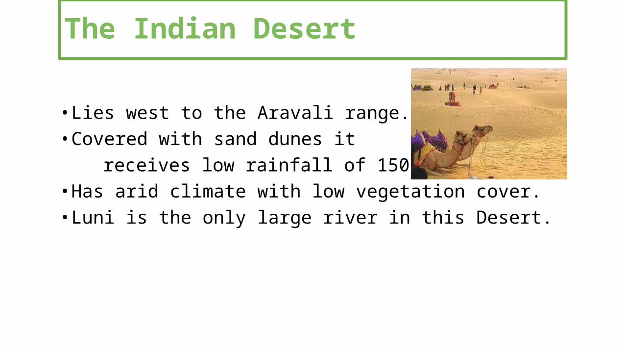
The Indian Desert
• Lies west to the Aravali range.• Covered with sand dunes it receives low rainfall of 150 mm per year.• Has arid climate with low vegetation cover.• Luni is the only large river in this Desert.
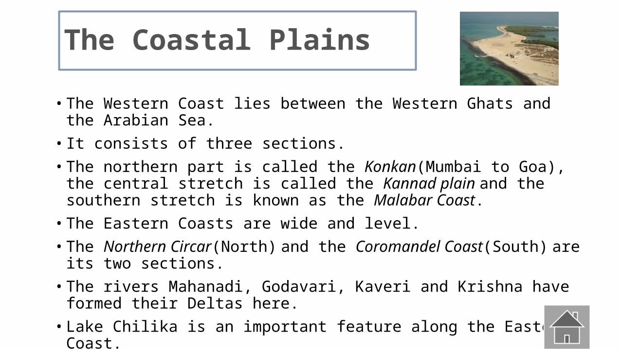
The Coastal Plains
• The Western Coast lies between the Western Ghats and the Arabian Sea.• It consists of three sections.• The northern part is called the Konkan(Mumbai to Goa), the central stretch is
called the Kannad plain and the southern stretch is known as the Malabar Coast.• The Eastern Coasts are wide and level.• The Northern Circar(North) and the Coromandel Coast(South) are its two sections.• The rivers Mahanadi, Godavari, Kaveri and Krishna have formed their Deltas here.• Lake Chilika is an important feature along the Eastern Coast.
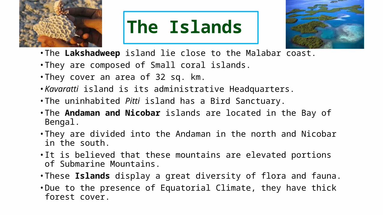
The Islands• The Lakshadweep island lie close to the Malabar coast.• They are composed of Small coral islands.• They cover an area of 32 sq. km.• Kavaratti island is its administrative Headquarters.• The uninhabited Pitti island has a Bird Sanctuary.• The Andaman and Nicobar islands are located in the Bay of Bengal.• They are divided into the Andaman in the north and Nicobar in the
south.• It is believed that these mountains are elevated portions of Submarine
Mountains.• These Islands display a great diversity of flora and fauna.• Due to the presence of Equatorial Climate, they have thick forest cover.