Embed Size (px)
Citation preview
The Geographer’s ToolsThe Geographer’s ToolsChapter 2, Section 2Chapter 2, Section 2
1.Maps and Globes
a.Globe
• A three dimensional representation of the earth
• Most accurate
• Not practical for storing in your pocket
a.Map
• Two dimensional representation of the earth
• Portable, but distortion occurs
• A cartographer is a mapmaker
2. The Science of mapmaking
• What is used in making the map?
b.Surveying
• Examining the area to be mapped. This typically involves the use of…
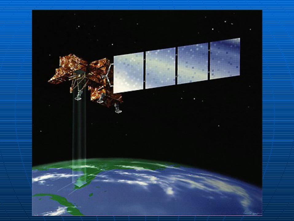
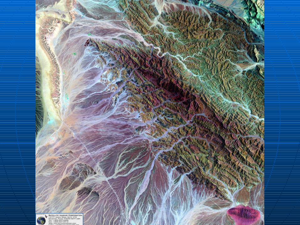
c.Satellites
• Landsat and Geostationary Operational Environment Satellites (GOES) scans the earth and its terrain.
• Geographic Information Systems stores all the various data