Embed Size (px)
Citation preview
Visualizing and Exploring Linked Spatiotemporal Data using Sextant
Linked Data Europe: Tools and Applications
March 21st, 2014, Athens, Greece
Konstantina Bereta, Kallirroi Dogani, George Garbis, Manos Karpathiotakis, Kostis Kyzirakos, Charalampos Nikolaou, Manolis Koubarakis
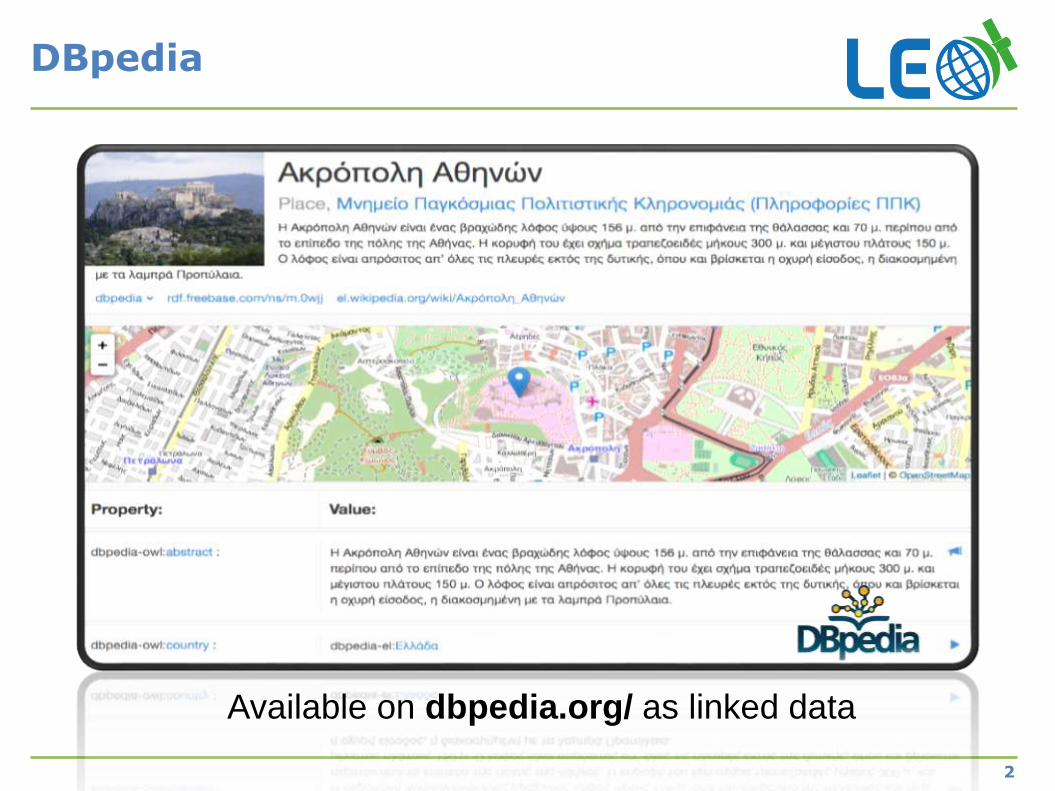
DBpedia
2
Available on dbpedia.org/ as linked data
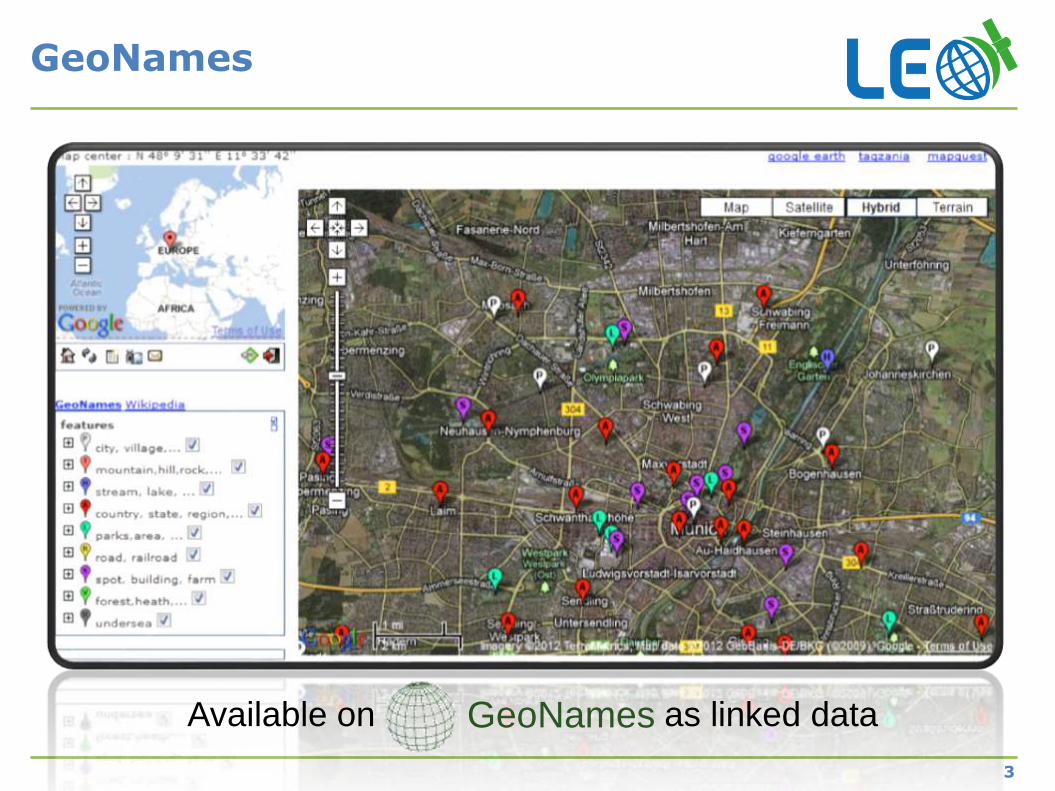
GeoNames
3
GeoNamesAvailable on as linked data
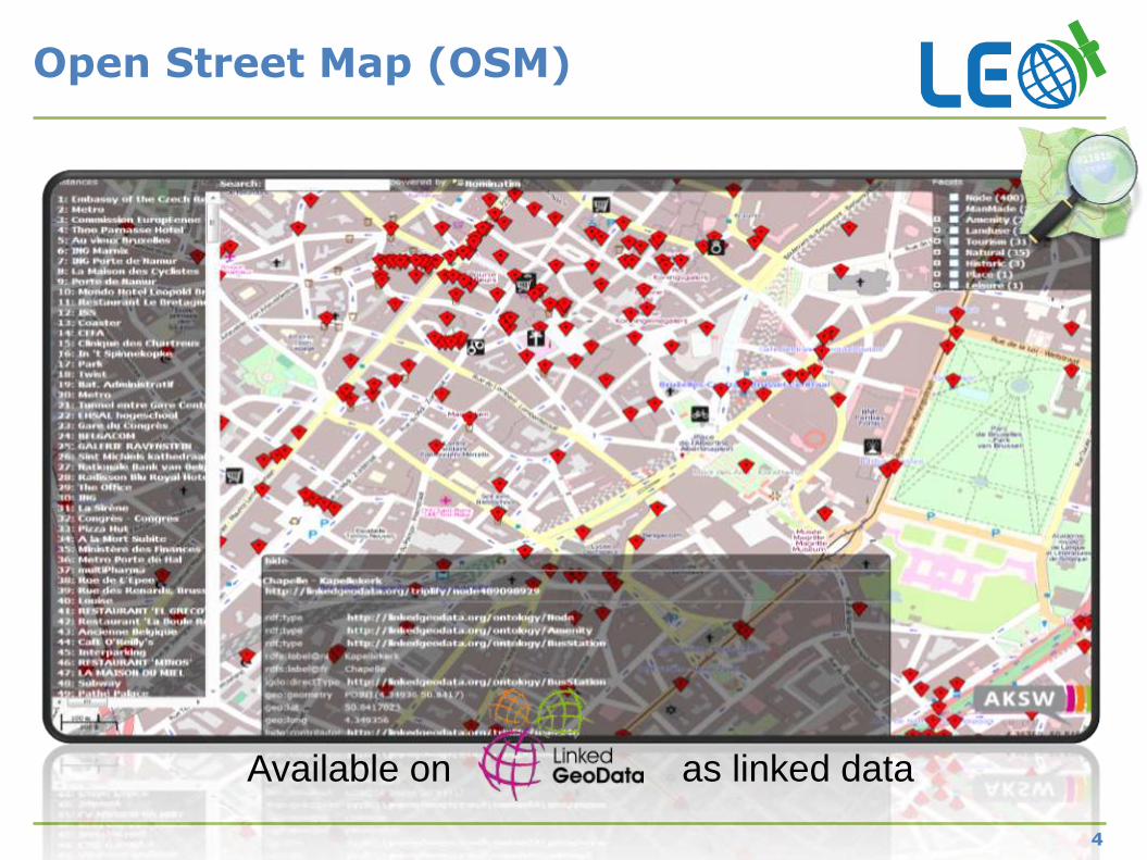
Open Street Map (OSM)
Available on as linked data
4
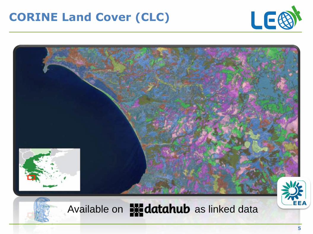
CORINE Land Cover (CLC)
Available on as linked data
5
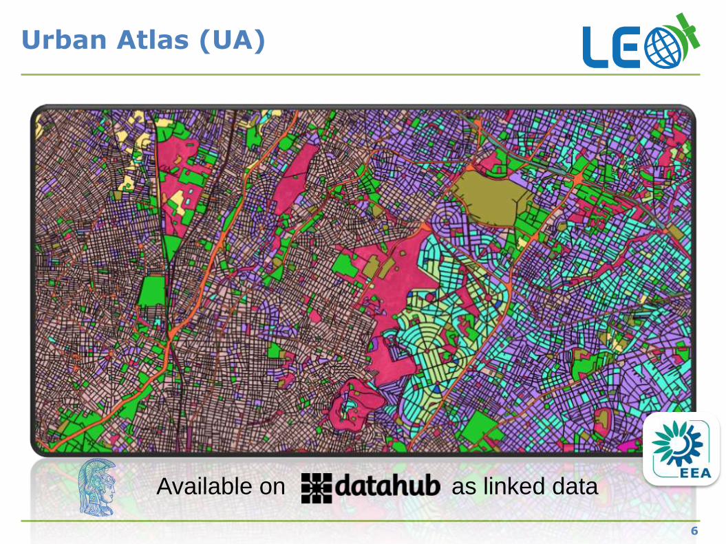
Urban Atlas (UA)
Available on as linked data
6
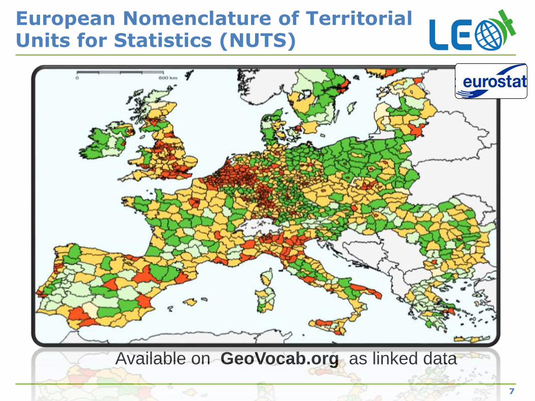
European Nomenclature of Territorial Units for Statistics (NUTS)
7
Available on GeoVocab.org as linked data
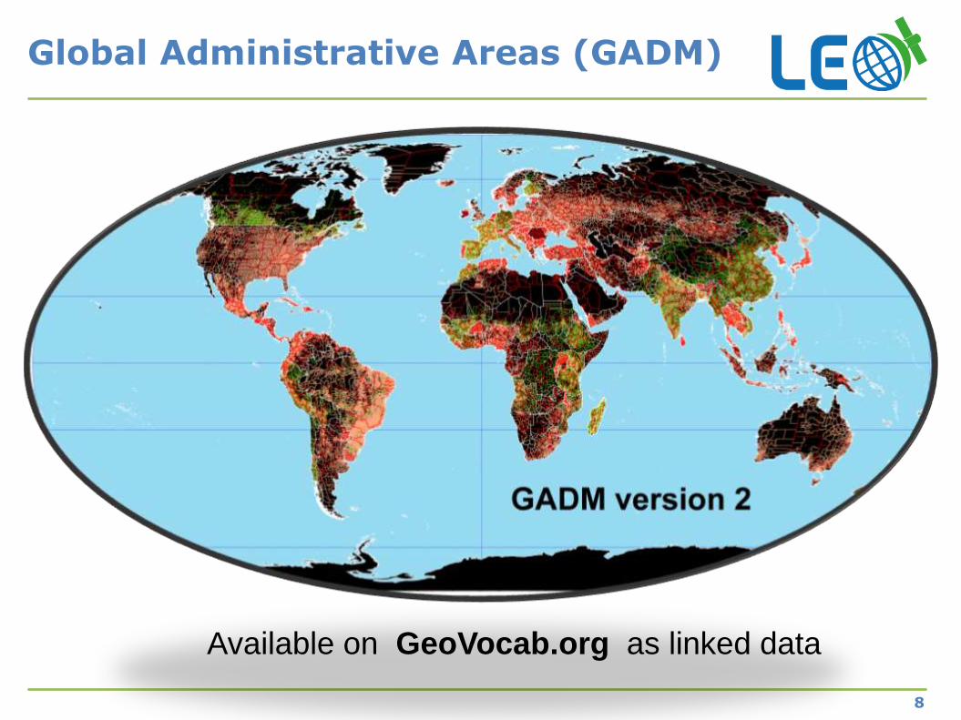
Global Administrative Areas (GADM)
8
Available on GeoVocab.org as linked data
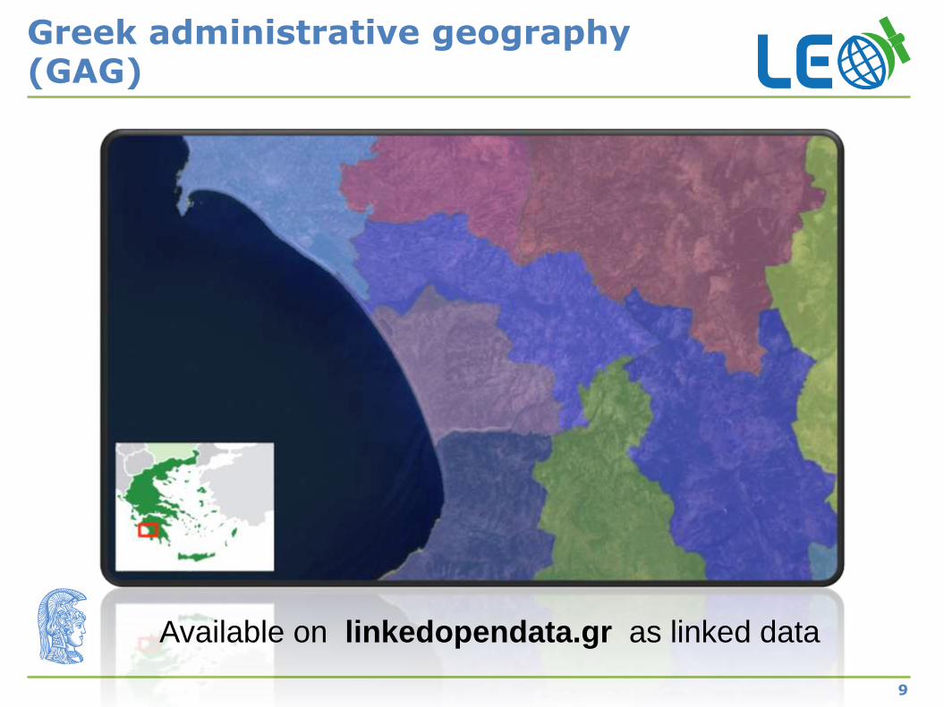
Greek administrative geography (GAG)
9
Available on linkedopendata.gr as linked data
10
Where is the temporal dimension?
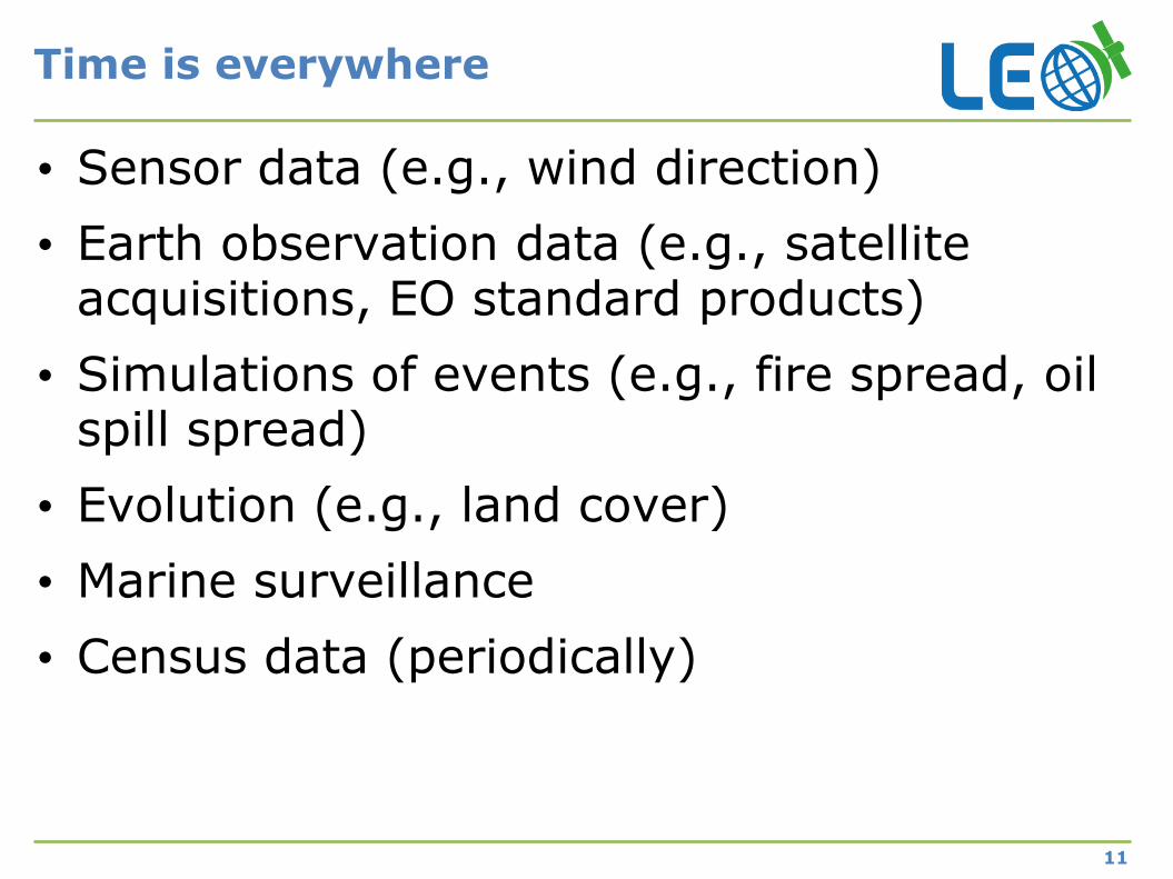
Time is everywhere
11
• Sensor data (e.g., wind direction)
• Earth observation data (e.g., satellite acquisitions, EO standard products)
• Simulations of events (e.g., fire spread, oil spill spread)
• Evolution (e.g., land cover)
• Marine surveillance
• Census data (periodically)
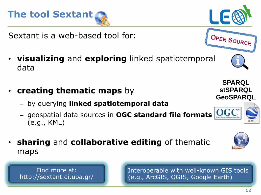
The tool Sextant
12
Sextant is a web-based tool for:
• visualizing and exploring linked spatiotemporal data
• creating thematic maps by
– by querying linked spatiotemporal data
– geospatial data sources in OGC standard file formats(e.g., KML)
• sharing and collaborative editing of thematic maps
SPARQLstSPARQL
GeoSPARQL
Find more at:http://sextant.di.uoa.gr/
Interoperable with well-known GIS tools(e.g., ArcGIS, QGIS, Google Earth)
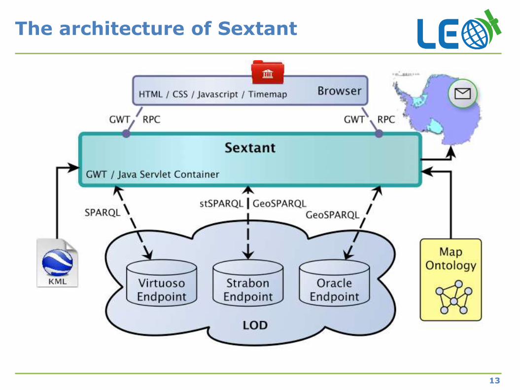
The architecture of Sextant
13
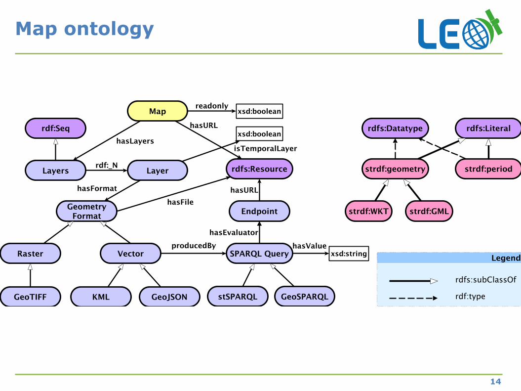
Map ontology
14
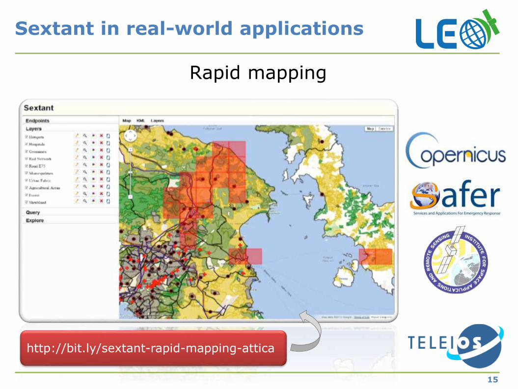
Rapid mapping
Sextant in real-world applications
15
http://bit.ly/sextant-rapid-mapping-attica
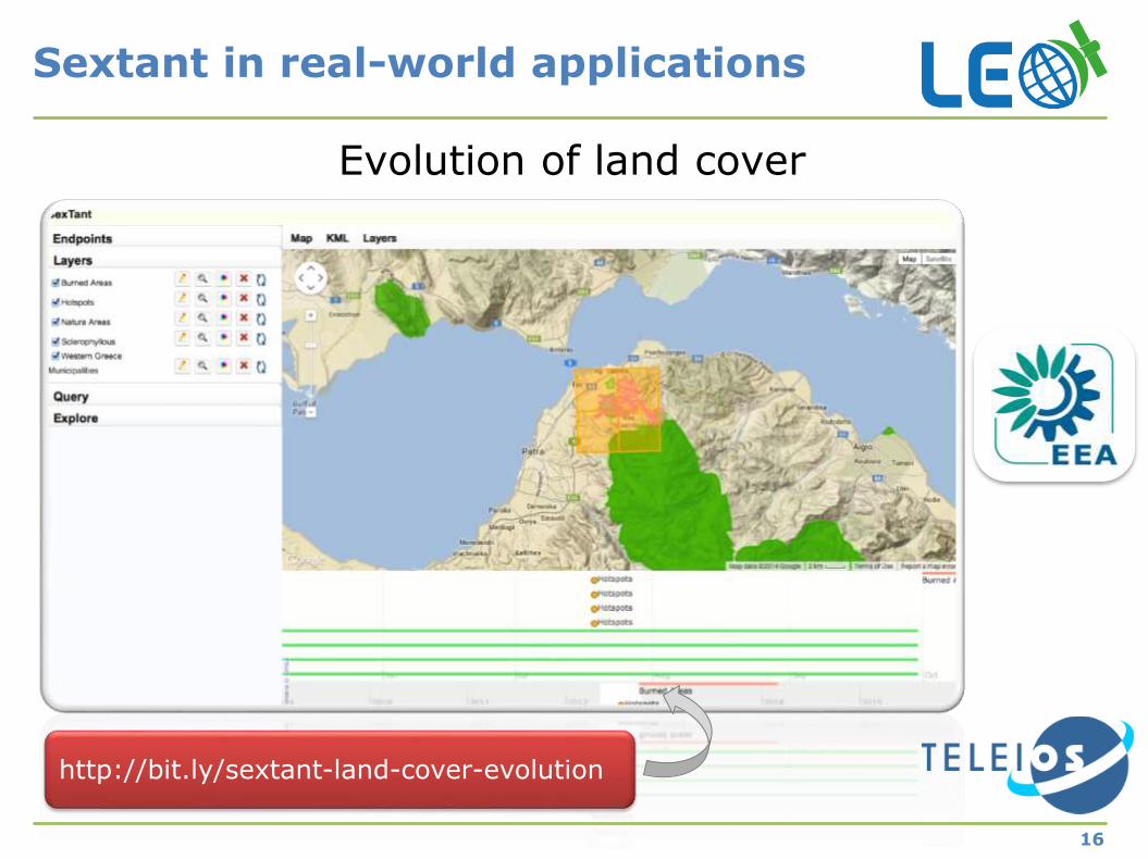
Sextant in real-world applications
16
Evolution of land cover
http://bit.ly/sextant-land-cover-evolution
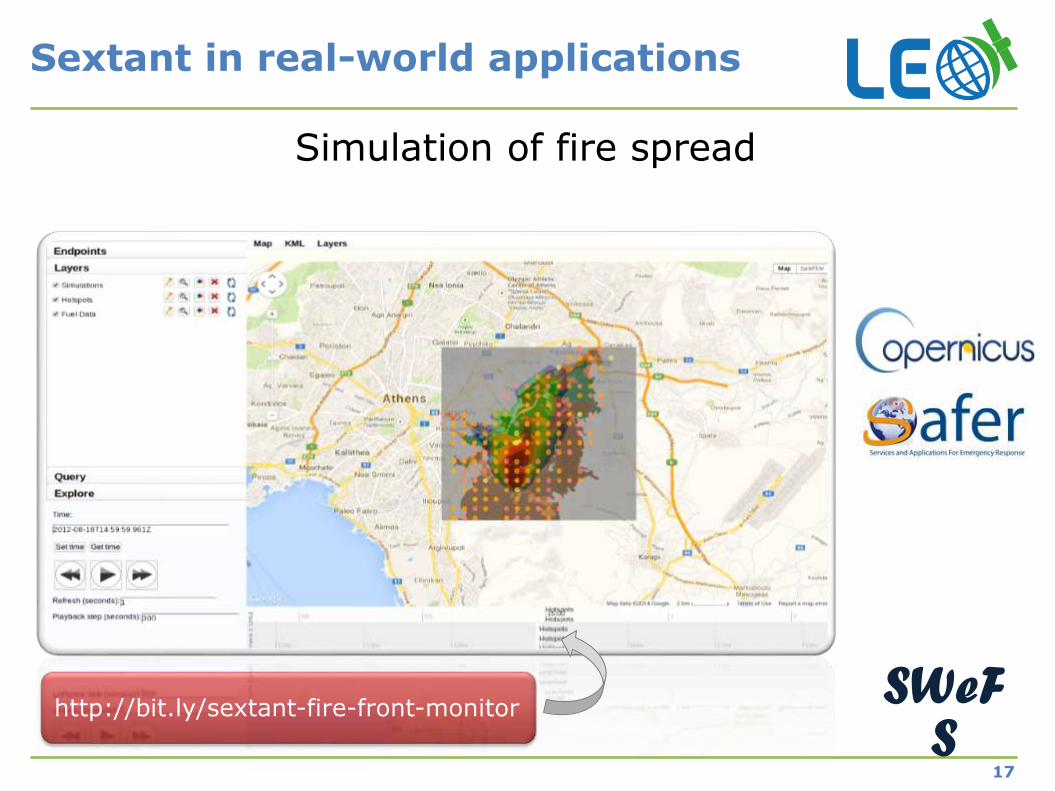
Sextant in real-world applications
17
Simulation of fire spread
SWeFS
http://bit.ly/sextant-fire-front-monitor
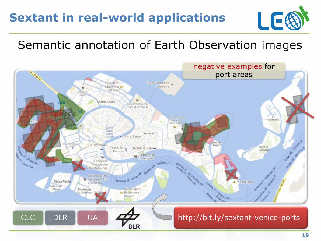
Sextant in real-world applications
18
Semantic annotation of Earth Observation images
CLC DLR UA
negative examples for port areas
http://bit.ly/sextant-venice-ports
Sextant is being extended
19
Map registry
Legend information
Production of statistical maps
Development of appropriate interfaces for mobile platforms
Query builder integration
Support of more file formats: ESRI shapefiles, JPEG JFIF, FITS, etc.
Thanks
20
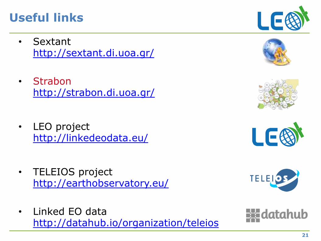
Useful links
21
• Sextanthttp://sextant.di.uoa.gr/
• Strabonhttp://strabon.di.uoa.gr/
• LEO projecthttp://linkedeodata.eu/
• TELEIOS projecthttp://earthobservatory.eu/
• Linked EO datahttp://datahub.io/organization/teleios