Embed Size (px)
Citation preview

Understanding Regional Geography
IREL204

Regions• Like all concepts in Geography, Regions are human
constructs. They are basic units in the study of Geography, that help us look at spatial extents.
• We conceptualize regions so we can:
– organize phenomena spatially– Understand patterns and make generalizations based on
the spatial organization of phenomena– This spatial organization is based on unique characteristics
– What can be organized this way? • People• Places• Things/Activities• Ideas

Conceptualizing Regions• How do we conceptualize regions?
– Special or unique criteria identify regions– These criteria can be:• Spatial (a particular location on the earth’s surface)
– Boundaries that delimit spaces• Physical
– Climate, Vegetation• Cultural:
– Like Language, or Religion, or Cultural Practices• Economic:
– Like Agriculture, Industry

How do we identify Regions?• We construct categories that help us identify, classify,
categorize regions.
• These three categories are not mutually exclusive – How we define something has much to do with what we are
looking for or why we want to look for it• So we can look at a very small “snapshot” of an area, or look at
quite large territorial expanses, and both are considered regions• We can look at Regions as “Worlds within Worlds”
– The Onion Metaphor; Contextual reality, like peeling back layers of onion
1. Formal2. Functional3. Perceptual

Formal Regions• A region is formal when its characteristics are:– relatively uniform, or homogeneous
• When those characteristics make it: – distinct from other regions – give it a cohesiveness that sets it apart from other
places– More similarities exist within the region than
between the region and someplace else– Often defined by administrative boundaries• (like official country borders, for example)• Because regional boundaries are not open to dispute,
physical regions (like mountains, plains, forests, etc, fall in this category)– Example: The Amazon Rainforest, The Alps, The Great Lakes

Example of Formal Regions• Remember we use many criteria to identify these categories:• Formal Regions can be purely locational, characterized by some
aspect relating to their location:• Example: Western Pacific, the Balkans, the Middle East
• Formal Regions can also be based on one criterion or multiple criteria: • The European Union covers a wide spatial extent of
linguistically, culturally, religiously, industrially and politically diverse territory. It is a formal region not because there are language similarities, or religious similarities, or cultural similarities, but because it is a conceptual union of (primarily) distinct, homogeneous and cohesive economic activity. The Union is also working towards political uniformity and cohesiveness by devising a European Constitution. So even though many cultural, economic, and even physical variations exist within the region, the ‘organizing’ characteristic that defines it as a formal region is primarily economic, and (soon to be?) political.

Functional Regions• A functional region is an area that does something –
performs a function over a particular space• This function can be relatively uniform or nodal
(spatial interaction) in its distribution
• Uniform distribution of a function (or utility) is when a particular characteristic is spread (relatively) consistently and with the same concentration across the entire region;– Example: Physical criterion: Climate – Example: Economic criterion: the Euro– Example: Cultural criterion: English-speaking countries
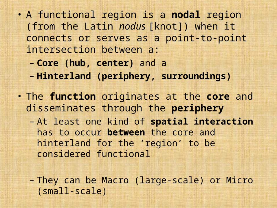
• A functional region is a nodal region (from the Latin nodus [knot]) when it connects or serves as a point-to-point intersection between a:– Core (hub, center) and a – Hinterland (periphery, surroundings)
• The function originates at the core and disseminates through the periphery– At least one kind of spatial interaction has to occur
between the core and hinterland for the ‘region’ to be considered functional
– They can be Macro (large-scale) or Micro (small-scale)

Examples of Functional Regions• A city-transit system (like the Metro):
– Syntagma is the central, or ‘core’ station from which all other lines originate and travel outward to the periphery
• Newspaper circulation: – National newspapers, printed at the core (hub of town, typically)
disseminated throughout the country• Malls
– Centralized core of commercial activity, all surrounding regions serviced by the shopping center
• Ports – Act as the hub, core, center of shipping activity, imports, exports, trading that
service the entire surrounding areas, entire country
• A Metro Area (MA) is a good example:– Metro Areas are large population centers
• major cities in an area with their surrounding zones– They are often the core of political, economic, and cultural activity that
spreads out to the surrounding areas• Government centers for example• Commuting patterns (people who work in the city, live outside the city)• Recreation (theaters, stadiums, concert halls, etc)

Perceptual Regions
A region is perceptual when it reflects shared, human attitudes about an area– Because it reflects human attitudes, it is a
‘subjective’ snapshot of a particular area – May often bear bias, prejudice embedded in the
way we conceptualize particular areas– Often considered to be actual spatial units, even
though:• they typically have no specific or clearly defined
borders • no official (formal, i.e., collectively and administratively
agreed) name for the area

Examples of Perceptual Regions• The Balkans: “Powder Keg” of Europe– Political: References the political tensions linked to
linguistic, religious, and often ethnic considerations in the rise of nation-states and the fight for political self-determination in the Balkans of the 19th century
• The Bible Belt– Religious/Cultural: References the socially conservative
religious beliefs of inhabitants of the Southern/Southeastern United States
• What examples can you think of?

Worlds within Worlds• Generalizing about the world in terms of regions helps
us classify the vast information we have about the world in categories that we can compare and contrast
• Regionalization is sometimes necessary in order to differentiate people, places, events so that we can study them better.
• Regions are transitive – they are subject to change over time, because borders are renegotiated, political systems or regimes rise and fall, migratory patterns, language diffusion and religious dissemination can all change the “nature” or “character” of a place

Extended Application• Think of Africa, one of the seven continents
• It is the second largest land mass on Earth after Asia
• It has a population of roughly a billion• Comprised of 53 countries• About 1/3 of the world’s languages are located in
Africa
• Do you consider it one uniform region?– Why? What criteria would you use to describe its uniformity?– Why not? What criteria would you use to describe its variations?

SUB-SAHARAN AFRICA NORTH AFRICA
Physical Criteria Physical Criteriagreater variety more drySahara desert provides a large, strong, sparsely populated border
Sahara desert provides a large, strong, sparsely populated border
Cultural Criteria Cultural Criteriagreat variety of languages (1/3 of all languages are in Africa)
Mostly Arabic
predominately Christian and local religions Mostly Islam
predominately Black African predominately Caucasian
political criteria not useful since realm boundary cuts through several countries
political criteria not useful since realm boundary cuts through several countries
Economic Criteria Economic Criteriasubsistence agriculture nomadic herdingshifting cultivation subsistence agriculture
| oil
Historical Criteria Historical CriteriaWest African culture hearth Nile River culture hearth
| part of Ottoman Empire
European colonization occurred in both realms European colonization occurred in both realmsSource: Healy, Mark (2009) Harper College

Thinking about Current Events• Typhoon Ketsana
– List the countries that were hit by Typhoon Ketsana.– Use the interactive GoogleEarth tool to find their coordinates (
http://itouchmap.com/?r=googleearth)• You may have to download the GoogleEarth Plugin
– Plot points for the affected countries where Ketsana hit. – What common physical characteristics do you see in their locations?
• Hint: Use the Find Location tab to lookup the countries, they will automatically be plotted on the map.
• Typhoon Parma– List the countries that were hit by Typhoon Parma.– Use the tracker to view the course of Typhoon Parma (here) (
http://www.wunderground.com/tropical/tracking/wp200919_flashtool.html?extraprod=flashtool&MR=1)• Move your cursor over the plotted points on the map; points will show the
latitudinal & longitudinal points of the storm’s progression.– What is the coordinate range of Typhoon Parma?– What common physical characteristics do you see in their locations?

Regional Analysis
• What part of the world did Ketsana hit? What part of the world did Typhoon Parma hit?
• (East or West? North or South? Continent? Region? Sub-region?)
• Consult the Köppen-Geiger Climate Classification Map.
• Use the map key to find the Letter Designation for the region.
• What type of climate characterizes the region? • What is the latitude and longitude range for this
climate?

Philippines
Laos
CambodiaVietnam