Embed Size (px)
Citation preview

Tropical Rain Forest
Humid

Marine West Coast
Humid Climate

Low Latitude Desert
Arid

Northern Continental Climate
Sub-Humid

Mid- Latitude Grassland
Semi-Arid

High Latitude Tundra
Arid/Semi-Arid
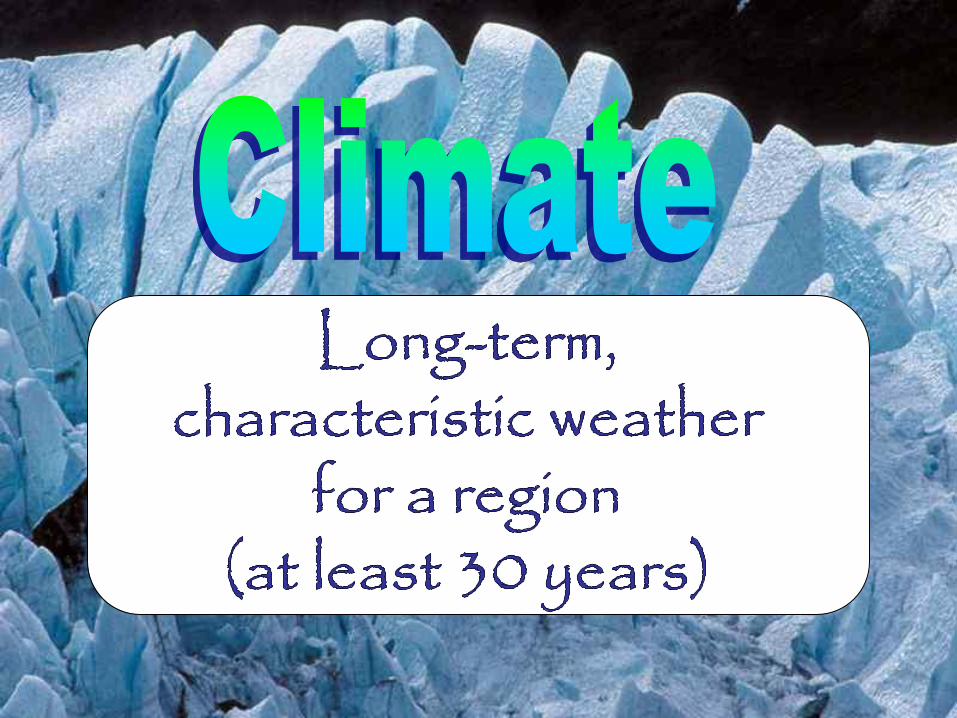

The classification of
climate is based on
annual and monthly
averages of
1.
2.
TEMPERATURE
PRECIPITATION


How does latitude
affect climate?
As latitude ________, the average
annual temperature _________.
0° Latitude 90°
Tem
pe
ratu
re
decreases increases

increases increases
J F M A M J J A S O N D
Tem
pe
ratu
re
High Latitude
Mid-Latitude
Low Latitude
INCREASES
INCREASES


How does closeness to a large
body of water affect climate?
Water __________ the temperature.
_______ summers. _______ winters.
Which city is closer to a
large body of water?
How does the shape of the
temperature curve help to
identify the coastal city?
Its temperature line is flatter
(moderated).
moderates
Cities A & B are located
at the same latitude.
Cooler Warmer
City B

Marine vs. Continental
• Since land gains and loses heat much
more quickly than water, land areas tend
to have cooler summers and warmer
winters.
• Coastal areas near the ocean have cooler
summers and milder/warmer winters.


Coastal areas have __________________ with a
_______yearly temperature range.
marine climates small

Land areas have
__________________ with a
_________ yearly
temperature range.

X Y Continental
Marine
Large yearly temp. range
Small yearly temp. range

Page 14 of the
ESRTs
We live in the
troposphere.
Temperature
decreases
with elevation.

Low elevation
has a
______________
average yearly
temperature
High Elevation
has a
_____________
average yearly
temperature
Lower
Higher

How does elevation affect climate?
As elevation _________, the average
annual temperature __________.
Elevation
Tem
pera
ture
increases
decreases


The windward sides of the
Adirondacks & Catskills
receive a great deal more
precipitation
The leeward
sides of the
Adirondacks &
Catskills
receive much
less
precipitation

How does the
Orographic Effect
affect climate?
Windward Side: ___________
Air is: __________
Leeward Side: _____________
Air is: __________
cool, moist
warm, dry
rising
sinking

Prevailing Winds and Planetary Wind Belts
• Nearness to the ocean is no guarantee of rainfall.
•Where prevailing winds blow from the ocean,
the areas closest to the ocean generally receive
more rain.
•Prevailing winds that blow from the interior
of a continent bring less rain to a region.

Prevailing Winds and Planetary Wind Belts
• Rainfall Factors:
a) Uneven heating of the Earth produces global wind belts and
pressure belts.
b) Pressure belts determine the wetness or dryness of a
location.
ii. Low pressure regions occur where air is rising.
iii. Rising air cools and expands (RACE), which causes
condensation and precipitation to occur.
iv. Thus, low pressure regions are areas of rainfall (wetness),
and high pressure areas are areas that lack rainfall
(dryness)

Prevailing Winds and Planetary Wind Belts
1) What latitudes are areas of
rainfall/wetness?
________________________
2) What latitudes are areas
that lack rainfall, or are dry
latitudes?
________________________
0o (equator), 60o N,S
30o N,S and 90o N,S

Ocean currents may make the climate of a coastal region
warmer or colder than normal for its latitude.


How do ocean currents affect climate?
Warm Currents: warmer climate
Cold Currents: cooler climate