Embed Size (px)
Citation preview

Raj Jain
1
GPS: Applications to DistributedGPS: Applications to DistributedSystems and NetworksSystems and Networks
Raj JainRaj JainThe Ohio State UniversityThe Ohio State University
Columbus, OH 43220Columbus, OH [email protected]@ACM.Org
http://www.cis.ohio-state.edu/~jain/ http://www.cis.ohio-state.edu/~jain/
Mr. Simpson!Where were you
at 11:00PMlast night?
I was at 110 N 120 W 20 High (Airport) at 11:00PM. Here is my GPS log.
Simpson

Raj Jain
3
❑ Principles of operation
❑ Current applications
❑ Potential applications
❑ Obstacles
❑ Current products and manufacturers
Overview
Raj Jain
4
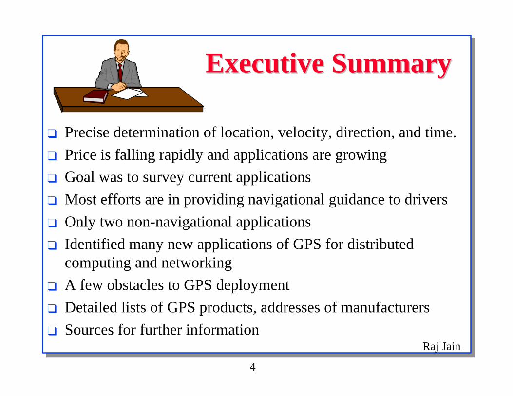
Executive SummaryExecutive Summary
❑ Precise determination of location, velocity, direction, and time.
❑ Price is falling rapidly and applications are growing
❑ Goal was to survey current applications
❑ Most efforts are in providing navigational guidance to drivers
❑ Only two non-navigational applications
❑ Identified many new applications of GPS for distributedcomputing and networking
❑ A few obstacles to GPS deployment
❑ Detailed lists of GPS products, addresses of manufacturers
❑ Sources for further information

Raj Jain
5
IntroductionIntroduction❑ Space-based radio positioning system
❑ Provide
❑ time
❑ three-dimensional position
❑ velocity
❑ First conceived after the launch of Sputnik 1 in 1957
❑ Measuring the frequency shifts in the small bleeps⇒ Distance

Raj Jain
6
Principles of Location DeterminationPrinciples of Location Determination❑ Broadcast signals allow computing the distance from the
satellite
❑ Distance from one satellite ⇒ Any point on the circle (sphere)
❑ Distance from two satellites ⇒ Two points (circle)Ridiculous answer can be eliminated
❑ Distance from three satellites ⇒ One point (two points)
❑ Distance from four satellites ⇒ One point

Raj Jain
7
NAVSTARNAVSTAR❑ Constellation of 24 satellites (Three are spare)
❑ Orbiting at a height of 10,900 nautical miles
❑ Orbital period of 12 hours
❑ Planned life span of 7.5 years
❑ Orbits inclined 55 degrees to the equatorial plane
❑ Provide a minimum of four satellites in good geometricpositions
❑ Up to 10 GPS satellites are usually seen
❑ Each satellites carries several cesium clocks
❑ Positional accuracy of 100 m, Timing accuracy of 300 ns
❑ Frequency accuracies of a few parts in 1012

Raj Jain
8
NAVSTAR (Cont)NAVSTAR (Cont)❑ Two L band frequencies, L1 (1575.42 MHz) and
L2 (1227.6 MHz)
❑ L1 carries a precise (P) code and a coarse/acquisition (C/A)code
❑ L2 carries the P code
❑ The P code is encrypted (also known as Y code)
❑ Only the C/A code is available to civilian users
❑ Space vehicle (SV) number: Assigned in order of launch
❑ Two services: SPS and PPS
Raj Jain
9
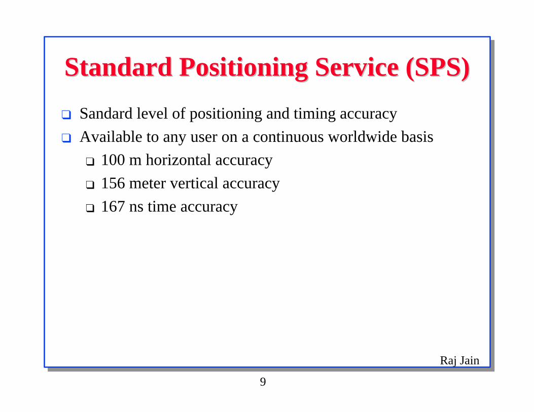
Standard Positioning Service (SPS)Standard Positioning Service (SPS)
❑ Sandard level of positioning and timing accuracy
❑ Available to any user on a continuous worldwide basis
❑ 100 m horizontal accuracy
❑ 156 meter vertical accuracy
❑ 167 ns time accuracy

Raj Jain
10
Precise Positioning Service (PPS)Precise Positioning Service (PPS)❑ Can only be accessed by authorized users with
cryptographic equipment and keys
❑ US and Allied military and approved civil users
❑ Accuracy:
❑ 17.8 meter horizontal
❑ 27.7 m vertical
❑ 100 ns time
Raj Jain
11
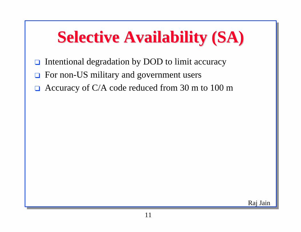
Selective Availability (SA)Selective Availability (SA)❑ Intentional degradation by DOD to limit accuracy
❑ For non-US military and government users
❑ Accuracy of C/A code reduced from 30 m to 100 m

Raj Jain
12
Raj Jain
13
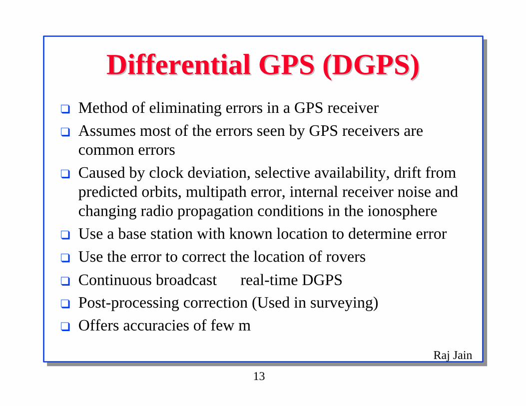
Differential GPS (DGPS)Differential GPS (DGPS)❑ Method of eliminating errors in a GPS receiver
❑ Assumes most of the errors seen by GPS receivers arecommon errors
❑ Caused by clock deviation, selective availability, drift frompredicted orbits, multipath error, internal receiver noise andchanging radio propagation conditions in the ionosphere
❑ Use a base station with known location to determine error
❑ Use the error to correct the location of rovers
❑ Continuous broadcast ⇒ real-time DGPS
❑ Post-processing correction (Used in surveying)
❑ Offers accuracies of few m
Raj Jain
15
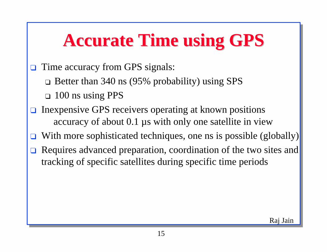
Accurate Time using GPSAccurate Time using GPS❑ Time accuracy from GPS signals:
❑ Better than 340 ns (95% probability) using SPS
❑ 100 ns using PPS
❑ Inexpensive GPS receivers operating at known positions⇒ accuracy of about 0.1 µs with only one satellite in view
❑ With more sophisticated techniques, one ns is possible (globally)
❑ Requires advanced preparation, coordination of the two sites andtracking of specific satellites during specific time periods

Raj Jain
16
Current Applications of GPSCurrent Applications of GPS❑ Frequency Counters
❑ Intelligent Vehicle Highway Systems (IVHS)
❑ Car Navigation Systems
❑ Geographic Information Systems (GIS)
❑ Emergency Systems: Backpacking
❑ Aviation
❑ GPS Aides for the Blind
❑ Astronomical Telescope Pointing
❑ Atmospheric Sounding using GPS Signals
❑ Tracking of Wild Animals
❑ Recorded Position Information
❑ Airborne Gravimetry

Raj Jain
17
Commercial EffortsCommercial Efforts❑ Trimble & Bell Atlantic, Trimble & IBM, PacTel Cellular
Wireless & Wireless Solutions Inc:
❑ Vehicle tracking and location devices
❑ Ford:
❑ GPS based car alarms to locate stolen cars,
❑ Traffic control, Vehicle tracking, Vehicle recovery,Navigation, Mapping
❑ Avis: Testing GPS in rental cars in NYC area
❑ As a navigational aid
❑ DeTeMobil:
❑ GPS receivers in all cars in Germany
❑ Pay tolls using smart cards and GSM digital phone

Raj Jain
18
Current Distributed Systems andCurrent Distributed Systems andNetworking ApplicationsNetworking Applications
❑ Network delays in DA-30
❑ SONET Synchronization

Raj Jain
19
Network DelaysNetwork Delays❑ Wandel & Goltermann Inc.
❑ DA-30 Internetwork Analyzer uses GPS to make latencymeasurements between Ethernet LANs linked by a WAN
❑ GPS boards lock into the GPS time signal broadcasts
❑ S/W conducts latency trials
❑ Accurate to within 150 µs
❑ Requires two kits priced at $6,750 each
Ref: Government Computer News,March 21, 1994, vol. 13, no. 6, p.64.

Raj Jain
20
SONET Clock DistributionSONET Clock Distribution❑ Multiple bit streams to a single network element
⇒ Need synchronized clocks
❑ CCITT Recommendation G.811⇒ Long term frequency departure < 10-11.
❑ Building Integrated Timing Supply (BITS) is Bellcore'sclock-system specification ⇒ Multi-level hierarchy
❑ Stratum 1 (ST-1) is the highest quality clock
❑ BITS allows LORAN/Rubidium ST1 clock systems
❑ AT&T's primary reference clock (PRC) uses GPS signalsfor long term timing accuracy
❑ Rubidium oscillators provide short-term stability
Ref: Telephony, August 24, 1992, pp. 50-54.

Raj Jain
21
Potential Applications toPotential Applications toDistributed Systems and NetworksDistributed Systems and Networks
❑ Time applications
❑ Position Applications

Raj Jain
22
Time ApplicationsTime Applications❑ Circuit Switching Using Synchronized Clocks
❑ Synchronous Slotted Systems
❑ Clock Synchronization in Distributed System
❑ Database Synchronization
❑ Connectionless Real-time Communication
❑ Real-Time Communications
❑ One-Way Delay
❑ Delay based routing
❑ Time to Live

Raj Jain
23
Circuit Switching UsingCircuit Switching UsingSynchronized ClocksSynchronized Clocks
❑ Synchronized clocks ⇒ circuit switching easy
❑ Precompute switching schedule
❑ Similar to synchronized lights on roads
Raj Jain
24
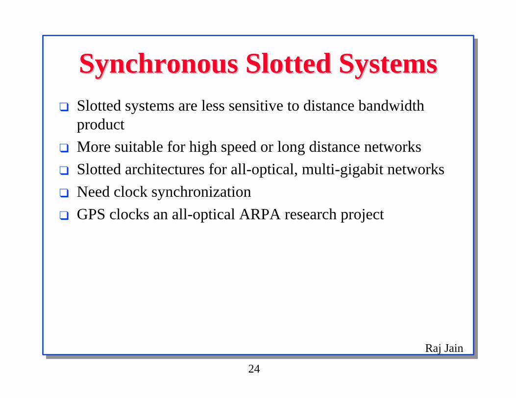
Synchronous Slotted SystemsSynchronous Slotted Systems❑ Slotted systems are less sensitive to distance bandwidth
product
❑ More suitable for high speed or long distance networks
❑ Slotted architectures for all-optical, multi-gigabit networks
❑ Need clock synchronization
❑ GPS clocks an all-optical ARPA research project

Raj Jain
25
Clock Synchronization inClock Synchronization inDistributed SystemDistributed System
❑ Clock difference < ∆, Smaller ∆ ⇒ Better system
❑ Currently: NTP, OSF-DTS, DECdts, Fuzzbal, timed
❑ Future: GPS clocks (1 ns) at least in timeservers
❑ Ordering of events (e.g., FCFS scheduling)
❑ Consistent update of replicated data
❑ At most once receipt of messages
❑ Authentication tickets in some systems (e.g., Kerberos)
❑ Ensuring atomicity
❑ Expiration of privileges
❑ Prearranged synchronization
❑ Ordering multi-version objects

Raj Jain
26
Database SynchronizationDatabase Synchronization❑ Synchronization after a failure or a disconnected operation
❑ Use logs with timestamp to decide the order of actions
❑ More precise clocks ⇒ less conflicts
Raj Jain
27
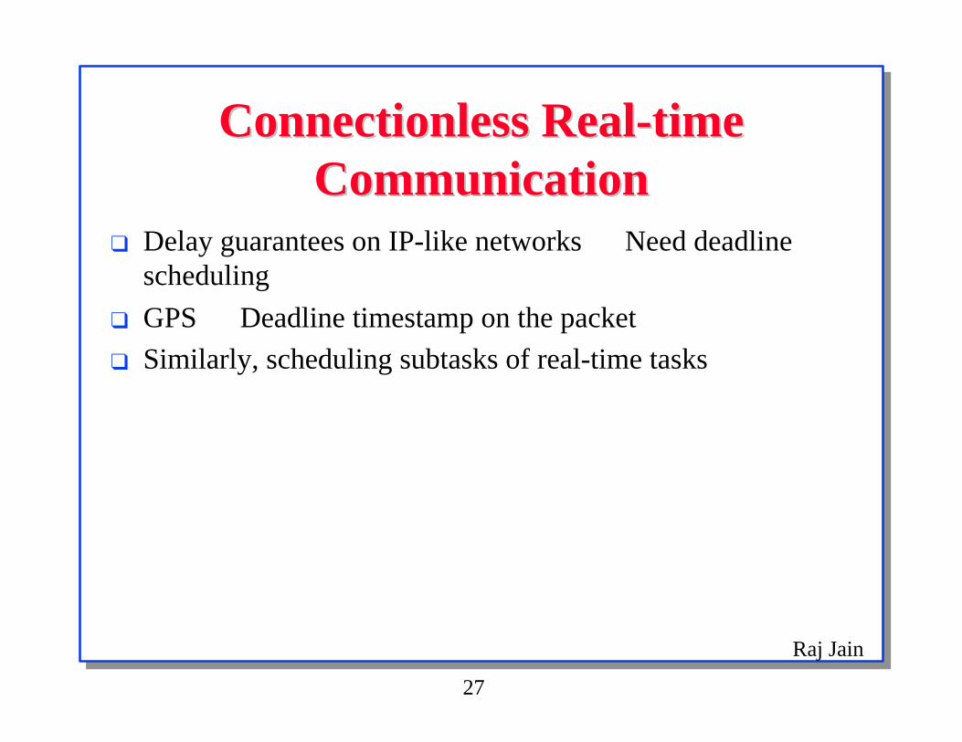
Connectionless Real-timeConnectionless Real-timeCommunicationCommunication
❑ Delay guarantees on IP-like networks ⇒ Need deadlinescheduling
❑ GPS ⇒ Deadline timestamp on the packet
❑ Similarly, scheduling subtasks of real-time tasks

Raj Jain
28
One-Way DelayOne-Way Delay❑ Currently, clock differences > one-way delays
⇒ Can't measure one-way delay
❑ Round-trip delays used instead
❑ Example: ATM networks ABR parameters are fn(delay)
❑ GPS synchronized clocks at source and destination⇒ exact one-way delay between source and destination andto every switch can be measured with a single timestamp.
Raj Jain
29
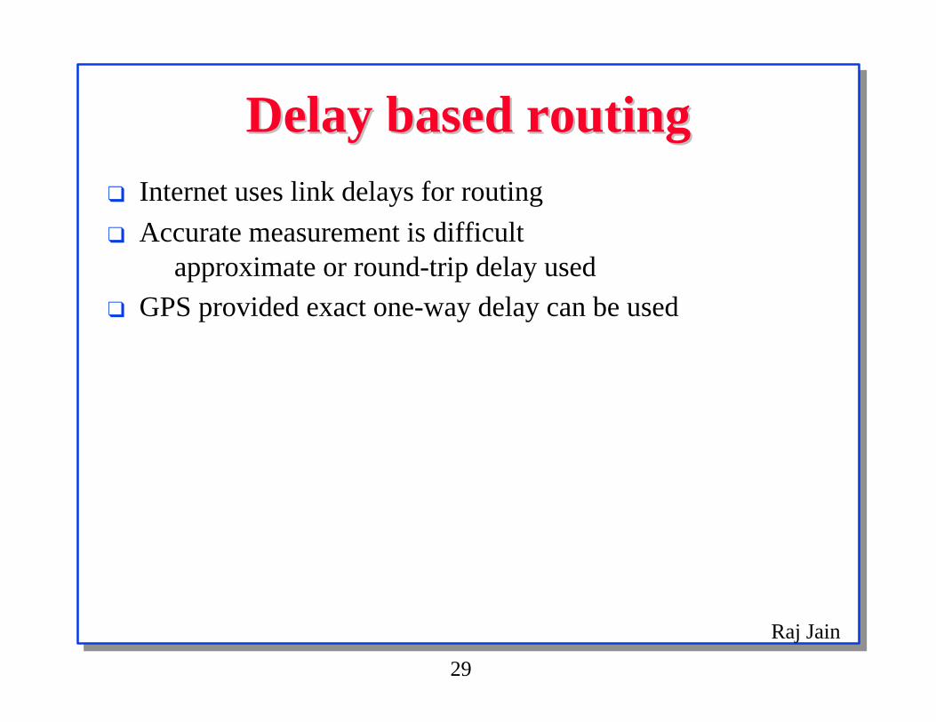
Delay based routingDelay based routing❑ Internet uses link delays for routing
❑ Accurate measurement is difficult⇒ approximate or round-trip delay used
❑ GPS provided exact one-way delay can be used

Raj Jain
30
Time to LiveTime to Live❑ Helps remove old packets from the networks
❑ Currently, the time-to-live field is decremented by 500 msregardless of actual delay
❑ With GPS synchronized clock, exact time-to-live possible

Raj Jain
31
Diagnostics/Maintenance ofDiagnostics/Maintenance ofsystem clockssystem clocks
❑ A GPS frequency calibrator can be used to periodicallycheck crystals in various equipment

Raj Jain
32
Time and Frequency AlternativesTime and Frequency Alternatives❑ National Institute of Standards and Technology (NIST)
❑ WWV and WWVH radio broadcasts (accurate to 1 ms)
❑ WWWVB broadcasts (2 to 3 parts in 1011)
❑ US Naval Observatory (USNO)
❑ Loran-C (LOng RAnge Navigation)
❑ Land based radio navigation system
❑ Frequency accuracies of 1 part in 1012, Time better than 1 µs
❑ Both USNO and NIST provide
❑ Telephone voice messages (accuracy 30 ms)
❑ Computer modem time transfer (several ms)
❑ Remote synchronization of time bases (10-9).
Raj Jain
33
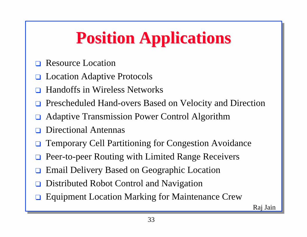
Position ApplicationsPosition Applications❑ Resource Location
❑ Location Adaptive Protocols
❑ Handoffs in Wireless Networks
❑ Prescheduled Hand-overs Based on Velocity and Direction
❑ Adaptive Transmission Power Control Algorithm
❑ Directional Antennas
❑ Temporary Cell Partitioning for Congestion Avoidance
❑ Peer-to-peer Routing with Limited Range Receivers
❑ Email Delivery Based on Geographic Location
❑ Distributed Robot Control and Navigation
❑ Equipment Location Marking for Maintenance Crew

Raj Jain
34
Resource LocationResource Location❑ Digitized maps and GPS locations
❑ Find the nearest printer or fileserver
❑ Prescheduling possible

Raj Jain
35
Location Adaptive ProtocolsLocation Adaptive Protocols❑ Currently, networking is location transparent
❑ Service decisions do not use location
❑ In many applications, knowing location helps
❑ Examples: Home vs Office vs Car. Electronic Fence.

Raj Jain
36
Home vs Office vs CarHome vs Office vs Car❑ Different physical medium: wire, ISDN, modem, cellular, or
radio
❑ Different bandwidth bandwidth, cost, and errorcharacteristics
❑ Mobile computing decisions = fn(GPS location)Example: Which files to fetch for home vs other town

Raj Jain
37
Electronic FenceElectronic Fence❑ Company confidential papers stay within physical walls
❑ GPS provides electronic fence for electronic information
❑ Information usable only if computer is within the corporateboundary

Raj Jain
38
Handoffs in Wireless NetworksHandoffs in Wireless Networks❑ Inter-cell (change base) or intra-cell (change channel)
❑ Decision by base or by mobile unit
❑ Currently use signal strengthBetter to use position
❑ Avoids passive listening to beacons
❑ Simplifies handoff

Raj Jain
39
Prescheduled UninterruptedPrescheduled UninterruptedHandoffsHandoffs
❑ Signal strength ⇒ Difficult to predict future
❑ GPS location, velocity, and direction ⇒ Future predictable
❑ Handoff ⇒ Interruption in service as the packets sent to theprevious base have to be forwarded to the new base
❑ Prediction ⇒ Prenegotiate the hand-over with all parties
Raj Jain
40
Adaptive Transmission PowerAdaptive Transmission PowerControl AlgorithmControl Algorithm
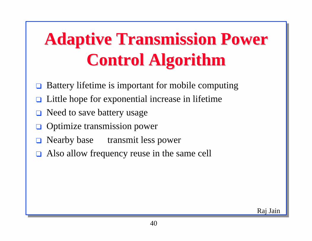
❑ Battery lifetime is important for mobile computing
❑ Little hope for exponential increase in lifetime
❑ Need to save battery usage
❑ Optimize transmission power
❑ Nearby base ⇒ transmit less power
❑ Also allow frequency reuse in the same cell
Raj Jain
41
Directional AntennasDirectional Antennas❑ Transmission in all directions ⇒ most of the energy wasted
❑ GPS ⇒ less power
❑ Particularly helpful for satellite communication
❑ Also allow better packing density - more users for the samespace
❑ Provides the minimum radiated RF pattern for covertcommunications.
❑ Can talk to the least busy base unit even if it is not closestunit

Raj Jain
42
Temporary Cell Partitioning forTemporary Cell Partitioning forCongestion AvoidanceCongestion Avoidance
❑ Cell splitting: Dividing a cell to form new cells
❑ Allows reuse of spectrum and helps in reducing congestion
❑ Requires prior preparation and usually a permanent change
❑ GPS ⇒ dynamic, quick, temporary splitting feasible
❑ Can also be used in case of base station failures

Raj Jain
43
Peer-to-peer Routing withPeer-to-peer Routing withLimited Range ReceiversLimited Range Receivers
❑ Civilian wireless communication uses base units
❑ Military communication ⇒ no pre-existing infrastructure⇒ Better to use peer-to-peer communication
❑ Position, heading, velocity, as well as, digital terraintopology information can be used for optimum routing

Raj Jain
44
Email Delivery Based onEmail Delivery Based onGeographic LocationGeographic Location
❑ Name, addresses, route, and physical position are not related
❑ Multicast/anycast to a particular geographic location
❑ For example, "to all police cars near Stanford university onroute 101"

Raj Jain
45
Distributed Robot Control andDistributed Robot Control andNavigationNavigation
❑ Intelligent robots can use position and environmentinformation
❑ Unmanned vehicles can navigate effectively.

Raj Jain
46
Equipment Location Marking forEquipment Location Marking forMaintenance CrewMaintenance Crew
❑ Service requesters (mobile or stationary) provide GPSlocation
❑ Maintenance crew carry GPS to locate the equipment

Raj Jain
47
Current Limitations of GPSCurrent Limitations of GPS❑ Selective Availability: degrades achievable accuracies
❑ Temporary outage of the receiver as the receiver passesunder obstructions⇒ GPS for performance not for operation
❑ Systems should continue to work without the GPS
❑ Like cache memories
Raj Jain
48
Details of Selected ProductsDetails of Selected Products❑ Trimble's Mobile GPS Card: Type II PCMCIA GPS sensor
by Trimble ($995). 3 channels tracking up to 8 satellites.100 m accuracy. Acquisition time of less than 30 s and re-acquisition rate of 2-3 s.
❑ Trimble's Mobile GPS Gold Card: Differential-ready($1,595). Provides 2-5 m accuracy in real-time.
❑ Trimble's Mobile GPS Intelligent Sensor 100: Low-endsensor $395
❑ Rockwell's NavCard PCMCIA GPS sensor
❑ Mobile Computing Kit: Includes pen-based TelePad,Proxim's RangeLAN, cellular phone, Trimble GPS,FotoMan Plus camera, ScanMan, AudioMan ($7,299).

Raj Jain
49
GPS Software ApplicationsGPS Software Applications❑ GPS for windows ($1,995): By Peacock Systems
❑ City Streets for Windows: $99.95 by Road Scholar software
❑ Streets on a Disk: By Kylnas Engineering ($225+$95/county)
❑ Map'n'GO: ($50) 3CS Software.
❑ NCompass 3.0 for Windows: - real time GPS
❑ Zagat-Axxis CityGuide: by Axxis Software.
❑ MapInfo for Windows 3.0: MapInfo Corp.
❑ Atlas GIS for Windows 2.0: By Strategic Mapping Inc.
❑ GISPlus for PC: By Caliper Corp.
❑ Maptech Professional Marine Chart S/W: ($1,290) byResolution Mapping Inc.

Raj Jain
50
SummarySummary
❑ Cheap PCMCIA receivers for $300-400 ⇒ Growingapplications
❑ Currently mostly for navigational guidance to drivers
❑ SONET and Wolter and Golderman's DA-30 network analyzer
❑ Many many potential applications
❑ Main obstacles: Antennas must point to open sky

Raj Jain
51
References: BooksReferences: Books❑ Jeff Hurn, Differential GPS Explained, Trimble Navigation,
1993.
❑ Jeff Hurn, GPS: A Guide to the Next Utility, TrembleNavigation, 1988.
❑ David Wells et al., Guide to GPS Positioning (ISBN: 0-920-114-73-3), Canadian Associates, 1986.
❑ Tom Logsdon, Navstar Global Positioning System, VanNostrand Reinhold, 1992.
❑ Hoffmann-Wellenhof, et al, Global Positioning System,Theory and Practice, 3rd Edition, Springer-Verlag.
❑ Ackroyd and Robert Lorimer, Global Navigation-A GPSusers guide, 2nd Edition, Loyds of London, 1994.
Raj Jain
52
References: On-LineReferences: On-Line❑ Michael Heflin, ``Global GPS Time Series.''
http://sideshow.jpl.nasa.gov/mbh/series.html
❑ Peter H. Dana, ``An Overview of the Global PositioningSystem (GPS),''http://wwwhost.cc.utexas.edu/ftp/pub/grg/gcraft/notes/gps/gps.html
❑ Hal Mueller, ``Hal Mueller's GPS Sources,''http://www.zilker.net/hal/geoscience/gps.html
❑ John T. Beadles, ``Introduction to GPS Applications,''http://www.einet.net/editors/john-beadles/introgps.htm