Embed Size (px)
Citation preview
GEOLOGI E0505
TEKNIK KERJALAPANGAN GEOLOGI 2
(GEOLOGIC FIELD TECHNIQUE 2)

E0504
Kandungan Kursus:
Pengenalan kepada teknik lapangan berasaskan geologi eksplorasi (kajian subpermukaan); peralatan asas, pengambilan data lapangan (soil logging), pengelasan dan penerangan tanih, air bawah tanah dan perolehan data air bawah tanah, maintenance dan keselamatan.

EKSPLORASI SUBPERMUKAAN
• Kaedah Eksplorasi Subpermukaan: • Terdapat dua operasi yang terlibat bagi mendapatkan
sampel dari subpermukaan: penggerudian dan penyampelan.
• Penggerudian melibatkan proses membuat lubang, dan selepas itu pensampelan dan pengukuran berkaitan kajian subpermukaan boleh dilakukan.
• Proses membuat lubang boleh melalui beberapa kaedah. Semua kaedah pembuatan lubang mestilah dibuat log dan diberi keterangan menggunakan piawaian spt United Soil Classification System (USCS).

EKSPLORASI SUBPERMUKAAN
• Peralatan Asas Penggerudian: • 1. Test pits• 2. Auger holes• 3. Drill holes
• Terdapat beberapa kaedah dan alat digunakan bergantung kepada keperluan kajian.
EKSPLORASI SUBPERMUKAAN
• Objektif dan Kepentingan Eksplorasi: • Maklumat subpermukaan diperlukan dalam merancang
dan membina tapak untuk struktur kejuruteraan dan untuk memantau kesan ke atas sekitaran.
• Kerja-kerja kejuruteraan yg memerlukan maklumat subpermukaan antaranya adalah:
• Earth fill, rock fill, empangan, terowong, jambatan, bangunan, lebuhraya, levees, pelabuhan, stesen janakuasa dan subway, perlombongan, underground storage utk gas dan cecair, pelupusan sisa, sanitary landfill, dan eksplorasi minyak dan gas.

EKSPLORASI SUBPERMUKAAN
• Maklumat yg diperlukan antaranya adalah: depth to bedrock, nature of the soil, groundwater conditions, soil strength, and bedrock strength.
• Perancangan Kajian Subpermukaan:• 1. Reconnaissance
Office Reconnaissance Field Reconnaissance
• 2. Subsurface Exploration Methods of drilling Sampling methods

EKSPLORASI SUBPERMUKAAN
• 1. Reconnaissance• - iaitu kerja awalan yg diperlukan sebelum dijalankan
penggerudian dan pensampelan. Terdapat 2 fasa:a. Office ReconnaissanceTerdapat beb langkah dalam fasa ini: Review of design plans Review of engineering reports Review of published information or open file geologic reports
Topographic maps Geologic maps Aerial photographs Well log data

EKSPLORASI SUBPERMUKAAN
b. Field Reconnaissance• Terdapa dua objektif: • 1) to view the site and record information• Perkara yg diperhati di lapangan:
Proposed location of structure Topography and vegetation Surface soils, gullying and natural slopes Surface and subsurface water Geology of the site

EKSPLORASI SUBPERMUKAAN
• 2) utk mendapat maklumat bagi drill crew mencapai boring program.
• Perkara yg diperlu diketahui: How to get to the site Where to drill Type of equipment required What difficulties will likely occur

KAEDAH PENGGERUDIAN
• Kaedah membuat lubang:• 1. Cable tool well drilling• Digunakan terutamanya utk penggerudian
telaga air. Chisel bit dihentak ke tanah dengan mengangkat dan menjatuhkannya.
• 2. Wash boring: Lubang gerudi ditusuk oleh tindakan basuhan oleh kombinasi water jet dan chopping oleh mata gerudi.

KAEDAH PENGGERUDIAN
• Steel casing digunakan bagi membukakan lubang gerudi. Rincisan (cuttings) dibawa ke permukaan oleh air basuhan melalui annulus.
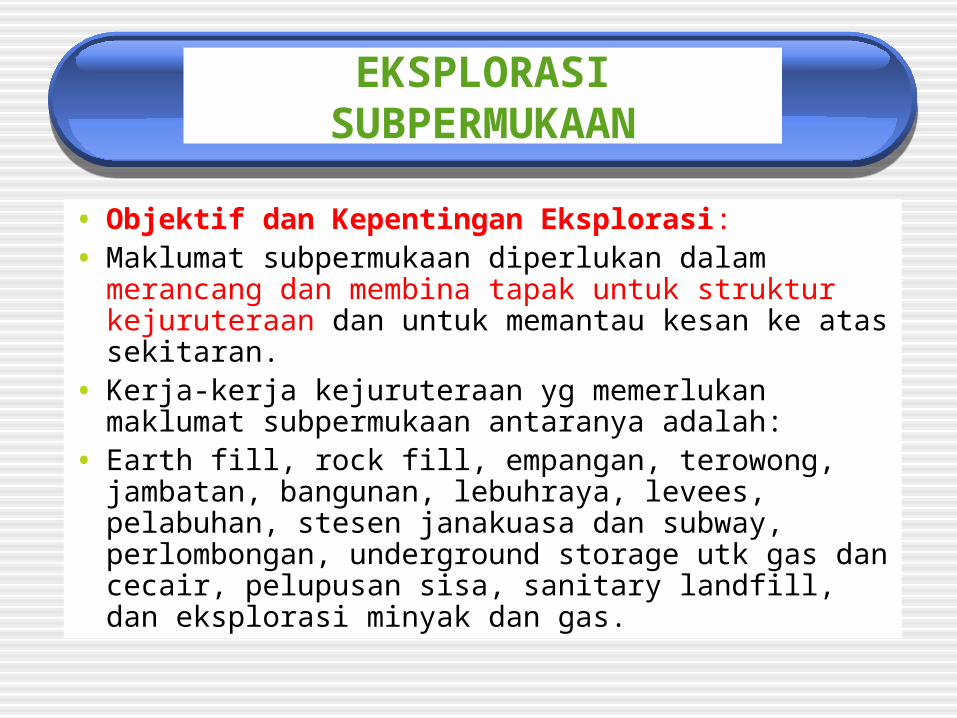
• 3. Rotary Drilling: Drill rod diputar dan pelbagai drill bit diguna untuk memotong tanih atau batuan. Rincisan dibawa ke permukaan oleh air basuhan.

KAEDAH PENGGERUDIAN
• Empat prosidur kaedah berputar utama untuk penggerudian eksplorasi:
auger boring with solid auger stems, auger boring with hollow-stem augers, rotary drilling with roller bits, dan Coring of soil or rock.

Auger boring

Rotary drilling
Rotary drilling

SAMPLING METHODS
• Sampel diperoleh utk tujuan pengecaman dan pengelasan tanih dan batuan.
• Undisturbed sampel: diguna untuk wet and dry density determination, triaxial, shear or unconfined compression test, and permeability and consolidation test.
• Dengan itu pembungkusan, pengangkutan dan storan utk undisturbed sampel adalah perlu.

SAMPLING METHODS
• Disturbed sample: soil structure tidak maintained dan ia hanya diguna utk penerangan dan pengelasan tanih.

Undisturbed sample collection

SAMPLING METHODS
• Kaedah Pensampelan:• Standard Penetration Test (SPT): Sampler
ini, apabila dikeluarkan drp drill rod, split kepada dua bahagian utk mendedah turus tanih diperoleh semasa operasi penusukan.
• The split-spoon sampler attached ke drill rod dan ditusuk ke tanah oleh a series of blows from the drop hammer.

Sample sampler

SAMPLING METHODS
• The sample is advanced in three increments of 6 in. (150mm) with the number of blows recorded.
• The N value is the sum of the last two increments, in this case,12, and it represents the number of blows per foot.
• The SPT or N values diguna untuk sebagai indication of density or consistency of the soil.

SAMPLING METHODS
• Pushed Tube Sampling: pushed barrel or thin-walled tube sampling diguna utk tanih atau batuan lembut bagi mendapat undisturbed sample. A thin-walled tube is forced into the soil, using the static force from the weight of drilling rig.
• Rotary coring: diguna untuk mendapat sampel tanih dan batuan dengan menggunakan core bit.

Pushed Tube Sampling

PREPARATION OF BOREHOLE LOGS
• Penyediaan Borehole Logs:
• Borehole log yang lengkap secara tipikal mengandungi maklumat berikut:
1. Nama projek dan tarikh
2. Borehole identification, ketinggian dan lokasi
3. Kaedah penggerudian dan penyampelan
4. Rate of drilling progress

PREPARATION OF BOREHOLE LOGS
5. Lokasi coring runs, sampel, dan in situ tests
6. Description of ground water level
7. Detailed geologic description of the soil or rock samples.

Pengelasan dan Penerangan Tanih
• Geologic classification of materials:
• Bedrock is a general term that includes any of the generally indurated or crystalline materials that make up the Earth's crust.
• Surficial Deposits are the relatively younger materials occurring at or near the Earth's surface overlying bedrock. They occur as two major classes: (1) transported deposits and (2) residual deposits formed in place as a result of weathering processes.

Pengelasan dan Penerangan Tanih
• Kajian tanih yang dijalankan untuk tujuan kejuruteraan dijelaskan mengikut Unified Soil Classification System (USCS).
• All soil classification descriptions for particle sizes less than No. 4 sieve size are to be in metric units.
• Terminologi utk tanih:• Cobbles and boulders—particles retained on a 3-
inch (75-mm) U.S. Standard sieve.
• Gravel—particles of rock that will pass a 3-in (75-mm) sieve and is retained on a No. 4 (4.75-mm) sieve.

Pengelasan dan Penerangan Tanih
• Sand—particles of rock that will pass a No. 4 (4.75-mm) sieve and is retained on a No. 200 (0.075-mm or 75-micrometer [μm]) sieve.
o • Coarse sand—passes No. 4 (4.75-mm) sieve and is retained on No. 10 (2.00-mm) sieve.
o • Medium sand—passes No. 10 (2.00-mm) sieve and is retained on No. 40 (425-μm) sieve.
o • Fine sand—passes No. 40 (425-μm) sieve and is retained on No. 200 (0.075-mm or 75-μm) sieve.

Pengelasan dan Penerangan Tanih
• Clay—passes a No. 200 (0.075-mm or 75-μm) sieve. Soil has plasticity within a range of water contents and has considerable strength when air-dry.
• Silt—passes a No. 200 (0.075-mm or 75-μm) sieve. Soil is nonplastic or very slightly plastic and that exhibits little or no strength when air-dry.

Pengelasan Tanih
• Group Names and Group Symbols.• GW - Well graded gravel
• GP - Poorly graded gravel
• GM - Silty gravel
• GC - Clayey gravel sand
• SW - Well graded sand
• SP - Poorly graded sand
• SM - Silty sand
• SC - Clayey sand
• CL - Lean clay
• ML - Silt
• OL - Organic clay

Pengelasan Tanih
• Dual Symbols.—Dual symbols separated by a hyphen are used in laboratory classification of soils and in visual classification when soils are estimated to contain 10 percent fines. A dual symbol (two symbols separated by a hyphen, e.g., GP-GM, SW-SC, CL-ML) should be used to indicate that the soil has the properties of a classification where two symbols are required.
• Borderline Symbols.—Borderline symbols are used when soil properties indicate the soil is close to another classification group. Two symbols separated by a slash, such as CL/CH, SC/CL, GM/SM, CL/ML, should be used to indicate that the soil has properties that do not distinctly place the soil into a specific group.
Pengelasan Tanih
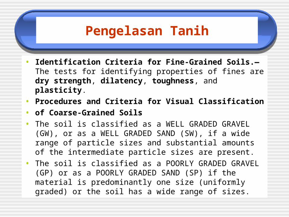
• Identification Criteria for Fine-Grained Soils.—The tests for identifying properties of fines are dry strength, dilatency, toughness, and plasticity.
• Procedures and Criteria for Visual Classification
• of Coarse-Grained Soils
• The soil is classified as a WELL GRADED GRAVEL (GW), or as a WELL GRADED SAND (SW), if a wide range of particle sizes and substantial amounts of the intermediate particle sizes are present.
• The soil is classified as a POORLY GRADED GRAVEL (GP) or as a POORLY GRADED SAND (SP) if the material is predominantly one size (uniformly graded) or the soil has a wide range of sizes.

Pengelasan Tanih
• Checklist for the description of soil classification and identification:
• Group name and symbol
• Percent gravel, sand, and/or fines
• Percent by volume of cobbles and boulders
• Particle size
• Gravel - fine, coarse
• Sand - fine, medium, coarse
• Particle angularity: angular subangular subrounded rounded
• Particle shape: flat elongated flat and elongated

Pengelasan Tanih
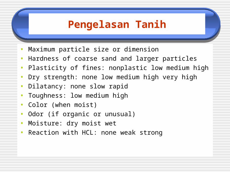
• Maximum particle size or dimension
• Hardness of coarse sand and larger particles
• Plasticity of fines: nonplastic low medium high
• Dry strength: none low medium high very high
• Dilatancy: none slow rapid
• Toughness: low medium high
• Color (when moist)
• Odor (if organic or unusual)
• Moisture: dry moist wet
• Reaction with HCL: none weak strong
Pengelasan Tanih
• Maximum particle size or dimension
• Hardness of coarse sand and larger particles
• Plasticity of fines: nonplastic low medium high
• Dry strength: none low medium high very high
• Dilatancy: none slow rapid
• Toughness: low medium high
• Color (when moist)
• Odor (if organic or unusual)
• Moisture: dry moist wet
• Reaction with HCL: none weak strong

Pengelasan Tanih
• Checklist for the description of in-place conditions In-place conditions:
• Consistency (fine-grained soils only): very soft soft firm hard very hard
• Cementation: weak moderate strong
• Structure: stratified laminated fissured slickened lensed homogeneous
• Geologic interpretation and/or local name, if any
• Additional comments and description
• Presence of roots or root holes
• Presence of mica, gypsum, etc.
• Surface coatings
• Caving or sloughing of excavation
• Excavation difficulty

Pengelasan Tanih
• Example 1: CLAYEY GRAVEL WITH SAND AND COBBLES
• (GC)—Approximately 50 percent fine to coarse,
• sub-rounded to subangular gravel; approximately
• 30 percent fine to coarse, subrounded sand;
• approximately 20 per-cent fines with medium plasticity,
• high dry strength, no dilatancy, medium toughness; weak
• reaction with HCl; original field sample had about
• 5 percent (by volume) subrounded cobbles, maximum size
• 150 mm.
• IN-PLACE CONDITIONS: firm, homogeneous, dry,
• brown.
• GEOLOGIC INTERPRETATION: alluvial fan.
• Abbreviated symbol is (GC)sc.

Soil Logging
• Soil investigations conducted for engineering purposes that use test pits, auger and drill holes, or other exploratory methods are logged and described according to the Unified Soil Classification System (USCS).
• Test pits dan auger holes boleh di log menggunakan form spt di Figure 1-1. Contoh log spt di Figure 1-2, 1-3 dan 1-4.

Soil Logging
• Arahan umum untuk log format dan keterangan. Capitalize the group name. Describe plasticity of fines as:
• Approx. 30% fines with high plasticity• Approx. 605 fines with low to medium plasticity• Approx. 10% nonplastic fines
Give results of hand test Use “reaction with HCL”