Embed Size (px)
Citation preview
Geography Geography of Chileof Chile
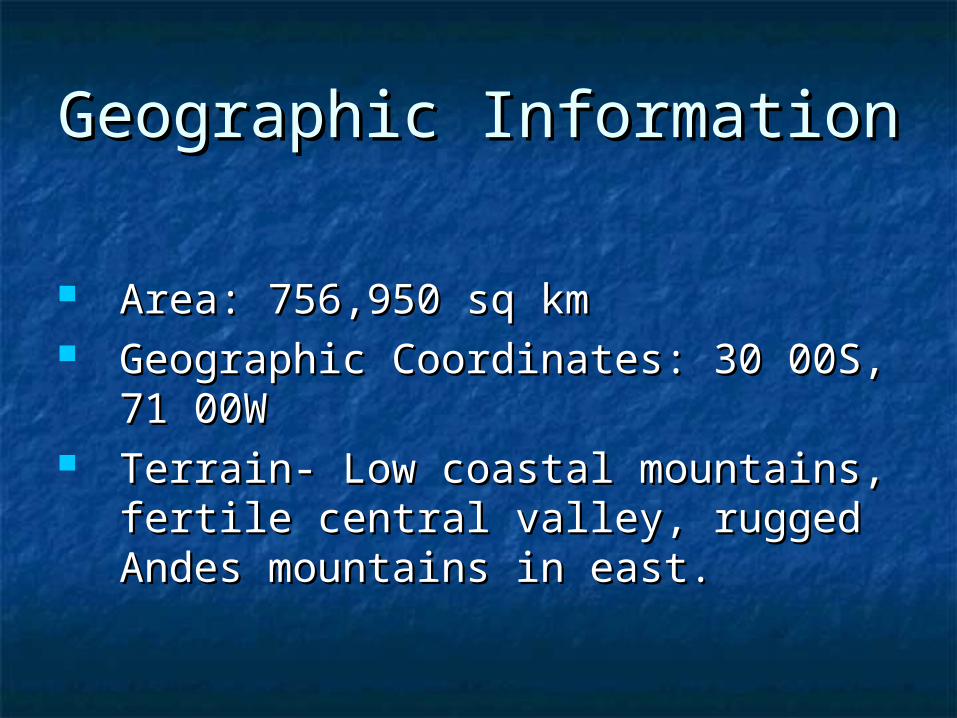
Geographic InformationGeographic Information
Area: 756,950 sq kmArea: 756,950 sq km Geographic Coordinates: 30 00S, 71 Geographic Coordinates: 30 00S, 71
00W00W Terrain- Low coastal mountains, Terrain- Low coastal mountains,
fertile central valley, rugged Andes fertile central valley, rugged Andes mountains in east.mountains in east.
Geographic Geographic FeaturesFeatures
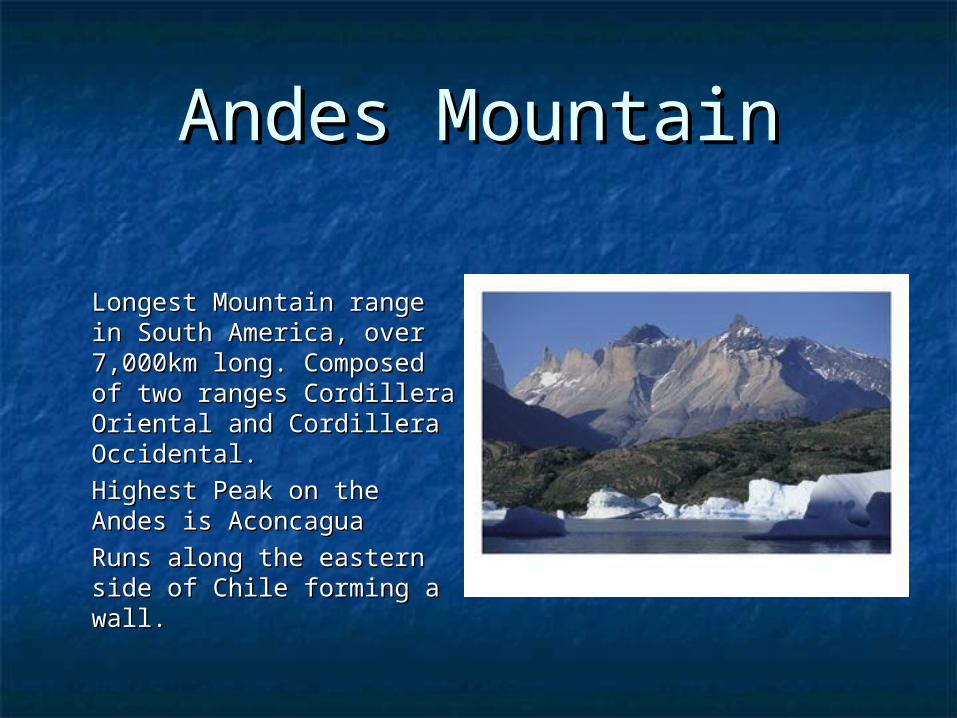
Andes MountainAndes Mountain
Longest Mountain range in Longest Mountain range in South America, over South America, over 7,000km long. Composed of 7,000km long. Composed of two ranges Cordillera two ranges Cordillera Oriental and Cordillera Oriental and Cordillera Occidental.Occidental.
Highest Peak on the Andes Highest Peak on the Andes is Aconcaguais Aconcagua
Runs along the eastern side Runs along the eastern side of Chile forming a wall.of Chile forming a wall.
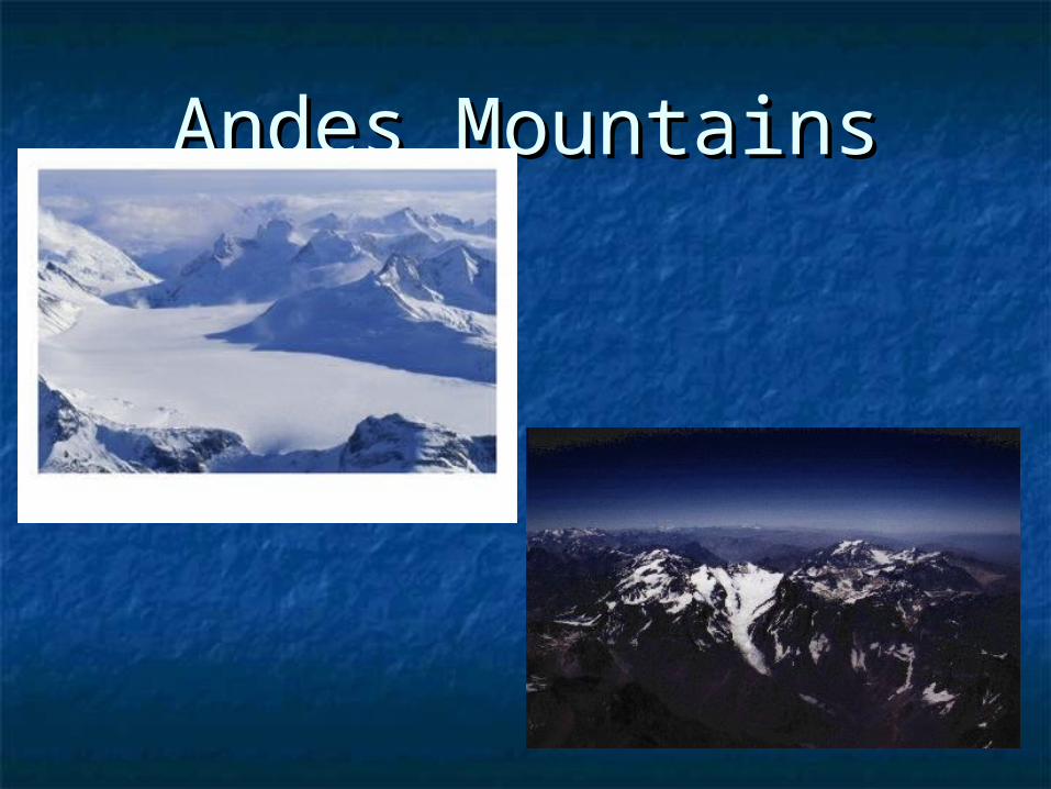
Andes MountainsAndes Mountains
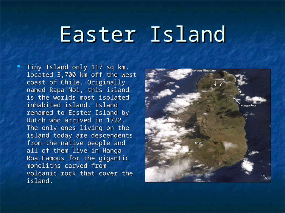
Easter IslandEaster Island Tiny Island only 117 sq km, Tiny Island only 117 sq km,
located 3,700 km off the west located 3,700 km off the west coast of Chile. Originally coast of Chile. Originally named Rapa Noi, this island is named Rapa Noi, this island is the worlds most isolated the worlds most isolated inhabited island. Island inhabited island. Island renamed to Easter Island by renamed to Easter Island by Dutch who arrived in 1722. The Dutch who arrived in 1722. The only ones living on the island only ones living on the island today are descendents from today are descendents from the native people and all of the native people and all of them live in Hanga them live in Hanga Roa.Famous for the gigantic Roa.Famous for the gigantic monoliths carved from volcanic monoliths carved from volcanic rock that cover the island, rock that cover the island,
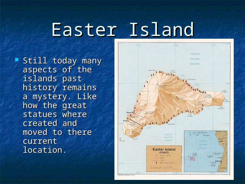
Easter IslandEaster Island Still today many Still today many
aspects of the aspects of the islands past islands past history remains history remains a mystery. Like a mystery. Like how the great how the great statues where statues where created and created and moved to there moved to there current location.current location.
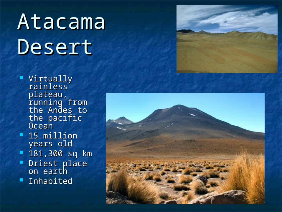
Atacama Atacama DesertDesert Virtually Virtually
rainless rainless plateau, running plateau, running from the Andes from the Andes to the pacific to the pacific OceanOcean
15 million years 15 million years oldold
181,300 sq km181,300 sq km Driest place on Driest place on
earthearth InhabitedInhabited
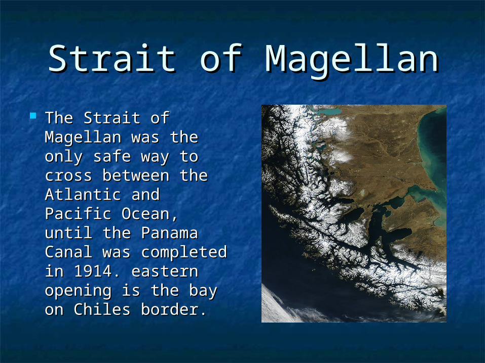
Strait of MagellanStrait of Magellan The Strait of Magellan The Strait of Magellan
was the only safe way was the only safe way to cross between the to cross between the Atlantic and Pacific Atlantic and Pacific Ocean, until the Ocean, until the Panama Canal was Panama Canal was completed in 1914. completed in 1914. eastern opening is eastern opening is the bay on Chiles the bay on Chiles border. border.
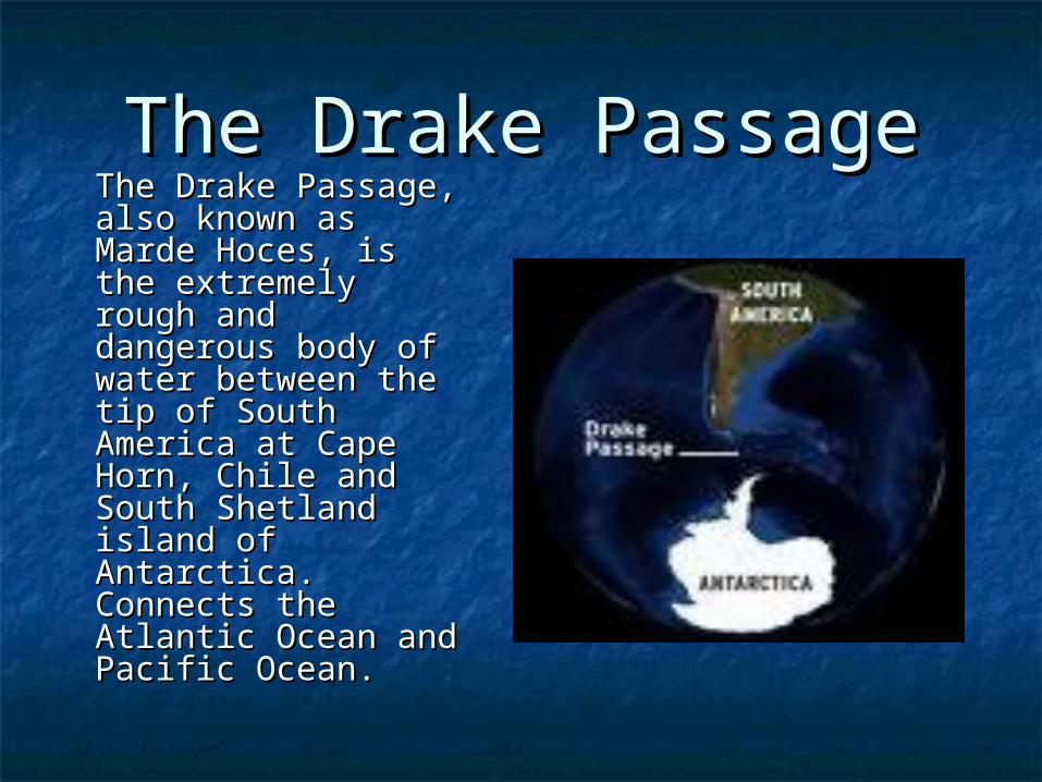
The Drake PassageThe Drake Passage
The Drake Passage, The Drake Passage, also known as also known as Marde Hoces, is the Marde Hoces, is the extremely rough extremely rough and dangerous and dangerous body of water body of water between the tip of between the tip of South America at South America at Cape Horn, Chile Cape Horn, Chile and South Shetland and South Shetland island of Antarctica. island of Antarctica. Connects the Connects the Atlantic Ocean and Atlantic Ocean and Pacific Ocean.Pacific Ocean.
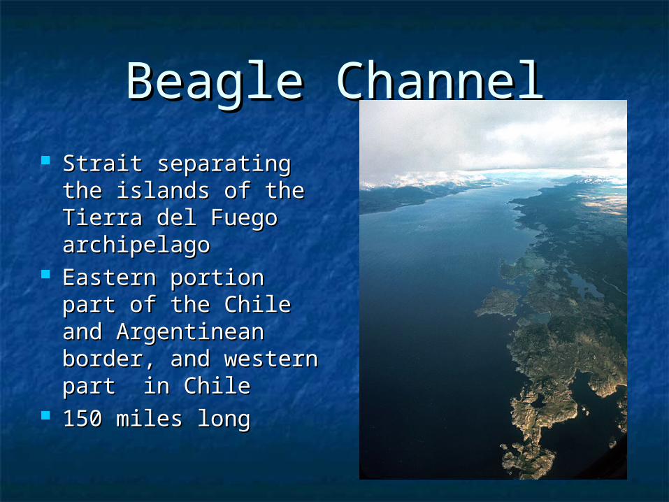
Beagle ChannelBeagle Channel Strait separating the Strait separating the
islands of the Tierra islands of the Tierra del Fuego del Fuego archipelagoarchipelago
Eastern portion part Eastern portion part of the Chile and of the Chile and Argentinean border, Argentinean border, and western part in and western part in ChileChile
150 miles long150 miles long
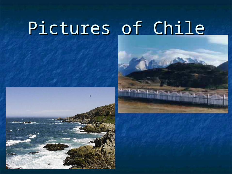
Pictures of ChilePictures of Chile