Embed Size (px)
Citation preview
gvt
2/26/2014 2
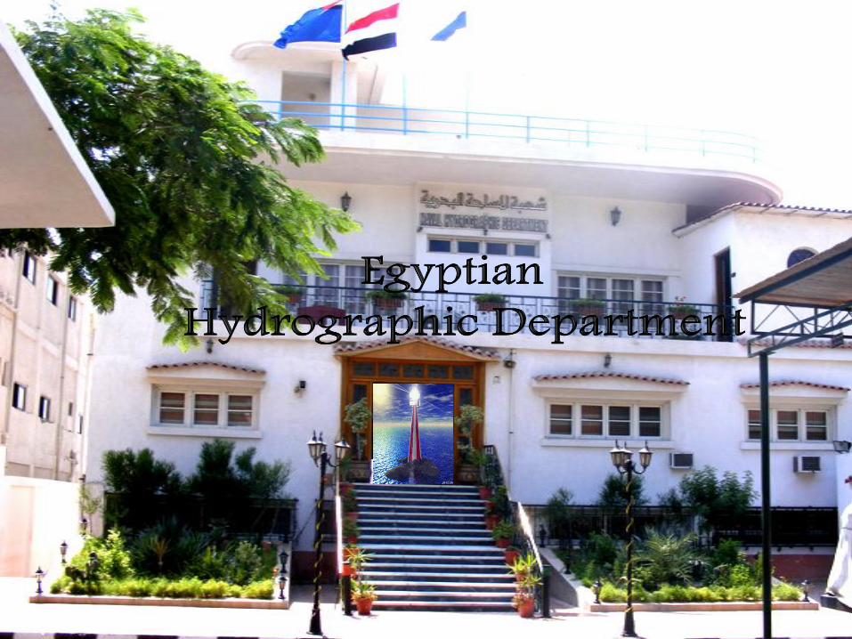
EGYPTIAN HYDROGRAPHIC DEPARTMENT
XVIIIth INTERNATIONAL HYDROGRAPHIC CONFERENCE
Monaco, 23-27 April 2012
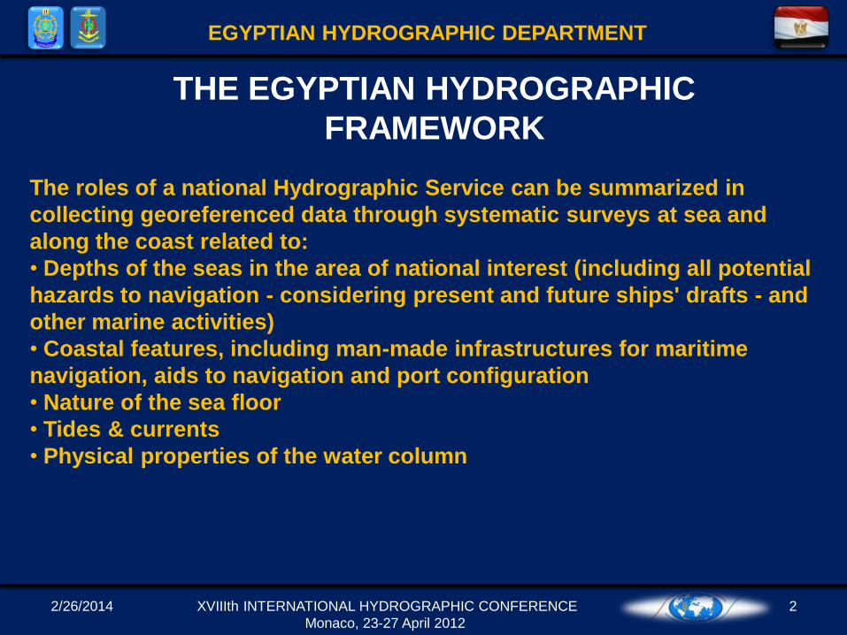
THE EGYPTIAN HYDROGRAPHIC
FRAMEWORK
The roles of a national Hydrographic Service can be summarized in
collecting georeferenced data through systematic surveys at sea and
along the coast related to:
• Depths of the seas in the area of national interest (including all potential
hazards to navigation - considering present and future ships' drafts - and
other marine activities)
• Coastal features, including man-made infrastructures for maritime
navigation, aids to navigation and port configuration
• Nature of the sea floor
• Tides & currents
• Physical properties of the water column
2/26/2014 3
EGYPTIAN HYDROGRAPHIC DEPARTMENT
XVIIIth INTERNATIONAL HYDROGRAPHIC CONFERENCE
Monaco, 23-27 April 2012
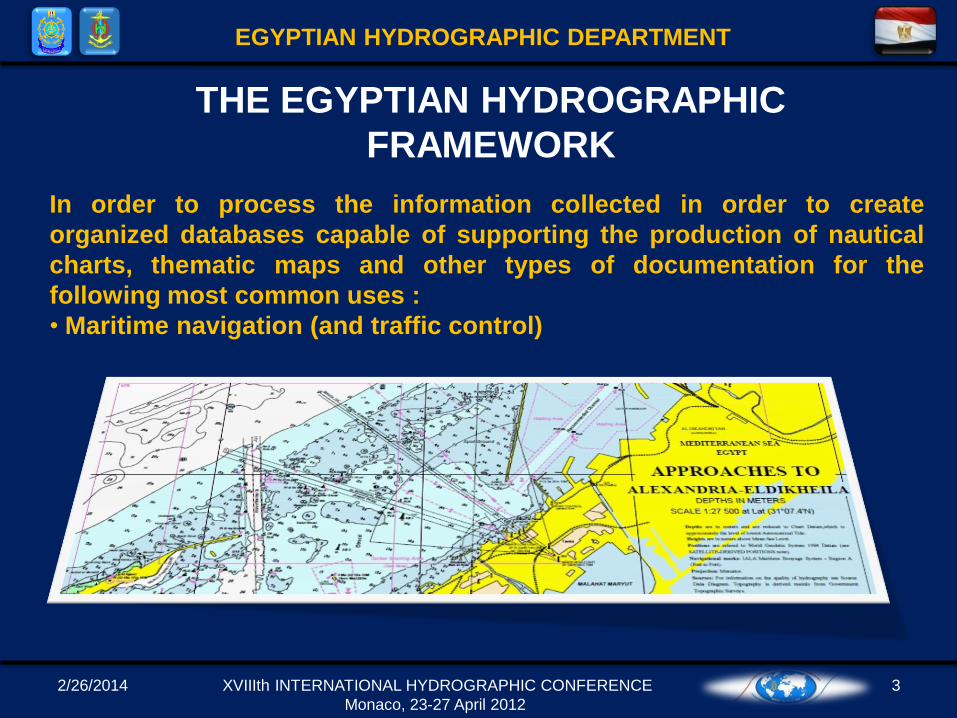
In order to process the information collected in order to create
organized databases capable of supporting the production of nautical
charts, thematic maps and other types of documentation for the
following most common uses :
• Maritime navigation (and traffic control)
THE EGYPTIAN HYDROGRAPHIC
FRAMEWORK
2/26/2014 4
EGYPTIAN HYDROGRAPHIC DEPARTMENT
XVIIIth INTERNATIONAL HYDROGRAPHIC CONFERENCE
Monaco, 23-27 April 2012
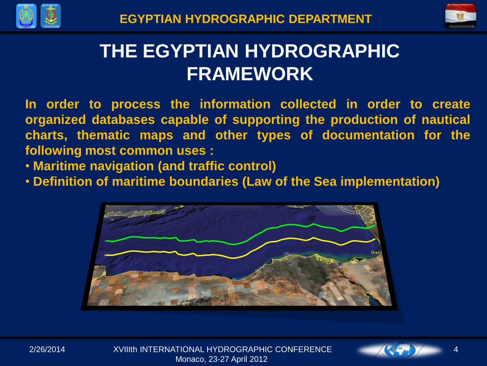
In order to process the information collected in order to create
organized databases capable of supporting the production of nautical
charts, thematic maps and other types of documentation for the
following most common uses :
• Maritime navigation (and traffic control)
• Definition of maritime boundaries (Law of the Sea implementation)
THE EGYPTIAN HYDROGRAPHIC
FRAMEWORK
2/26/2014 5
EGYPTIAN HYDROGRAPHIC DEPARTMENT
XVIIIth INTERNATIONAL HYDROGRAPHIC CONFERENCE
Monaco, 23-27 April 2012
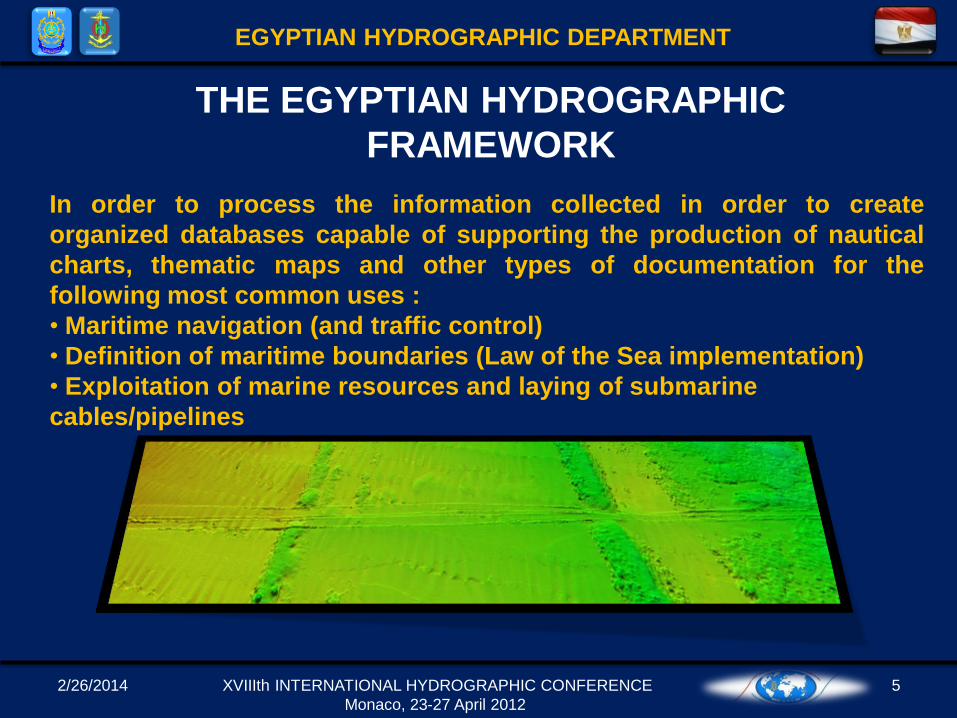
In order to process the information collected in order to create
organized databases capable of supporting the production of nautical
charts, thematic maps and other types of documentation for the
following most common uses :
• Maritime navigation (and traffic control)
• Definition of maritime boundaries (Law of the Sea implementation)
• Exploitation of marine resources and laying of submarine
cables/pipelines
THE EGYPTIAN HYDROGRAPHIC
FRAMEWORK

2/26/2014 6
EGYPTIAN HYDROGRAPHIC DEPARTMENT
XVIIIth INTERNATIONAL HYDROGRAPHIC CONFERENCE
Monaco, 23-27 April 2012
In order to process the information collected in order to create
organized databases capable of supporting the production of nautical
charts, thematic maps and other types of documentation for the
following most common uses :
• Maritime navigation (and traffic control)
• Definition of maritime boundaries (Law of the Sea implementation)
• Exploitation of marine resources and laying of submarine
cables/pipelines
• Naval operations
• Coastal management
• Civil defense
• Marine environment preservation
• Scientific studies related to the sea and near-shore zone
THE EGYPTIAN HYDROGRAPHIC
FRAMEWORK
2/26/2014 XVIIIth INTERNATIONAL HYDROGRAPHIC CONFERENCE
Monaco, 23-27 April 2012
7
• The ENHD following by the chain of command the Egyptian Naval HQ.
• Considered the oldest and the most experienced hydrographic office in
the region (since 1920).
• ENHD is the official representative for EGYPT to the IHO (international
Hydrographic Organization).
• Member in the Mediterranean and Black sea hydrographic committee &
NIOHC.
• Permanent member in international Hydrographic and scientific
conferences and workshops.
ENHD
EGYPTIAN HYDROGRAPHIC DEPARTMENT
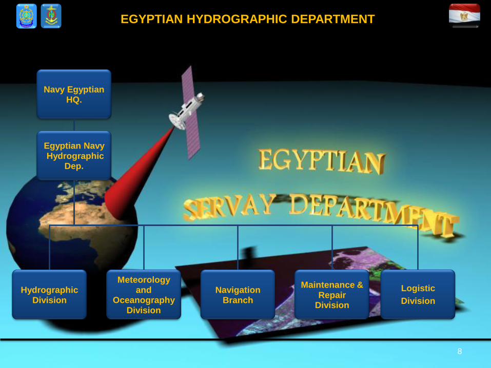
8
EGYPTIAN HYDROGRAPHIC DEPARTMENT
Navy Egyptian HQ.
Egyptian NavyHydrographic
Dep.
HydrographicDivision
Meteorology and
OceanographyDivision
Navigation Branch
Maintenance &Repair
Division
Logistic
Division
2/26/2014 9
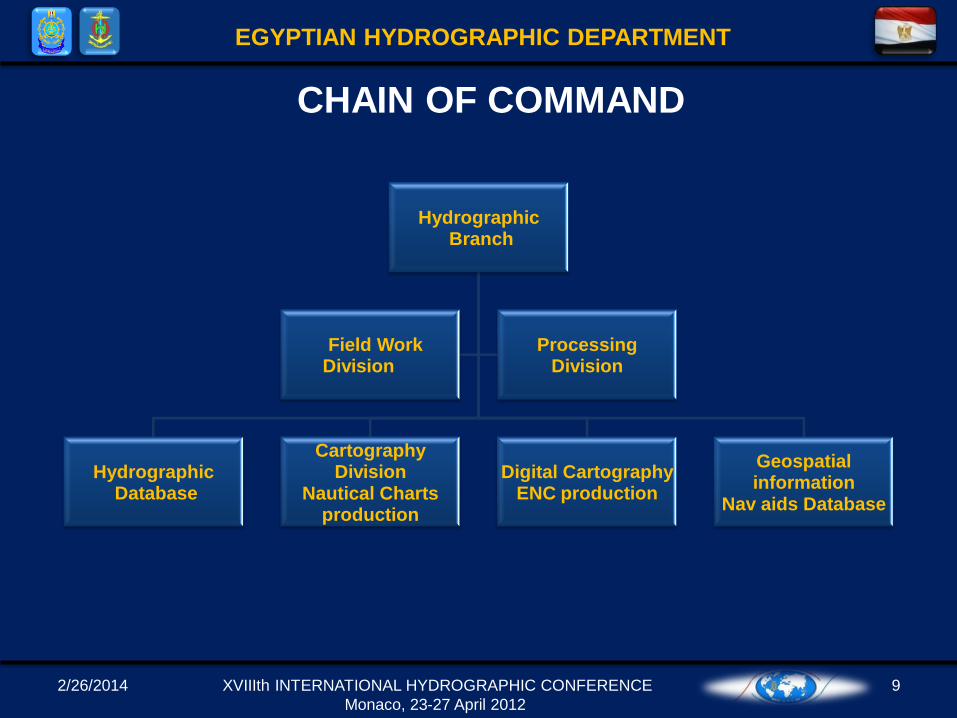
EGYPTIAN HYDROGRAPHIC DEPARTMENT
HydrographicBranch
HydrographicDatabase
Cartography Division
Nautical Charts production
Digital CartographyENC production
Geospatial information
Nav aids Database
Field Work Division
Processing Division
CHAIN OF COMMAND
XVIIIth INTERNATIONAL HYDROGRAPHIC CONFERENCE
Monaco, 23-27 April 2012
2/26/2014 10
EGYPTIAN HYDROGRAPHIC DEPARTMENT
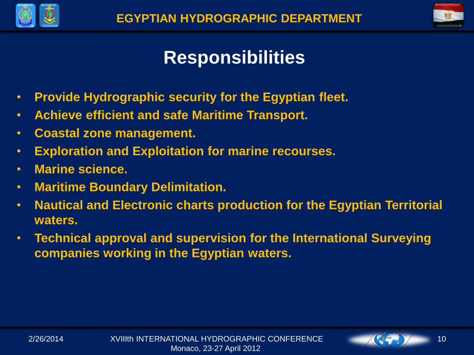
• Provide Hydrographic security for the Egyptian fleet.
• Achieve efficient and safe Maritime Transport.
• Coastal zone management.
• Exploration and Exploitation for marine recourses.
• Marine science.
• Maritime Boundary Delimitation.
• Nautical and Electronic charts production for the Egyptian Territorial
waters.
• Technical approval and supervision for the International Surveying
companies working in the Egyptian waters.
Responsibilities
XVIIIth INTERNATIONAL HYDROGRAPHIC CONFERENCE
Monaco, 23-27 April 2012
2/26/2014 11
EGYPTIAN HYDROGRAPHIC DEPARTMENT
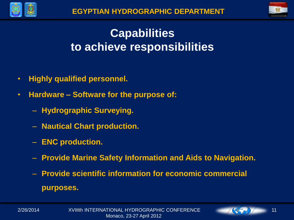
• Highly qualified personnel.
• Hardware – Software for the purpose of:
– Hydrographic Surveying.
– Nautical Chart production.
– ENC production.
– Provide Marine Safety Information and Aids to Navigation.
– Provide scientific information for economic commercial
purposes.
Capabilities
to achieve responsibilities
XVIIIth INTERNATIONAL HYDROGRAPHIC CONFERENCE
Monaco, 23-27 April 2012
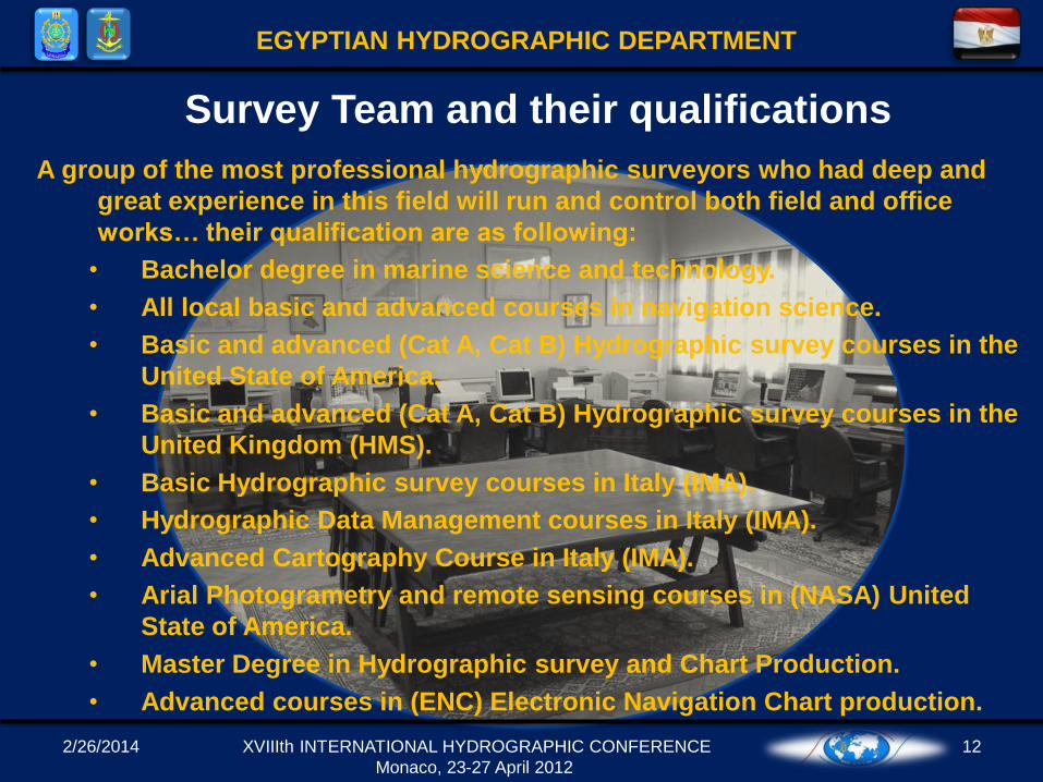
A group of the most professional hydrographic surveyors who had deep and
great experience in this field will run and control both field and office
works… their qualification are as following:
• Bachelor degree in marine science and technology.
• All local basic and advanced courses in navigation science.
• Basic and advanced (Cat A, Cat B) Hydrographic survey courses in the
United State of America.
• Basic and advanced (Cat A, Cat B) Hydrographic survey courses in the
United Kingdom (HMS).
• Basic Hydrographic survey courses in Italy (IMA).
• Hydrographic Data Management courses in Italy (IMA).
• Advanced Cartography Course in Italy (IMA).
• Arial Photogrametry and remote sensing courses in (NASA) United
State of America.
• Master Degree in Hydrographic survey and Chart Production.
• Advanced courses in (ENC) Electronic Navigation Chart production.
2/26/2014 12
EGYPTIAN HYDROGRAPHIC DEPARTMENT
Survey Team and their qualifications
XVIIIth INTERNATIONAL HYDROGRAPHIC CONFERENCE
Monaco, 23-27 April 2012
2/26/2014 13
EGYPTIAN HYDROGRAPHIC DEPARTMENT
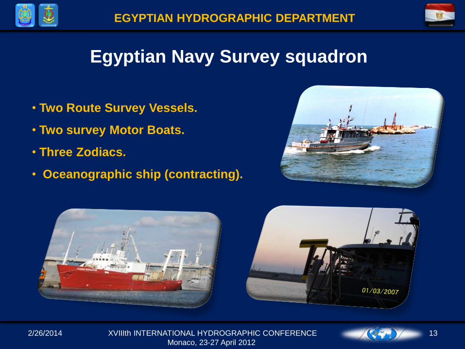
• Two Route Survey Vessels.
• Two survey Motor Boats.
• Three Zodiacs.
• Oceanographic ship (contracting).
Egyptian Navy Survey squadron
XVIIIth INTERNATIONAL HYDROGRAPHIC CONFERENCE
Monaco, 23-27 April 2012
2/26/2014 14
EGYPTIAN HYDROGRAPHIC DEPARTMENT
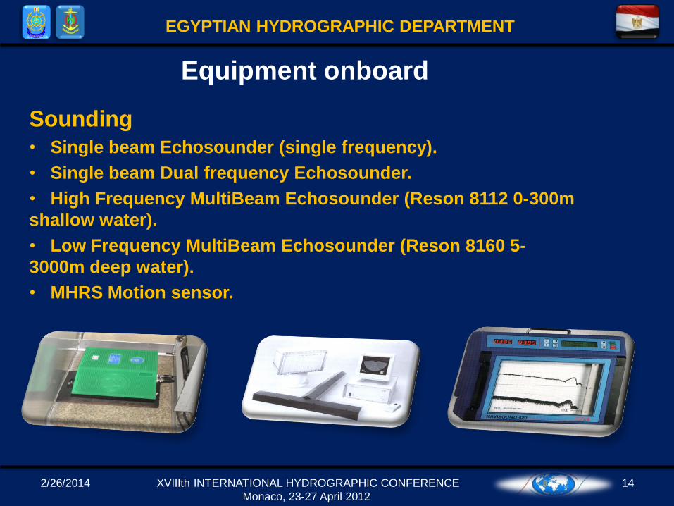
Sounding
• Single beam Echosounder (single frequency).
• Single beam Dual frequency Echosounder.
• High Frequency MultiBeam Echosounder (Reson 8112 0-300m
shallow water).
• Low Frequency MultiBeam Echosounder (Reson 8160 5-
3000m deep water).
• MHRS Motion sensor.
Equipment onboard
XVIIIth INTERNATIONAL HYDROGRAPHIC CONFERENCE
Monaco, 23-27 April 2012
2/26/2014 15
EGYPTIAN HYDROGRAPHIC DEPARTMENT
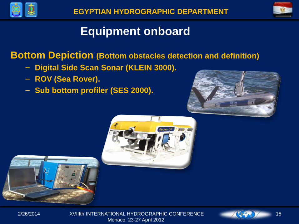
Bottom Depiction (Bottom obstacles detection and definition)
– Digital Side Scan Sonar (KLEIN 3000).
– ROV (Sea Rover).
– Sub bottom profiler (SES 2000).
Equipment onboard
XVIIIth INTERNATIONAL HYDROGRAPHIC CONFERENCE
Monaco, 23-27 April 2012
2/26/2014 16
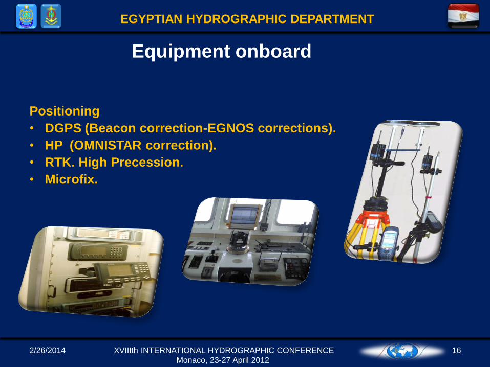
EGYPTIAN HYDROGRAPHIC DEPARTMENT
Positioning
• DGPS (Beacon correction-EGNOS corrections).
• HP (OMNISTAR correction).
• RTK. High Precession.
• Microfix.
Equipment onboard
XVIIIth INTERNATIONAL HYDROGRAPHIC CONFERENCE
Monaco, 23-27 April 2012
2/26/2014 17
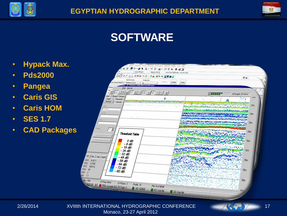
EGYPTIAN HYDROGRAPHIC DEPARTMENT
• Hypack Max.
• Pds2000
• Pangea
• Caris GIS
• Caris HOM
• SES 1.7
• CAD Packages
SOFTWARE
XVIIIth INTERNATIONAL HYDROGRAPHIC CONFERENCE
Monaco, 23-27 April 2012
2/26/2014 18
EGYPTIAN HYDROGRAPHIC DEPARTMENT
SOFTWARE
XVIIIth INTERNATIONAL HYDROGRAPHIC CONFERENCE
Monaco, 23-27 April 2012
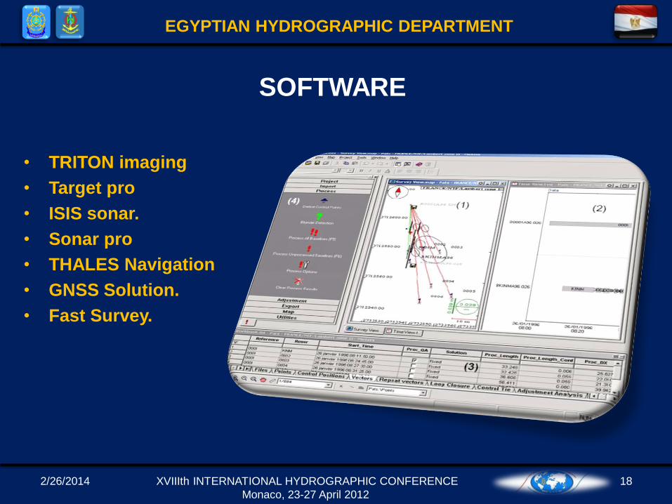
• TRITON imaging
• Target pro
• ISIS sonar.
• Sonar pro
• THALES Navigation
• GNSS Solution.
• Fast Survey.
2/26/2014 19
EGYPTIAN HYDROGRAPHIC DEPARTMENT
XVIIIth INTERNATIONAL HYDROGRAPHIC CONFERENCE
Monaco, 23-27 April 2012
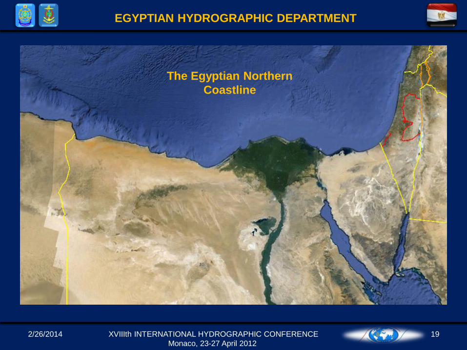
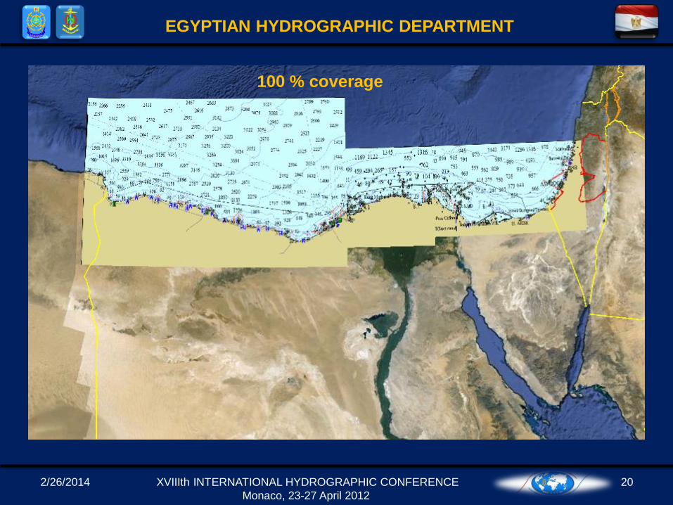
The Egyptian Northern
Coastline
2/26/2014 20
EGYPTIAN HYDROGRAPHIC DEPARTMENT
XVIIIth INTERNATIONAL HYDROGRAPHIC CONFERENCE
Monaco, 23-27 April 2012
100 % coverage
2/26/2014 21
EGYPTIAN HYDROGRAPHIC DEPARTMENT
XVIIIth INTERNATIONAL HYDROGRAPHIC CONFERENCE
Monaco, 23-27 April 2012
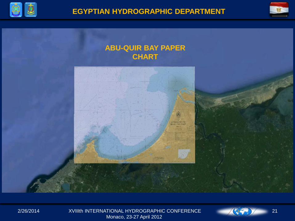
ABU-QUIR BAY PAPER
CHART
2/26/2014 22
EGYPTIAN HYDROGRAPHIC DEPARTMENT
XVIIIth INTERNATIONAL HYDROGRAPHIC CONFERENCE
Monaco, 23-27 April 2012
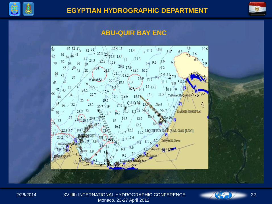
ABU-QUIR BAY ENC
2/26/2014 23
EGYPTIAN HYDROGRAPHIC DEPARTMENT
XVIIIth INTERNATIONAL HYDROGRAPHIC CONFERENCE
Monaco, 23-27 April 2012
The Egyptian Northern
Coastline
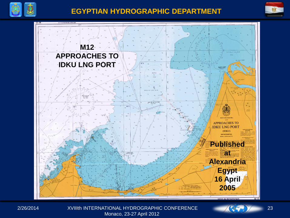
M12
APPROACHES TO
IDKU LNG PORT
Published
at
Alexandria
Egypt
16 April
2005
2/26/2014 24
EGYPTIAN HYDROGRAPHIC DEPARTMENT
XVIIIth INTERNATIONAL HYDROGRAPHIC CONFERENCE
Monaco, 23-27 April 2012
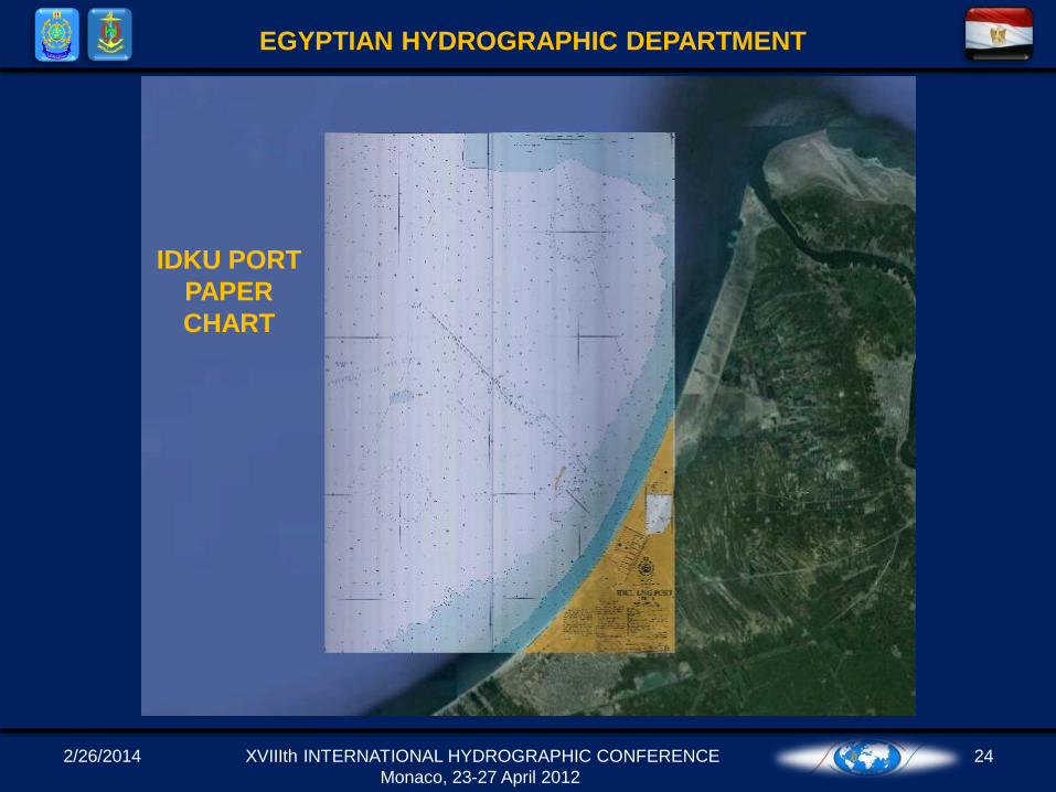
IDKU PORT
PAPER
CHART
2/26/2014 25
EGYPTIAN HYDROGRAPHIC DEPARTMENT
XVIIIth INTERNATIONAL HYDROGRAPHIC CONFERENCE
Monaco, 23-27 April 2012
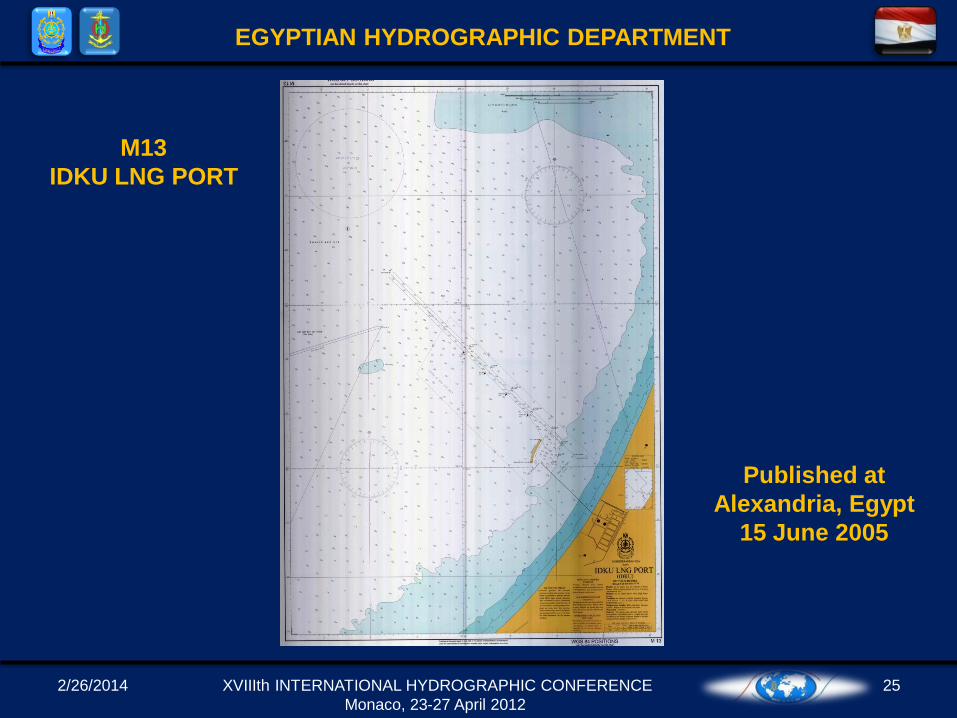
M13
IDKU LNG PORT
Published at
Alexandria, Egypt
15 June 2005
2/26/2014 26
EGYPTIAN HYDROGRAPHIC DEPARTMENT
XVIIIth INTERNATIONAL HYDROGRAPHIC CONFERENCE
Monaco, 23-27 April 2012
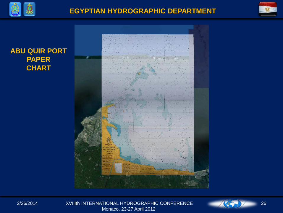
ABU QUIR PORT
PAPER
CHART
2/26/2014 27
EGYPTIAN HYDROGRAPHIC DEPARTMENT
XVIIIth INTERNATIONAL HYDROGRAPHIC CONFERENCE
Monaco, 23-27 April 2012
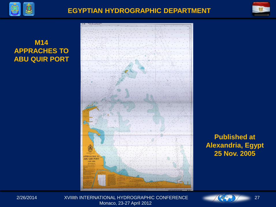
M14
APPRACHES TO
ABU QUIR PORT
Published at
Alexandria, Egypt
25 Nov. 2005
2/26/2014 28
EGYPTIAN HYDROGRAPHIC DEPARTMENT
XVIIIth INTERNATIONAL HYDROGRAPHIC CONFERENCE
Monaco, 23-27 April 2012
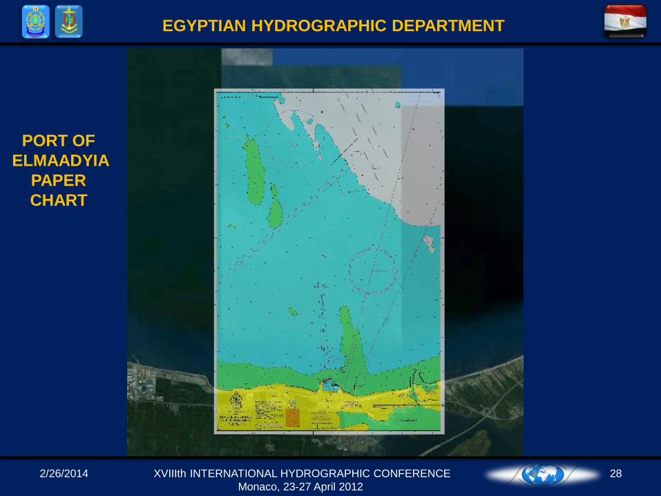
PORT OF
ELMAADYIA
PAPER
CHART
2/26/2014 29
EGYPTIAN HYDROGRAPHIC DEPARTMENT
XVIIIth INTERNATIONAL HYDROGRAPHIC CONFERENCE
Monaco, 23-27 April 2012
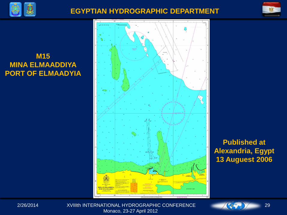
M15
MINA ELMAADDIYA
PORT OF ELMAADYIA
Published at
Alexandria, Egypt
13 Auguest 2006
2/26/2014 30
EGYPTIAN HYDROGRAPHIC DEPARTMENT
XVIIIth INTERNATIONAL HYDROGRAPHIC CONFERENCE
Monaco, 23-27 April 2012
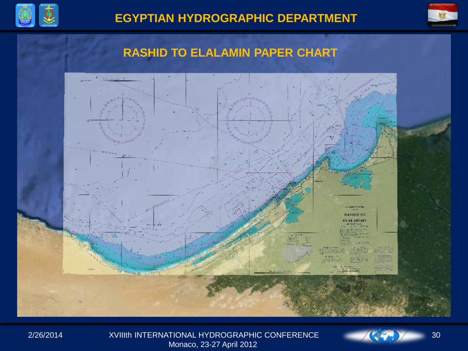
RASHID TO ELALAMIN PAPER CHART