Embed Size (px)
Citation preview
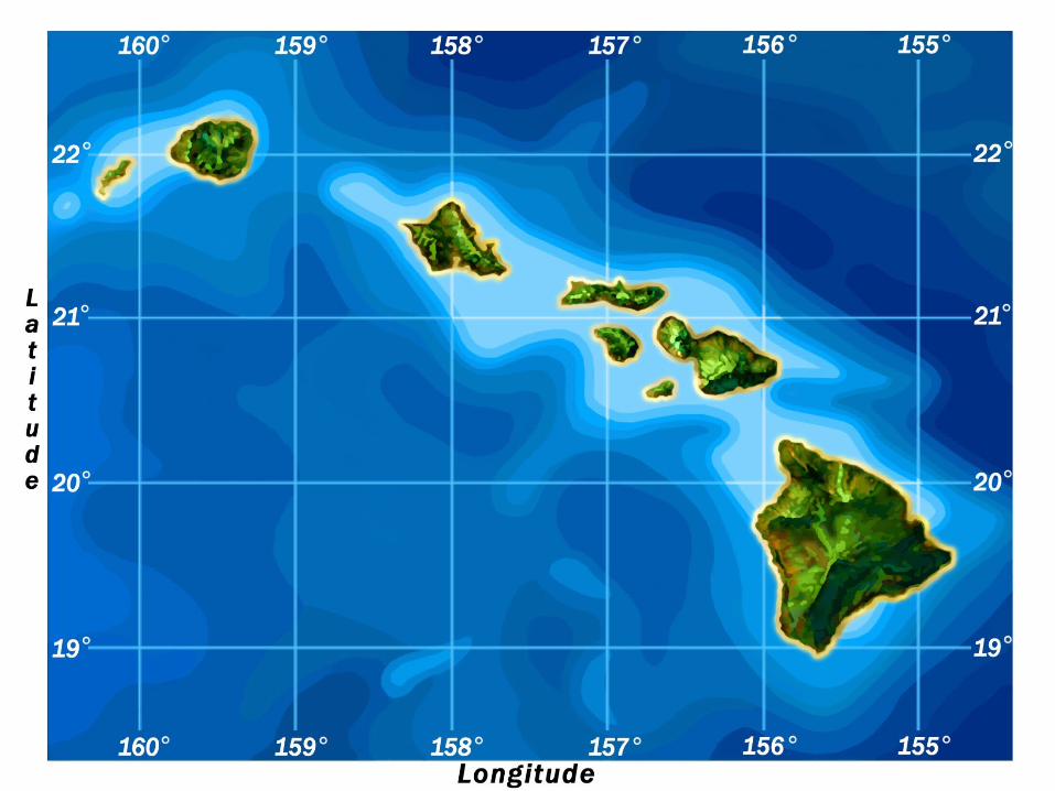
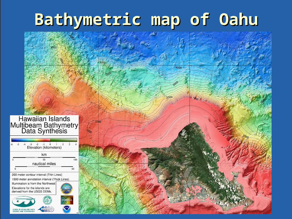
Bathymetric map of OahuBathymetric map of Oahu
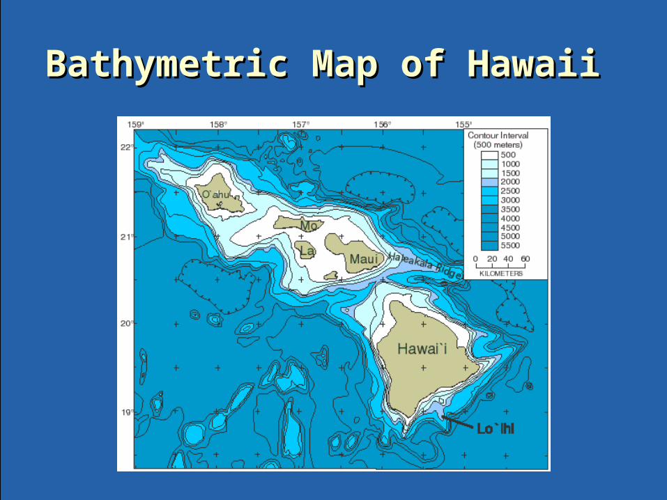
Bathymetric Map of Hawaii Bathymetric Map of Hawaii
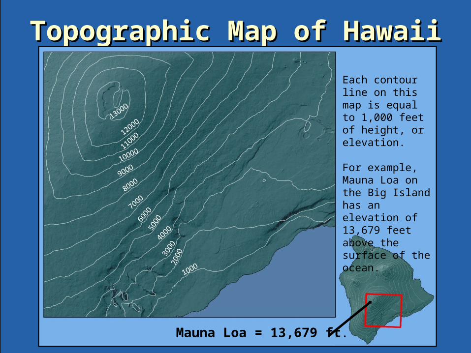
Topographic Map of HawaiiTopographic Map of Hawaii
Mauna Loa = 13,679 ft.
Each contour line on this map is equal to 1,000 feet of height, or elevation. For example, Mauna Loa on the Big Island has an elevation of 13,679 feet above the surface of the ocean.
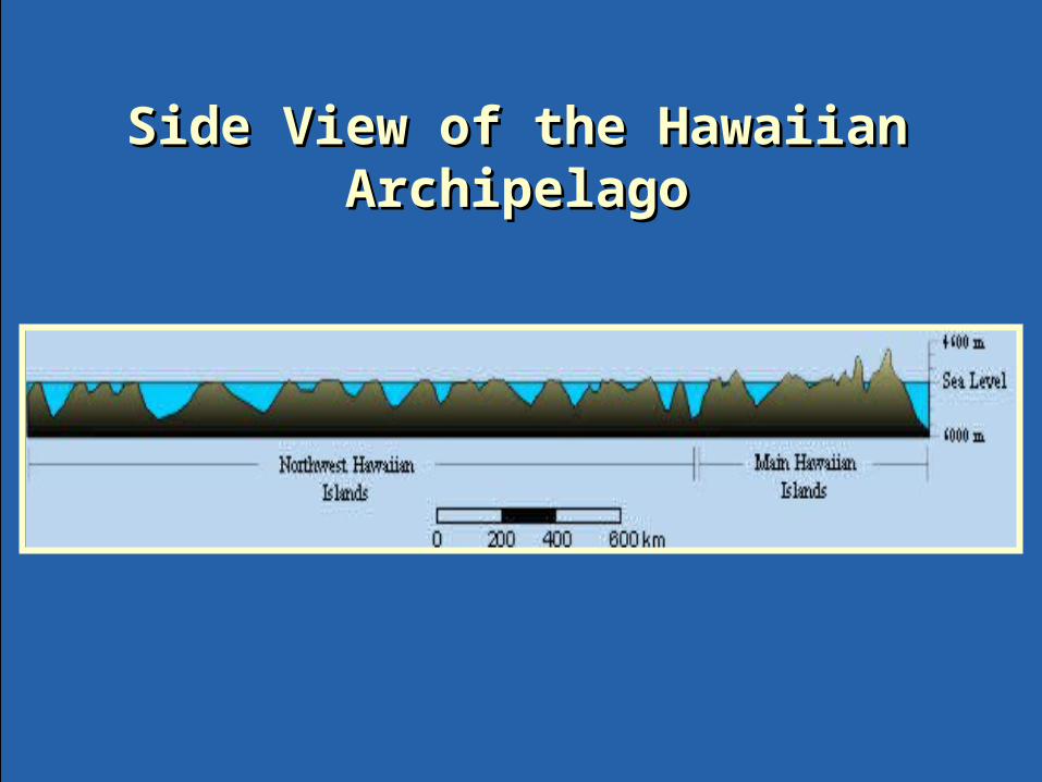
Side View of the Hawaiian Side View of the Hawaiian ArchipelagoArchipelago
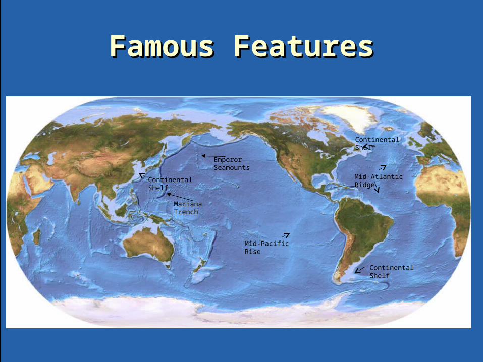
Famous FeaturesFamous Features
Mariana Trench
Mid-Atlantic Ridge
Emperor Seamounts
Continental Shelf
Continental Shelf
Continental Shelf
Mid-Pacific Rise

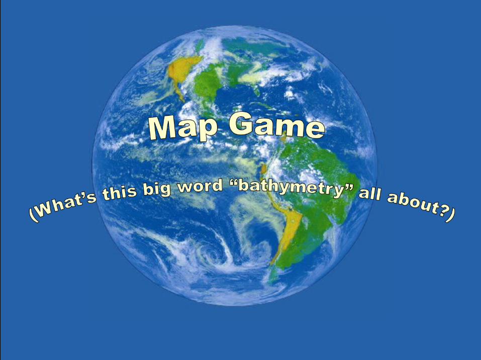
Time to play the game!Time to play the game!
• Get into teamsGet into teams• Write the answers to the questions on paper Write the answers to the questions on paper
or a white board or a white board • Each team holds up one answer for the Each team holds up one answer for the
teacher to see.teacher to see.• First team to answer correctly gets a point.First team to answer correctly gets a point.• Team with the most points wins!Team with the most points wins!


Bathymetric map of OahuBathymetric map of Oahu

Bathymetric Map of Hawaii Bathymetric Map of Hawaii

Topographic Map of HawaiiTopographic Map of Hawaii
Mauna Loa = 13,679 ft.
Each contour line on this map is equal to 1,000 feet of height, or elevation. For example, Mauna Loa on the Big Island has an elevation of 13,679 feet above the surface of the ocean.
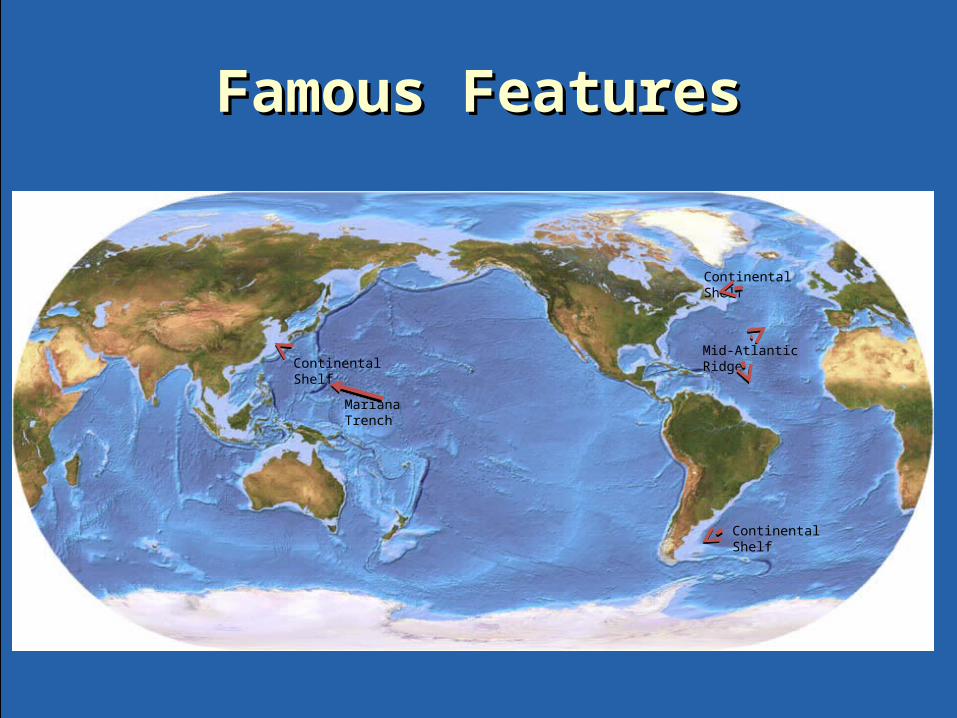
Famous FeaturesFamous Features
Mariana Trench
Mid-Atlantic Ridge
Continental Shelf
Continental Shelf
Continental Shelf