Embed Size (px)
Citation preview

Balochistan Plateau
Welcome to Balochistan
Plateau
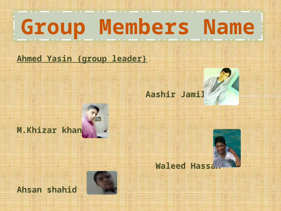
Ahmed Yasin {group leader}
Aashir Jamil
M.Khizar khan
Waleed Hassan
Ahsan shahid
Group Members Name

We have chosen this topic because Balochistan Plateau has an important role in Pakistan. It includes most of the area of Pakistan. Mostly a deserted area. A hard way to live over there. So we can get to learn more about it.
Objective
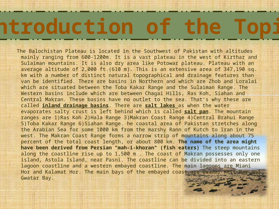
The Balochistan Plateau is located in the Southwest of Pakistan with altitudes mainly ranging from 600-1200m. It is a vast plateau in the west of Kirthar and Sulaiman mountains. It is also dry area like Potowar plateau. Plateau with an average altitude of 2,000 ft.(610 m). This is an extensive area of 347,190 sq. km with a number of distinct natural topographical and drainage features than van be identified. There are basins in Northern and which are Zhob and Loralai which are situated between the Toba Kakar Range and the Sulaiman Range. The Western basins include which are between Chagai Hills, Ras Koh, Siahan and Central Makran. These basins have no outlet to the sea. That’s why these are called inland drainage basins. There are salt lakes as when the water evaporates salty crust is left behind which is called salt pan. The mountain ranges are 1)Ras Koh 2)Hala Range 3)Makran Coast Range 4)Central Brahui Range 5)Toba Kakar Range 6)Siahan Range. he coastal area of Pakistan stretches along the Arabian Sea for some 1000 km from the marshy Rann of Kutch to Iran in the west. The Makran Coast Range forms a narrow strip of mountains along about 75 percent of the total coast length, or about 800 km. The name of the area might have been derived from Persian "mah-i-khoran" (fish eaters) The steep mountains along the coastline rise up to 1,500 m . The coast of Makran possesses only one island, Astola Island, near Pasni. The coastline can be divided into an eastern lagoon coastline and a western embayed coastline. The main lagoons are Miani Hor and Kalamat Hor. The main bays of the embayed coast are Gwadar West Bay and Gwatar Bay.
Introduction of the Topic
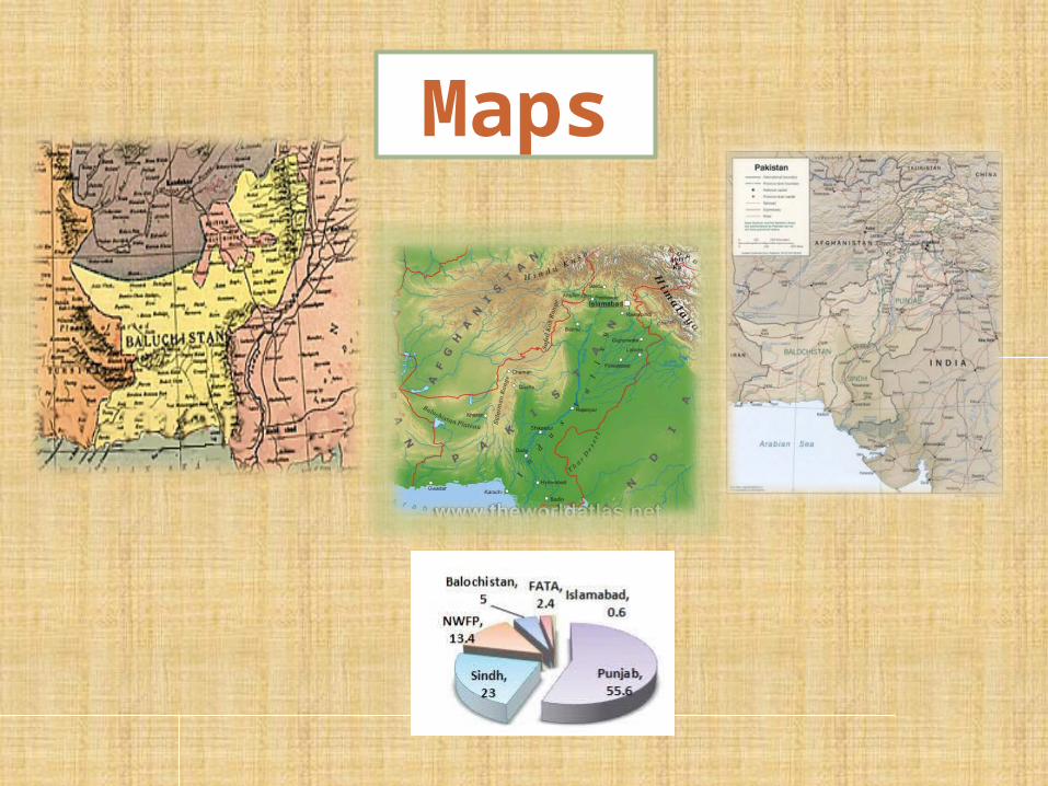
Maps
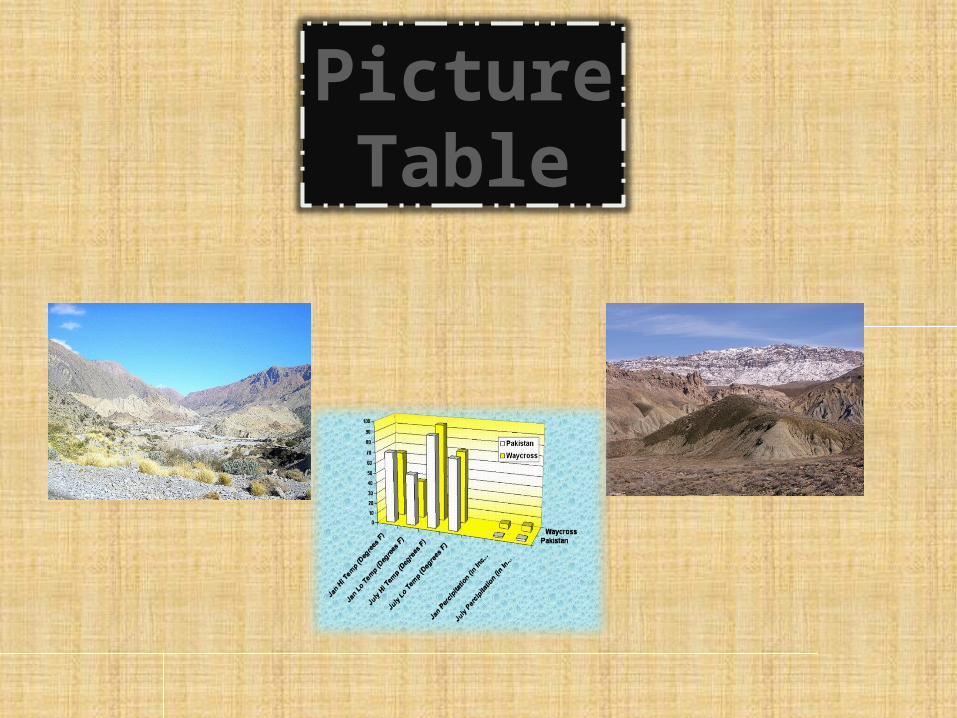
PictureTable
I have taken this information from Wikipedia and some other websites. Pictures have been taken from www.balochistanplateauimages.com.pk. These websites are helpful. Some of the information is added up by me. This topic is given by our teacher. The main root of this subject is me teacher. Some of the information I got from my book.
Resources
From this subject I and my group friends learned that Balochistan is one of the main province in Pakistan. My class mates and I also learned about it.
CONCLUSION