Embed Size (px)
Citation preview
An overview of
Wetland Delineation
In preparation for next week’s field trip
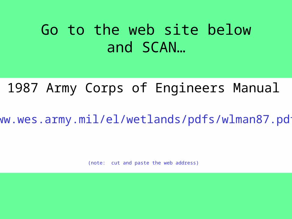
Go to the web site below and SCAN…
1987 Army Corps of Engineers Manual
www.wes.army.mil/el/wetlands/pdfs/wlman87.pdf
(note: cut and paste the web address)
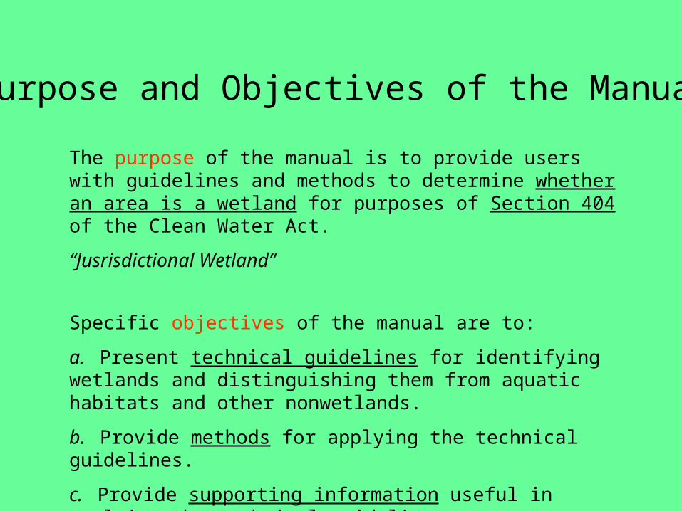
The purpose of the manual is to provide users with guidelines and methods to determine whether an area is a wetland for purposes of Section 404 of the Clean Water Act.
“Jusrisdictional Wetland”
Specific objectives of the manual are to:
a. Present technical guidelines for identifying wetlands and distinguishing them from aquatic habitats and other nonwetlands.
b. Provide methods for applying the technical guidelines.
c. Provide supporting information useful in applying the technical guidelines.
Purpose and Objectives of the Manual
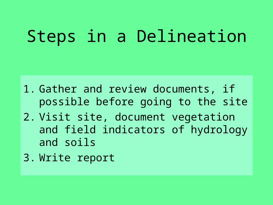
Steps in a Delineation
1. Gather and review documents, if possible before going to the site
2. Visit site, document vegetation and field indicators of hydrology and soils
3. Write report
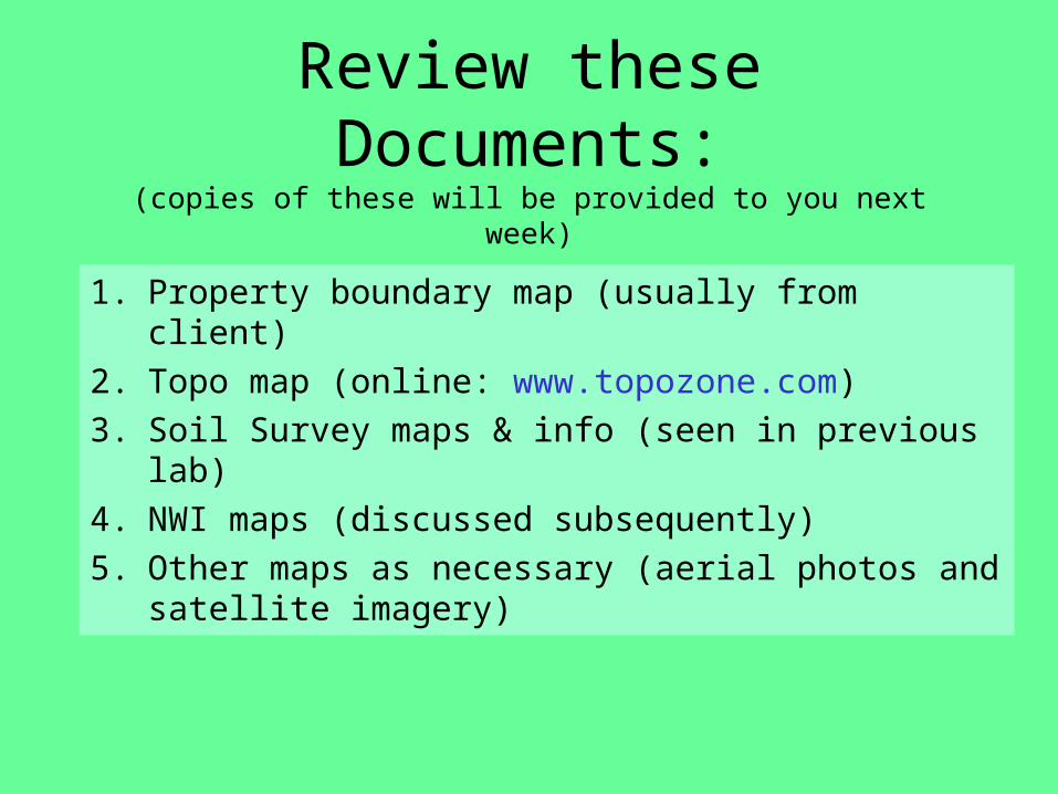
Review these Documents:(copies of these will be provided to you next week)
1. Property boundary map (usually from client) 2. Topo map (online: www.topozone.com)3. Soil Survey maps & info (seen in previous
lab)4. NWI maps (discussed subsequently)5. Other maps as necessary (aerial photos and
satellite imagery)
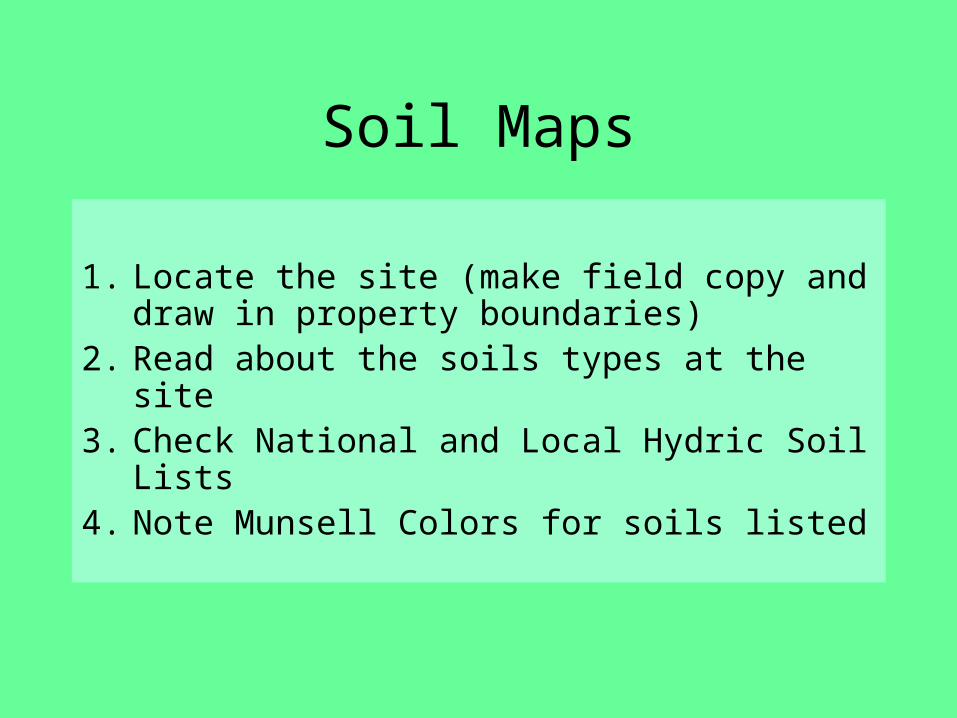
Soil Maps
1. Locate the site (make field copy and draw in property boundaries)
2. Read about the soils types at the site
3. Check National and Local Hydric Soil Lists
4. Note Munsell Colors for soils listed
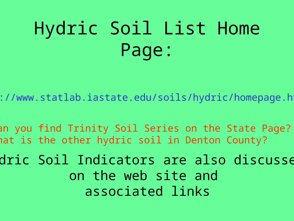
Hydric Soil List Home Page:
http://www.statlab.iastate.edu/soils/hydric/homepage.html
Can you find Trinity Soil Series on the State Page?What is the other hydric soil in Denton County?
Hydric Soil Indicators are also discussed on the web site and
associated links
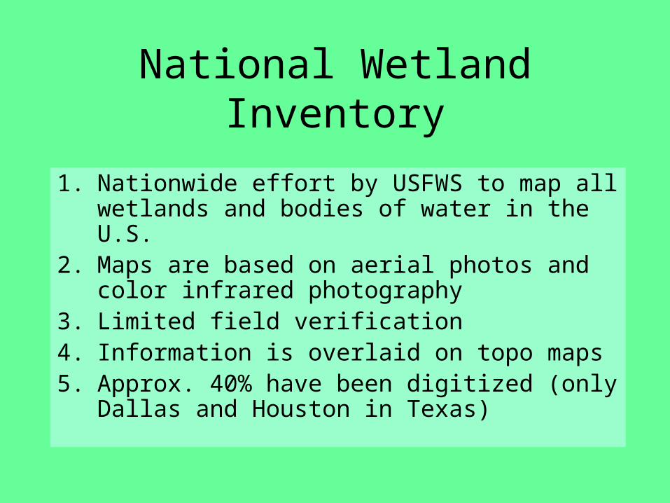
National Wetland Inventory
1. Nationwide effort by USFWS to map all wetlands and bodies of water in the U.S.
2. Maps are based on aerial photos and color infrared photography
3. Limited field verification4. Information is overlaid on topo maps 5. Approx. 40% have been digitized (only
Dallas and Houston in Texas)
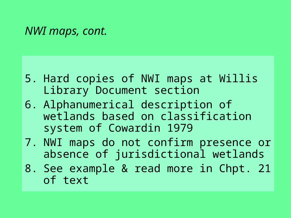
NWI maps, cont.
5. Hard copies of NWI maps at Willis Library Document section
6. Alphanumerical description of wetlands based on classification system of Cowardin 1979
7. NWI maps do not confirm presence or absence of jurisdictional wetlands
8. See example & read more in Chpt. 21 of text
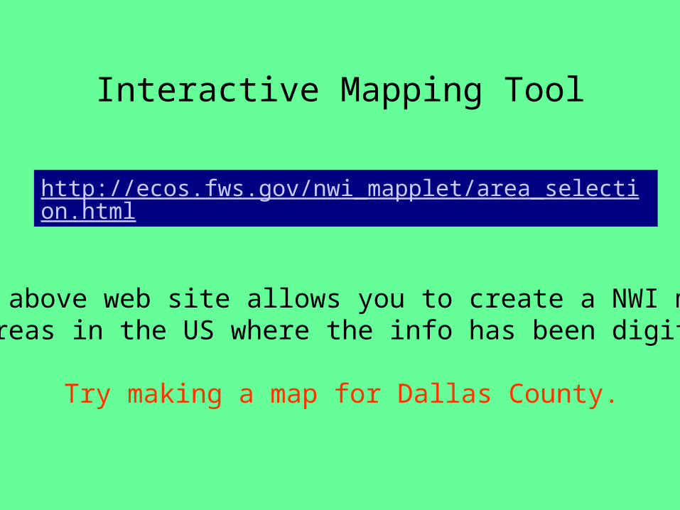
Interactive Mapping Tool
http://ecos.fws.gov/nwi_mapplet/area_selection.html
The above web site allows you to create a NWI map for areas in the US where the info has been digitized.
Try making a map for Dallas County.

NWI mapfor NEPADocumentLewisvilleLakeManagementPlan
http://www.swf.usace.army.mil/links/OPs/Lewisville/toc/exh5no1.jpg
Zoom in and find the water budget site. Is it mapped as a wetland? What type are the nearest wetlands to the site?
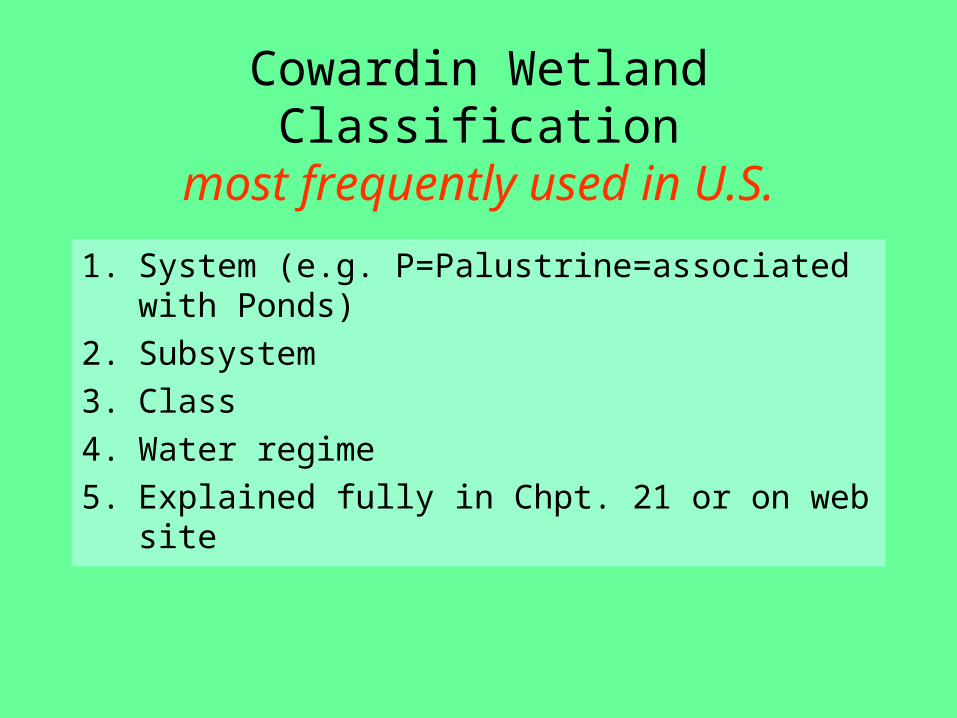
Cowardin Wetland Classificationmost frequently used in U.S.
1. System (e.g. P=Palustrine=associated with Ponds)
2. Subsystem 3. Class4. Water regime 5. Explained fully in Chpt. 21 or on web site
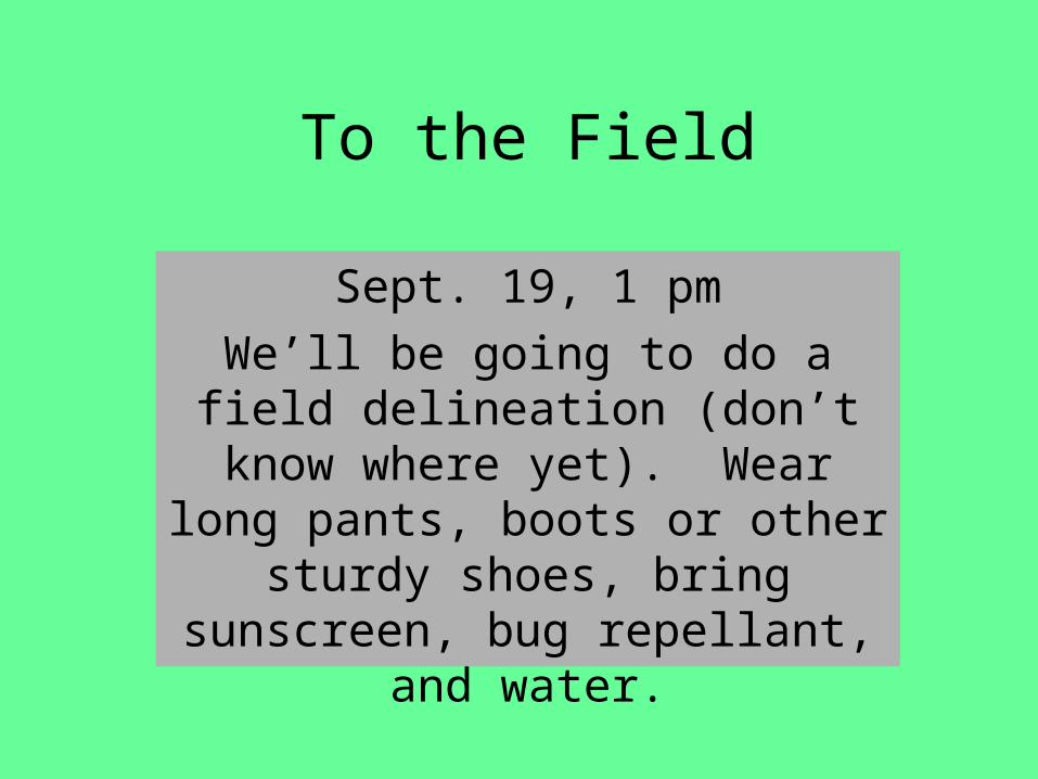
To the Field
Sept. 19, 1 pmWe’ll be going to do a field
delineation (don’t know where yet). Wear long pants, boots or other sturdy shoes, bring
sunscreen, bug repellant, and water.
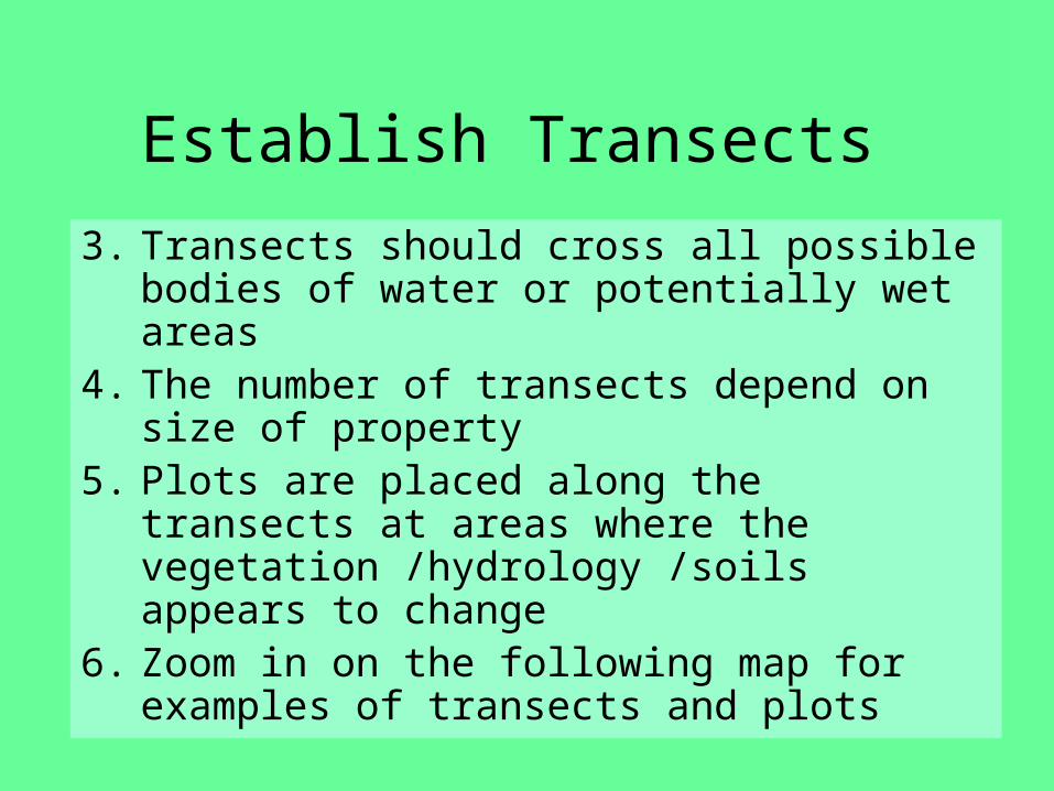
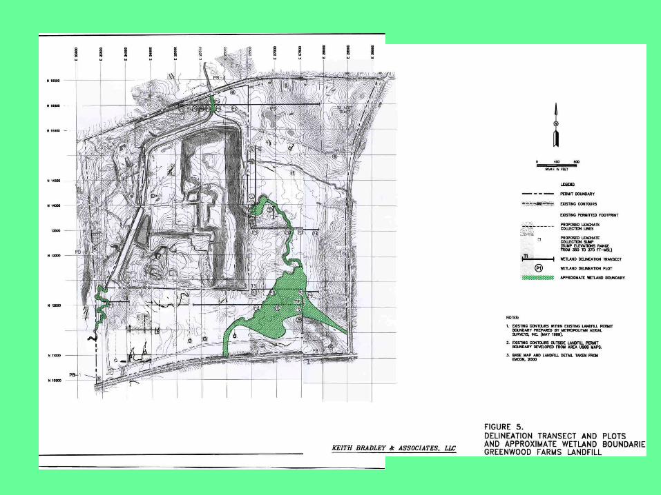
Establish Transects
3. Transects should cross all possible bodies of water or potentially wet areas
4. The number of transects depend on size of property
5. Plots are placed along the transects at areas where the vegetation /hydrology /soils appears to change
6. Zoom in on the following map for examples of transects and plots
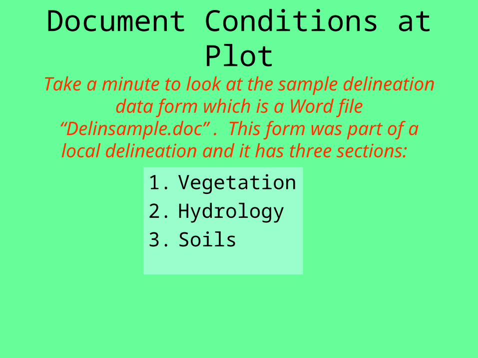
Document Conditions at Plot
Take a minute to look at the sample delineation data form which is a Word file “Delinsample.doc” . This form was part of
a local delineation and it has three sections:
1. Vegetation2. Hydrology3. Soils
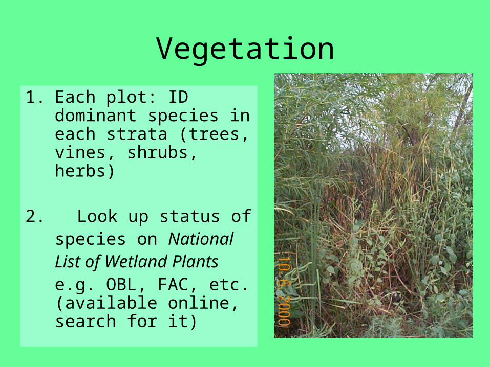
Vegetation
1. Each plot: ID dominant species in each strata (trees, vines, shrubs, herbs)
2. Look up status of species on National List of Wetland Plants e.g. OBL, FAC, etc. (available online, search for it)
Vegetation cont’
1. Is the percentage of dominant plant species that are hydrophytes (FAC, FACW and OBL) greater than 50%?
2. See chapter 21 or the Manual for explanations of these terms.
3. If yes, then wetland vegetation is present.
Wetland Hydrology
1. Check for saturation within 12 inches
2. Look for wetland hydrology field indicators (drift lines, water marks, sediment deposits, etc.)
3. Include recorded or historical data such as stream gages, flood maps, etc.
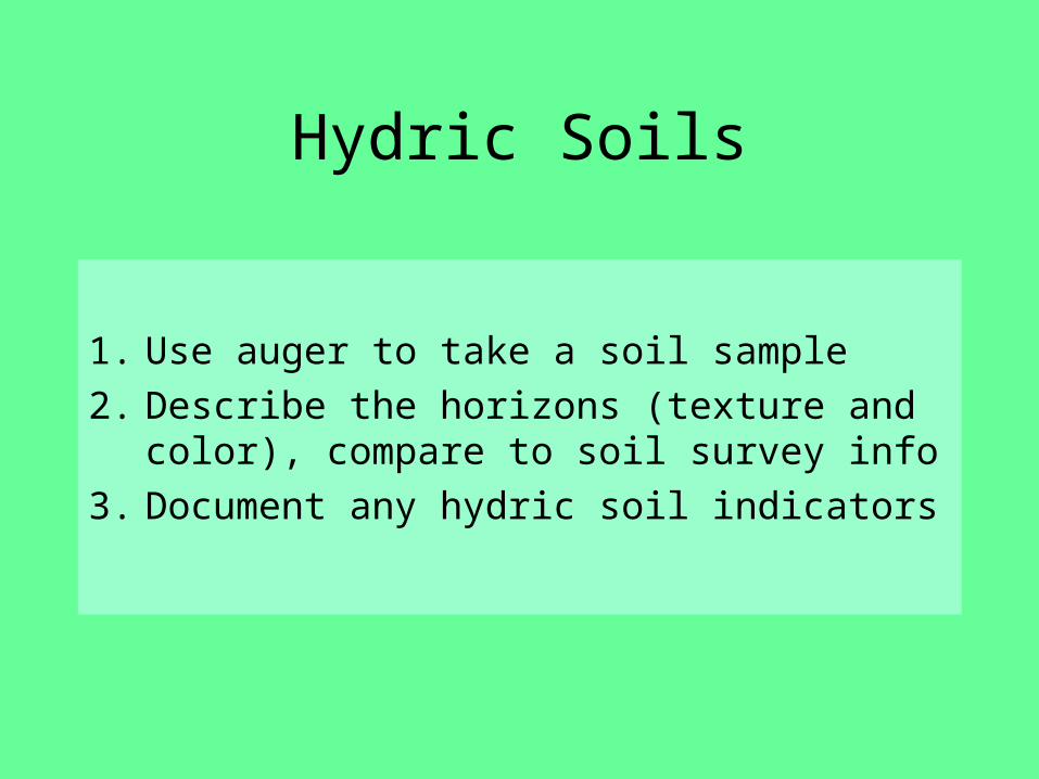
Hydric Soils
1. Use auger to take a soil sample2. Describe the horizons (texture and
color), compare to soil survey info3. Document any hydric soil indicators
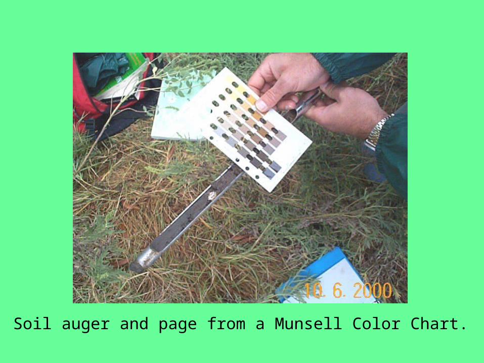
Soil auger and page from a Munsell Color Chart.

Make a Determination
If wetland vegetation, hydrology,
and soils are
present, then the site is a
wetland.
Dominant vegetation is Eragrostis repens, soil is saturated and has hydric indicators, is this plot located in a wetland?
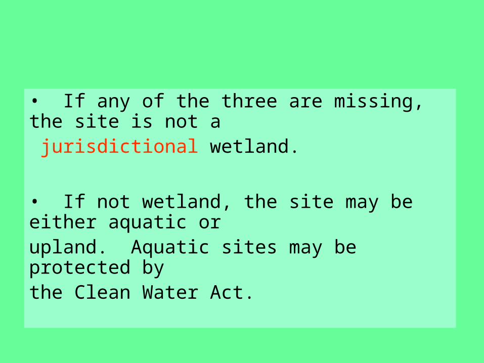
• If any of the three are missing, the site is not a jurisdictional wetland.
• If not wetland, the site may be either aquatic or upland. Aquatic sites may be protected by the Clean Water Act.
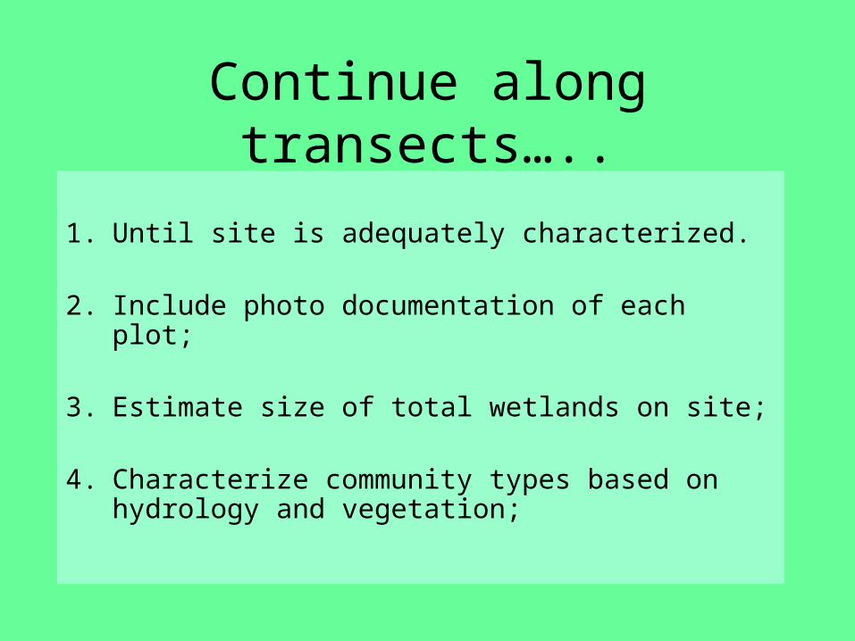
Continue along transects…..
1. Until site is adequately characterized.
2. Include photo documentation of each plot;
3. Estimate size of total wetlands on site;
4. Characterize community types based on hydrology and vegetation;
Write Report
1. In lieu of the full report, each student will turn in the data sheets (one sheet per plot)
2. If you can’t identify a plant in the field, bring a complete sample in a zip lock bag back to the lab, if you’re nice, Robin Buckallew might help you id the plant.
3. Data sheets due Sept. 26.
GOOD NEWS!!!