Embed Size (px)
Citation preview

Dr. Anna Maria Marras University of Trento
The New Approaches to Geoinformation Research
February 01, 2011, Ulaanbaatar, NUM
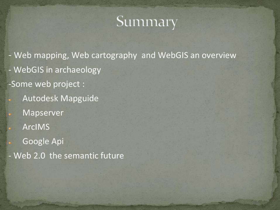
It is a GIS on the webWebGIS is a technology that allows spatial information to be presented in a user friendly format on the Internet. As you will find out, WebGIS is much more than just a static map found on the web. Web GIS is capable of disseminating data, especially spatial data, widely over the internet for a wider audience
It allows for :data creationdata editingdata analysisquery building
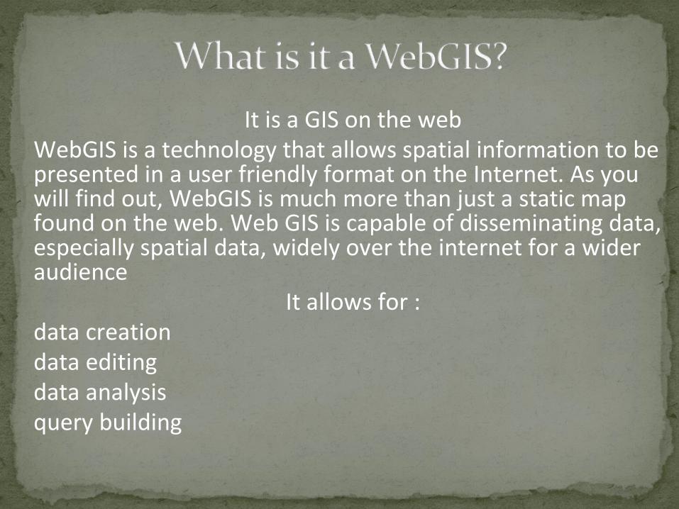
Spatial analysis
VS
3D data
Interactivity
Webmapping
WebGIS
Webcartography
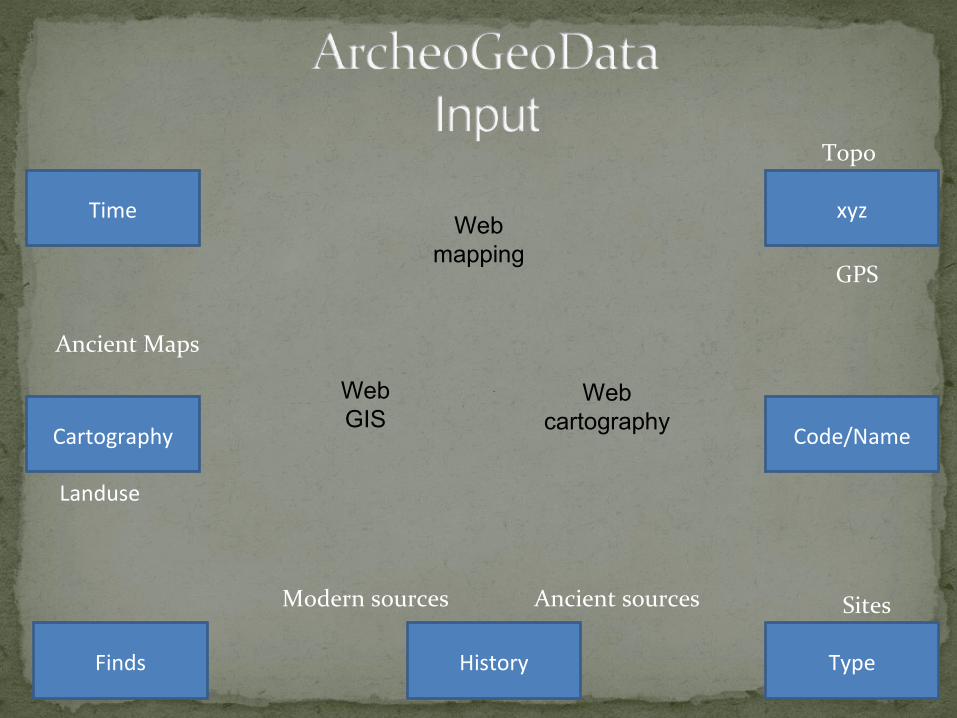
Time
Cartography
Finds History Type
Code/Name
xyz
Ancient Maps
Landuse
Modern sources Ancient sources Sites
GPS
Topo
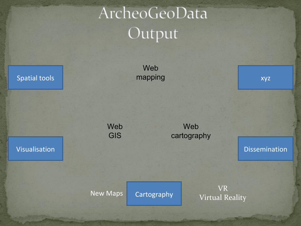
Webmapping
WebGIS
Webcartography
Spatial tools
Visualisation
xyz
Dissemination
CartographyNew MapsVR
Virtual Reality
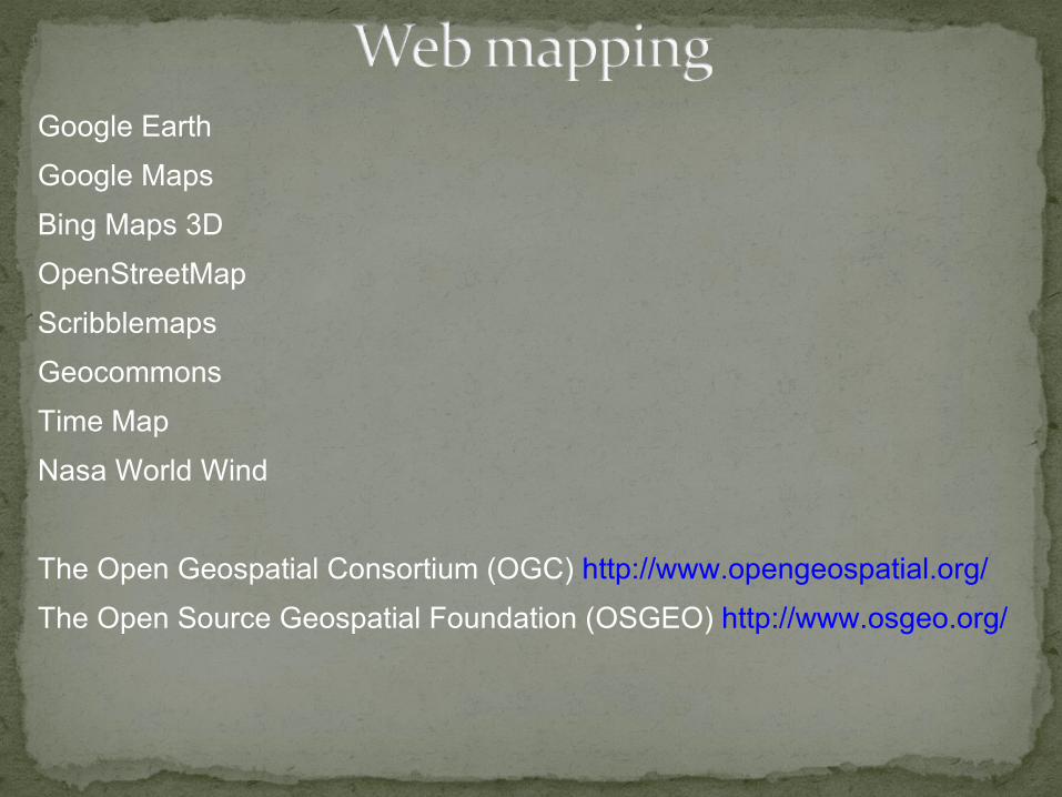
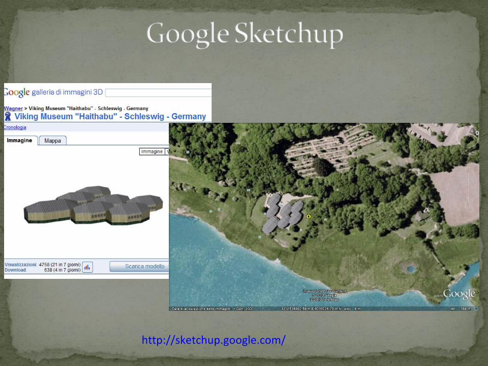
Google Earth
Google Maps
Bing Maps 3D
OpenStreetMap
Scribblemaps
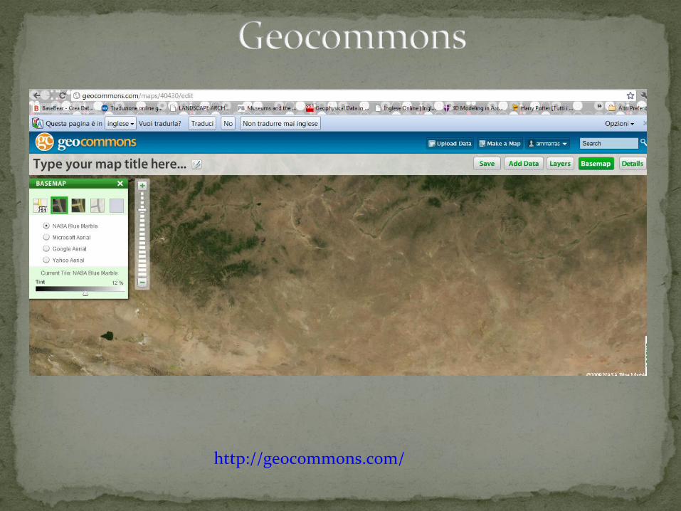
Geocommons
Time Map
Nasa World Wind
The Open Geospatial Consortium (OGC) http://www.opengeospatial.org/
The Open Source Geospatial Foundation (OSGEO) http://www.osgeo.org/
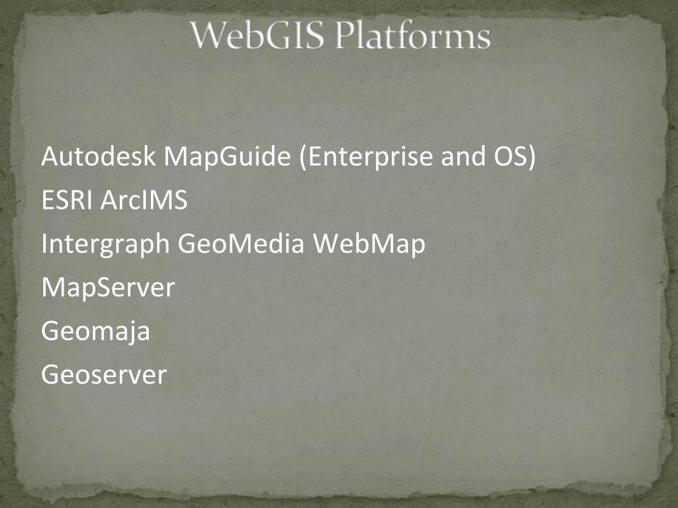
Autodesk MapGuide (Enterprise and OS)
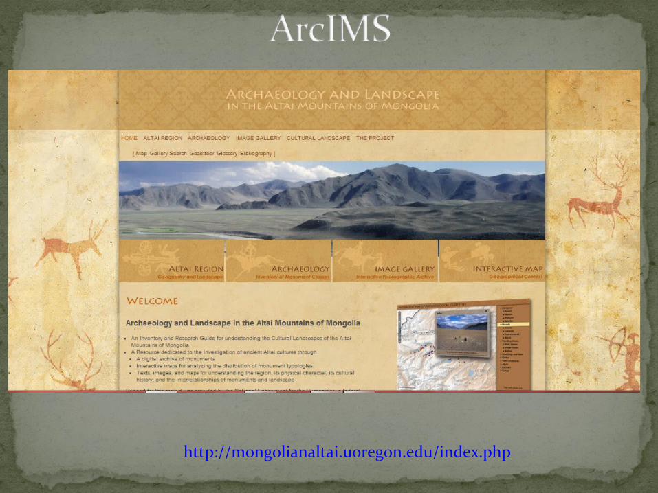
ESRI ArcIMS
Intergraph GeoMedia WebMap
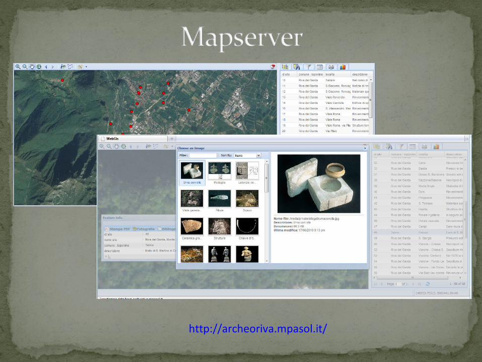
MapServer
Geomaja
Geoserver
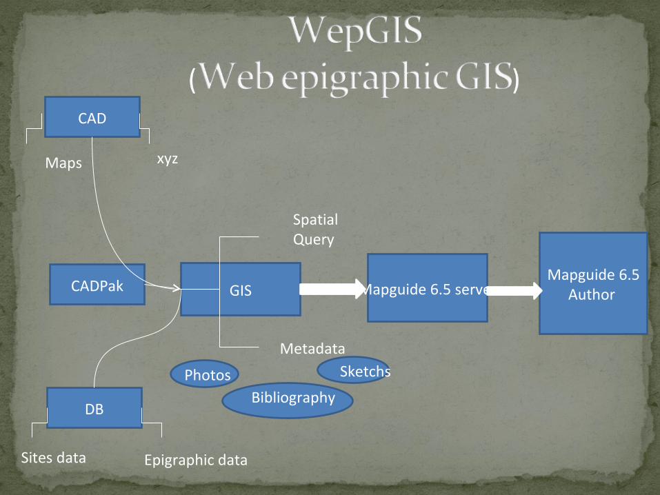
CAD
GIS
DB
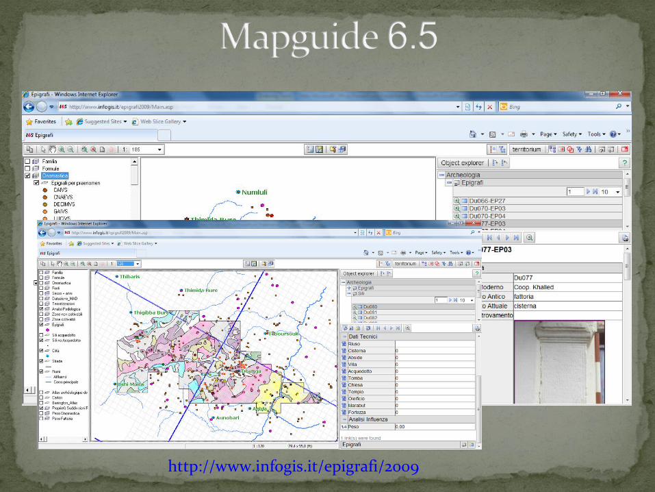
CADPak Mapguide 6.5 serverMapguide 6.5
Author
Epigraphic dataSites data
Maps xyz
Metadata
Spatial Query
Photos Sketchs
Bibliography
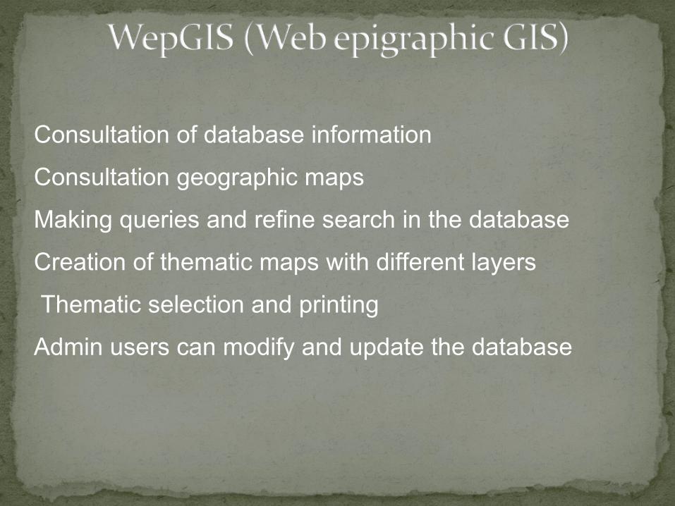
Consultation of database information
Consultation geographic maps
Making queries and refine search in the database
Creation of thematic maps with different layers
Thematic selection and printing
Admin users can modify and update the database
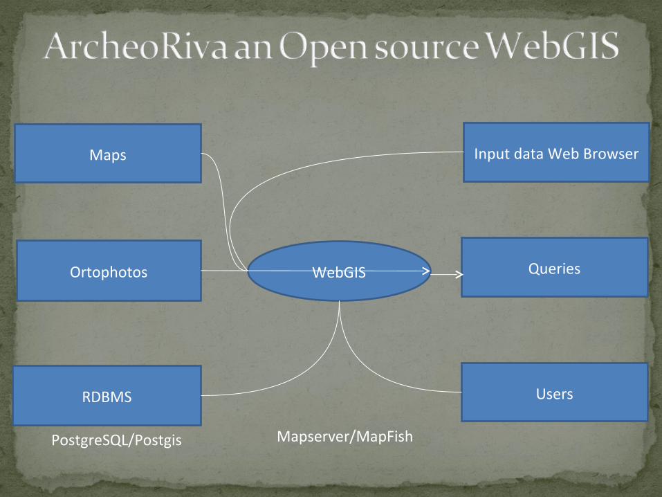
Mapserver/MapFishPostgreSQL/Postgis
RDBMS
WebGIS
Maps
Ortophotos
Input data Web Browser
Queries
Users
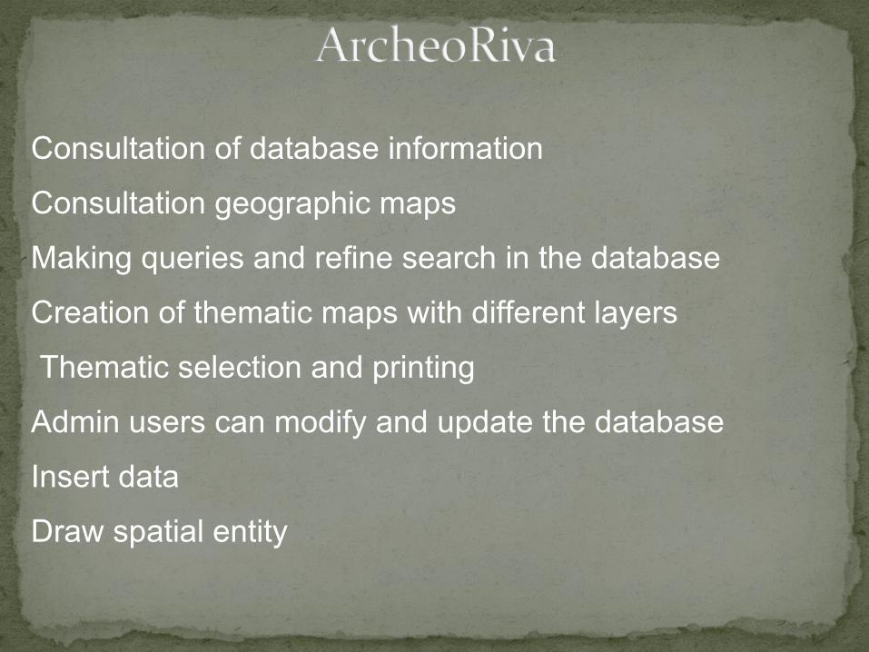
Consultation of database information
Consultation geographic maps
Making queries and refine search in the database
Creation of thematic maps with different layers
Thematic selection and printing
Admin users can modify and update the database
Insert data
Draw spatial entity
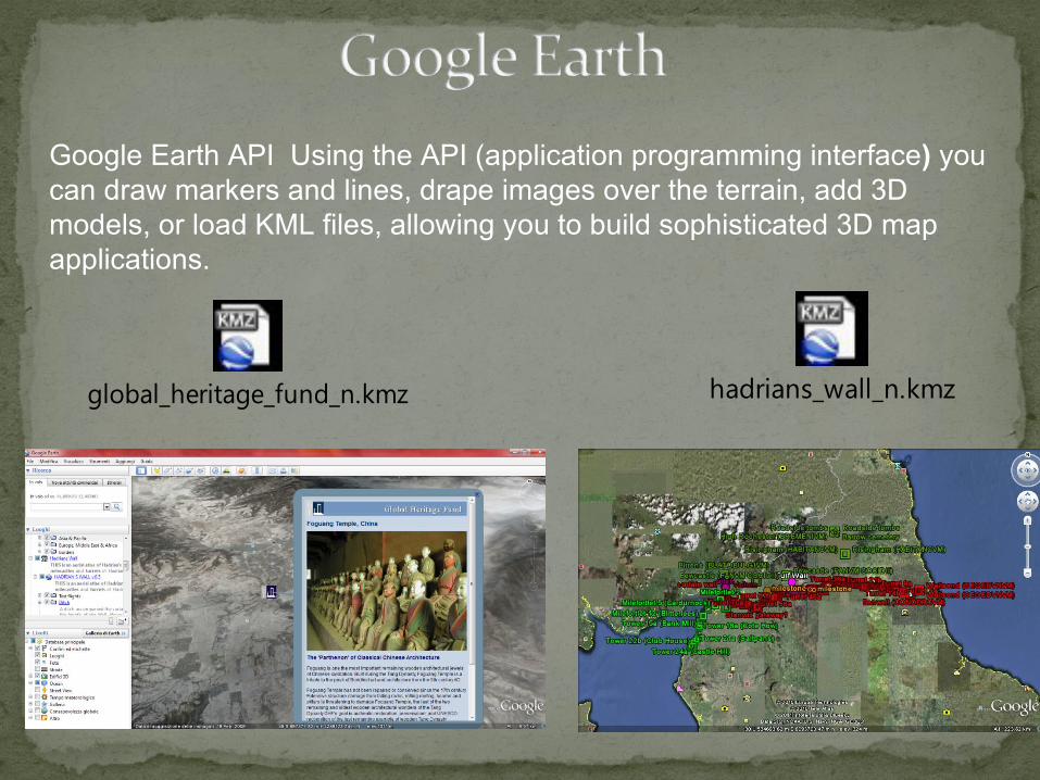
Google Earth API Using the API (application programming interface) you can draw markers and lines, drape images over the terrain, add 3D models, or load KML files, allowing you to build sophisticated 3D map applications.
global_heritage_fund_n.kmz hadrians_wall_n.kmz
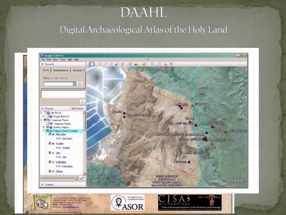
The DAAHL brings together experts in GIS and the archaeology of the Holy Land (Israel, Palestine, Jordan, southern Lebanon, Syria and the Sinai Peninsula) to create the first online digital atlas of the region. Using the power of Google Maps and the Google Earth API, the tens of thousands of recorded archaeological sites for the region - from the remote prehistoric periods to the early 20th century - will be entered into a comprehensive database along with site maps, photographs and artifacts.
http://daahl.ucsd.edu/
http://gaialab.asu.edu/home/#aster
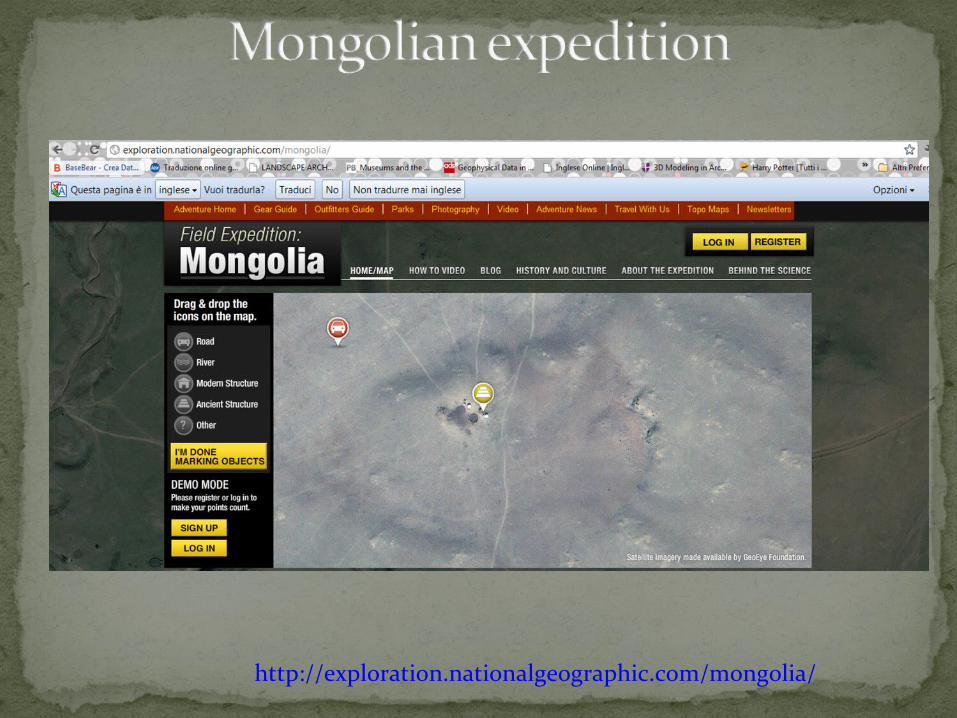
http://exploration.nationalgeographic.com/mongolia/
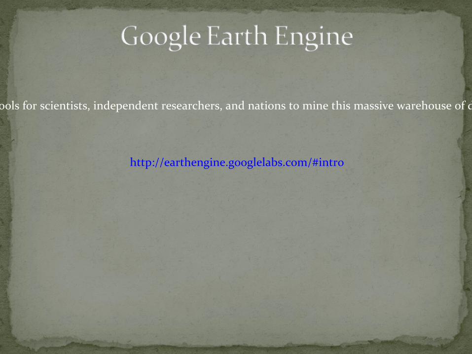
Brings together the world's satellite imagery and makes it available online with tools for scientists, independent researchers, and nations to mine this massive warehouse of data to detect changes, map trends and quantify differences to the earth's surface.
http://earthengine.googlelabs.com/#intro
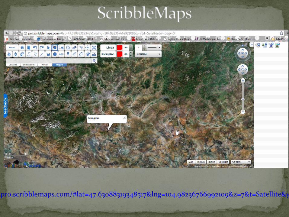
http://pro.scribblemaps.com/#lat=47.63088319348517&lng=104.98236766992109&z=7&t=Satellite&y=0&p=0
Dialog Document and Integrate Ancient Linked Open GeodataDIALOG will employ Linked Open Data (LOD) principles to connect textual, visual and tabular documents that reference places in Ancient World research. It will do so by:
Defining a Core Ontology for Place References (COPR).
Documenting the processes by which different document types can align place references to Uniform Resource Identifiers (URIs) in the Pleiades gazetteer of ancient places and publish Resource
Developing neo-geographic Web services and tools that can make the published RDF available easily consumable by learners, educators, researchers and the public.

The CIDOC Conceptual Reference Model (CRM) provides definitions and a formal structure for describing the implicit and explicit concepts and relationships used in cultural heritage documentation
HESTIA provides a new approach towards conceptions of space in the ancient world, supported by a grant from the Arts and Humanities Research Council (AHRC)
Combining a variety of different methods, it examines the ways in which space is represented in Herodotus' History, in terms of places mentioned and geographic features described
It develops visual tools to capture the 'deep' topological structures of the text, extending beyond the usual two-dimensional Cartesian maps of the ancient world
http://www.open.ac.uk/Arts/hestia/
http://www.nickrabinowitz.com/projects/timemap/herodotus/basic.html
http://www.open.ac.uk/Arts/hestia/index.html
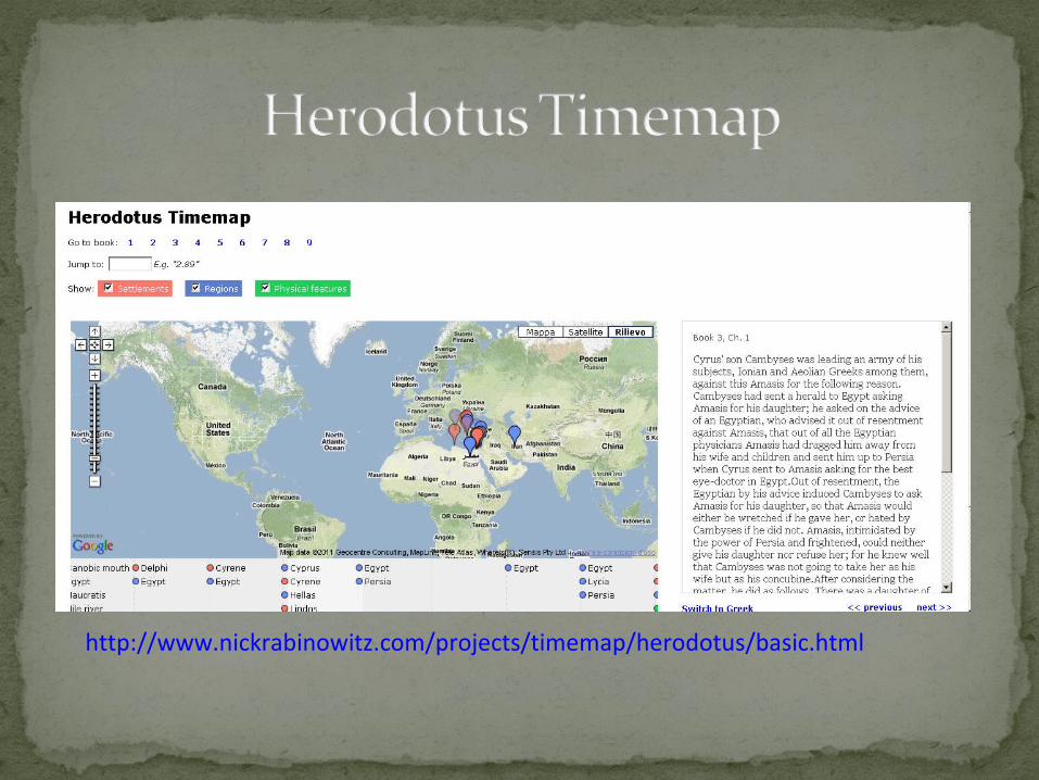
http://www.nickrabinowitz.com/projects/timemap/herodotus/basic.html
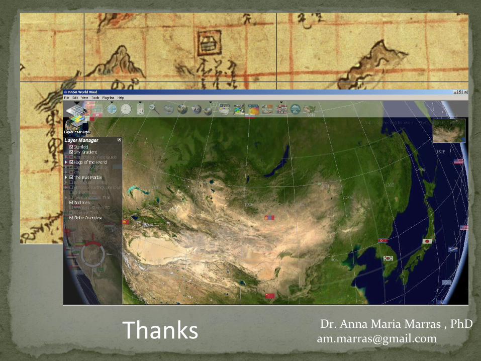
Thanks Dr. Anna Maria Marras , [email protected]


![By DA CHART, MRIA [Read, 6th March, 1914.] - TARA](https://img.dokumen.tips/doc/110x75/62060584cf456418c32f06b1/by-da-chart-mria-read-6th-march-1914-tara.jpg)